Riggindale Round
Sat 26 Sep 2015
Route: Mardale Head - Rough Crag - Caspel Gate Tarn - Long Stile - High Street - Straits of Riggindale - Kidsty Pike - Kidsty Howes - Riggindale - Haweswater - Mardale Head
Distance: 7.25 miles
Ascent: 2,420ft
Time: 4 hours 30 minutes
With: Anne
Notes:
Blanket of high cloud. No wind making for warm walking
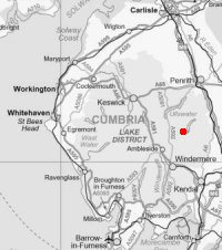

© Crown copyright. All rights reserved. Licence number AL100038401
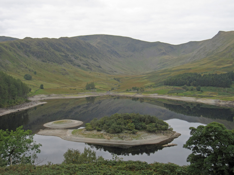
Looking over the island of Wood Howe to Riggindale

New sign. About time too, the old one had a spelling mistake!

Heading for The Rigg
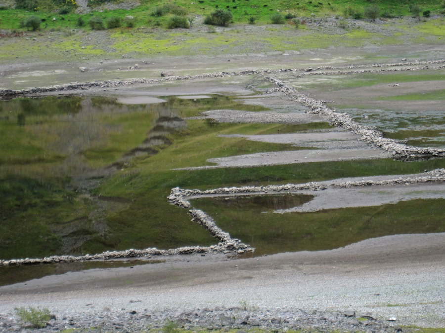
Low water levels reveal the old walls
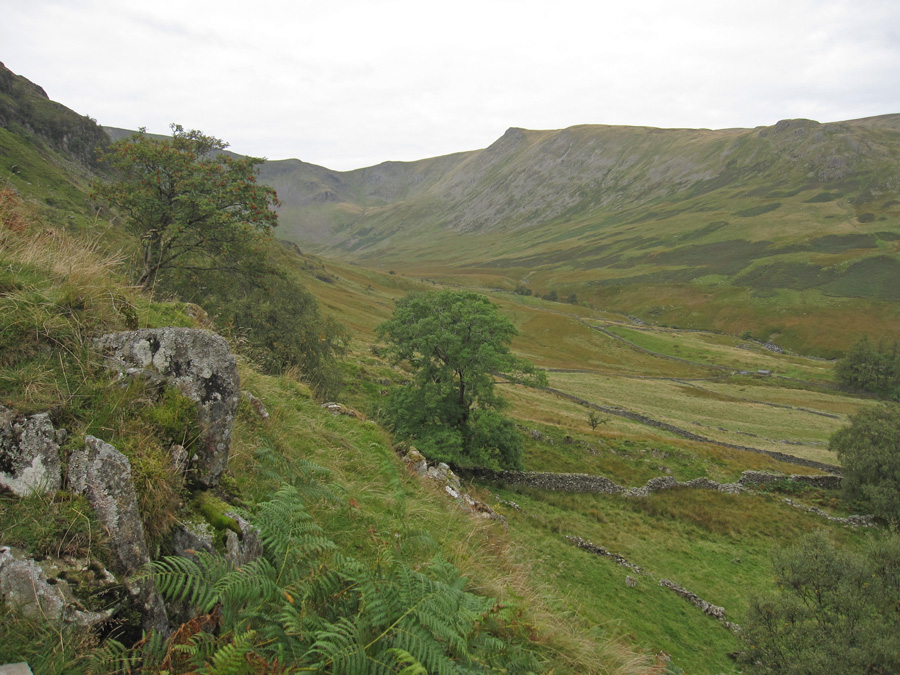
Riggindale

Starting our ascent of Rough Crag

Haweswater
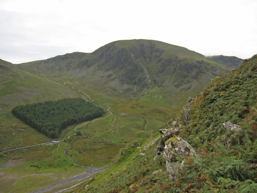
Harter Fell

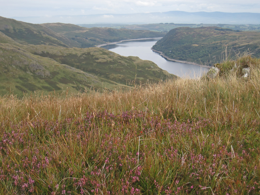
Last of the heather
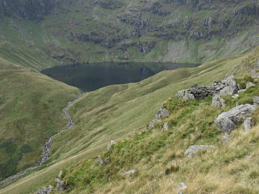
Blea Water
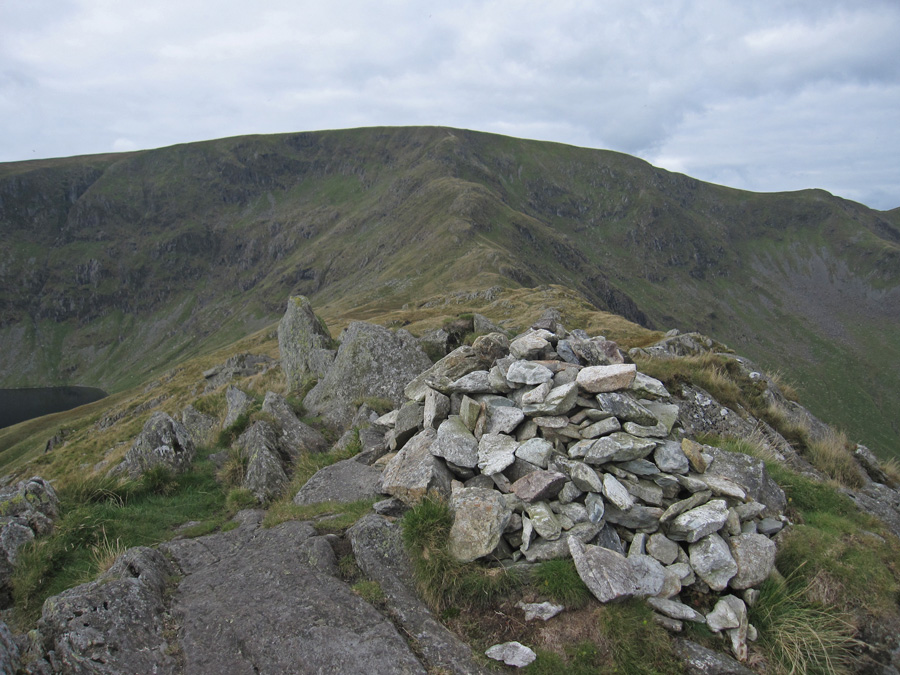
Rough Crag summit, looking towards High Street
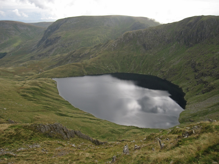
Blea Water with Harter Fell behind

Looking back down Long Stile to Rough Crag and Caspel Gate Tarn
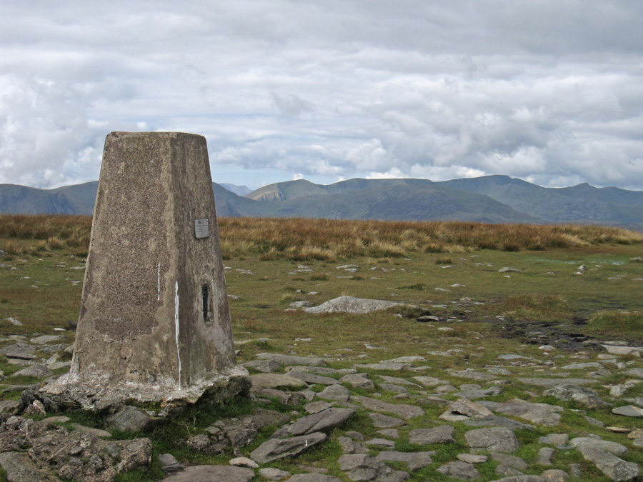
High Street's summit trig

Sun on Gray Crag and Hayeswater far below
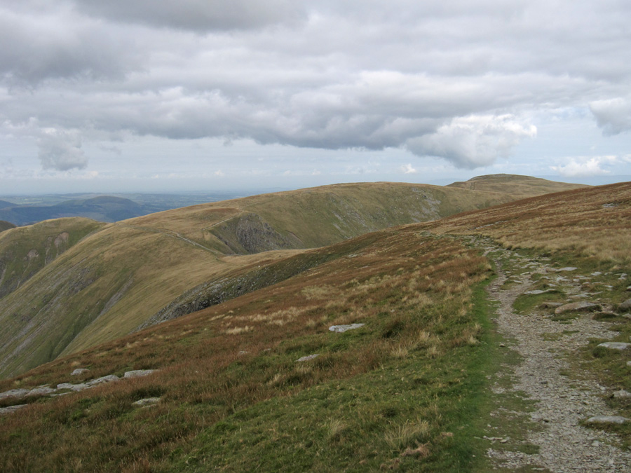
On the Roman Road heading for the Straits of Riggindale

Brock Crags in sunshine now
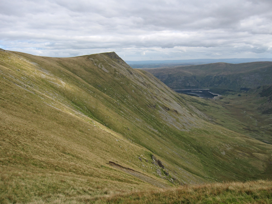
Kidsty Pike
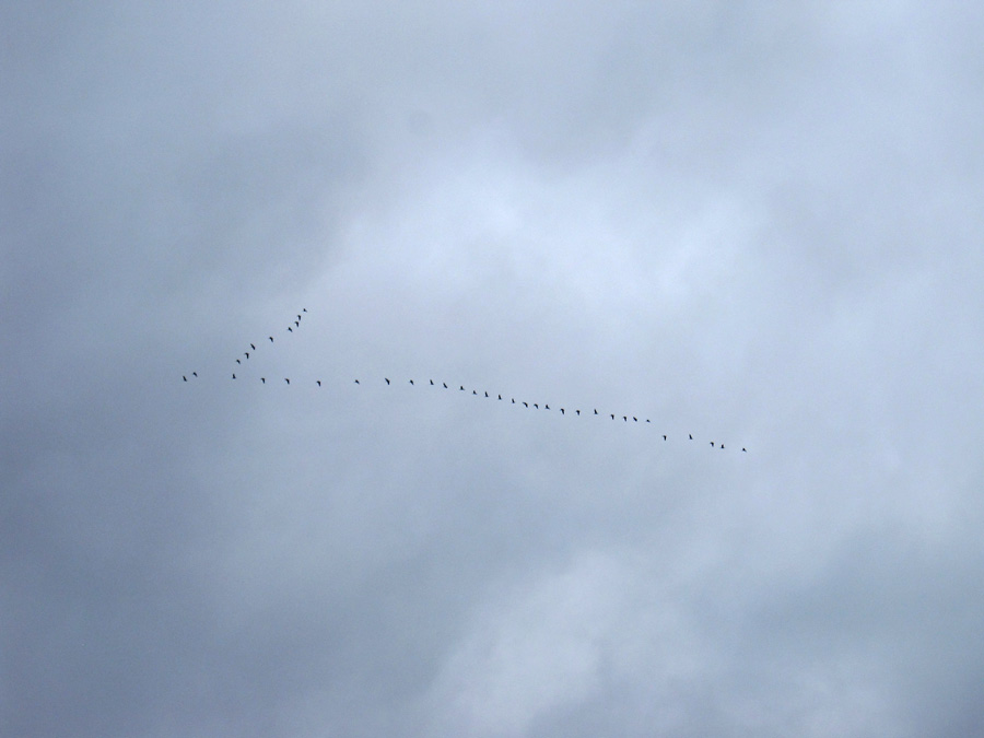
Flypast

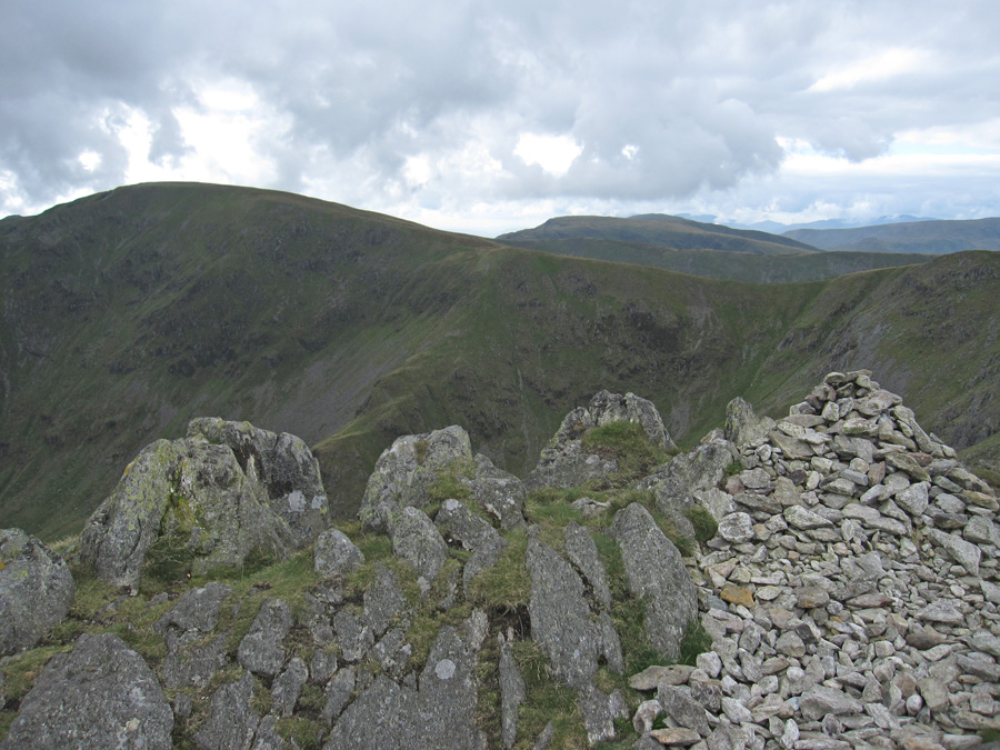
Kidsty Pike summit
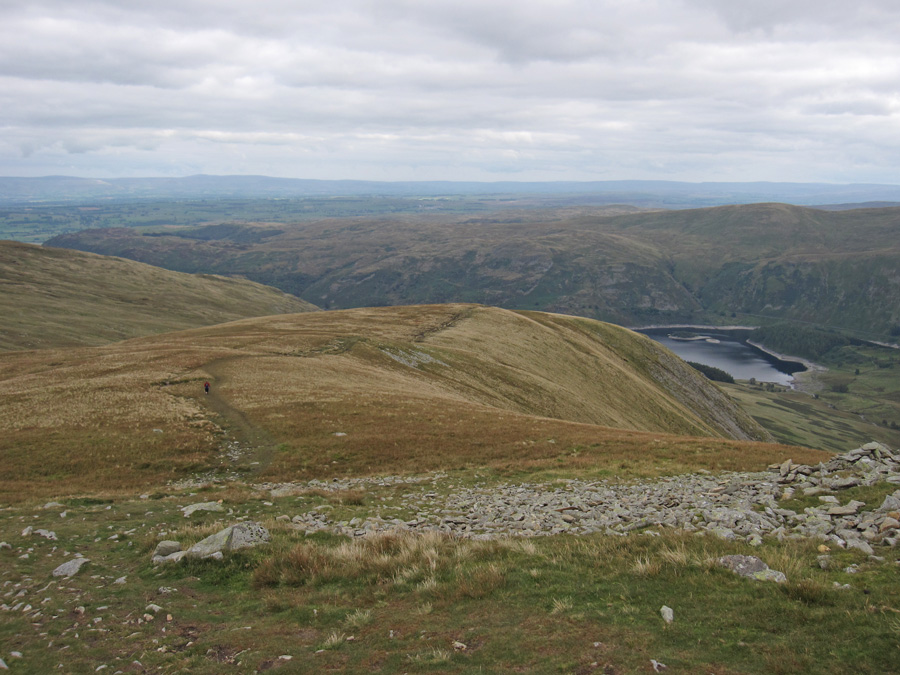
Heading down...

...to Kidsty Howes

Speaking Crag sticking out into Haweswater

Castle Crag in the sun on the far side of Haweswater, taken on the drive home
Previous Walk: Grasmere and Rydal Water (Sun 20 Sep 2015)
Next Walk: Catbells (Sun 27 Sep 2015)