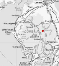
Red Tarn and Birkhouse Moor
Thu 24 Feb 2011
Route: Glenridding village - Greenside Road - Red Tarn Beck path - Red Tarn - Birkhouse Moor - Mires Beck path - Glenridding village
Distance: 6.00 miles
Ascent: 1,900ft
Time: 4 hours
With: On own
Notes:
Broken cloud, very mild, windy
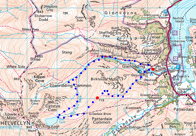
© Crown copyright. All rights reserved. Licence number AL100038401
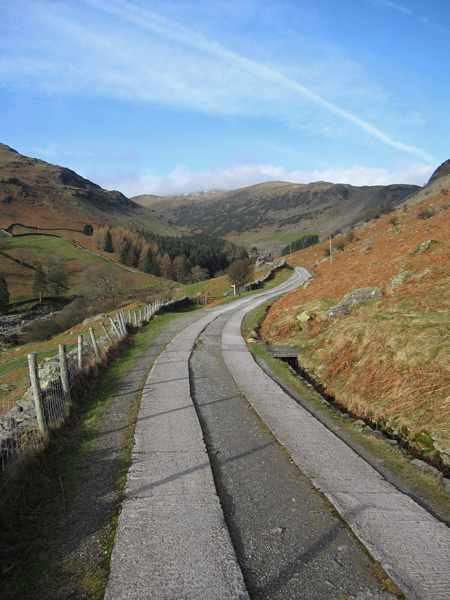
Looking up the Greenside Road
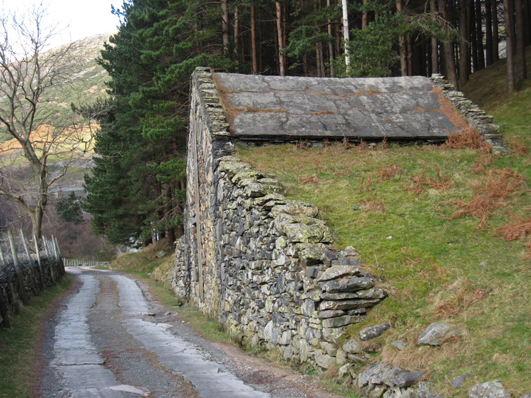
An old mine building, built into the ground
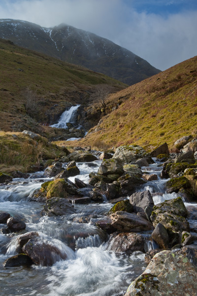
Catstycam from by Glenridding Beck
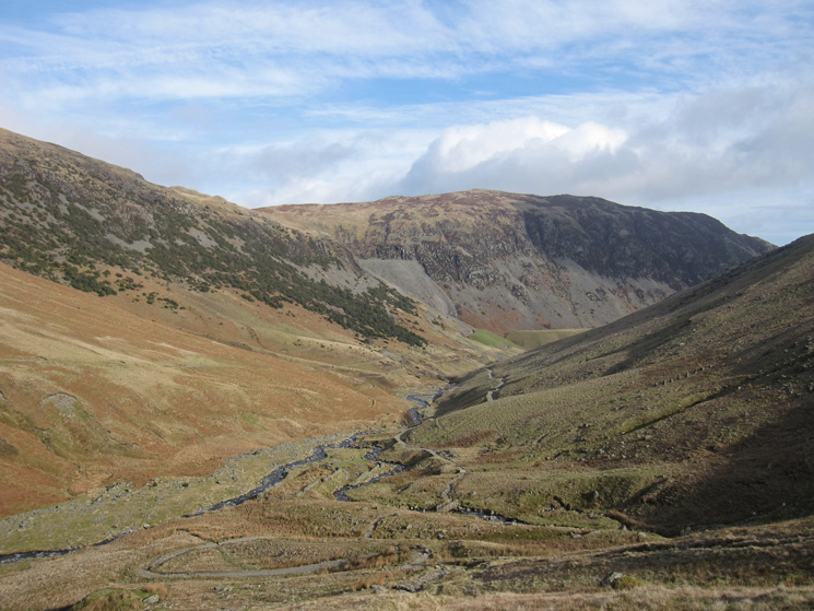
Looking back down the path and across to Sheffield Pike
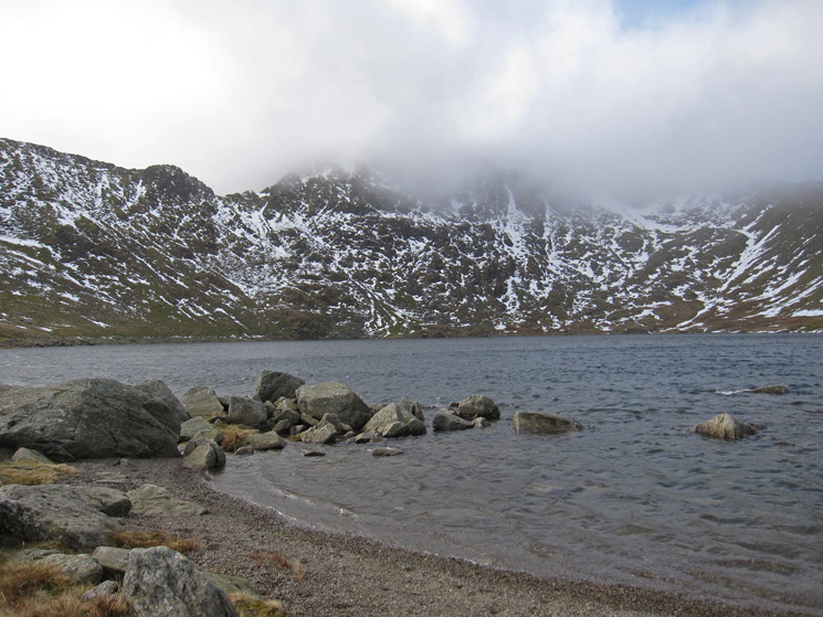
Across Red Tarn to Helvellyn
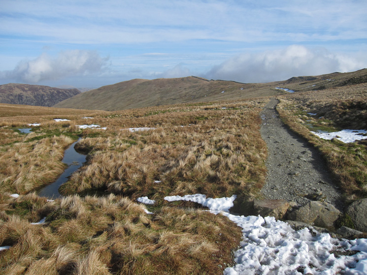
The path to The Hole in the Wall from Red Tarn, and then on to Birkhouse Moor
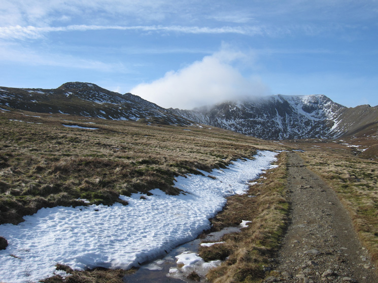
Looking back to a clearer Helvellyn
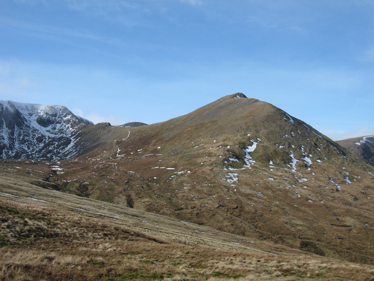
Catstycam and Swirral Edge onto Helvellyn
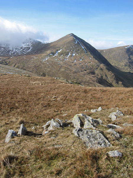
Catstycam
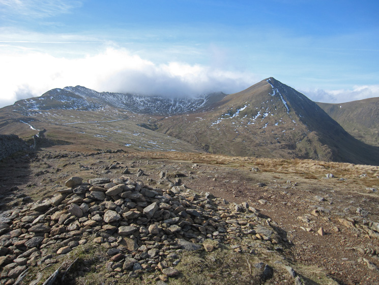
High Spying How (Striding Edge), Helvellyn in cloud and Catstycam from Birkhouse Moor's summit
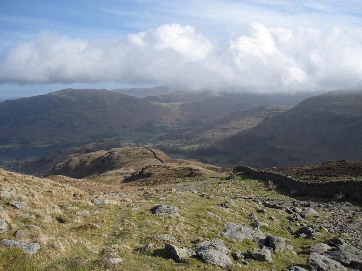
Birkhouse Moor's east ridge
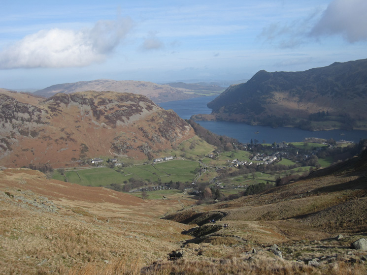
Looking down on Glenridding and Ullswater from the Mires Beck path
Previous Walk: Aira Force and Gowbarrow Fell (Sat 19 Feb 2011)
Next Walk: Angletarn Pikes, Angle Tarn and Brock Crags (Sat 26 Feb 2011)
