Cross Fell from Kirkland
Sat 10 Dec 2022
Route: Kirkland - High Cap - Cross Fell - Tees Head - Wildboar Scar - Wythwaite - Kirkland
Distance: 9.00 miles
Ascent: 2,300ft
Time: 4 hours
With: On Own
Notes:
Below, in and above the clouds. Snow on the ground. No wind

© Crown copyright. All rights reserved. Licence number AL100038401
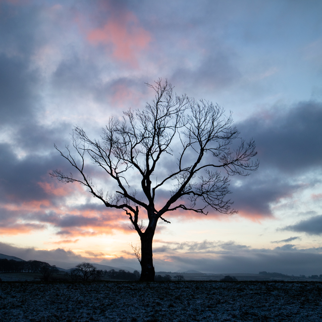
Sunrise
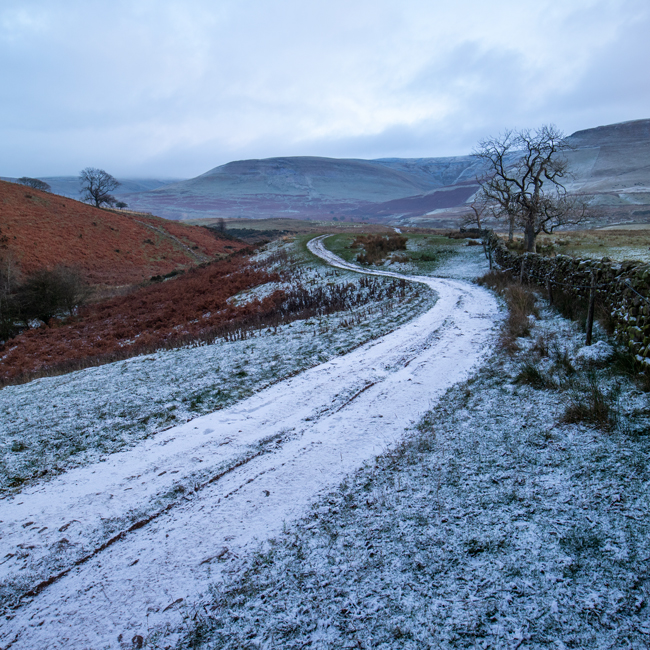
Heading out of Kirkland

Heading up

The sun breaks through
Looking back with the Eden Valley now far below

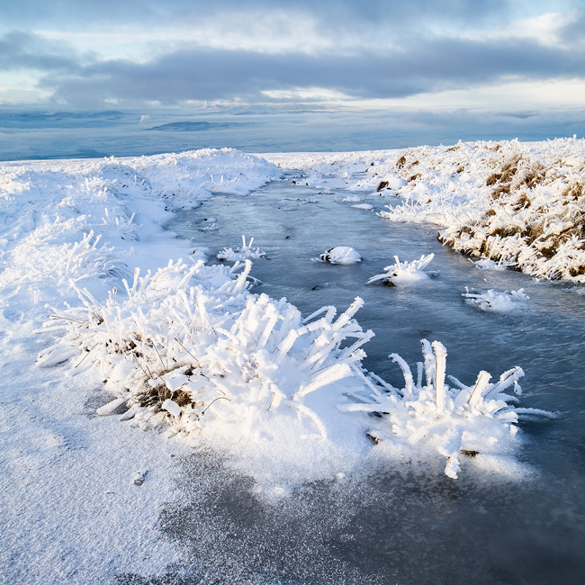
Icy in places!
The view to the north east. A right turn here takes you up to the summit

The same view from higher up as I reach the summit plateau
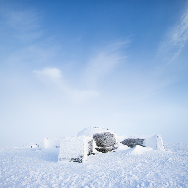
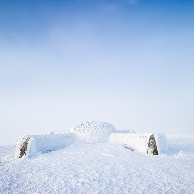
Cross Fell's summit shelter
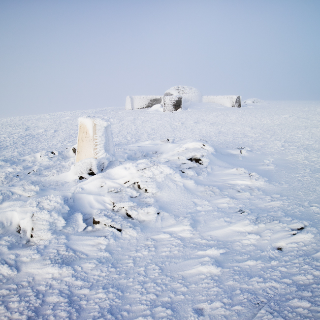
...and the trig point
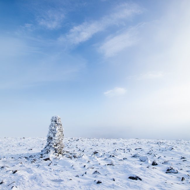
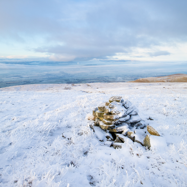
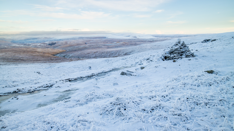
Currick on the summit plateau
The view east
Little Dun Fell is in the cloud
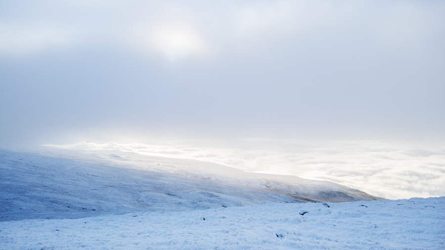
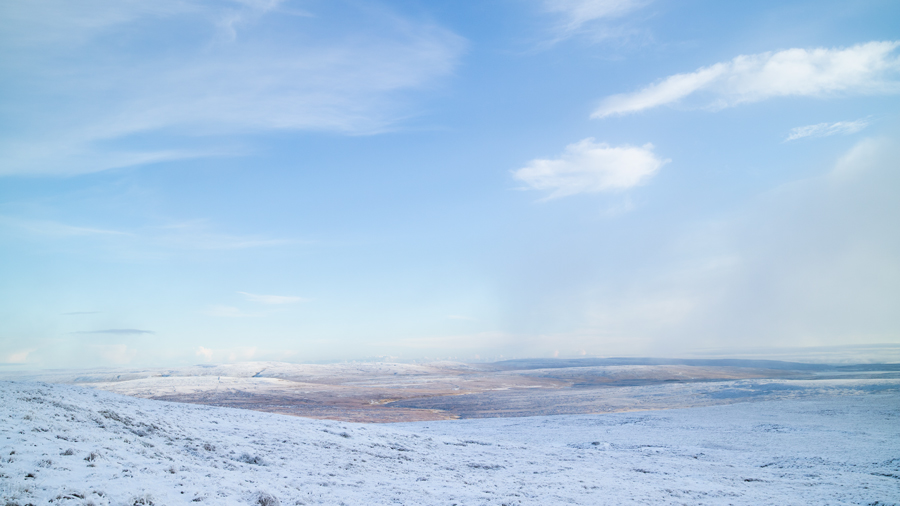
...and to the west there is a cloud inversion

The Eden Valley is somewhere below the cloud

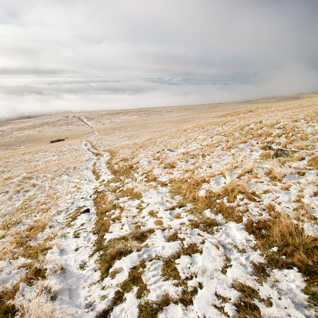
The way ahead. Still above the clouds on Kirkland Fell
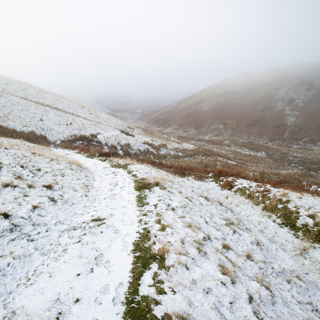
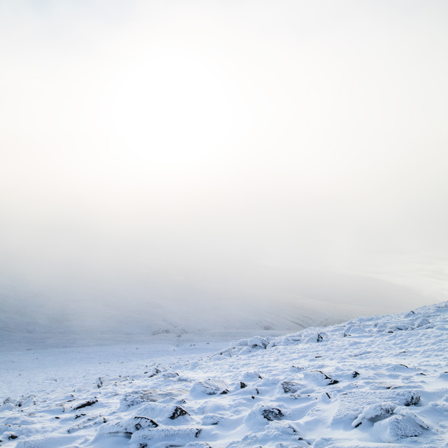
Littledale, in the cloud
Previous Walk: High Cup Nick (Wed 7 Dec 2022)
Next Walk: Castlerigg Stone Circle and High Rigg (Thu 15 Dec 2022)