Steel Fell and the Wythburn Valley
Sun 26 May 2013
Route: Steel End, Thirlmere - Steel Fell - Steel Fell Tarn - Calf Crag - Brownrigg Moss Tarn - The Bog - Wythburn Head Tarns - Wythburn Valley - Steel End
Distance: 5.75 miles
Ascent: 1,500ft
Time: 6 hours
With: Anne and Jill & Nigel Batchelor
Notes:
Lots of sunshine
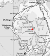
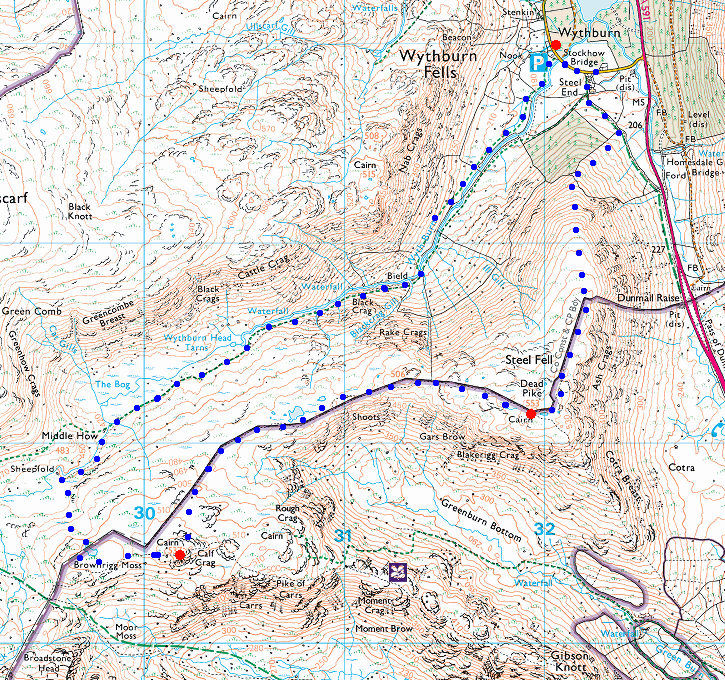
© Crown copyright. All rights reserved. Licence number AL100038401
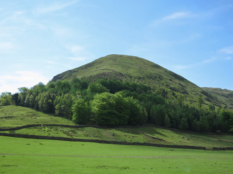
Steel Fell's north ridge
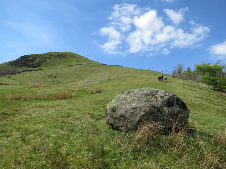
Heading up Steel Fell's north ridge
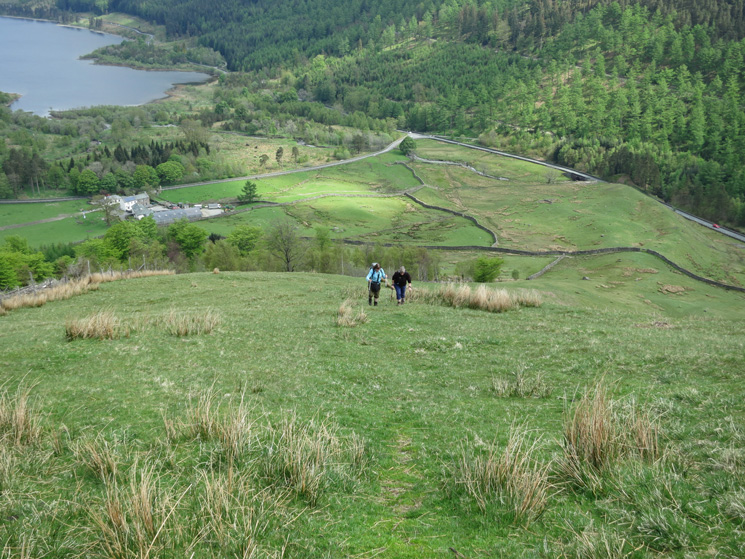
The only way is up
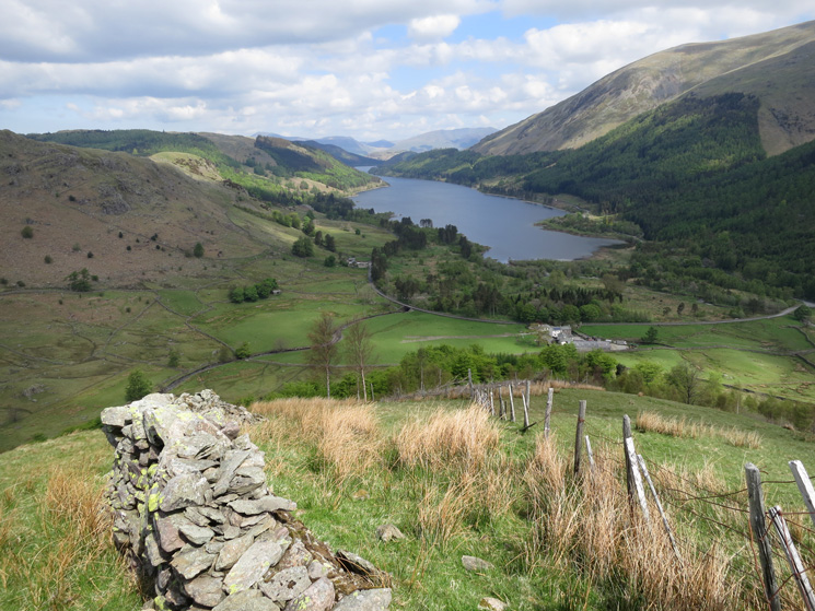
Thirlmere
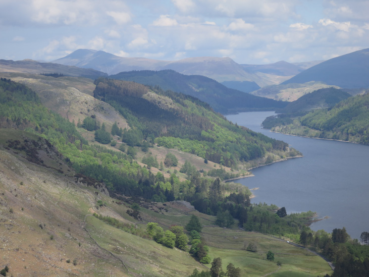
Zooming in with Skiddaw in the distance
Great views northwards from Steel Fell's north ridge
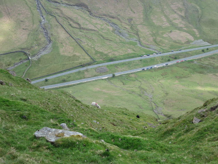
Dunmail Raise far below
Looking across to Seat Sandal
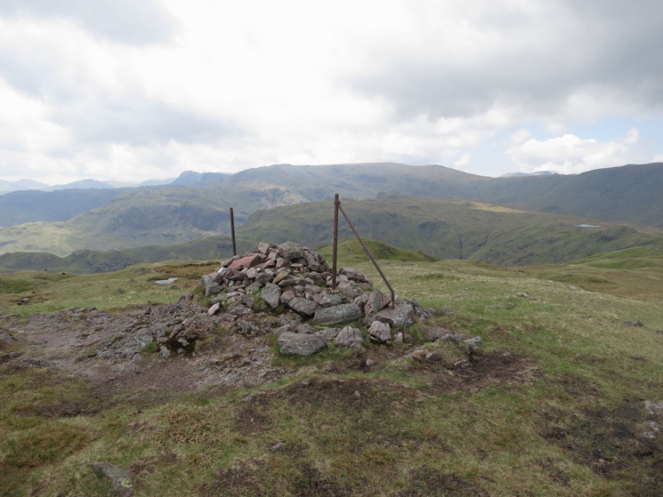
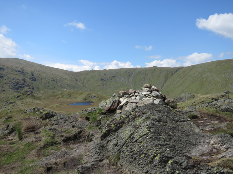
Steel Fell summit cairn, the cloud did not last too long and the blue skies returned
The Helvellyn ridge from Steel Fell Tarn
Looking back to Steel Fell
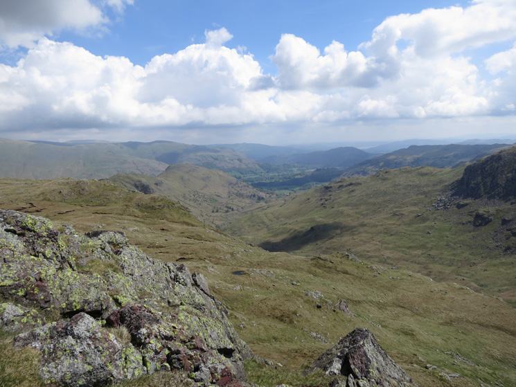
Looking down Easedale from Calf Crag
Greenup Edge and Brownrigg Moss from Calf Crag summit
Looking back to Calf Crag from Brownrigg Moss
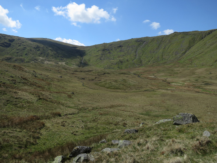
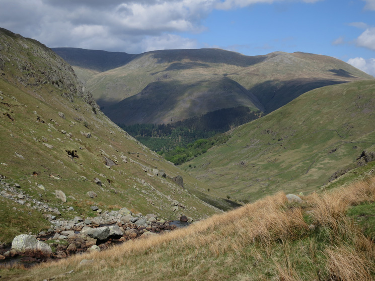
The head of Wythburn. The skyline is Greenup Edge
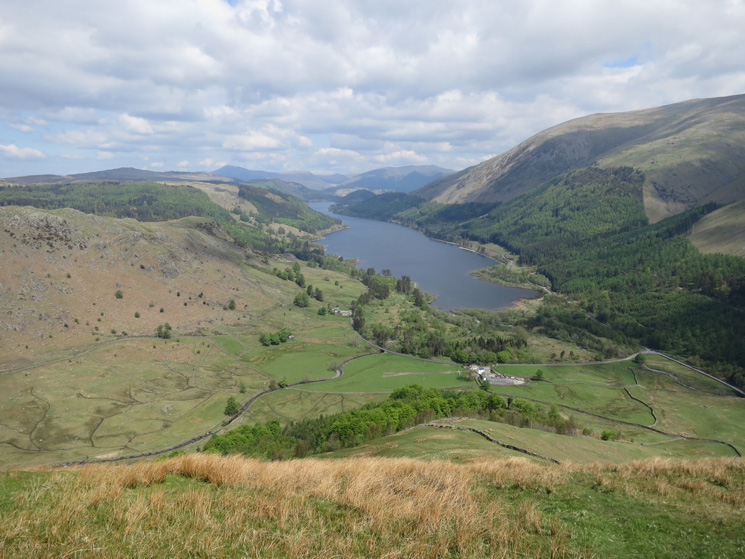
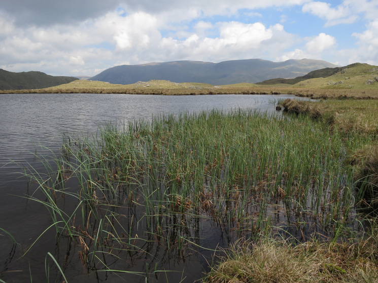
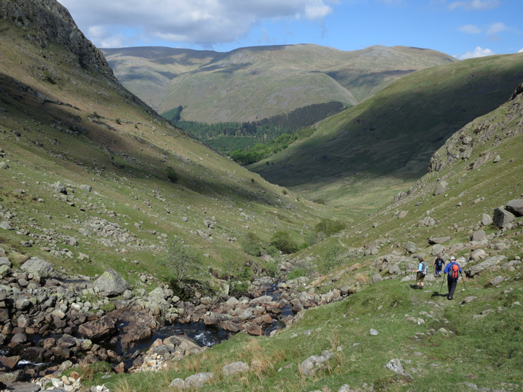
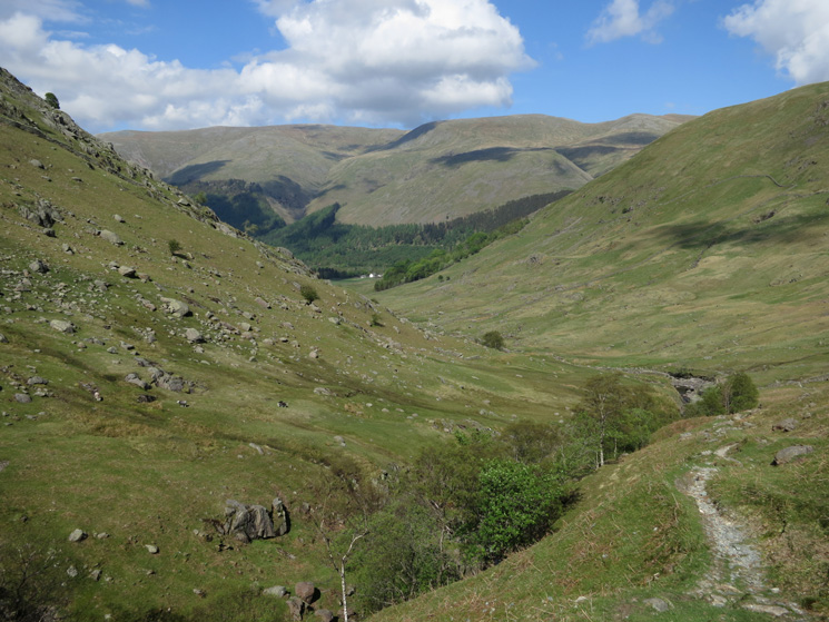
Wythburn with the Helvellyn ridge in shadow
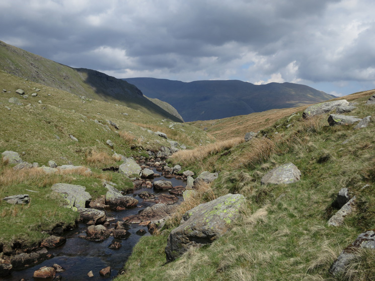
Approaching The Bog
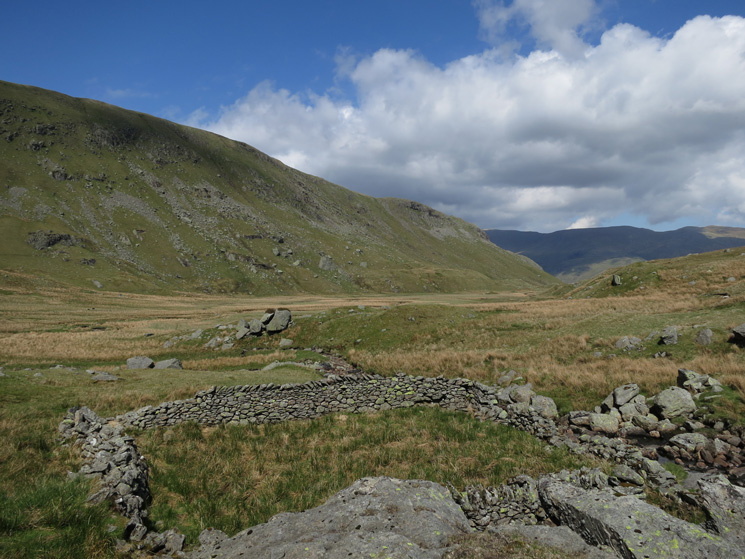
Sheepfold on the edge of The Bog
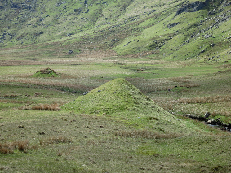
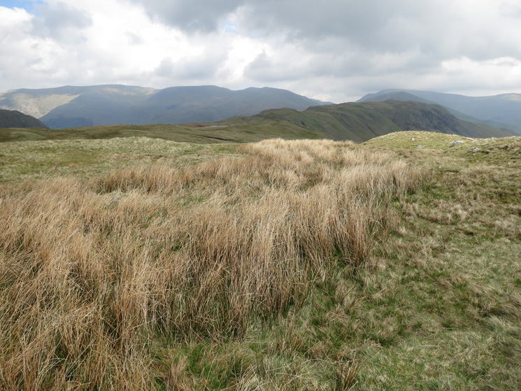
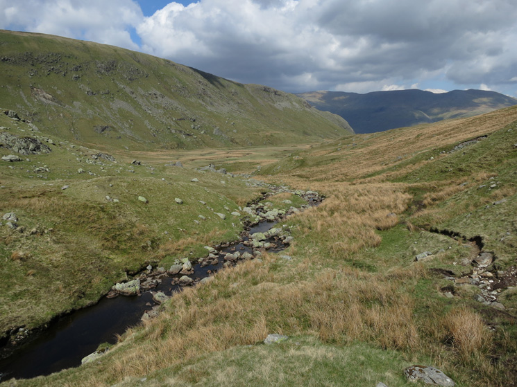
Drumlins, The Bog
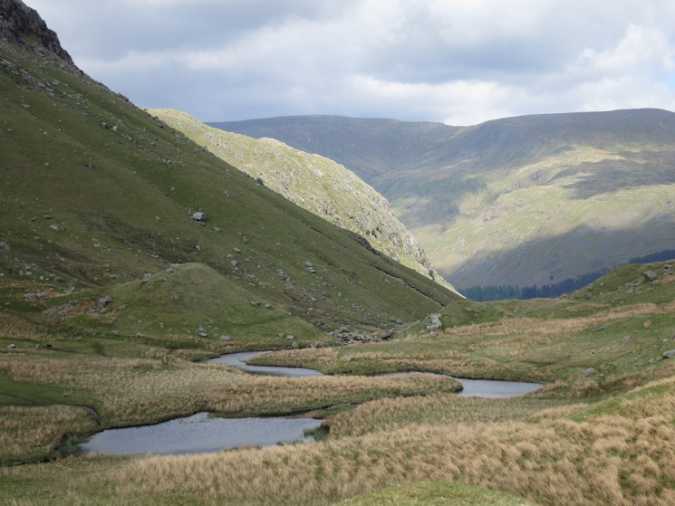
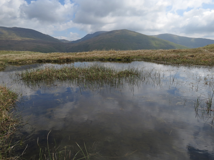
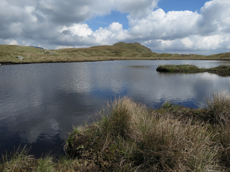
Wythburn Head Tarns
We had the place to ourselves
Descending...
The Helvellyn ridge is back in the sun
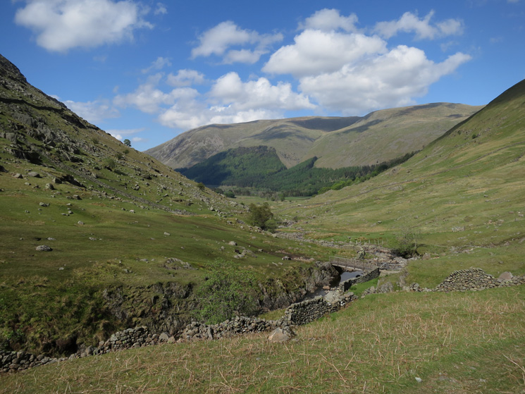
We crossed the bridge
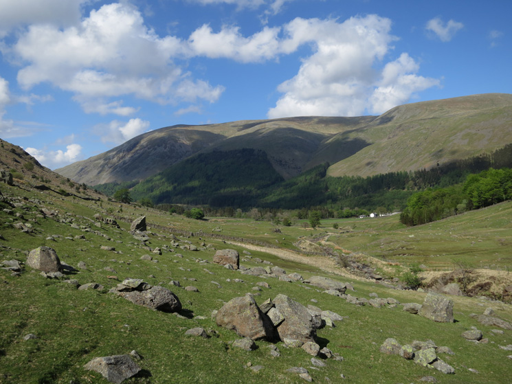
Nearly back at the car
Previous Walk: High Pike (Sat 25 May 2013)
Next Walk: Place Fell (Sat 8 Jun 2013)