Mungrisdale Circuit
Sun 3 Mar 2013
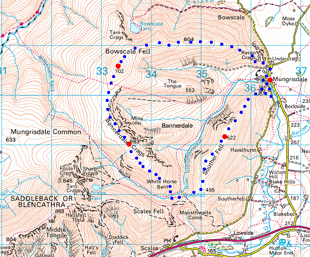
Route: Mungrisdale - east ridge - Bowscale Fell - Bannerdale Crags - White Horse Bent - Souther Fell - Mungrisdale
Distance: 7.75 miles
Ascent: 2,150ft
Time: 4 hours 30 minutes
With: Anne and David & Jennifer Hall
Notes:
A delayed start in the hope that the forecast was right and it would be brighter, it wasn't!

© Crown copyright. All rights reserved. Licence number AL100038401
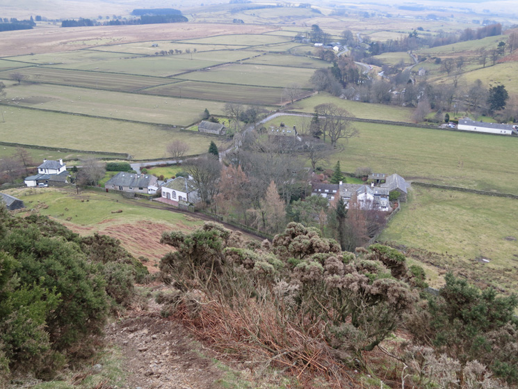
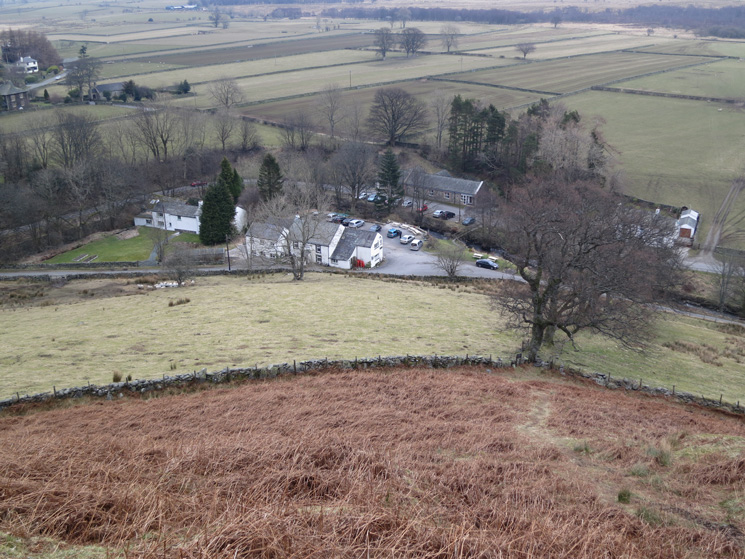
Looking back down on part of Mungrisdale as we head up onto the east ridge
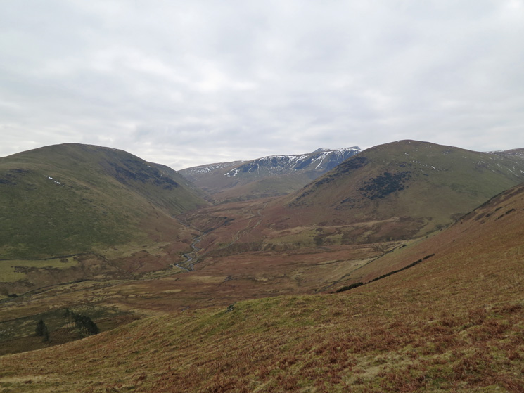
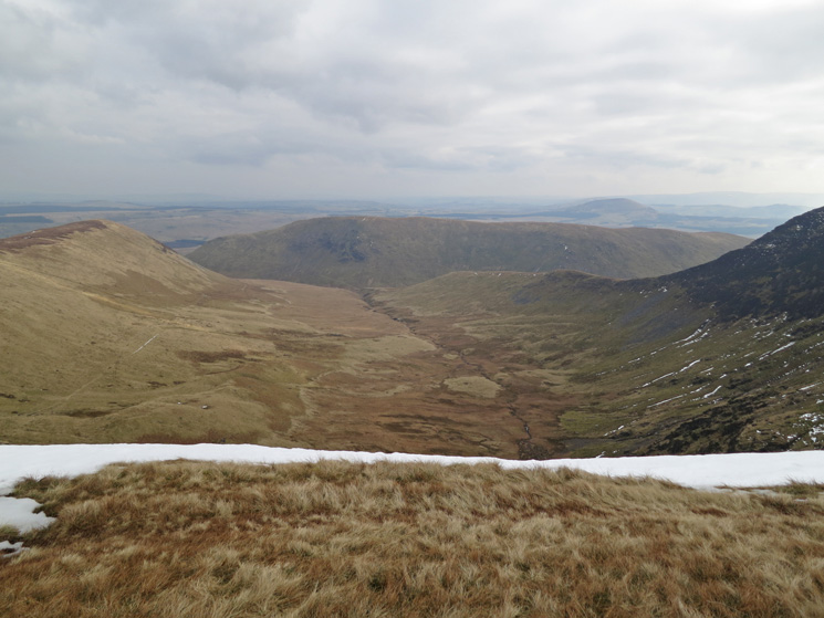
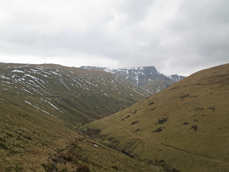
Valley of the River Glendermackin, Souther Fell left, Blencathra and Bannerdale Crags centre and The Tongue right
Ascending Bowscale Fell's east ridge
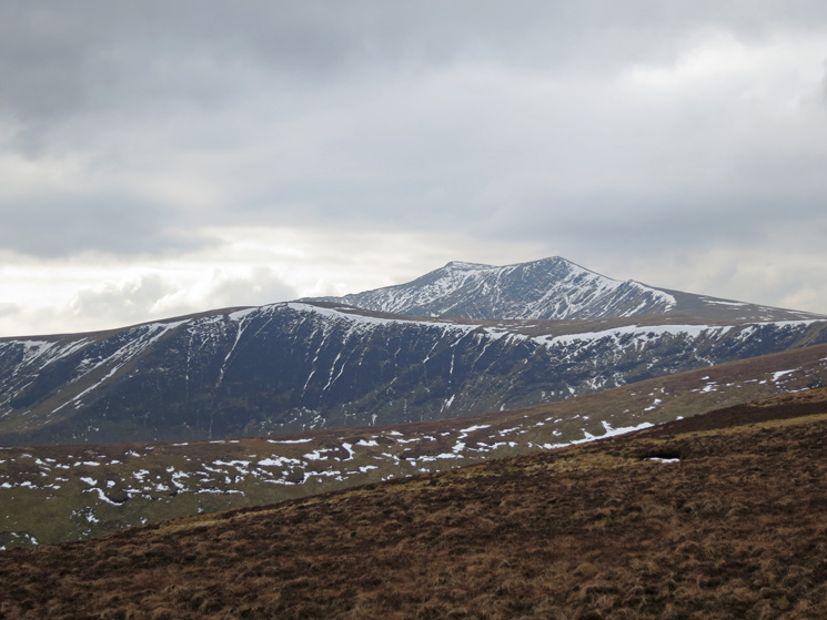
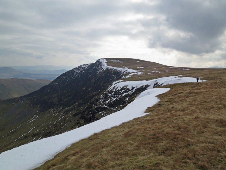
Bannerdale Crags with Blencathra behind
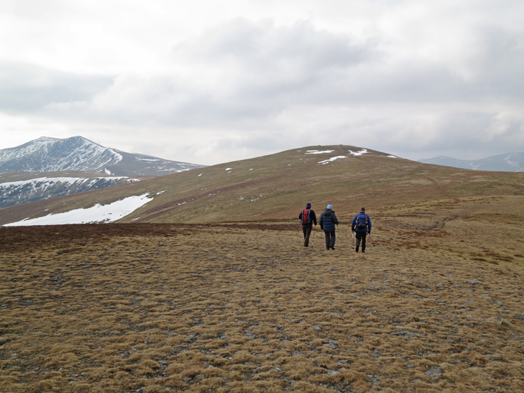
Heading for Bowscale Fell's summit
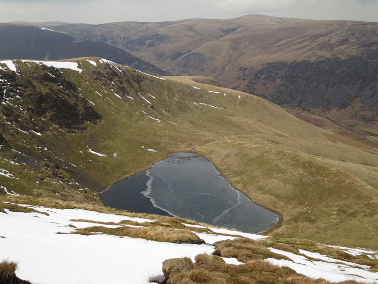
Bowscale Tarn below
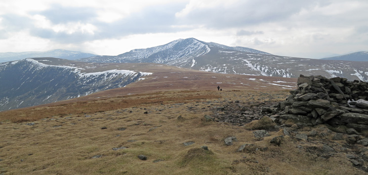
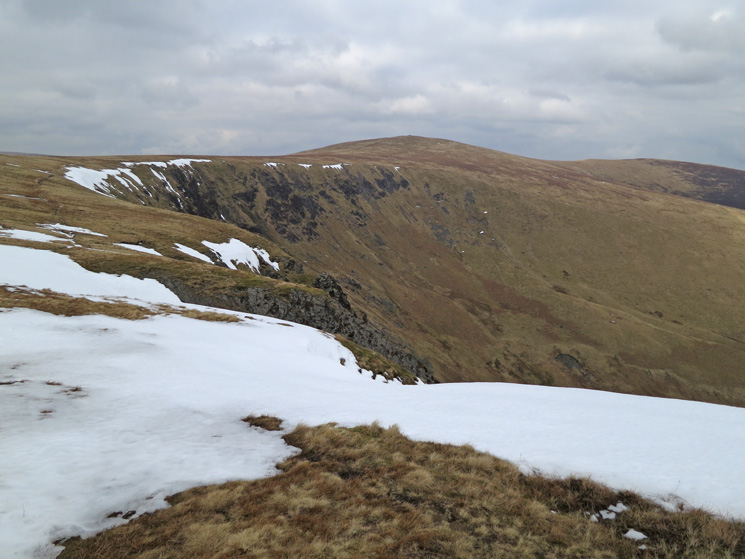
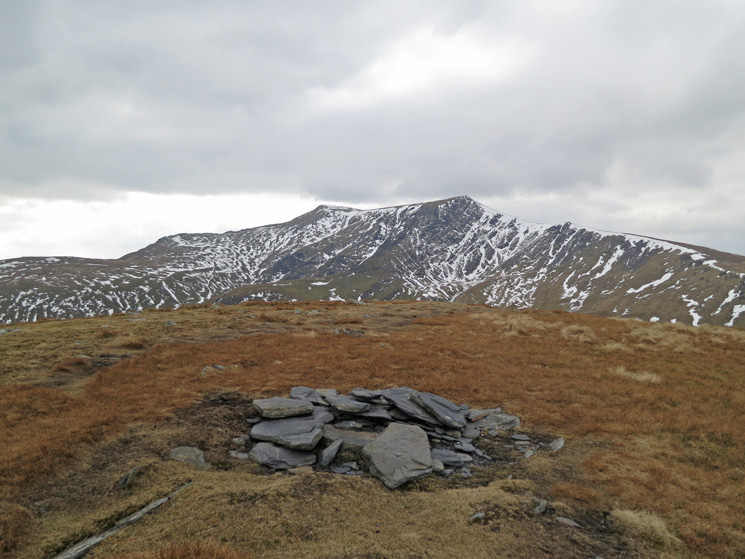
Bannerdale Crags and Blencathra from Bowscale Fell's summit
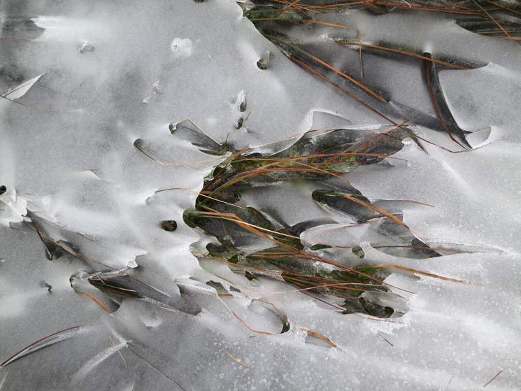
Grasses and snow
Bannerdale
Heading for Bannerdale Crags
Looking back to Bowscale Fell
Blencathra from Bannerdale Crags summit cairn
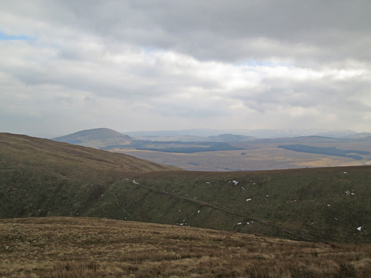
Great Mell Fell from White Horse Bent
Blencathra
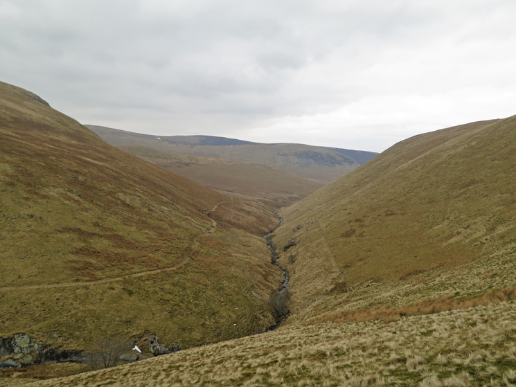
Valley of the River Glendermackin, someone had the bright idea of planning trees and fencing it off
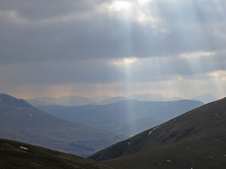
The view south and sunbeams
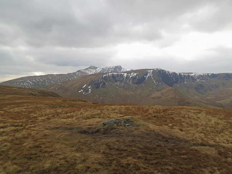
Blencathra and Bannerdale Crags from Souther Fell's summit
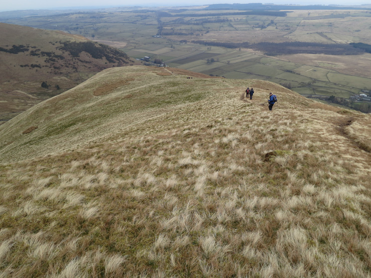
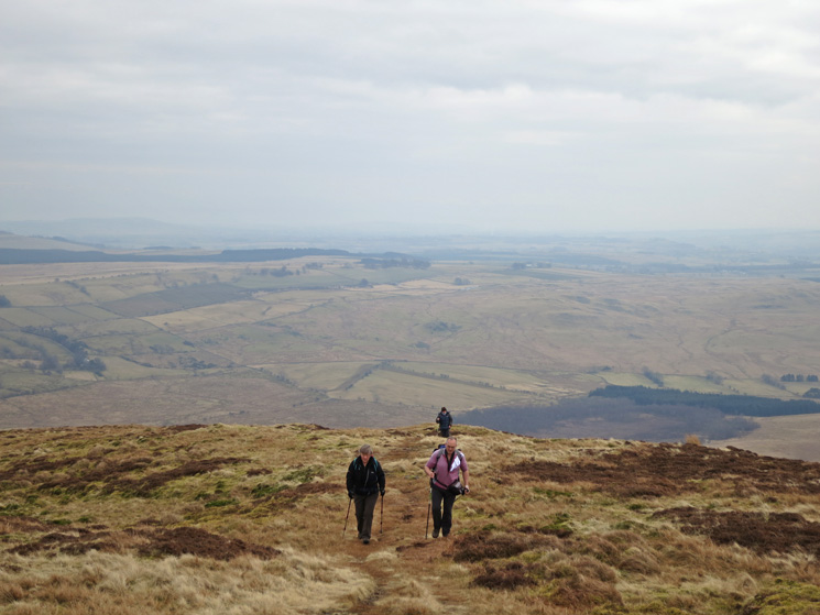
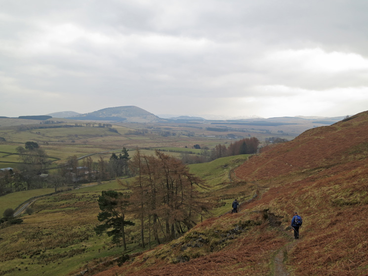
Heading back to Mungrisdale
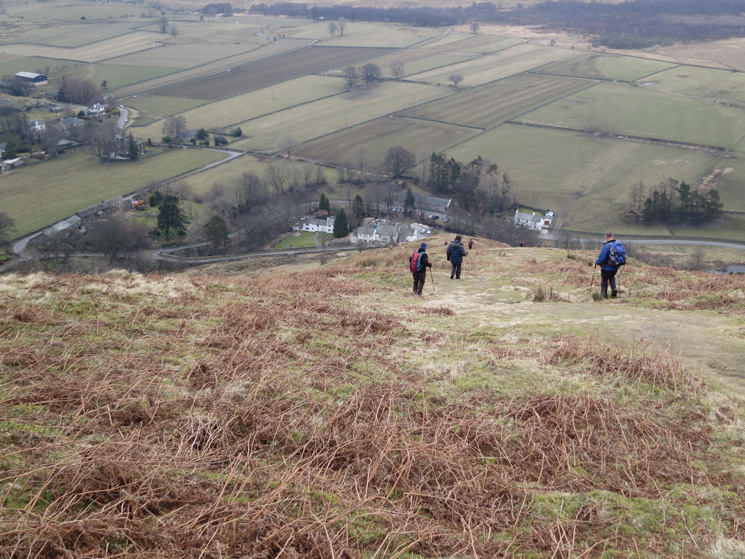
Descending
So near yet so far. You can't cross this field...
...so turn right and keep above the intake wall until you reach the road
Previous Walk: The Greenburn Round (Sat 2 Feb 2013)
Next Walk: Circuit of Buttermere (Sun 17 Mar 2013)