Four Stones Hill and Haweswater
Sun 24 Aug 2008
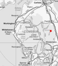
Route: Burnbanks - Pinnacle Howe - Four Stones Hill - standing stones - Measand Beck - Haweswater shore path - Burnbanks
Distance: 4.50 miles
Ascent: 750ft
Time: 2 hours 10 minutes
With: Anne
Notes:
Sunny with scattered/broken cloud
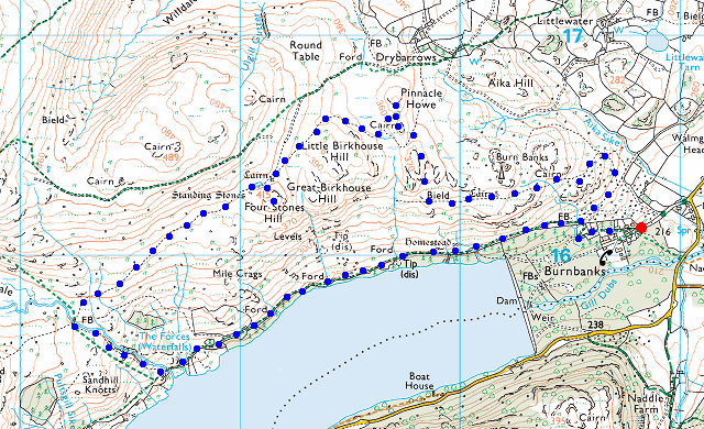
© Crown copyright. All rights reserved. Licence number AL100038401
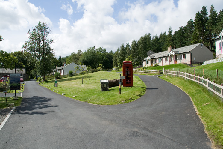
Burnbanks - 'rebirth of a model village'
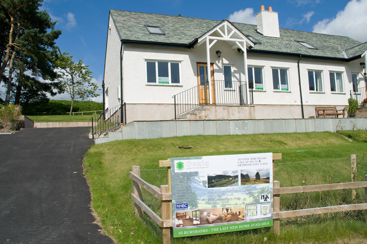
Plot 65 Burnbanks - the last new home available
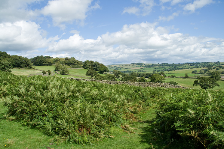
Looking east from above Burnbanks, the south east end of Knipescar Common in the distance
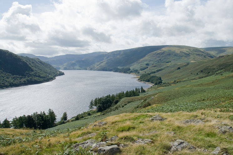
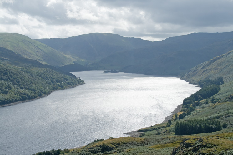
Haweswater
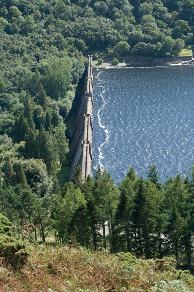
Haweswater dam
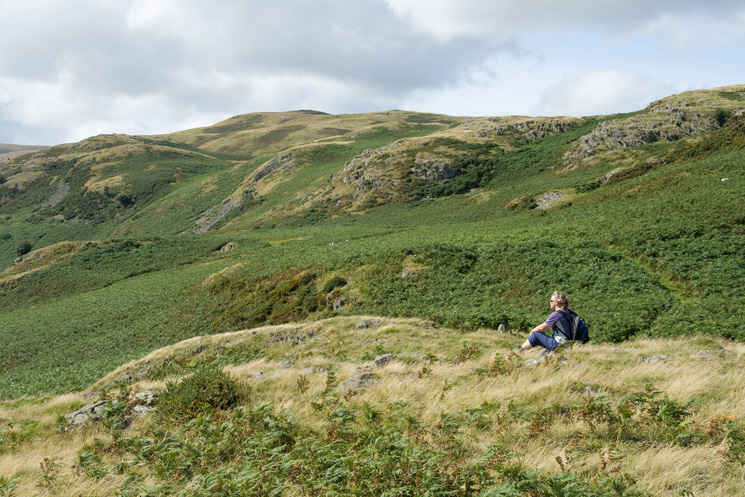
Enjoying the view...
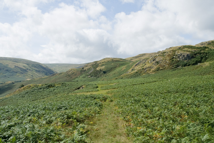
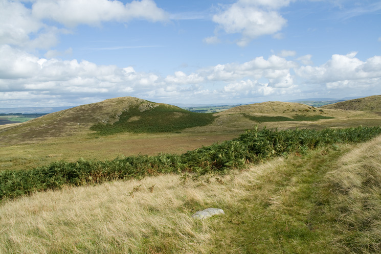
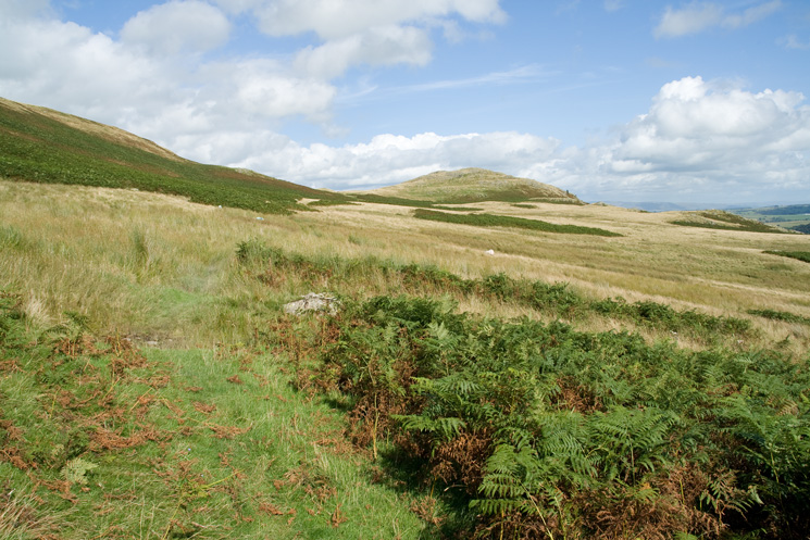
Looking towards Four Stones Hill
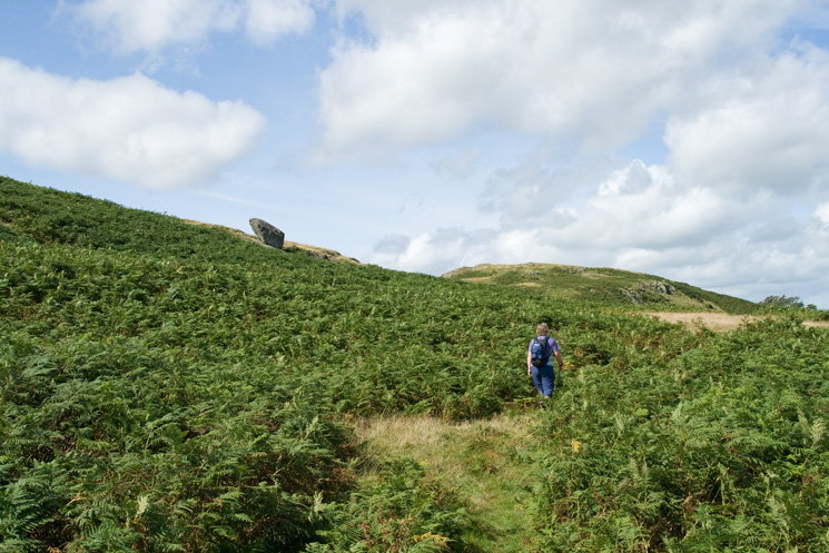
Passing the perched boulder
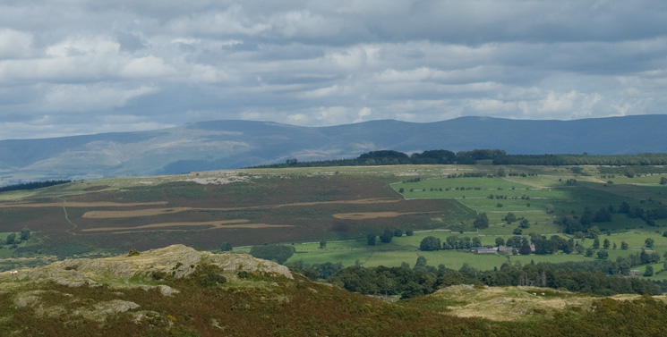
Looking over Knipescar Common to the North Pennines (Cross Fell, Little Dun Fell and Great Dun Fell)
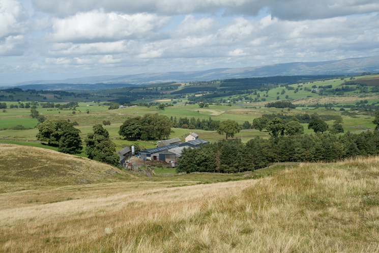
Drybarrows from the summit of Pinnacle Howe
Pinnacle Howe
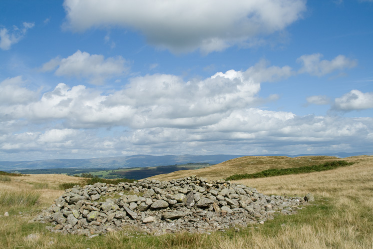
Prehistoric round cairn next to Four Stones Hill
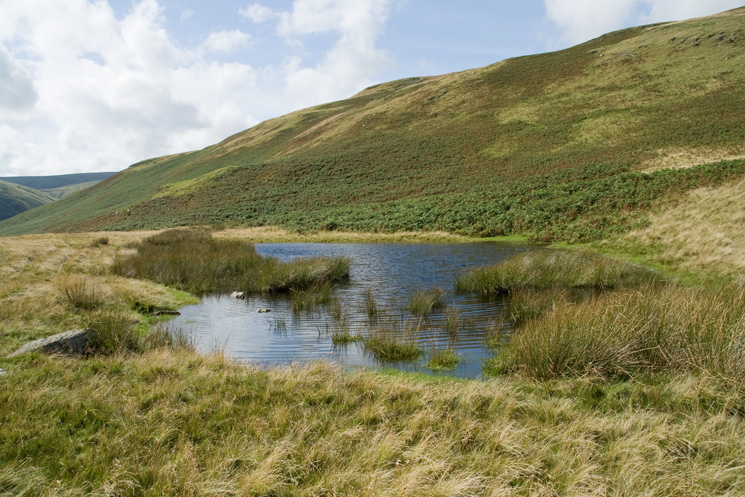
Four Stones Tarn
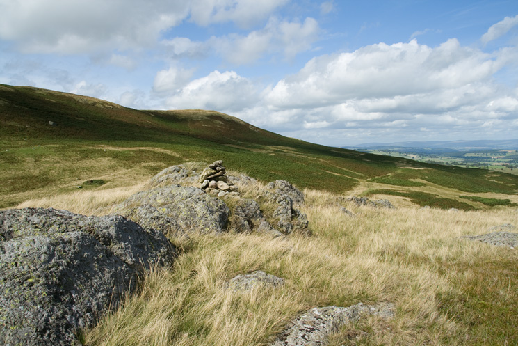
Someones built a cairn on the summit of Four Stones Hill
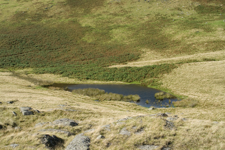
Four Stones Tarn from Four Stones Hill's summit
Looking up Haweswater from the summit of Four Stones Hill
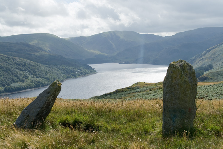
Haweswater and Mardale Head from the standing stones
Looking back to Four Stones Hill
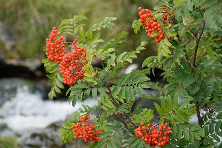
Mountain Ash next to Measand Beck
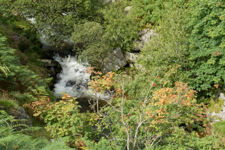
Measand Beck above the main falls
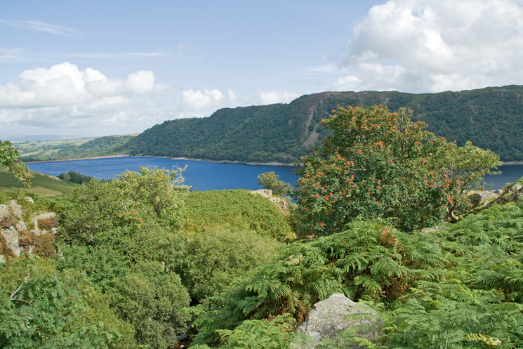
Haweswater from next to Measand Beck
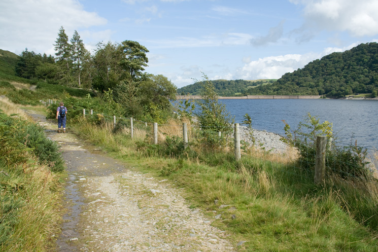
Heading back to Burnbanks
Previous Walk: Blencathra (Sat 23 Aug 2008)
Next Walk: Place Fell (Sun 31 Aug 2008)