Souther Fell
Sun 30 Mar 2008
Route: Mungrisdale - Souther Fell - River Glenderamackin - Mungrisdale
Distance: 5.00 miles
Ascent: 1,000ft
Time: 2 hours 15 minutes
With: Anne
Notes:
An afternoon walk with blue sky, scattered clouds and sunshine
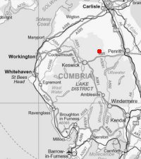
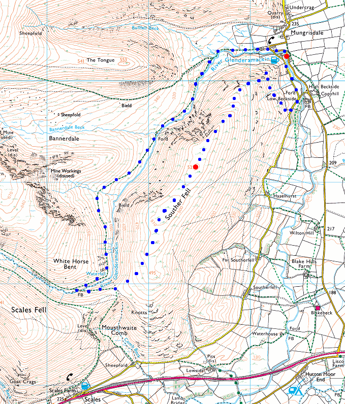
© Crown copyright. All rights reserved. Licence number AL100038401
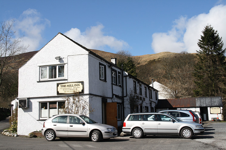
The Mill Inn, Mungrisdale
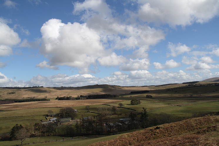
Looking east to Eycott Hill
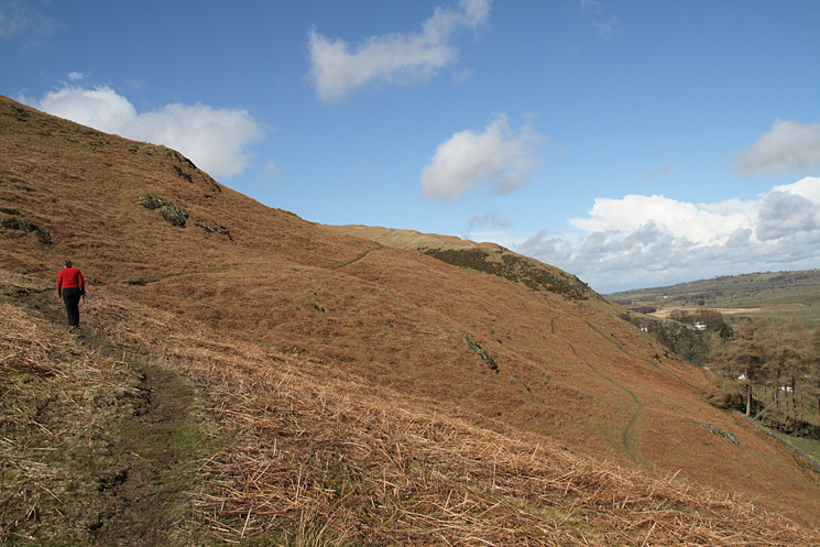
Heading across to Souther Fell's north east ridge
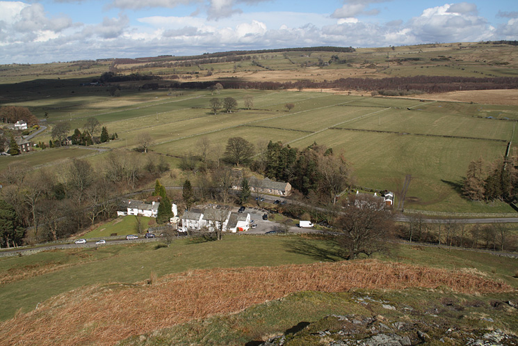
Looking down on Mungrisdale from Souther Fell's north east ridge
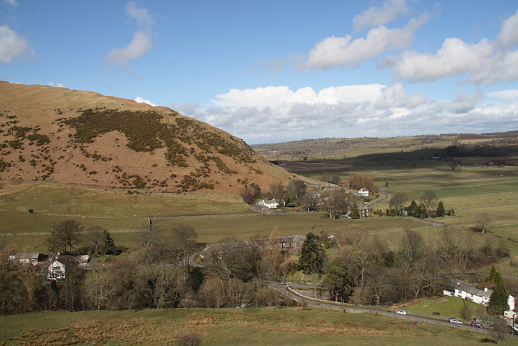
Mungrisdale and the end of Bowscale Fell's east ridge
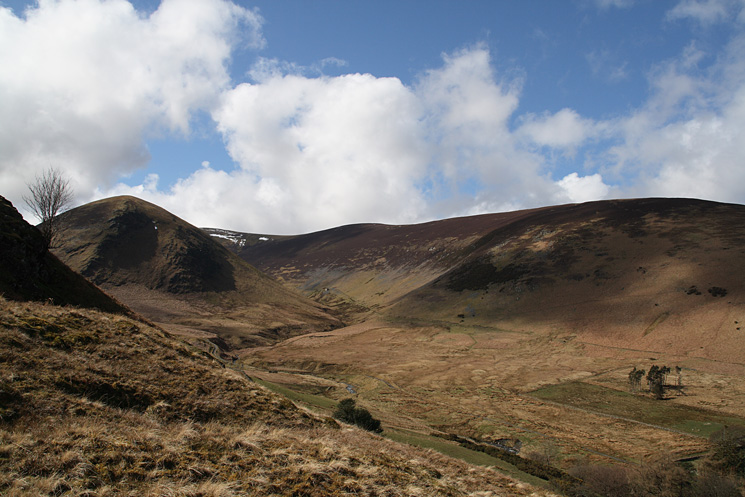
The Tongue and Bowscale Fell's east ridge with the valley of Bullfell Beck in between
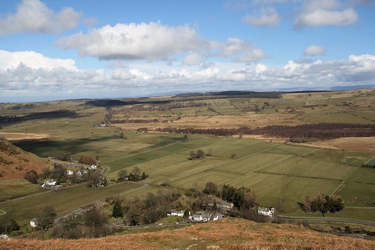
Mungrisdale below from Souther Fell's northeast ridge
The Tongue with a touch of snow on Bowscale Fell's summit (behind left)
Looking back down the top part of Souther Fell's northeast ridge
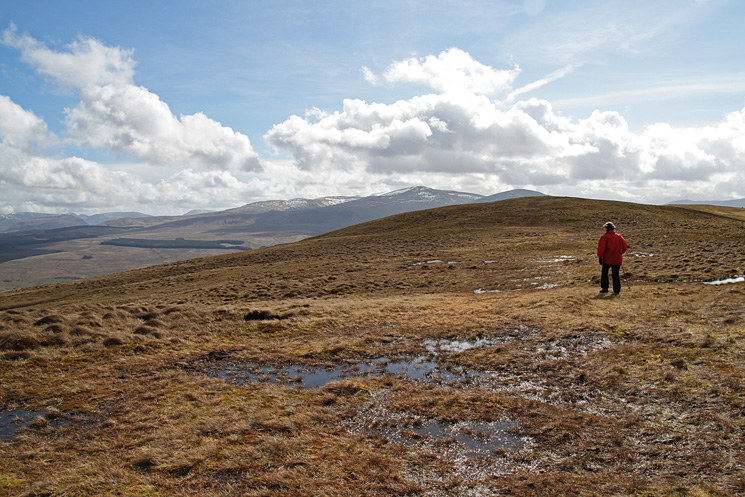
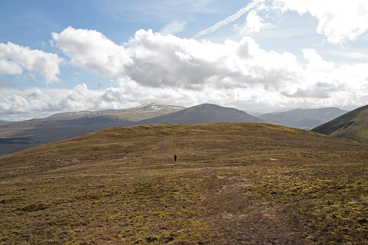
Heading for Souther Fell's summit with the Dodds in the distance
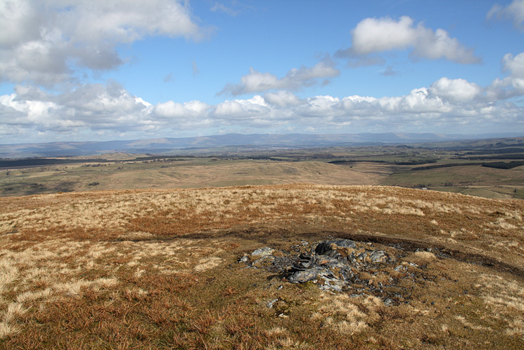
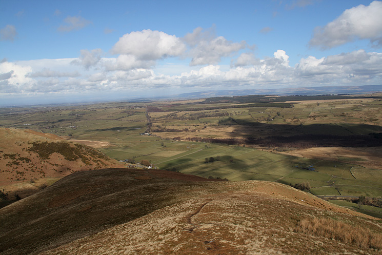
The North Pennines from Souther Fell's summit
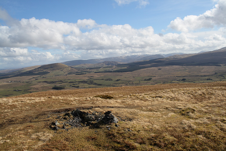
Great Mell Fell and the north end of the High Street ridge from Souther Fell's summit
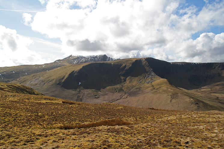
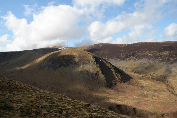
Bannerdale Crags with Blencathra behind
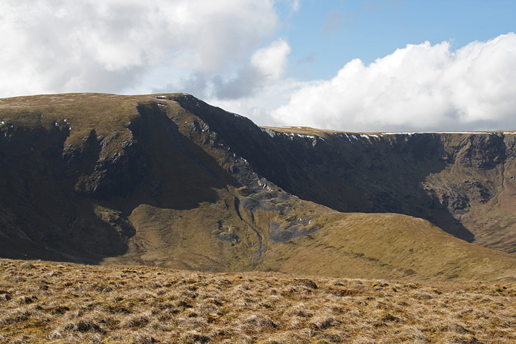
Bannerdale Crag's east ridge
Leaving Souther Fell's summit, Clough Head in shadow and Great Dodd in sun
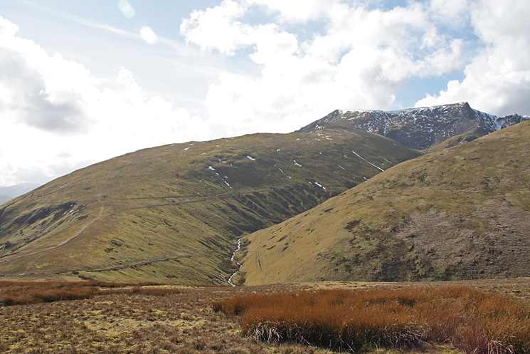
Scale Fell onto Blencathra as we head for Mousthwaite col
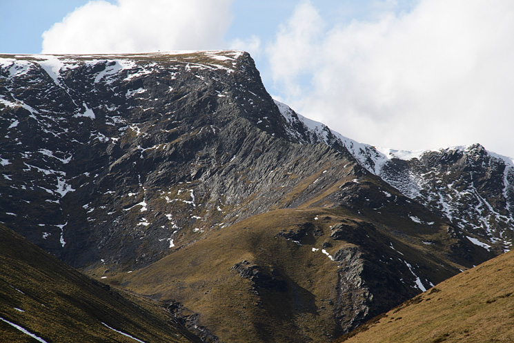
Zooming in on Sharp Edge and Foule Crag
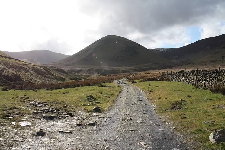
River Glenderamackin from Mousthwaite col, we followed the track down the valley
The infant River Glenderamackin and Souther Fell from the footbridge.
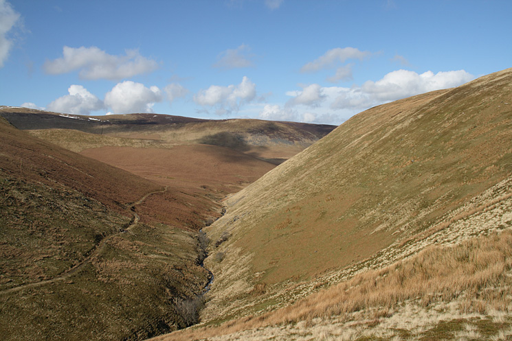
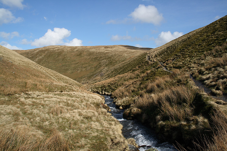
Looking down the valley of the infant River Glenderamackin with the slopes of Souther Fell on the right
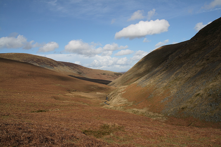
Heading down the valley of the infant River Glenderamackin
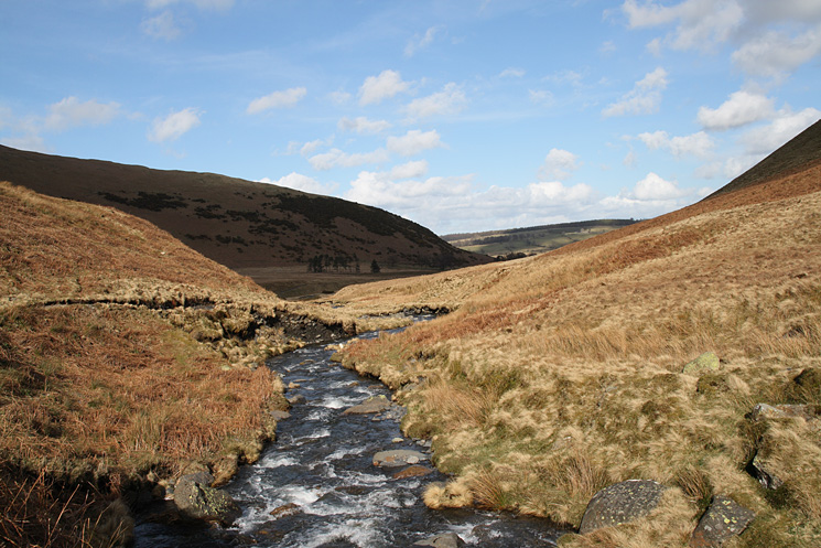
River Glenderamackin
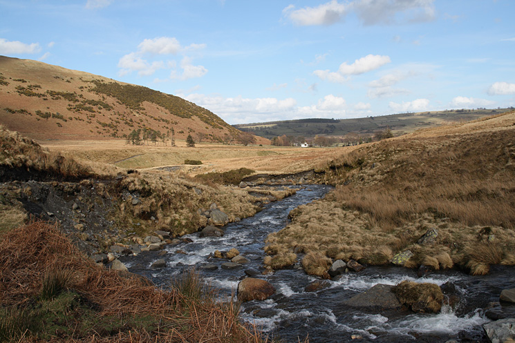
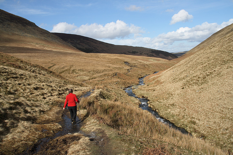
River Glenderamackin as we head for Mungrisdale
The Tongue from the edge of Mungrisdale
Previous Walk: Helvellyn and the Dodds (Mon 24 Mar 2008)