Steeple to Caw Fell from Ennerdale
Tue 19 Feb 2008
Route: Bowness car park, Ennerdale - Ennerdale Water - Lingmell - Steeple - Little Scoat Fell - Haycock - Little Gowder Crag - Caw Fell - Ennerdale Water - Bowness car park
Distance: 11.00 miles
Ascent: 3,050ft
Time: 6 hours 15 minutes
With: David Hall
Notes:
Blue sky and sunshine, cold in the breeze on the summits
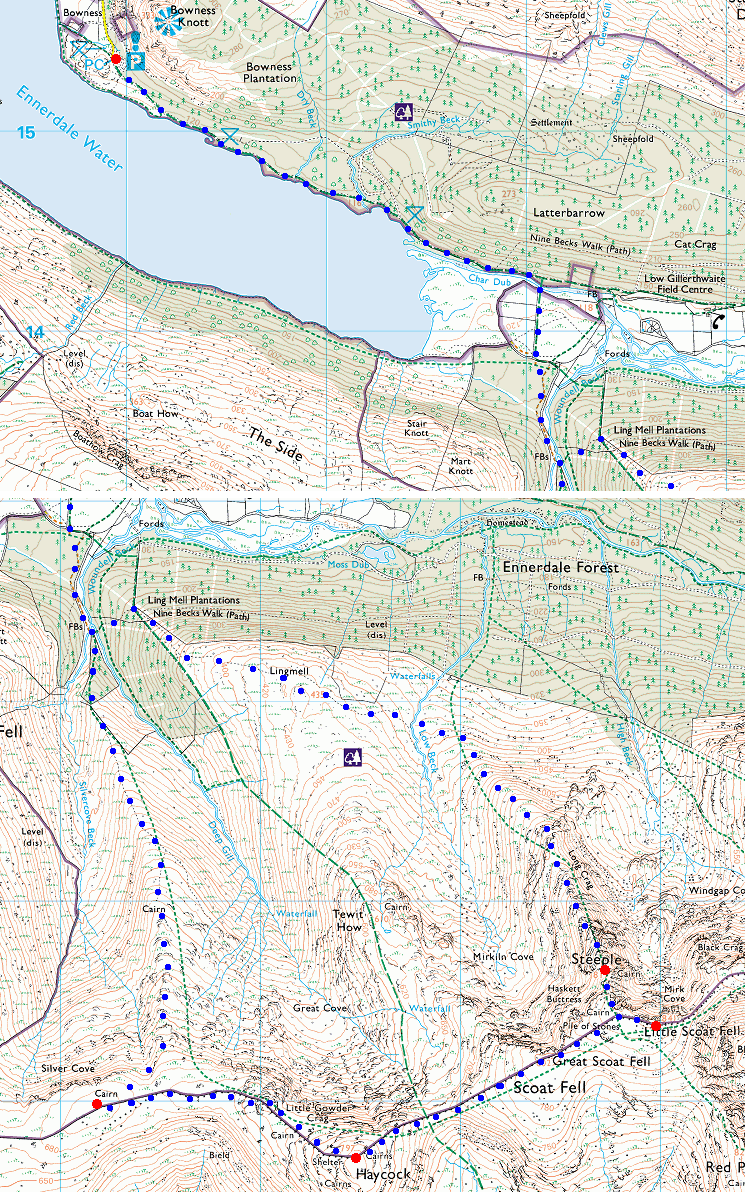
© Crown copyright. All rights reserved. Licence number AL100038401
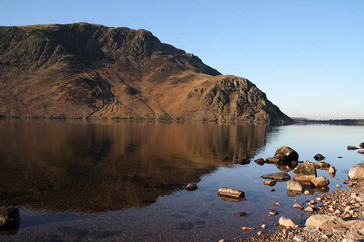
Looking across Ennerdale Water to Crag Fell
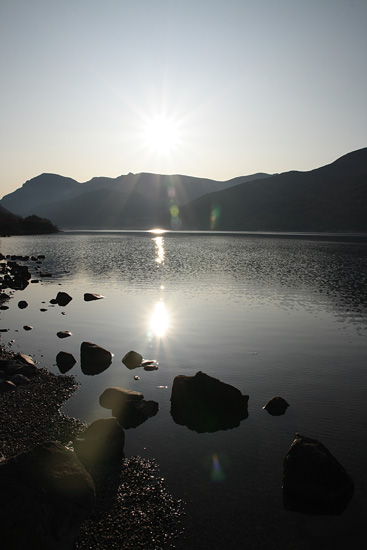
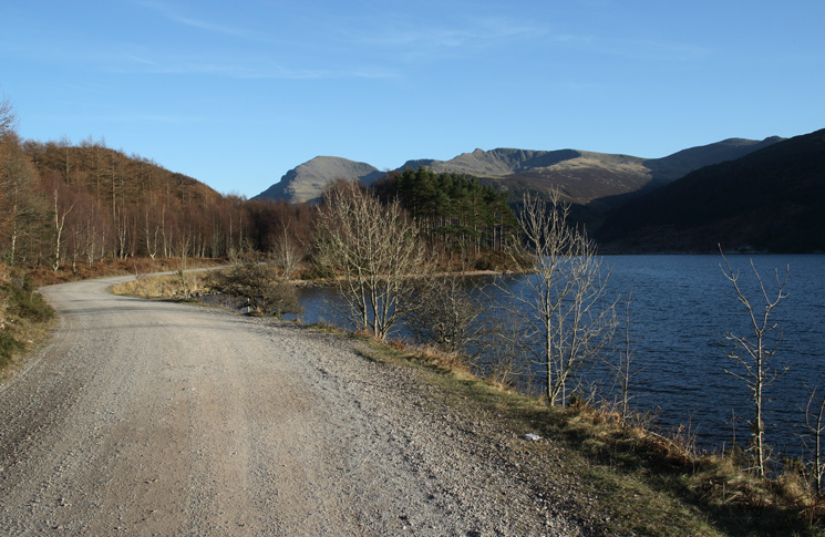
Looking up Ennerdale Water to Pillar (left) and the small pointed top of Steeple
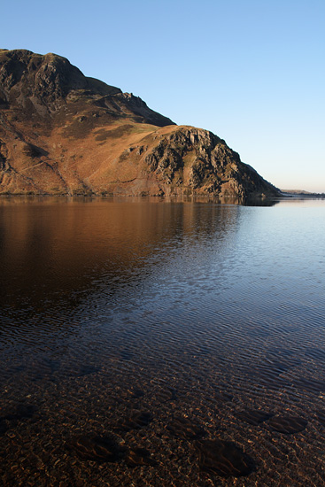
Anglers Crag
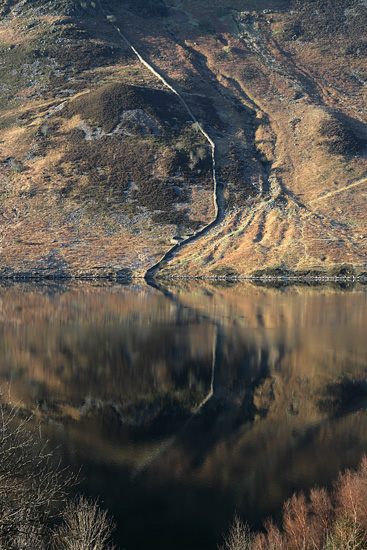
The wall coming down Crag Fell reflecting in Ennerdale Water
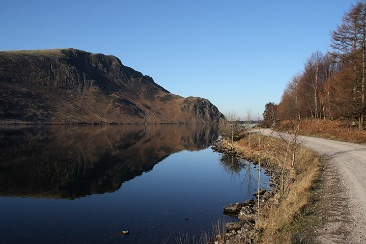
Looking back to Crag Fell as we head up Ennerdale
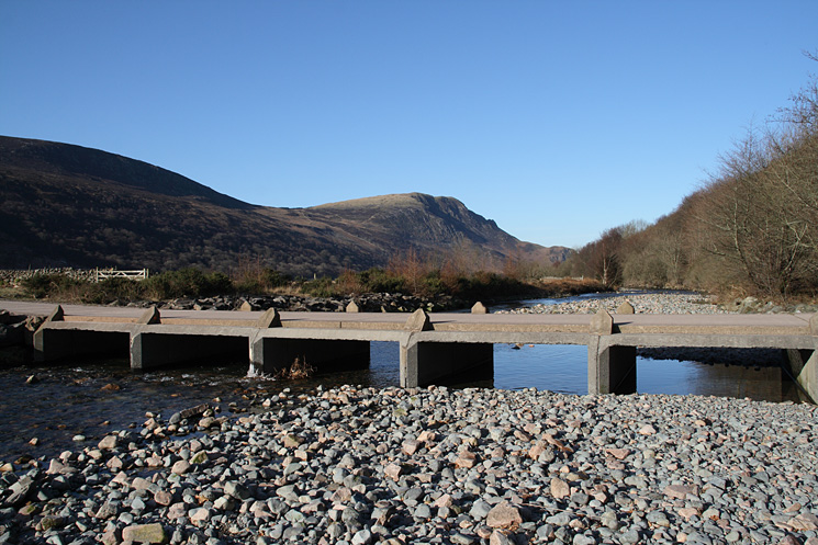
Irish Bridge, across the River Liza
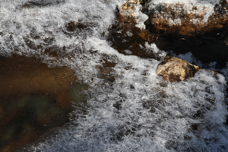
Ice crystals in Woundell Beck
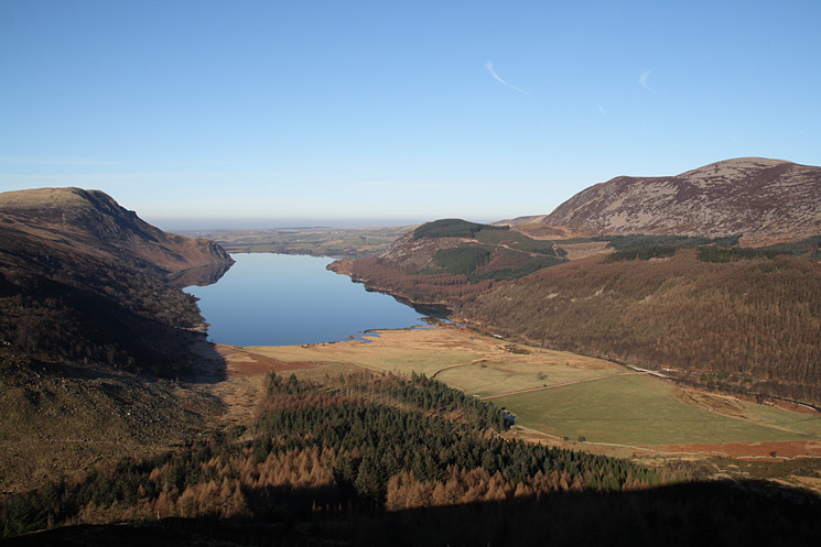
Ennerdale Water as we ascend Lingmell
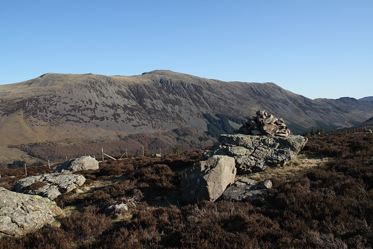
Red Pike, High Stile and High Crag with Haystacks on the far right from Lingmell
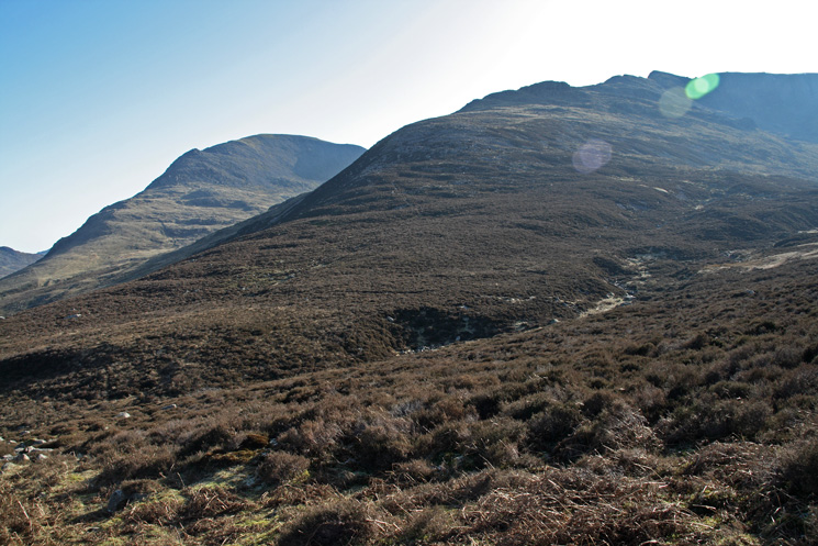
The ridge up Steeple with Pillar behind from Lingmell
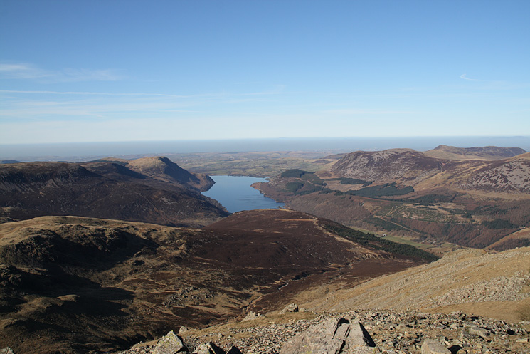
Looking over Lingmell to Ennerdale Water from Steeple's north ridge
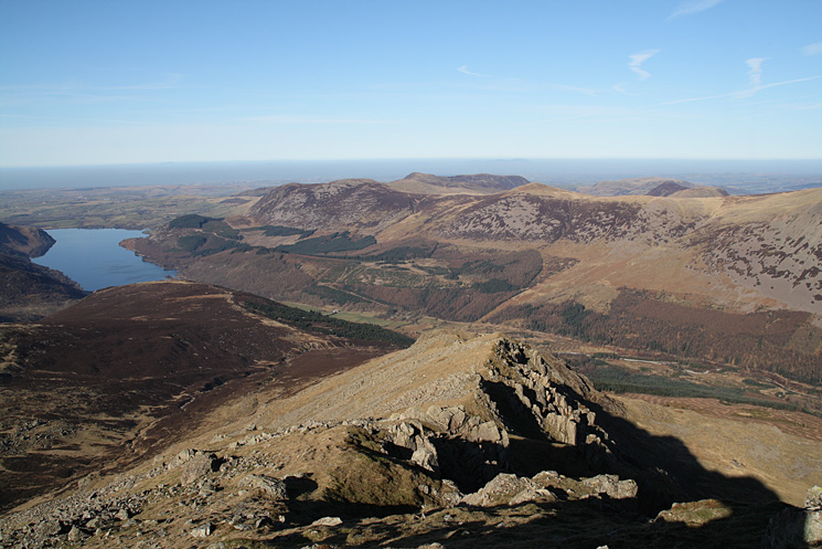
High up on Steeple's north ridge
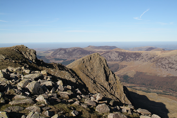
Steeple from Scoat Fell
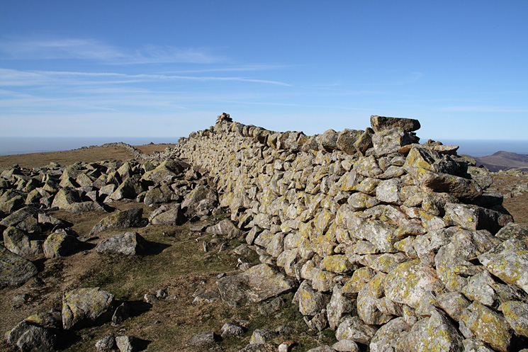
Scoat Fell's summit. The summit cairn is actually on the wall!
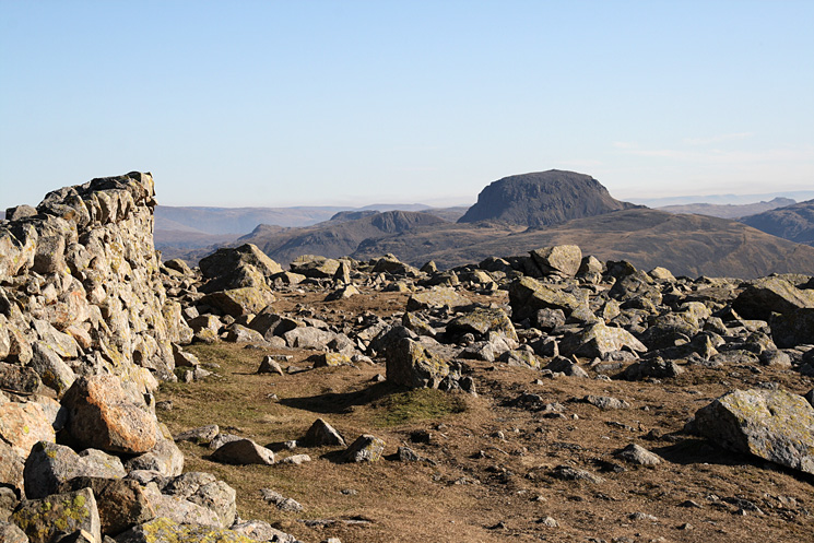
Great Gable from Scoat Fell's summit
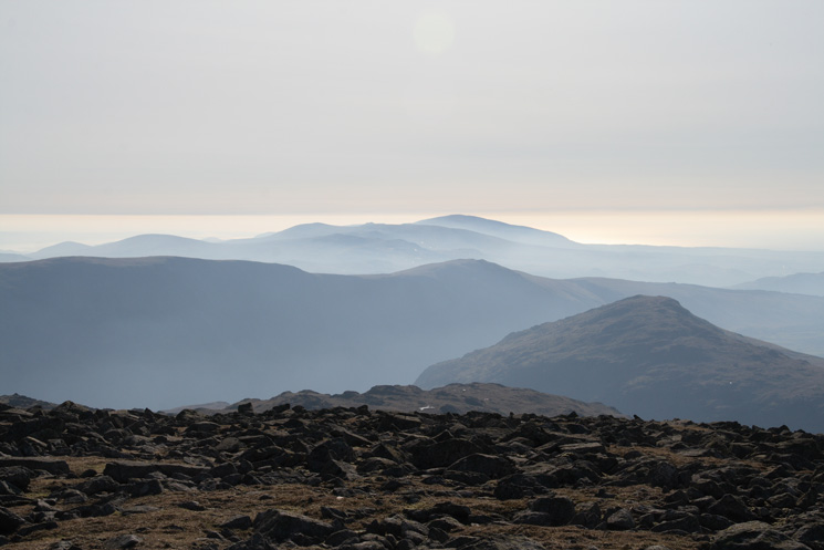
The view south from Scoat Fell's summit, not a bad lunch spot!
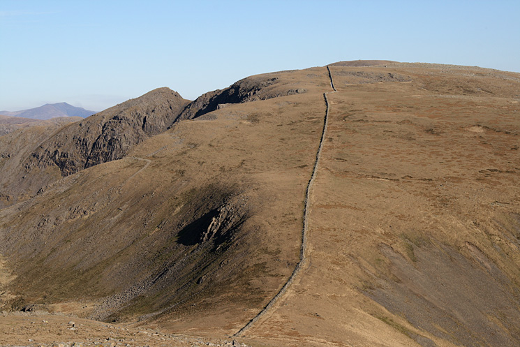
Looking back to Scoat Fell with Steeple on the left from Haycock
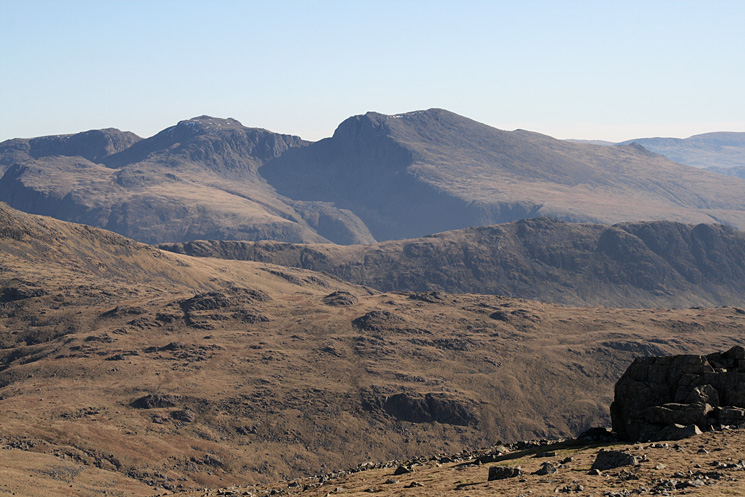
The Scafells from Haycock's summit

Skiddaw and Blencathra in the far distance seen over the High Stile ridge with Steeple's north ridge in front and Scoat Fell on the right from Haycock
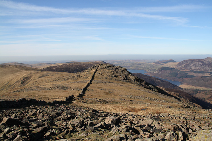
Just follow the wall to Little Gowder Crag
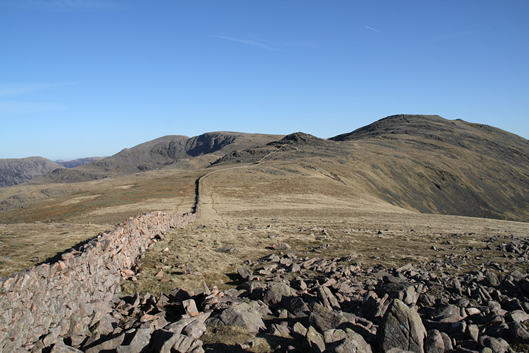
Looking back to Little Gowder Crag and Haycock from Caw Fell
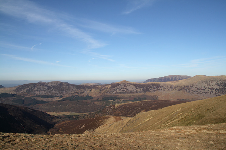
We descended the near ridge back into Ennerdale
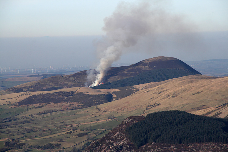
Fire on Knock Murton
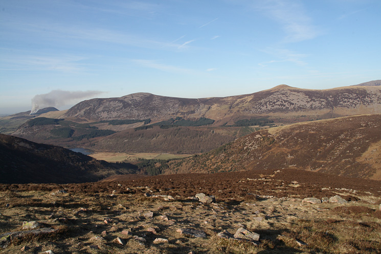
Great Borne and Starling Dodd on the other side of Ennerdale from our descent ridge
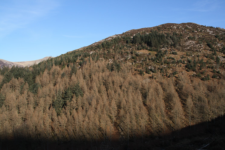
Lingmell, our ascent route at the start of the day had been up the skyline, no wonder it felt hard work
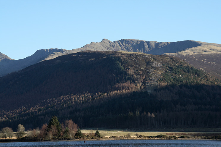
Lingmell with Steeple and Scoat Fell above
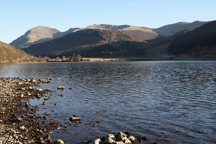
Pillar, Steeple, Scoat Fell and Haycock seen across Ennerdale Water
Pillar, Steeple, Scoat Fell and Haycock from Ennerdale
Previous Walk: High Street from Mardale Head (Sun 17 Feb 2008)
Next Walk: Latrigg (Sat 1 Mar 2008)
