Esk Pike from Langdale
Sun 10 Feb 2008
Route: Old Dungeon Ghyll Hotel, Great Langdale - Mickleden - Rossett Gill - Rossett Pike - Angle Tarn - Esk Hause - Esk Pike - Ore Gap - Bowfell - Three Tarns - The Band - Stool End Farm - Old Dungeon Ghyll Hotel
Distance: 9.00 miles
Ascent: 3,350ft
Time: 5 hours 30 minutes
With: On Own
Notes:
Wall to wall blue sky and sunshine
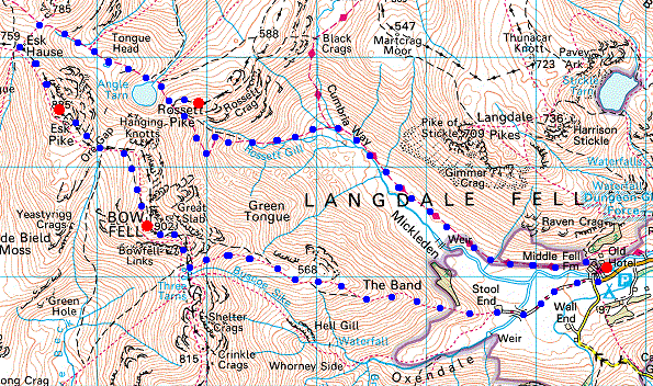
© Crown copyright. All rights reserved. Licence number AL100038401
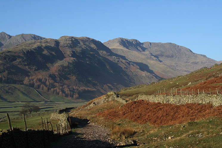
The Band and Bow Fell from the track into Mickleden
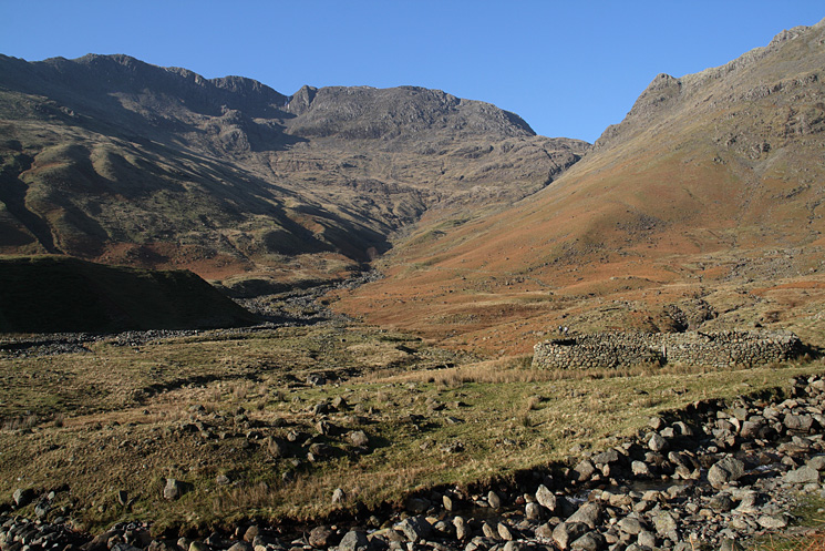
Bowfell, Rossett Gill and Rossett Pike from the end of Mickleden
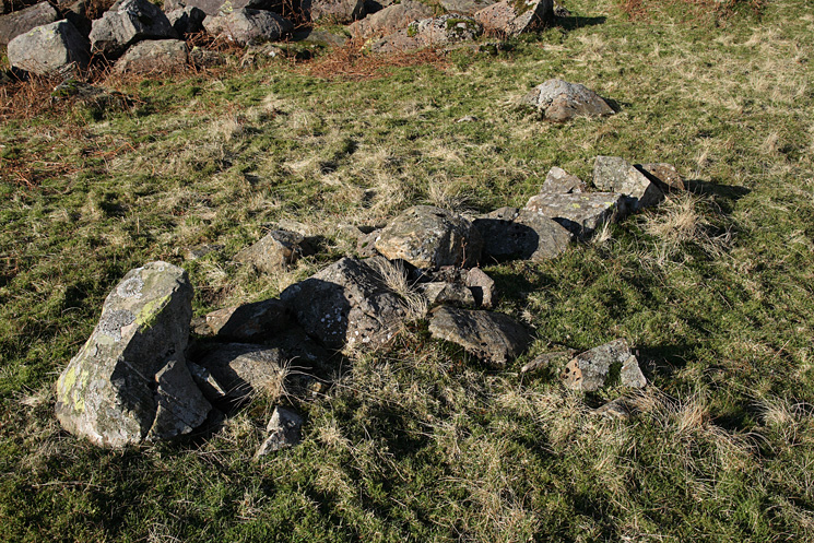
The packwoman's grave
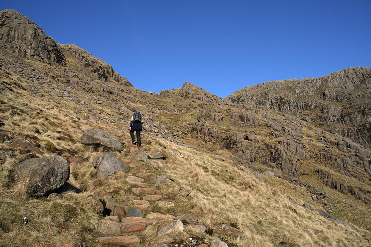
Heading up the Rossett Gill path
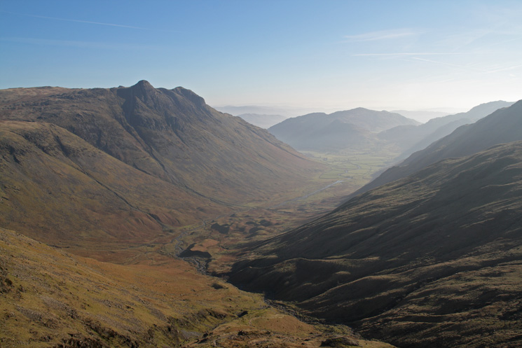
The Langdale Pikes and Mickleden
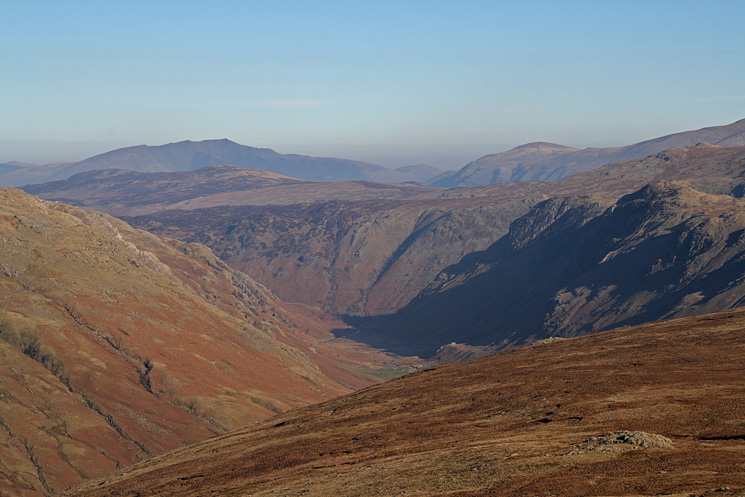
Langstrath with Blencathra in the far distance from Rossett Pike's summit

360 Panorama from Rossett Pike's summit
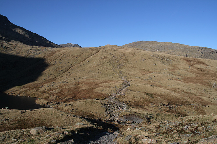
The path past Angle Tarn, heading for Esk Hause
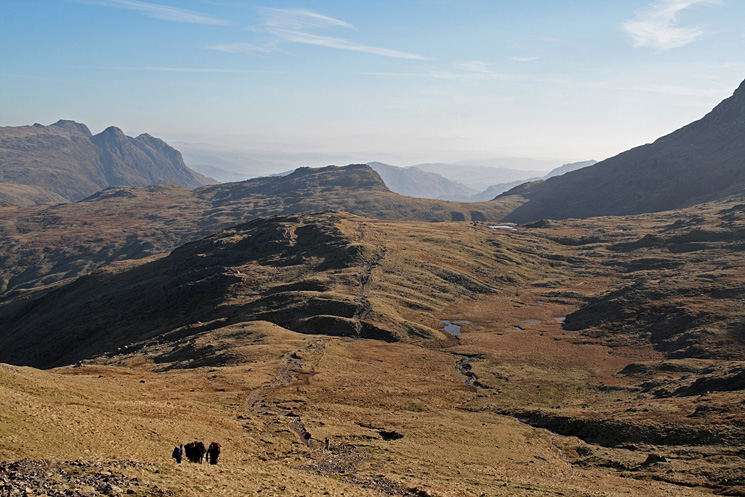
Looking back to Rossett Pike as I approach Lower Esk Hause (the cross shelter)
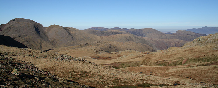
Great Gable, Green Gable, Base Brown with the north western fells behind and Skiddaw on the far right
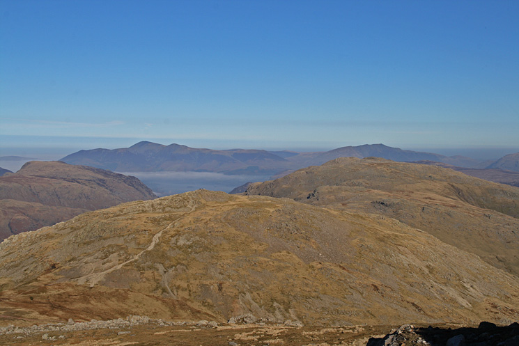
The Allen Crags to Glaramara ridge with Skiddaw and Blencathra in the distance
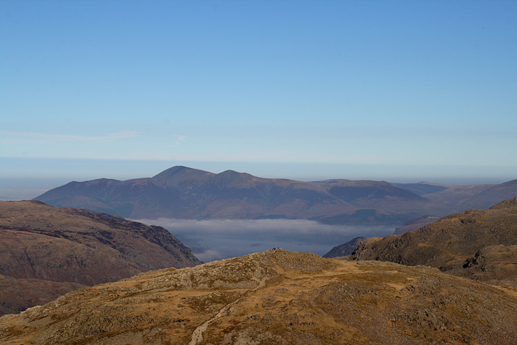
Skiddaw and a glimpse of Derwent Water seen over Allen Crags' summit
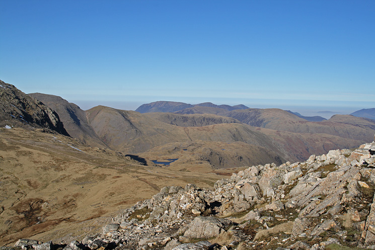
Looking across to the north western fells from Esk Pike
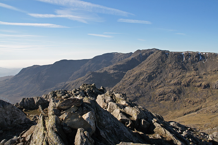
The Scafells from Esk Pike's summit

360 Panorama from Esk Pike's summit
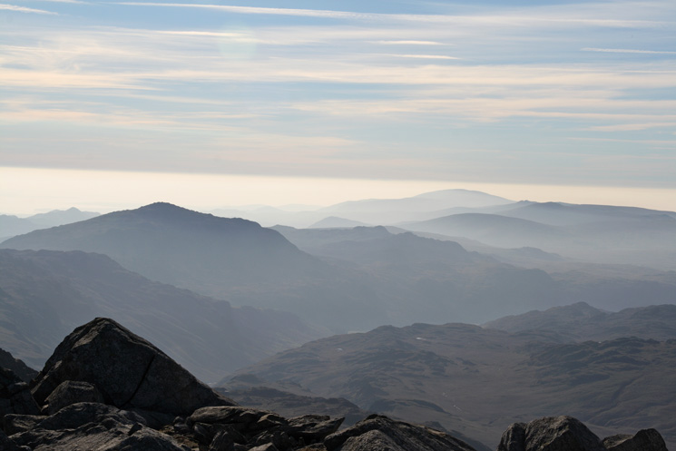
The view south from Esk Pike's summit
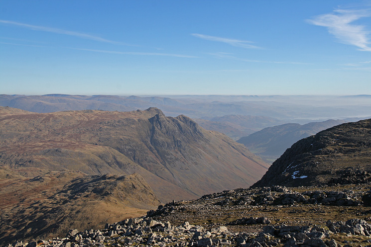
Rossett Pike below and the Langdale Pikes from Esk Pike's summit
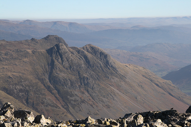
The Langdale Pikes from Esk Pike's summit
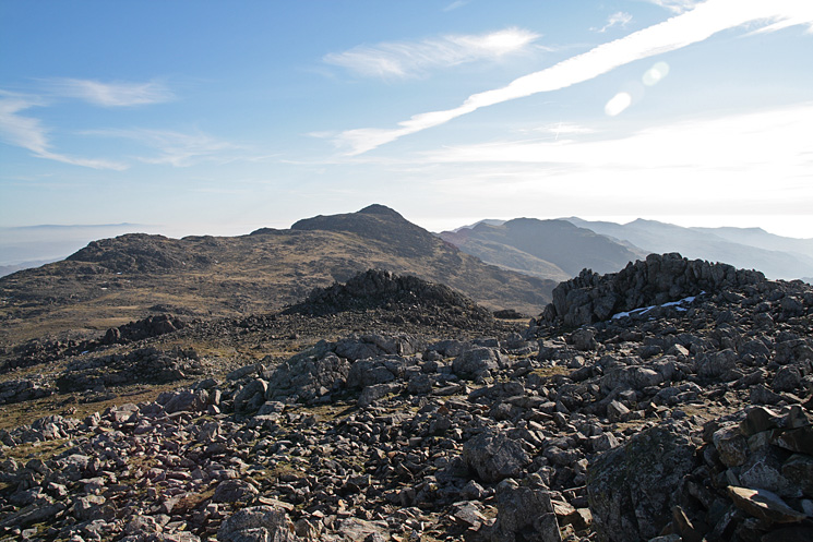
Bow Fell from Esk Pike's summit
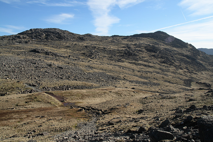
Looking across Ore Gap to Bowfell
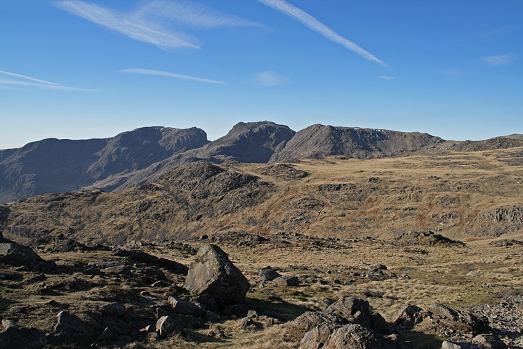
The Scafells from Bowfell
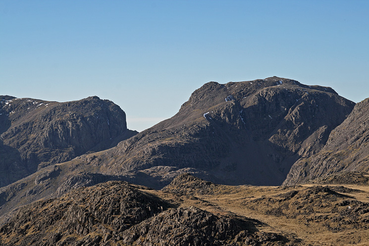
Zooming in on Mickledore and Scafell Pike
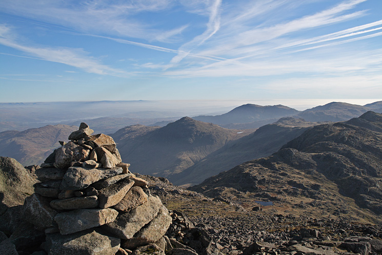
Looking south east from Bowfell's summit
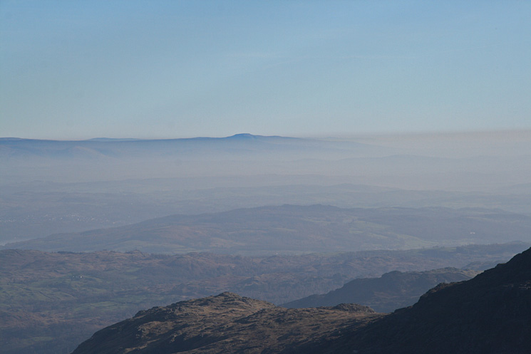
Ingleborough from Bowfell's summit
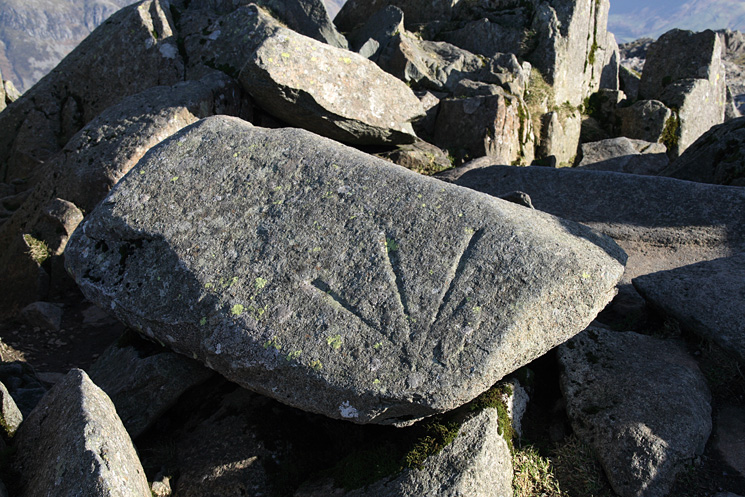
An Ordnance Survey bench mark at Bowfell's summit
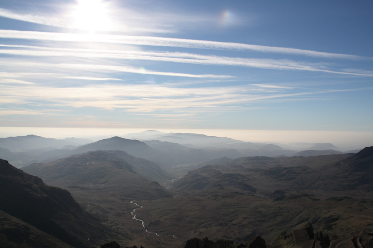
The view south from Bowfell's summit
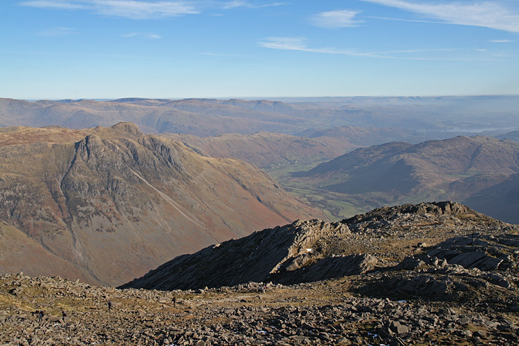
Looking over the top of Great Slab to the Langdale Pikes
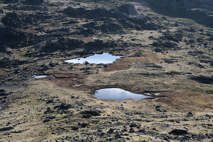
Three Tarns
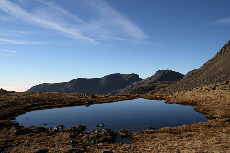
The Scafells from Three Tarns
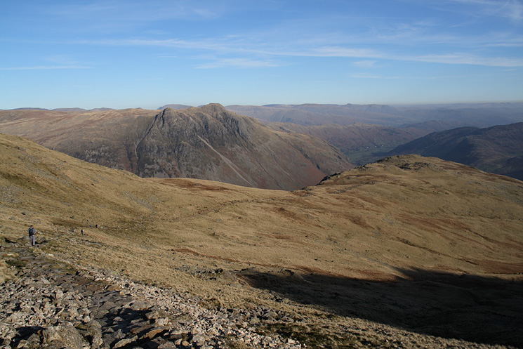
On the path down The Band
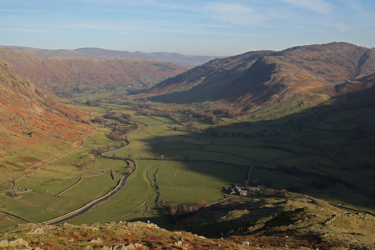
Great Langdale from low down on The Band
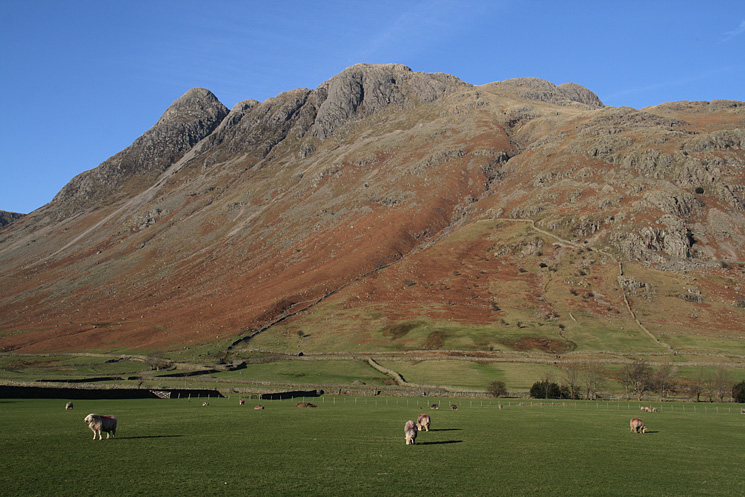
The Langdale Pikes from the Stool End Farm road
Previous Walk: Blencathra from Bowscale (Sat 9 Feb 2008)
Next Walk: High Street from Kentmere via Hall Cove (Tue 12 Feb 2008)
