Blencathra from Scales
Sun 2 Mar 2014
Route: Scales - Scales Fell - Blencathra - Atkinson Pike - Blue Screes - the valley of the River Glenderamackin - Mousthwaite Comb - Scales
Distance: 6.25 miles
Ascent: 2,250ft
Time: 2 hours 45 minutes
With: On own
Notes:
Bright with clear summits when I started walking but the cloud came in. Some sleet and rain during the descent.
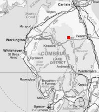
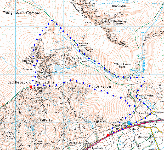
© Crown copyright. All rights reserved. Licence number AL100038401
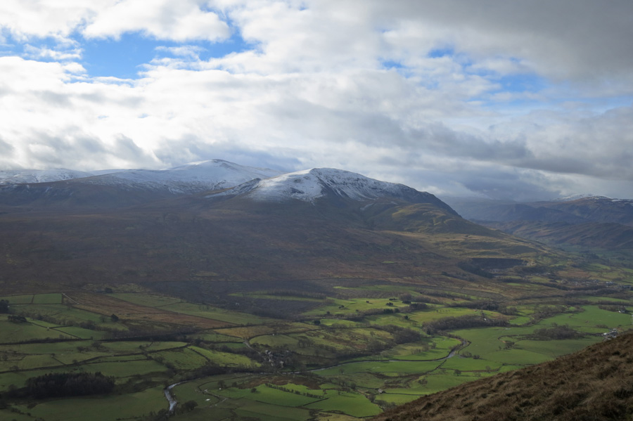
Clough Head to the south
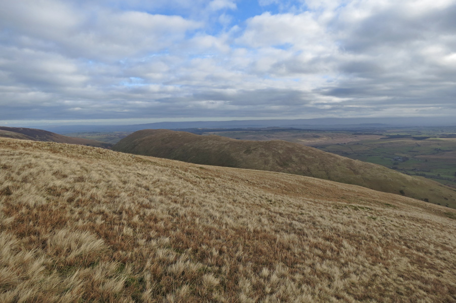
Looking across to Souther Fell
Scales Fell
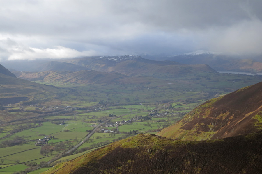
Threlkeld far below
Great Mell Fell
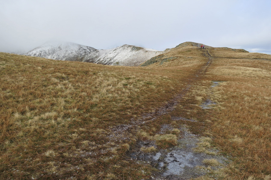
Ascending Scales Fell
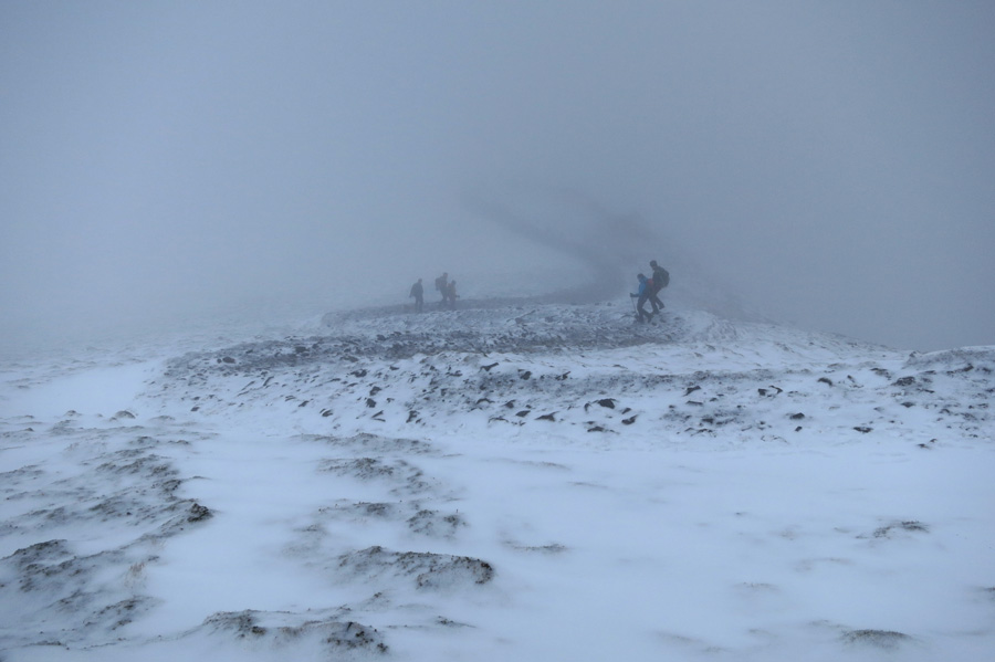
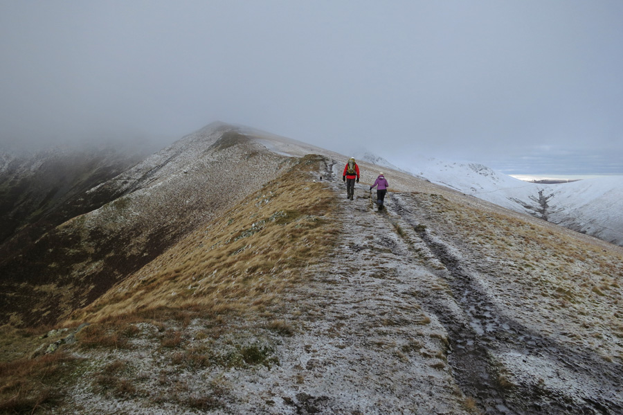
Walkers heading down as I head up
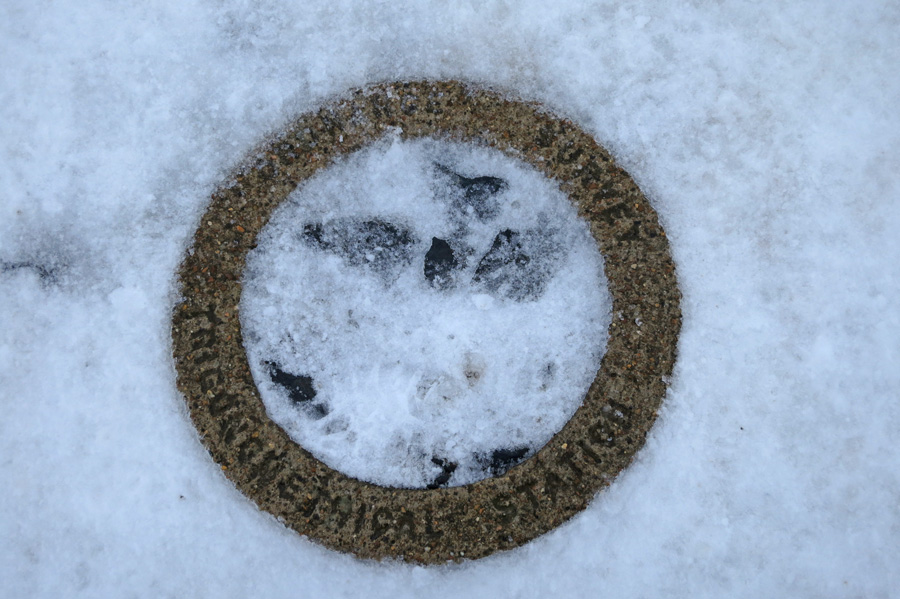
The OS trig at Blencathra's summit, the views equalled yesterday's!
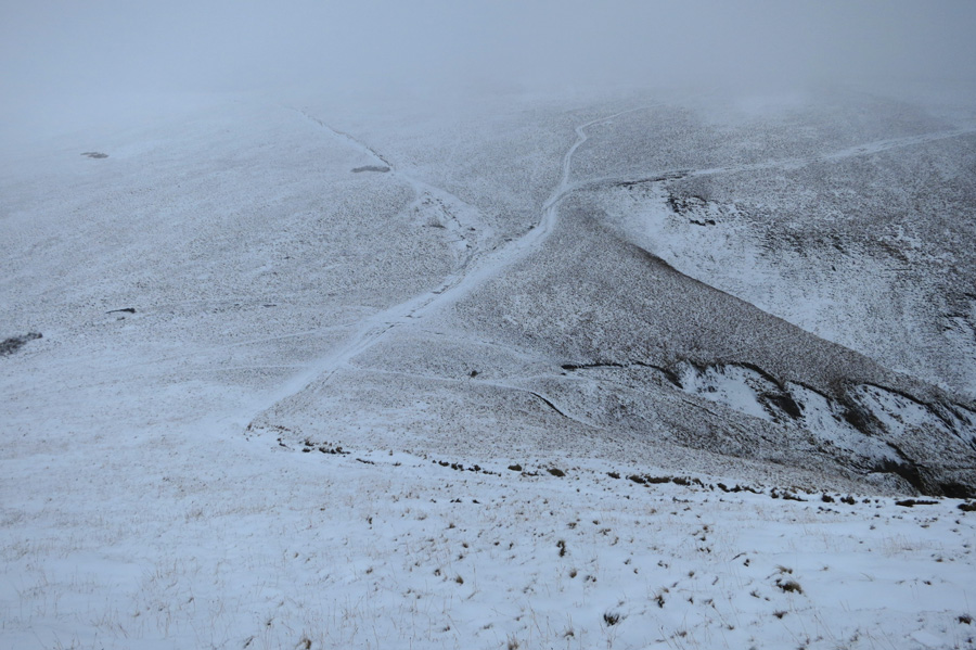
Path junction. Up left for Bowscale Fell, Up right for Bannerdale Crags. I'm heading down right
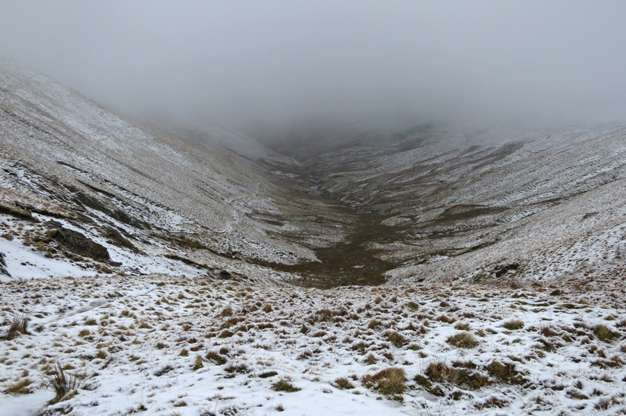
The valley of the River Glenderamackin, my descent route can be seen on the left side
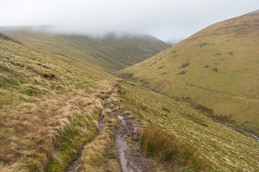
Looking back up the valley
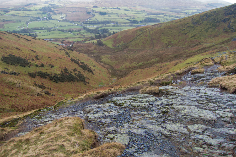
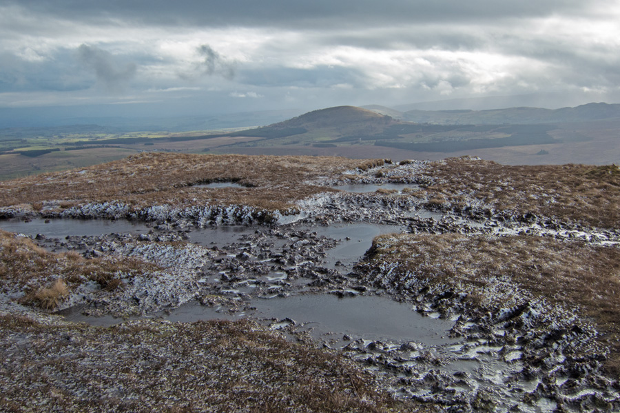
Mousthwaite Comb
Previous Walk: Blencathra (Sat 1 Mar 2014)
Next Walk: Red Tarn and Birkhouse Moor (Tue 4 Mar 2014)