Blencathra
Thu 12 Jun 2014
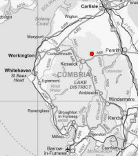
Route: Blencathra Centre, Threlkeld - Blease Fell - Knowe Crags - Gategill Fell Top - Blencathra - Gategill Fell Top - Knowe Crags - Blease Fell - Blencathra Centre
Distance: 4.75 miles
Ascent: 2,100ft
Time: 2 hours 30 minutes
With: Anne
Notes:
Sunny Summer's evening. Tee shirt and shorts weather. The lightest of wind.
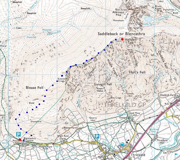
© Crown copyright. All rights reserved. Licence number AL100038401
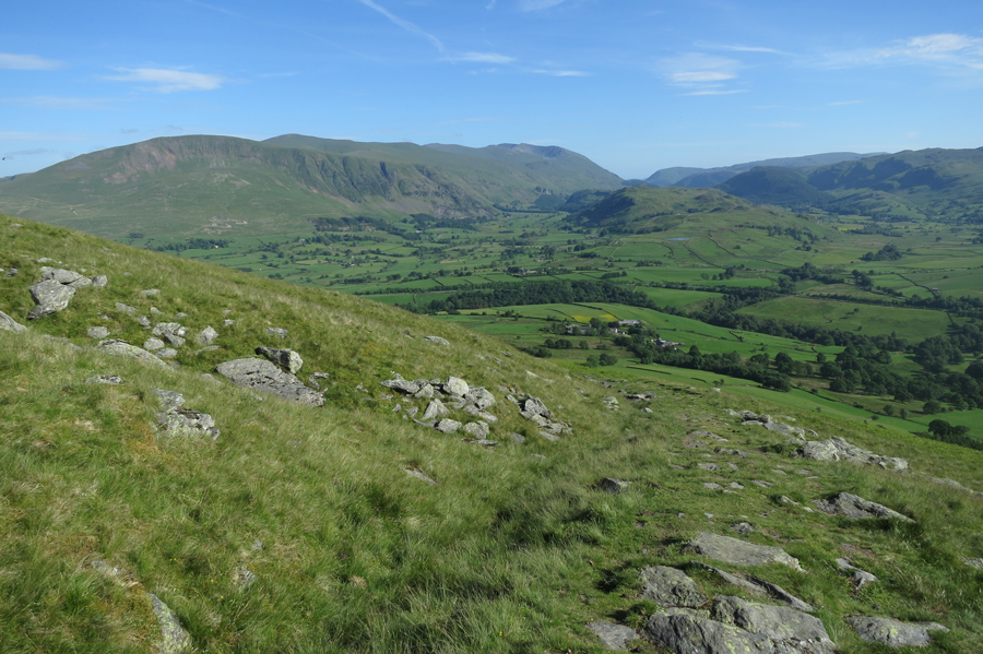
The Helvellyn ridge to the south as we start up Blease Fell
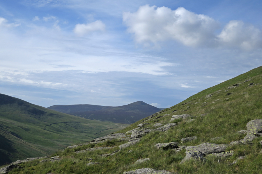
Great Calva to the north
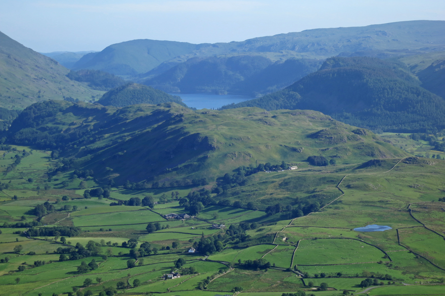
High Rigg and Tewet Tarn with Thirlmere beyond
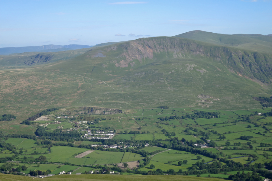
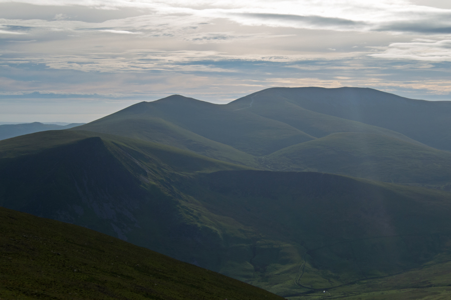
Clough Head
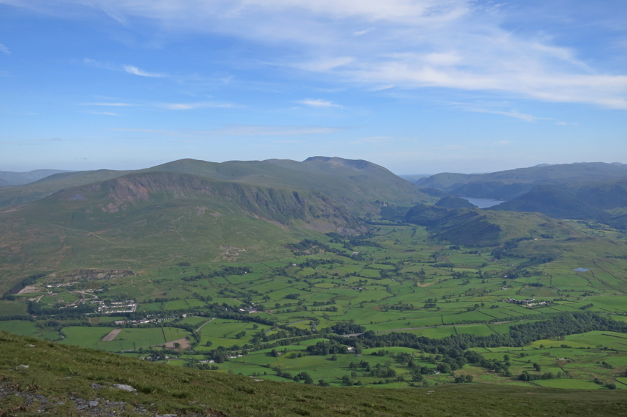
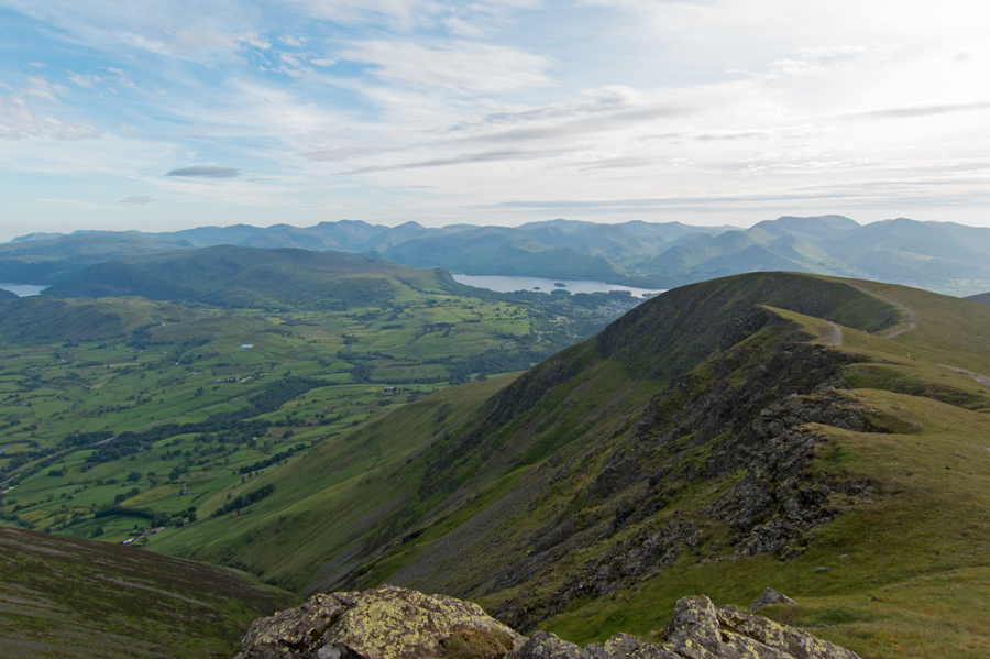
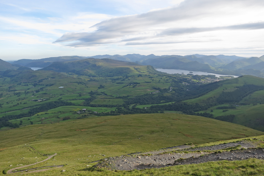
The view south
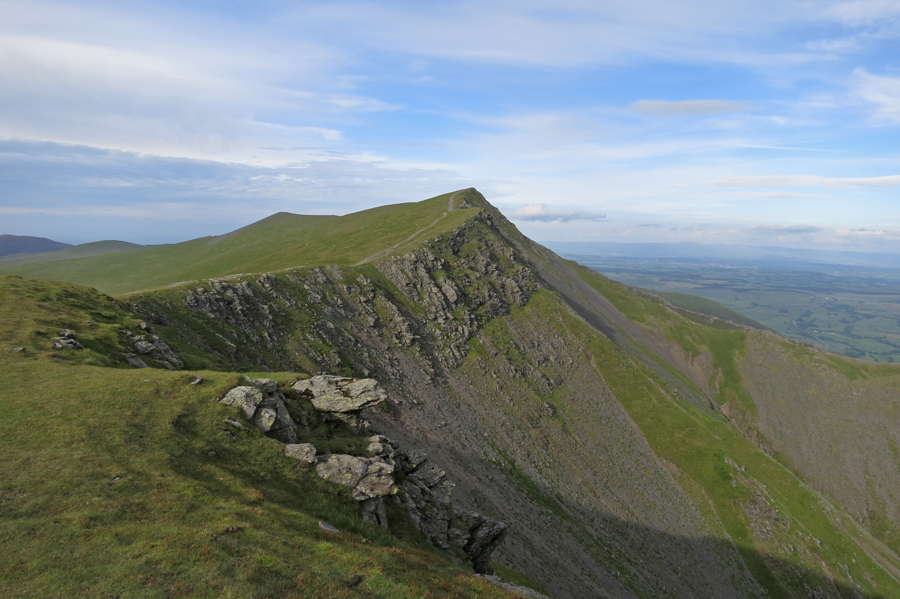
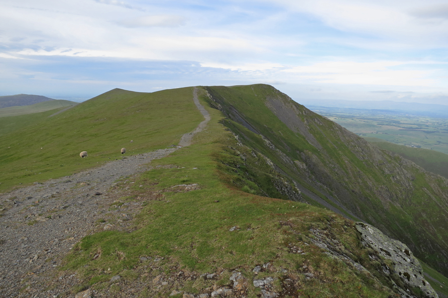
Gategill Fell Top from Knowe Crags
Hallsfell Top, Blencathra's summit from Gategill Fell Top
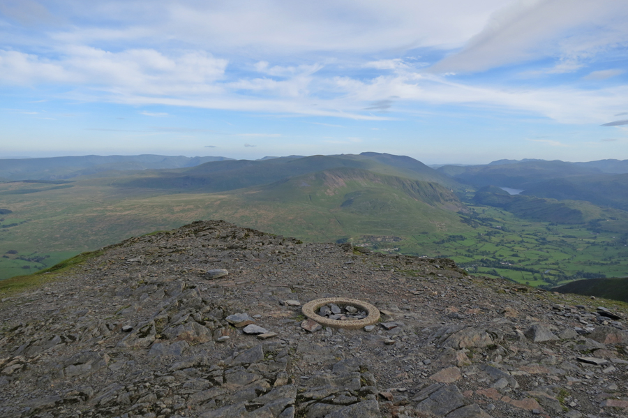
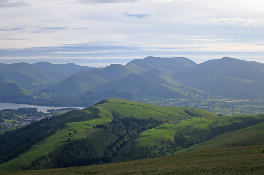
The view south from Blencathra's summit
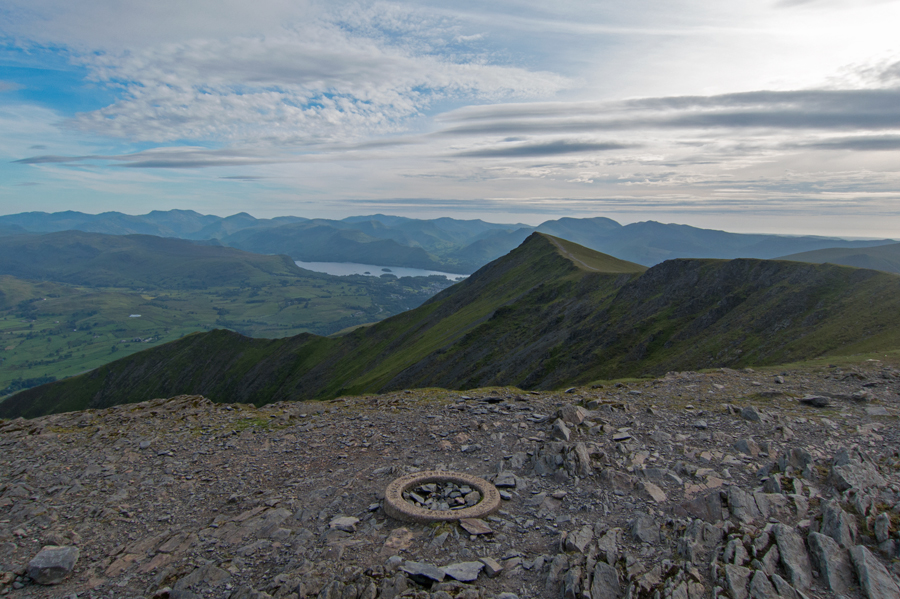
Gategill Fell Top from Hallsfell Top, Blencathra's summit
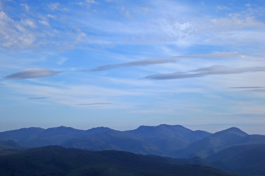
Zooming south - Crinkle Crags, Bowfell, Esk Pike, Great End, Scafell Pike, Scafell and Great Gable
Knowe Crags from Gategill Fell Top
Skiddaw
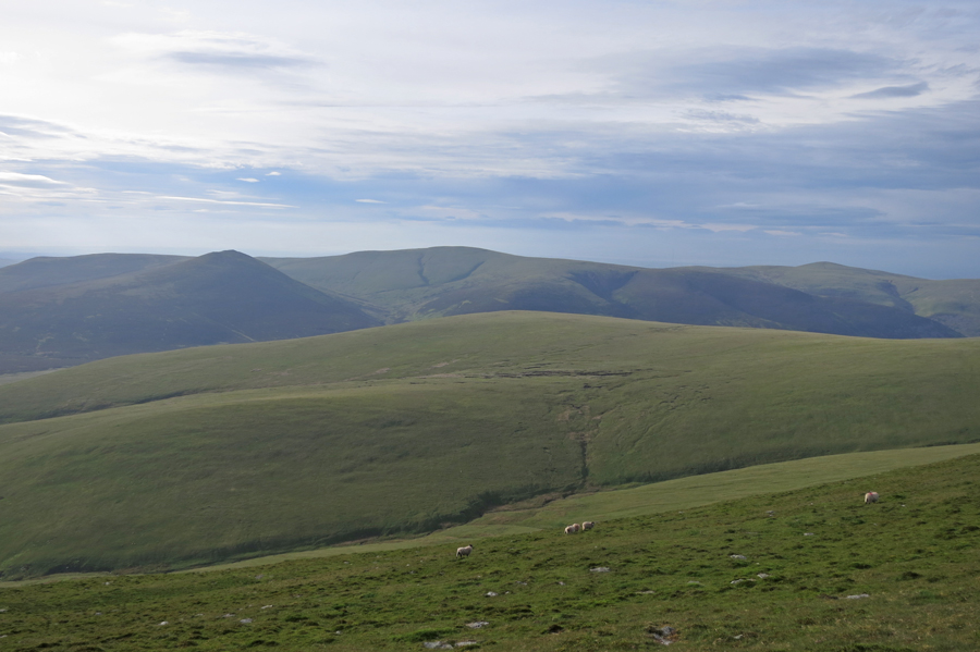
Mungrisdale Common
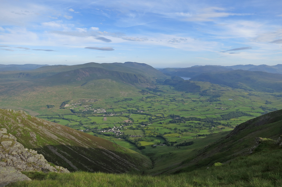
St John's in the Vale
Descending Blease Fell
Latrigg with the north western fells behind
Previous Walk: High Pike and Carrock Fell (Sat 24 May 2014)
Next Walk: Hartsop Above How, Hart Crag, Priest's Hole and Dovedale (Sat 14 Jun 2014)