Mardale Ill Bell, High Street and Kidsty Pike
Sat 8 Sep 2007
Route: Mardale Head - Blea Water - north ridge - Mardale Ill Bell - High Street - Straits of Riggindale - Kidsty Pike - Kidsty Howes - Riggindale - Haweswater - Mardale Head
Distance: 7.25 miles
Ascent: 2,400ft
Time: 3 hours 50 minutes
With: Anne
Notes:
Sunshine and blue sky for most of the walk
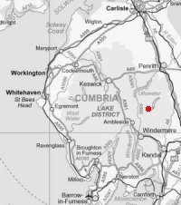
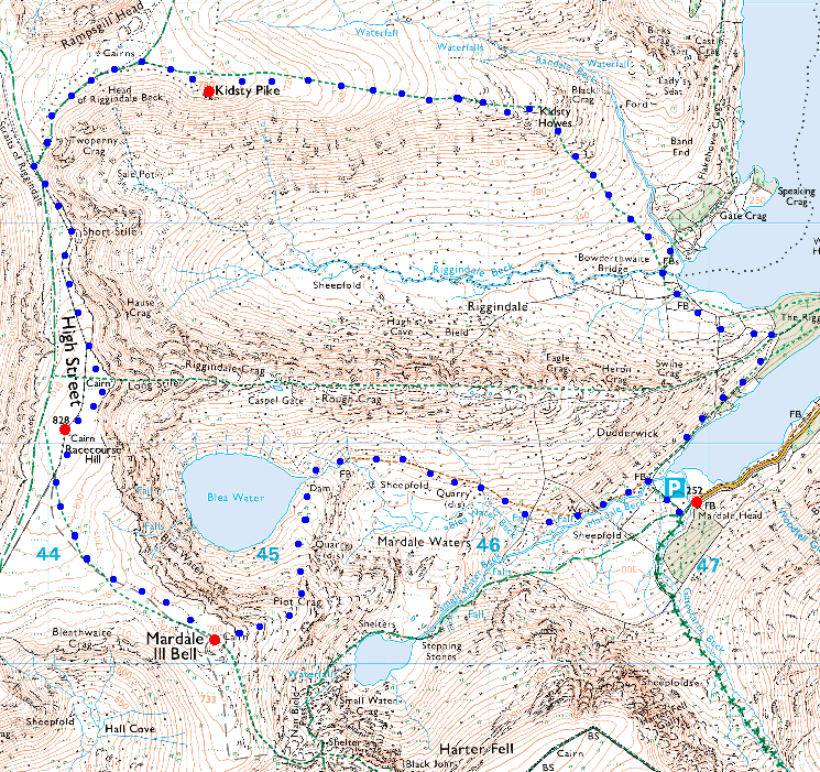
© Crown copyright. All rights reserved. Licence number AL100038401
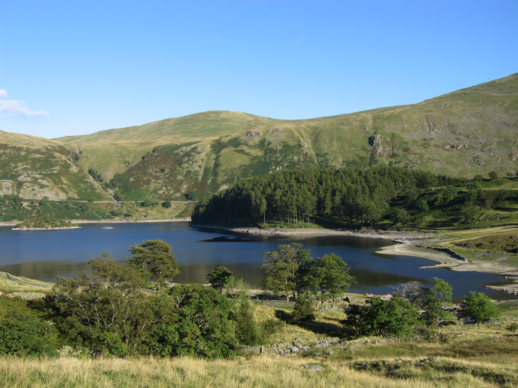
Mardale Ill Bell from Mardale Head
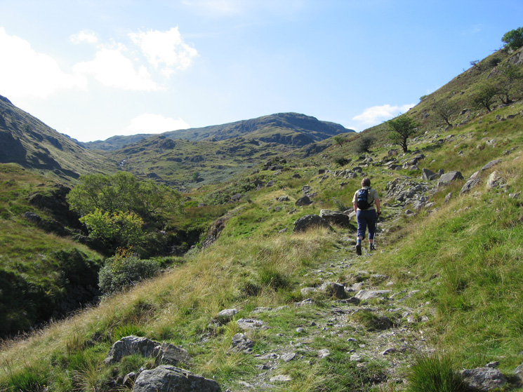
The path by Mardale Beck
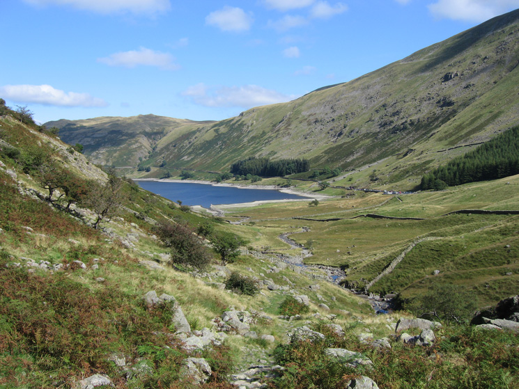
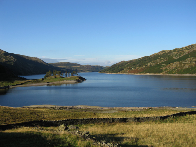
Looking back towards Haweswater and Mardale Head
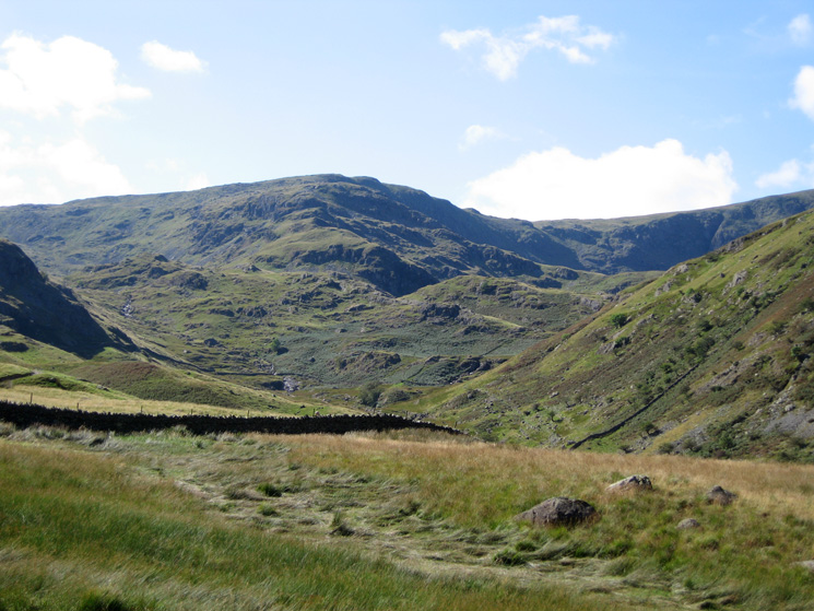
Looking ahead towards High Street, the near ridge rising to the left will be our ascent route onto Mardale Ill Bell
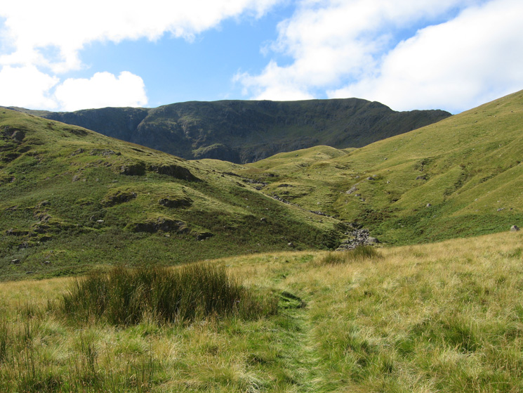
The route to Blea Water
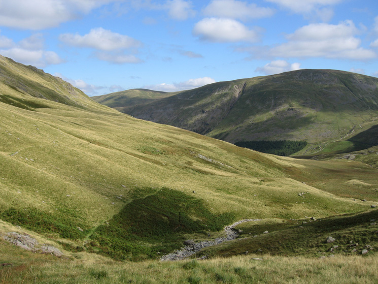
Looking back along our route and across the valley to Branstree
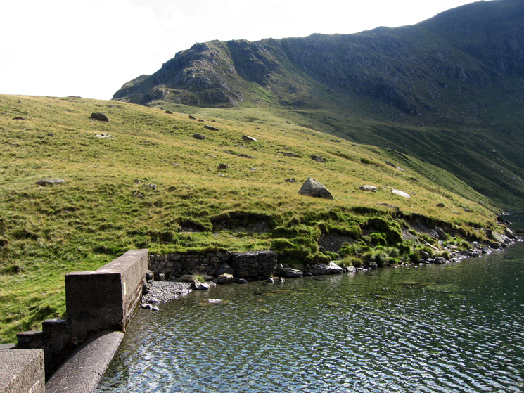
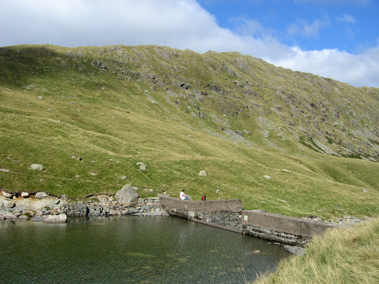
Mardale Ill Bell's north ridge from Blea Water dam
Rough Crag from Blea Water
Another photo of Mardale Ill Bell's north ridge
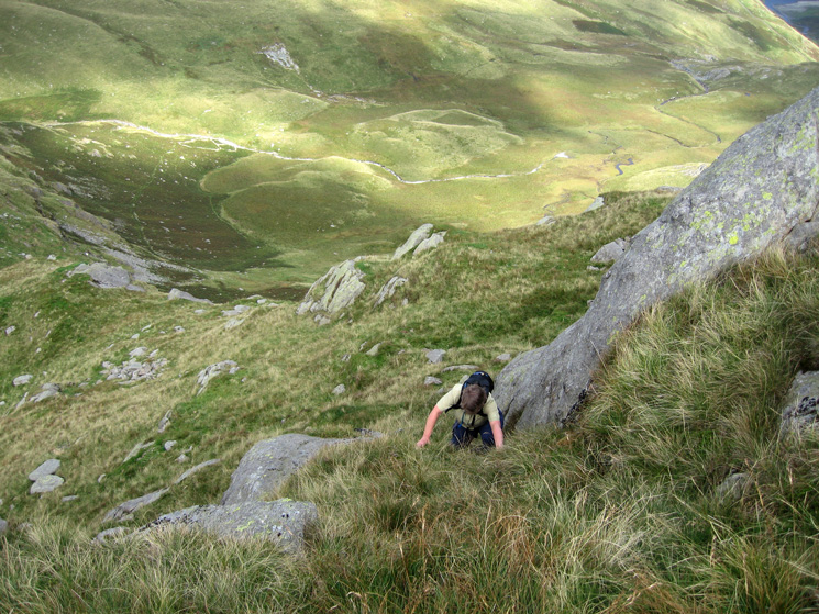
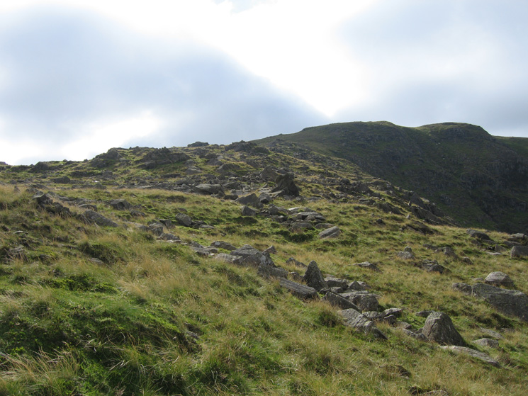
Ascending Mardale Ill Bell's north ridge
Looking back down Mardale Ill Bell's north ridge to Blea Water
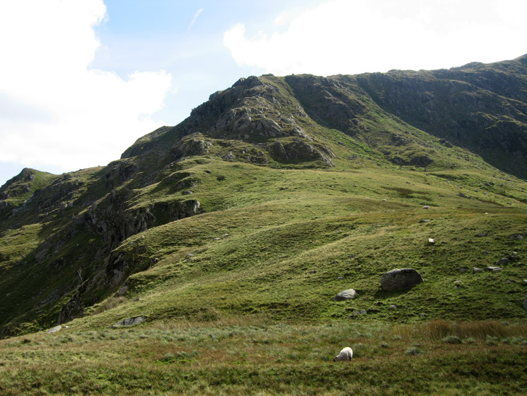
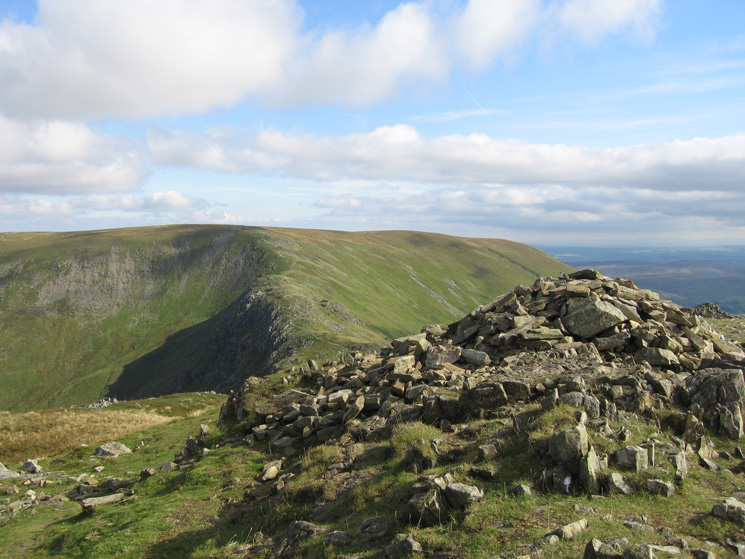
They way ahead to Mardale Ill Bell's summit, the steep part over
Nan Bield Pass and the ridge to Harter Fell
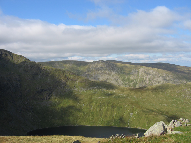
Blea Water, Long Stile, Kidsty Pike and High Raise in the far distance
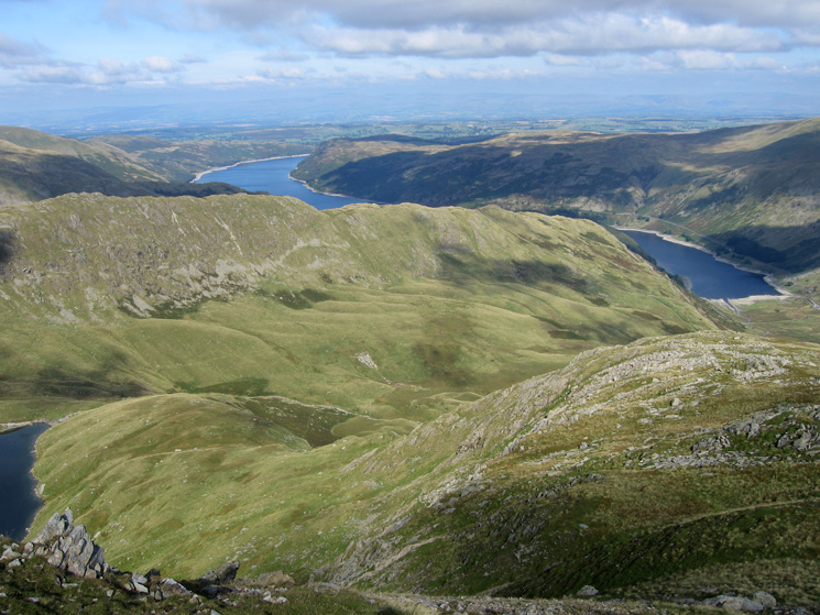
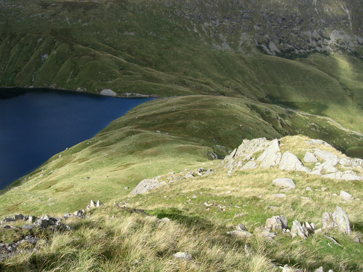
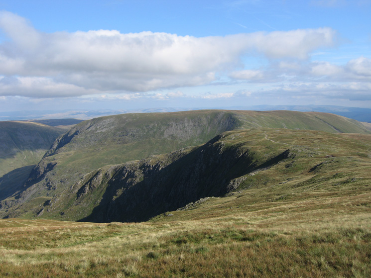
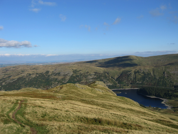
Mardale Ill Bell's north ridge and Blea Water below, the Rough Crag ridge and Haweswater
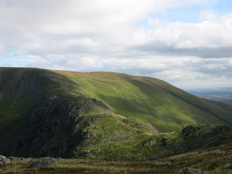
Harter Fell from Mardale Ill Bell's summit

360 Panorama from Mardale Ill Bell's summit
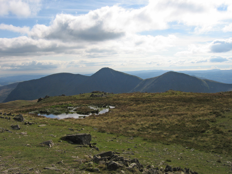
Yoke, Ill Bell and Froswick from Mardale Ill Bell's summit
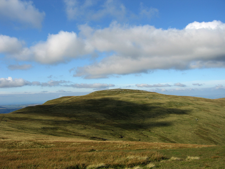
High Street from Mardale Ill Bell
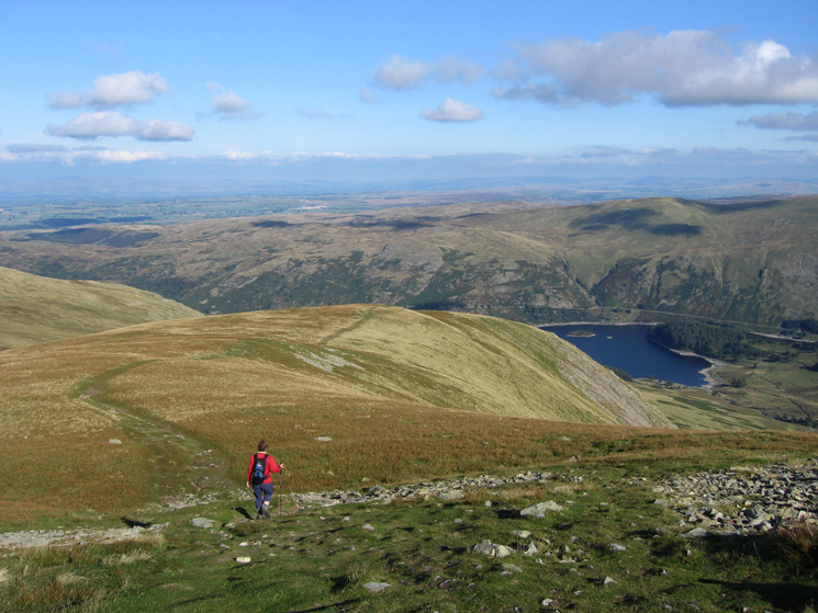
Looking back to Mardale Ill Bell with Harter Fell behind from our route up High Street
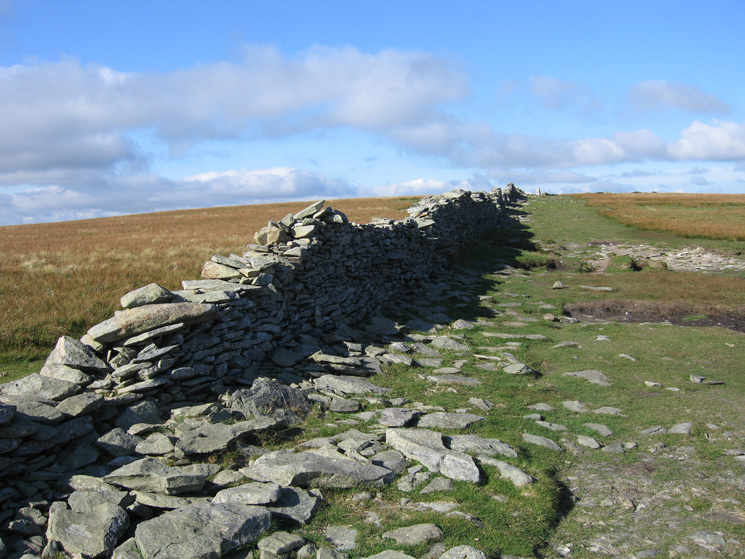
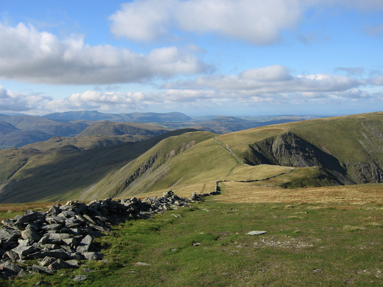
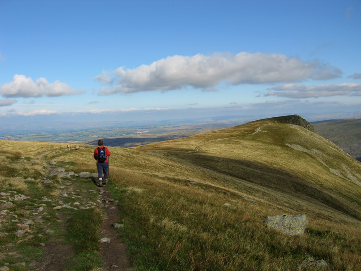
The wall across the top of High Street with the white summit trig point on the skyline
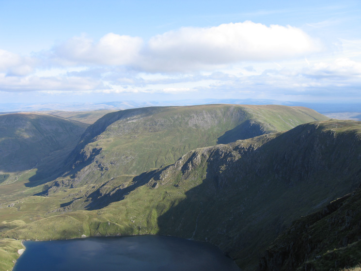
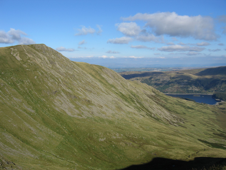
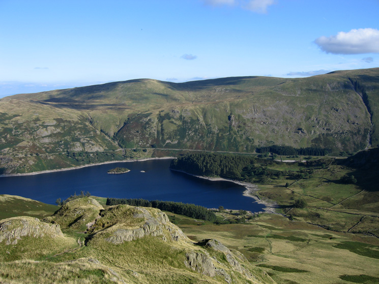
Blea Water and Mardale Ill Bell's north ridge with Harter Fell behind
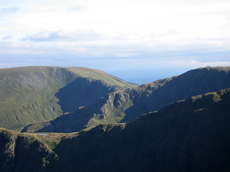
Long Stile, Caspel Gate Tarn and Rough Crag from High Street
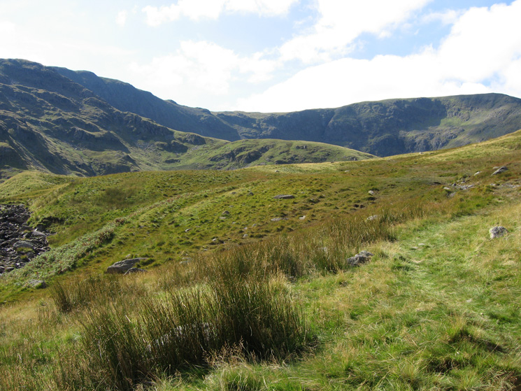
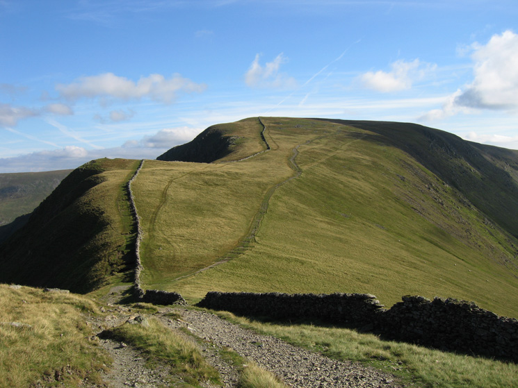
Straits of Riggindale
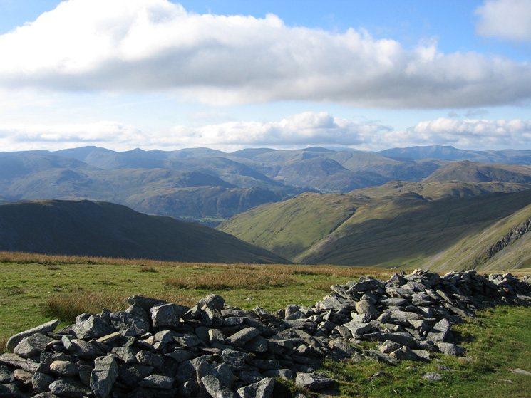
Looking across to Helvellyn, the Dodds and Blencathra from High Street
Kidsty Pike and Riggindale
Looking back across the Straits of Riggindale to High Street
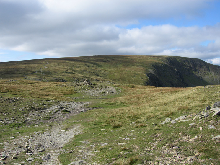
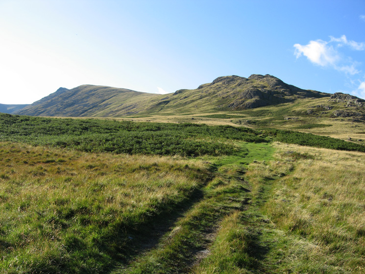
Heading for Kidsty Pike
Zooming in on Mardale Ill Bell's north ridge with Long Stile in front and Harter Fell behind left
High Raise (not the Langdale one!) from Kidsty Pike
Heading down the ridge from Kidsty Pike's summit
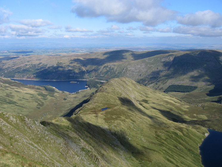
The ridge to Kidsty Howes with Selside Pike on the far side of Haweswater
Haweswater and The Rigg (wooded) from Kidsty Howes
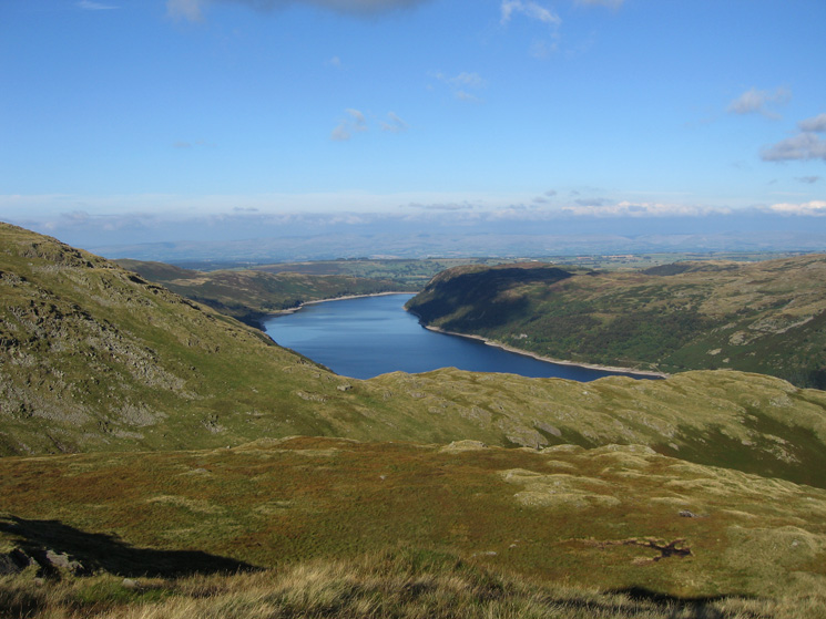
Looking north east down Haweswater from below Kidsty Howes
Kidsty Pike (left) and Kidsty Howes (right) from Riggindale
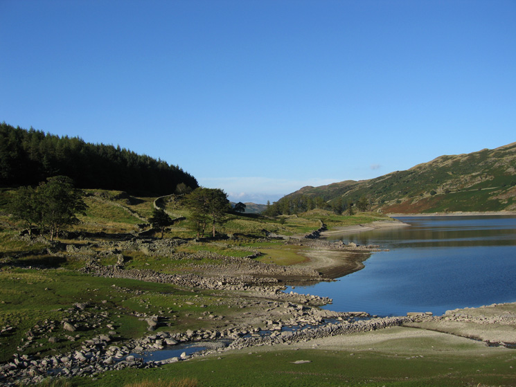
'Riggindale Bay', Haweswater
The site of Riggindale Farm, one of the many properties destroyed with the flooding of the valley to provide water for Manchester
Speaking Crag sticking out into Haweswater
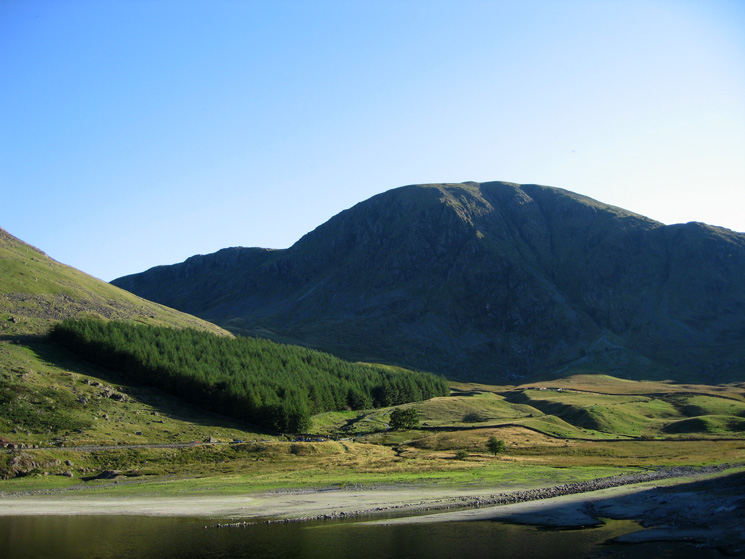
Harter Fell from Mardale Head
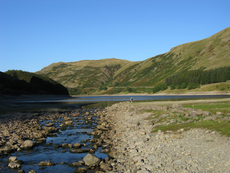
Mardale Beck flowing into Haweswater
Previous Walk: Binsey (Mon 27 Aug 2007)