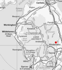
Bannisdale Horseshoe
Sat 5 May 2007
Route: A6 north of Kendal - Whiteside Pike - Todd Fell - Capplebarrow - a nameless summit (1,819ft / 555m) - a nameless summit (1,771ft / 541m) - Long Crag - White Howe - a nameless summit (1,736ft / 528m) - Lamb Pasture - Thorn Cottage - A6 north of Kendal
Distance: 10.50 miles
Ascent: 2,200ft
Time: 5 hours 20 minutes
With: David Hall
Notes:
Hill fog - not the blue sky and sunshine forecast.
We followed A. Wainwright's 'The Bannisdale Horseshoe' walk in his book 'The Outlying Fells of Lakeland' [page 260].
Be warned - there are fences to climb and bogs and tussocks to traverse on this horseshoe.
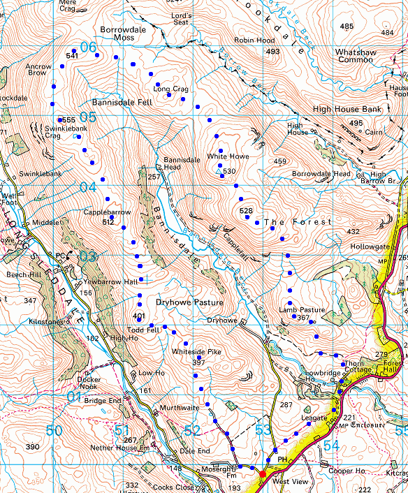
© Crown copyright. All rights reserved. Licence number AL100038401
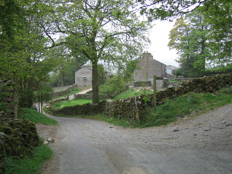
Mosergh Farm, we turned right here to follow the bridleway
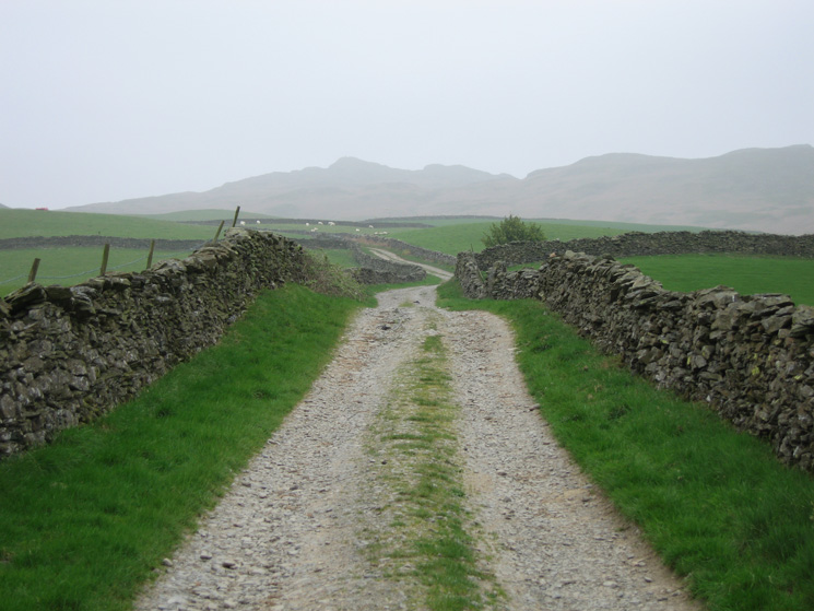
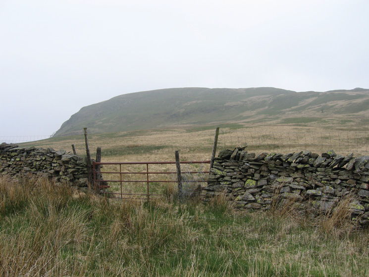
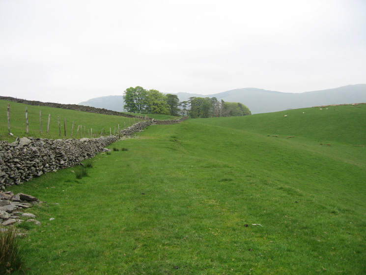
Whiteside Pike ahead on the skyline as we head for the open fell along this walled track through the farmland
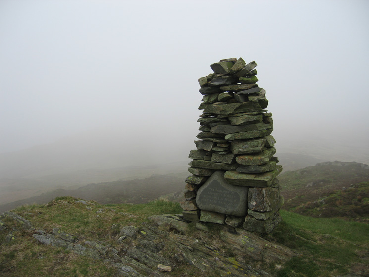
Whiteside Pike summit cairn
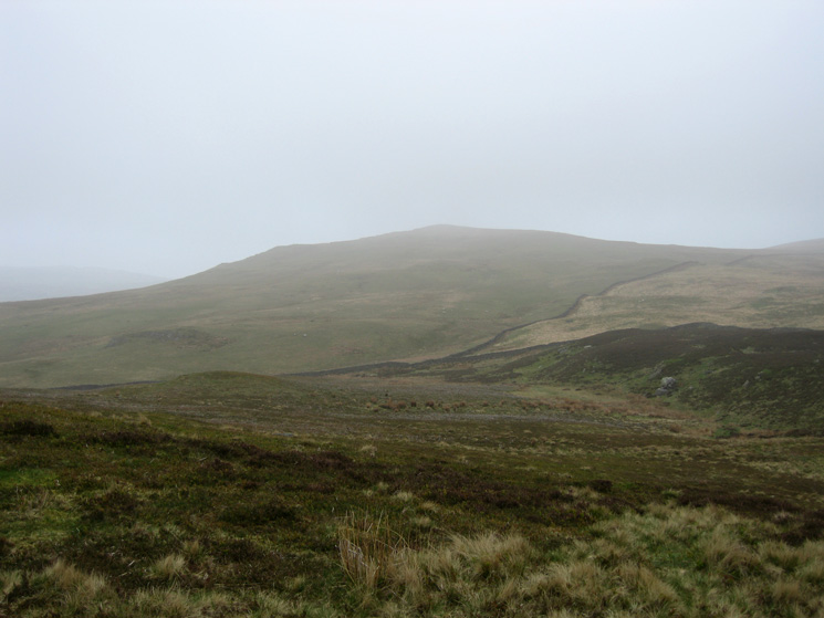
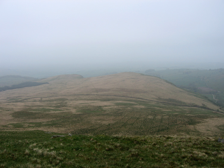
Looking across to Todd Fell from Whiteless Pike
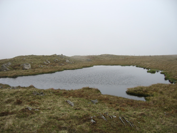
A small nameless tarn on the ridge between Capplebarrow and Ancrow Brow
Cairn at spot height 555m the highest point on the horseshoe, a nameless top per Wainwright but called Ancrow Brow by Birkett
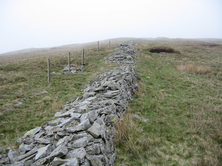
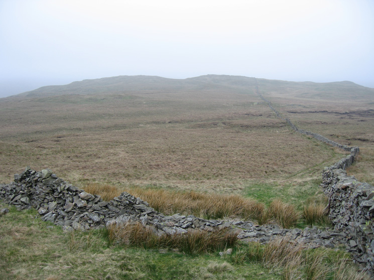
Old wall on the Ancrow Brow section of the round
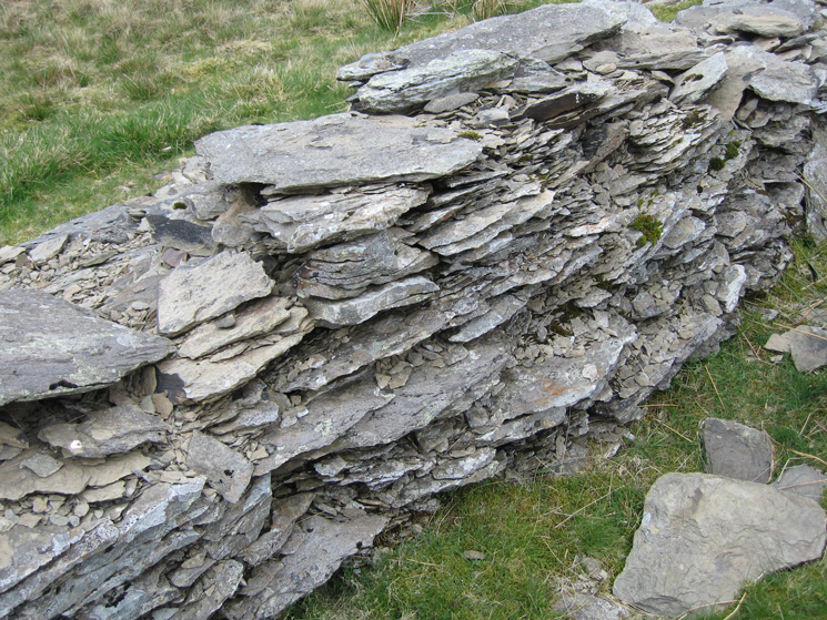
The wall is made of Bannisdale slate
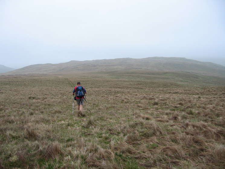
Heading for Long Crag
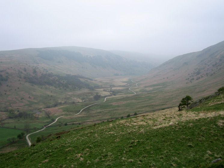
Looking across the End of Borrowdale to Lord's Seat from Borrowdale Moss
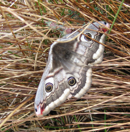
Female Emperor Moth (Saturnia pavonia) on Borrowdale Moss
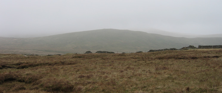
Looking back to Long Crag (Bannisdale Fell) from our route to White Howe
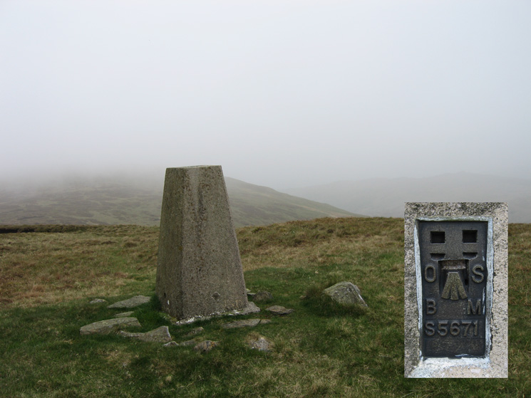
The trig point at White Howe's summit
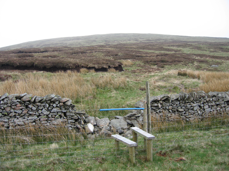
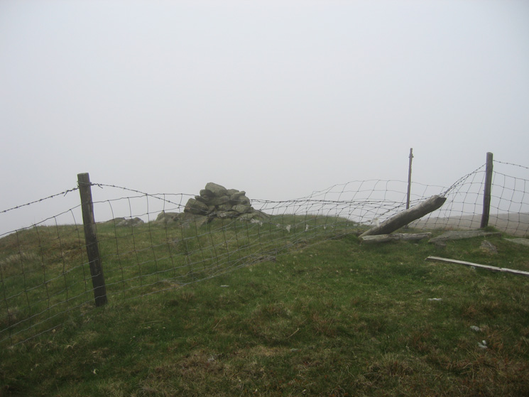
Stile across the fence to the south of White Howe. When AW was writing his Outlying Fells guide there was no stile.
Looking down on Lamb Pasture the final top of the round
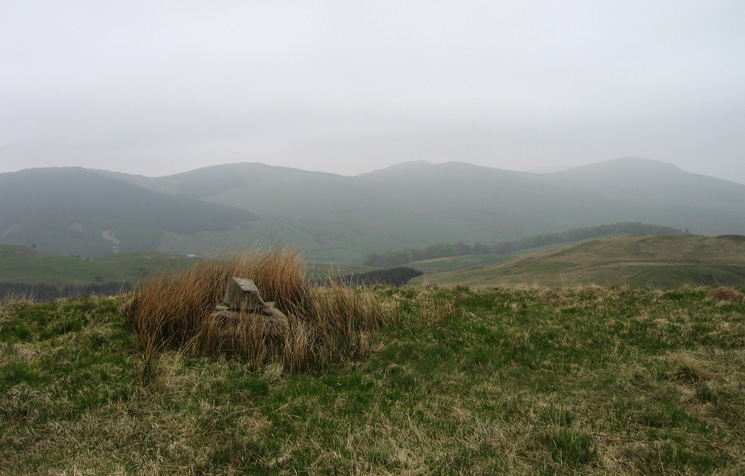
Looking back to AW's nameless top (528m / 1,736ft), called Borrowdale Head by Birkett
The Whinfell ridge from Lamb Pasture's summit
Bannisdale from Lamb Pasture
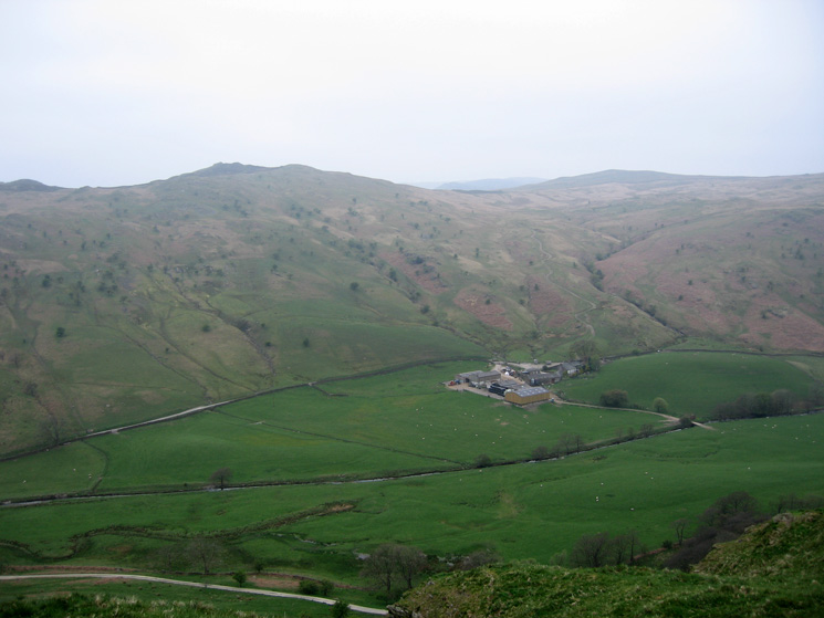
Dryhowe below Whiteside Pike and Todd Fell
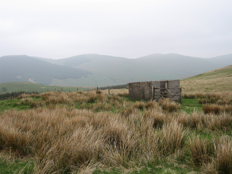
Part of the Whinfell ridge from the derelict hut to the southeast of Lamb Pasture's summit
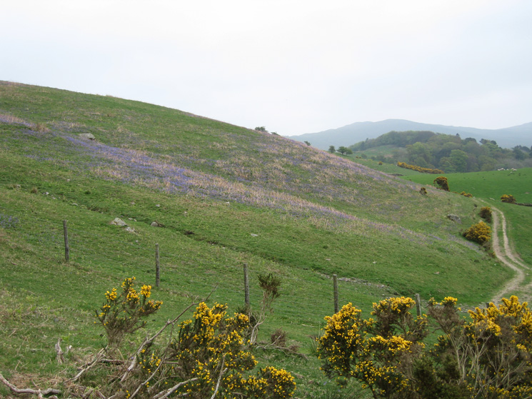
Bluebells above Thorn Cottage
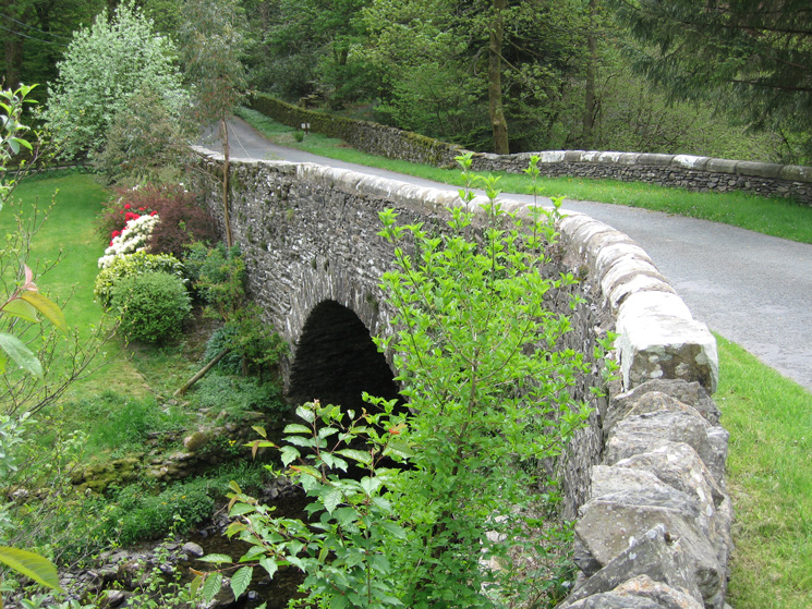
Bannisdale High Bridge
Looking back along the bridleway, the old Shap road, as we head for Plough Farm
Previous Walk: Longlands Fell (Wed 2 May 2007)
Next Walk: Rannerdale Bluebells (Sun 6 May 2007)