Glenridding Dodd and Sheffield Pike
Sat 24 Feb 2007
Route: Stybarrow Crag, Ullswater - Glenridding village - Mossdale - Glenridding Dodd - Heron Pike - Sheffield Pike - Nick Head - Glencoyne - Seldom Seen - Ullswater - Stybarrow Crag
Distance: 5.25 miles
Ascent: 2,000ft
Time: 3 hours 40 minutes
With: David Hall and Anne
Notes:
Dull, overcast but dry, mild for February.
The purple dots on the map show the field that we crossed that in hindsight we should not have. The OS map shows a permissive path across it. At the bottom is a field gate with a sign saying 'Private, no path' but the guidebook we were following said that the sign only applied to the field gate and not the hand gate next to it that we used. However on the 'outside' of the hand gate at the top of the field there was also a sign saying 'Private No Path'. My new OS Map (less than a year old) and the guidebook are now obviously both out of date and the field can not be crossed anymore.
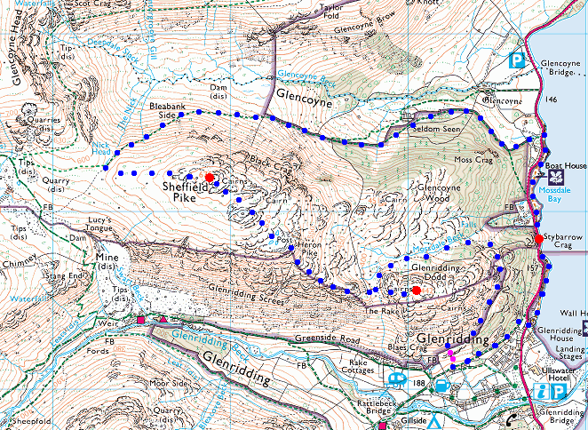
© Crown copyright. All rights reserved. Licence number AL100038401
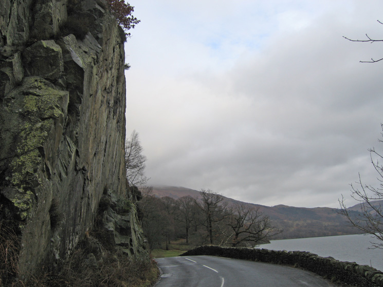
The A592 passes under Stybarrow Crag on the side of Ullswater
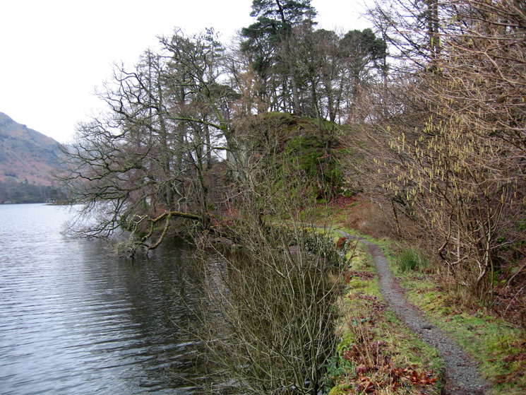
Part of the Ullswater lakeside path to Glenridding
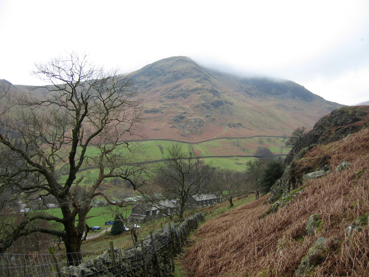
Birkhouse Moor from above Glenridding
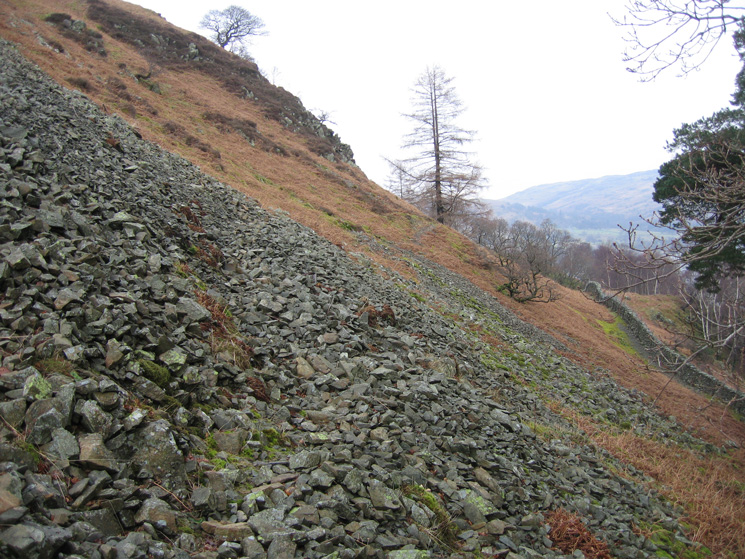
Our route above the intake wall
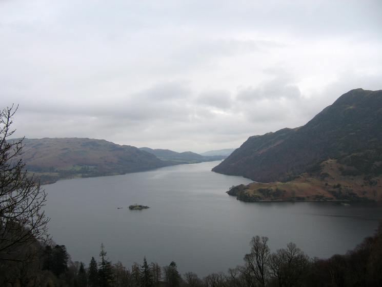
Norfolk Island, Ullswater with Silver Point on the far side of the lake
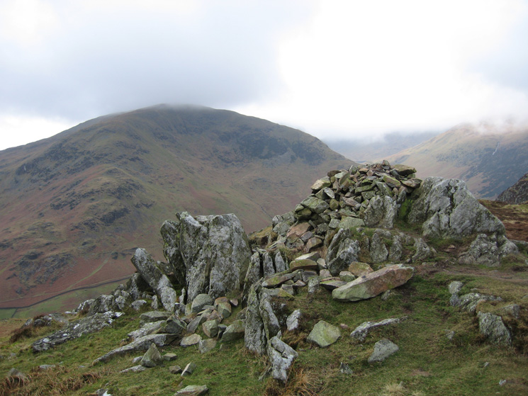
Birkhouse Moor from Glenridding Dodd's summit
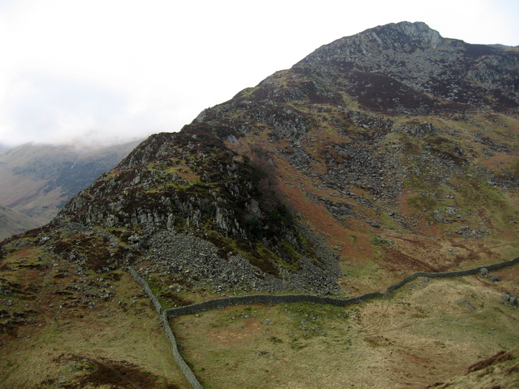
The ridge to Heron Pike, our line of ascent
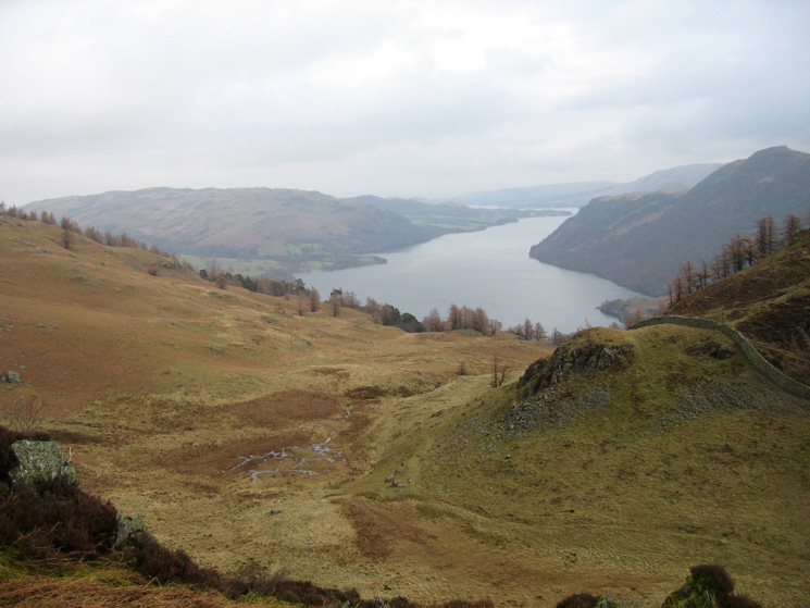
Looking back down on Mossdale
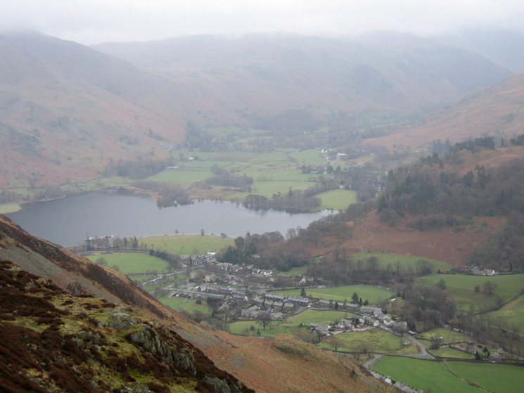
Glenridding and the head of Ullswater
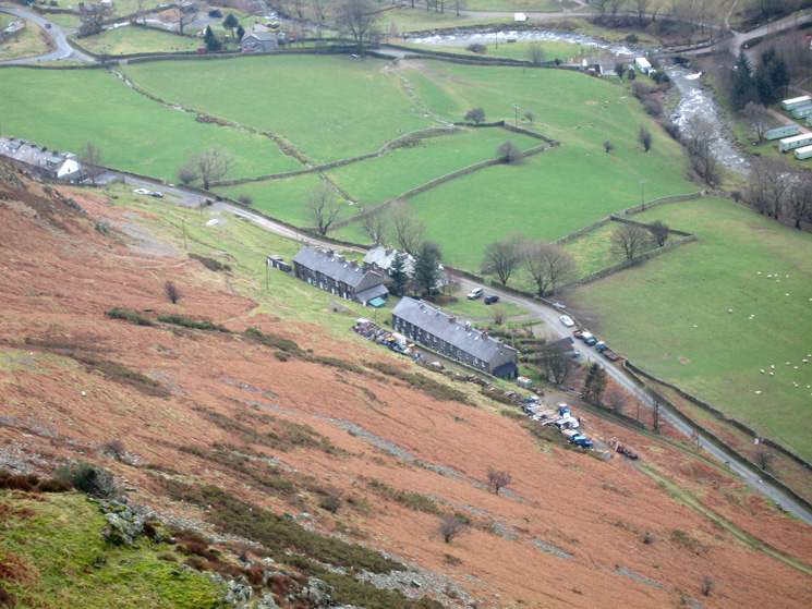
Rake Cottages, Glenridding
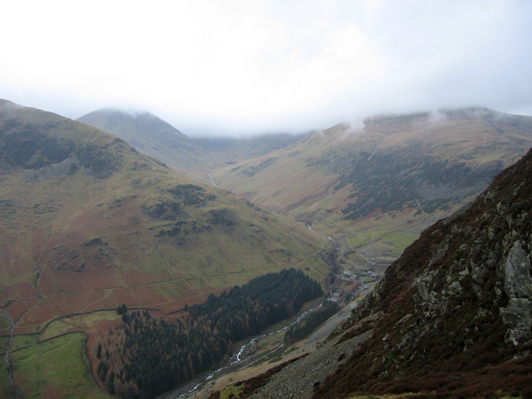
Looking up Glenridding
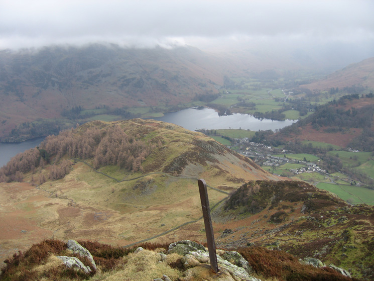
Looking back down on Glenridding Dodd from the boundary marker at Heron Pike's summit
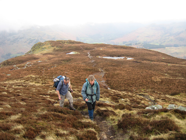
Leaving Heron Pike on our way to Sheffield Pike's summit
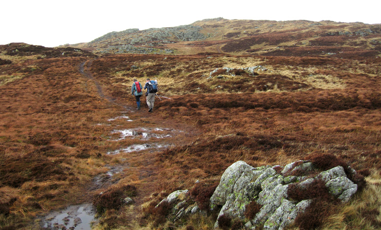
Heading to Sheffield Pike's summit
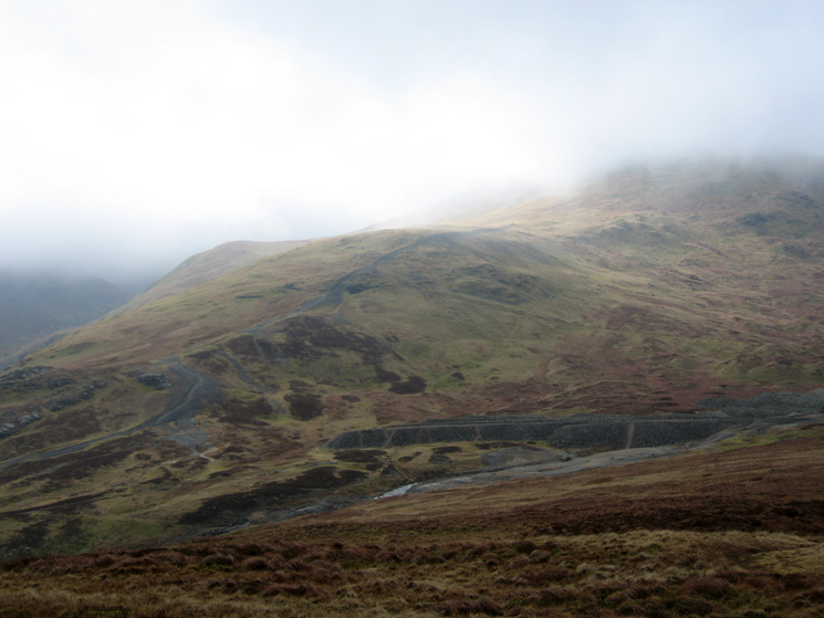
The upper part of the Greenside Mine and Raise's east ridge
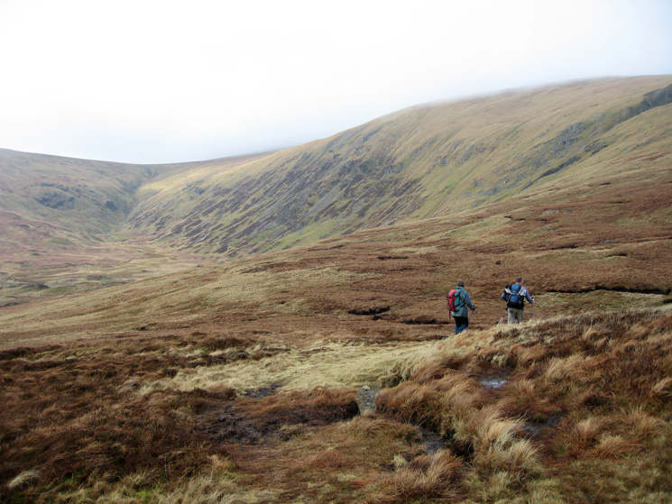
At Nick Head with Sticks Gill leading to Sticks Pass on the left
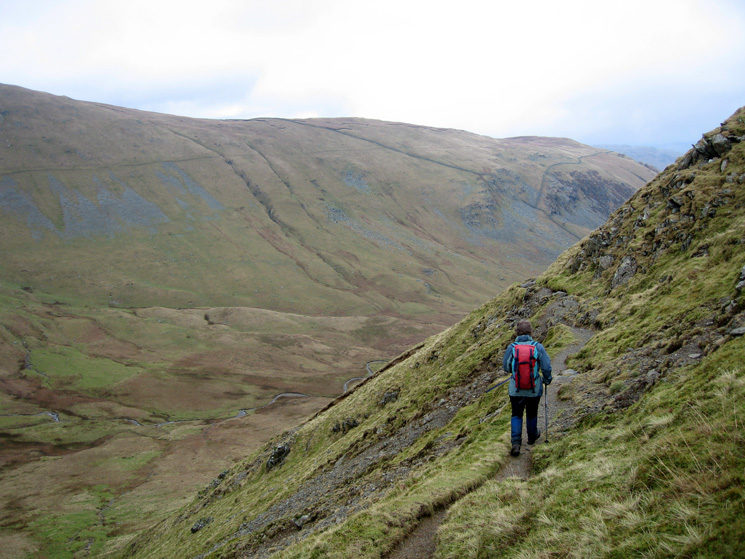
The path down into Glencoyne from Nick Head
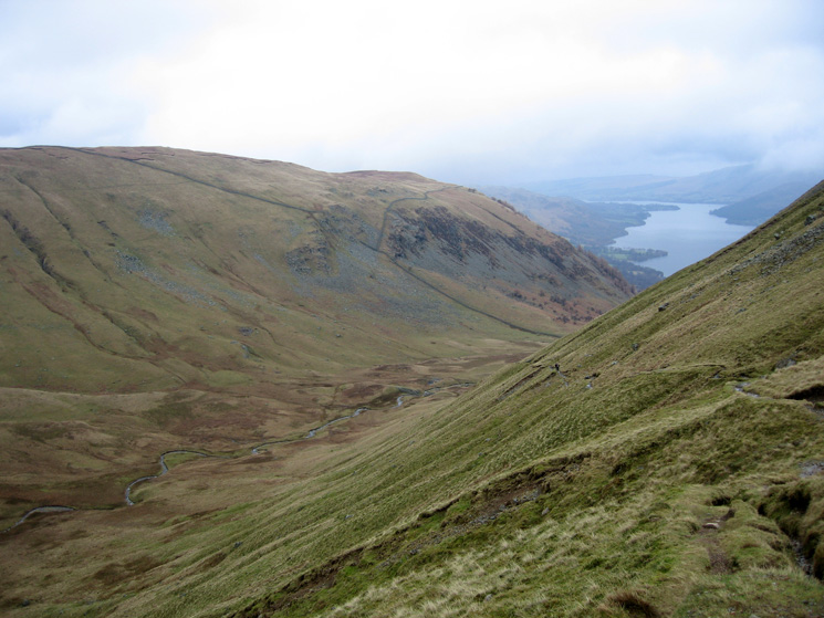
Glencoyne
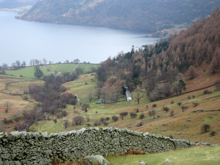
Looking down on the old miners cottages of Seldom Seen, Glencoyne
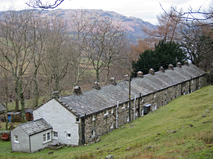
The old miners cottages of Seldom Seen, Glencoyne
Previous Walk: Helvellyn and Raise (Sun 18 Feb 2007)
Next Walk: Barf and Lord's Seat (Sun 25 Feb 2007)
