The Cogra Moss fells
Sat 10 Feb 2007
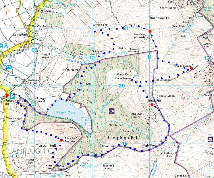
Route: Felldyke - Knock Murton - Low Pen - High Pen - Blake Fell - Sharp Knott - Carling Knott - Burnbank Fell - Owsen Fell - Cogra Moss - Felldyke
Distance: 7.50 miles
Ascent: 2,450ft
Time: 3 hours 40 minutes
With: David Hall
Notes:
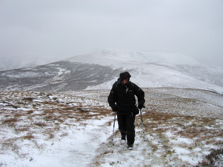
Very windy, in fact difficult to walk at times. Snow and sleet showers and a covering of snow on the ground.
© Crown copyright. All rights reserved. Licence number AL100038401
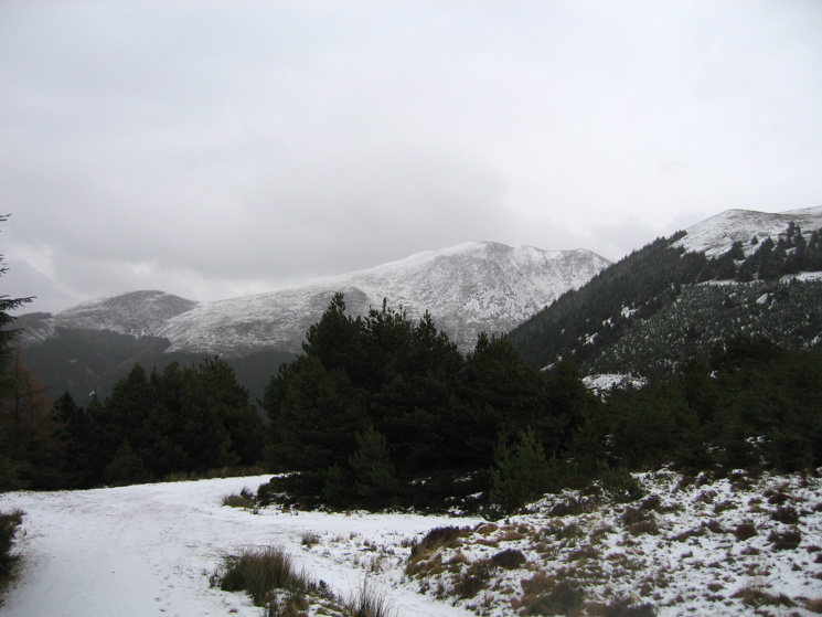
Knock Murton from the edge of the forest
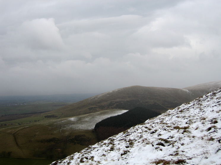
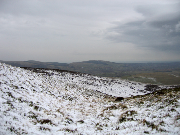
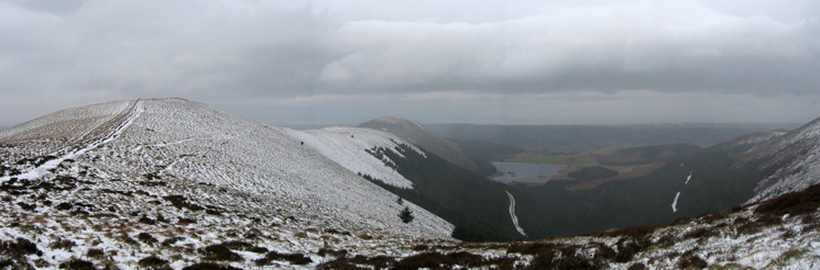
Looking across to Owsen Fell (to be our last top of the day) from Knock Murton
Dent, a Wainwright outlying fell, from our ascent of Knock Murton
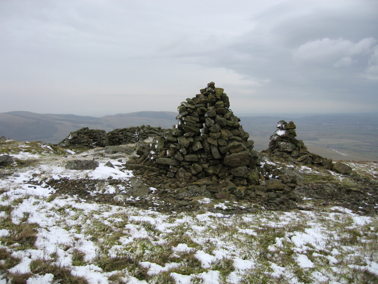
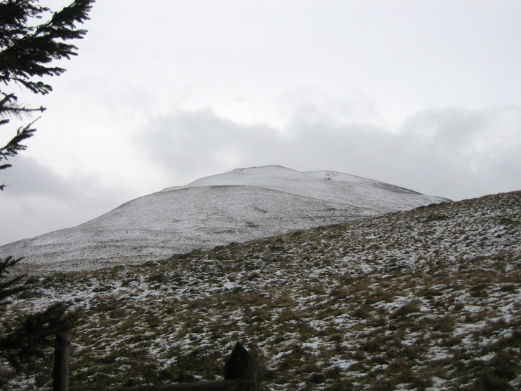
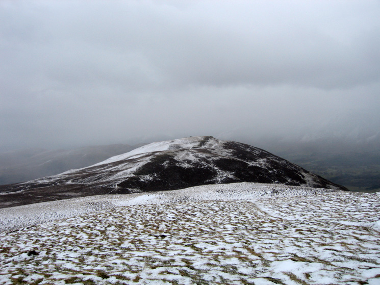
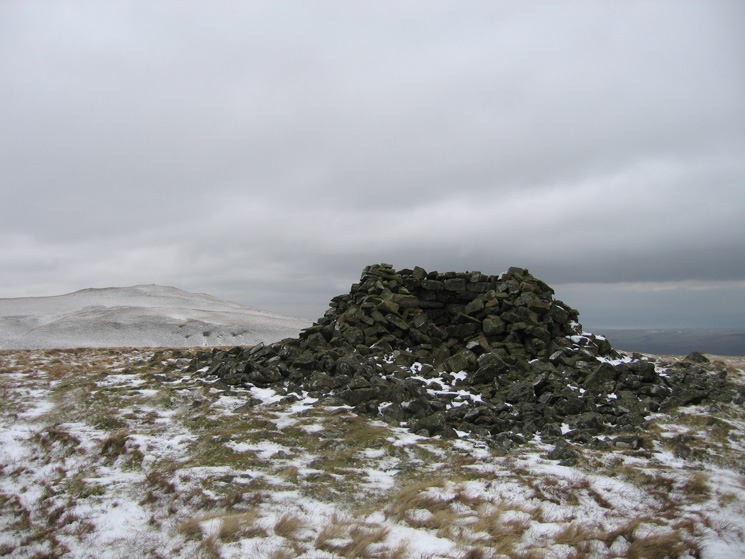
Knock Murton's summit
Great Borne / Herdus from Knock Murton
Ennerdale Water and Crag Fell from Knock Murton
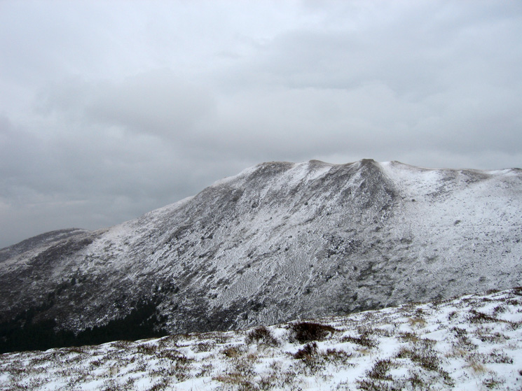
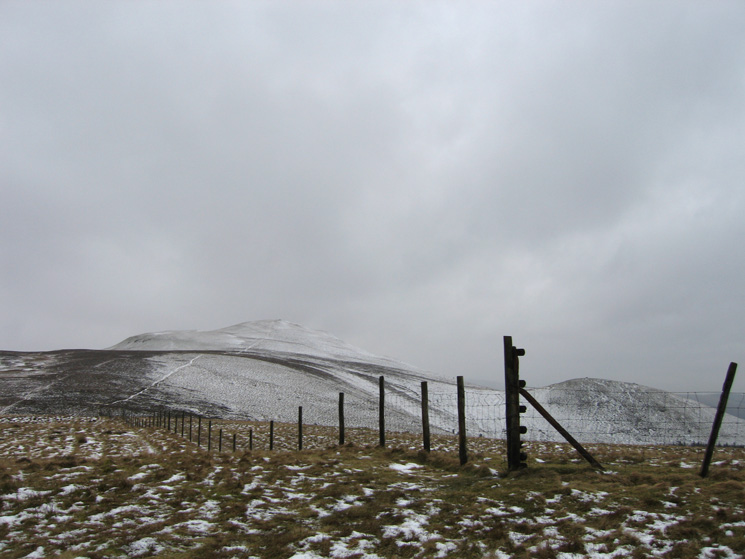
Blake Fell with Sharp Knott on the left
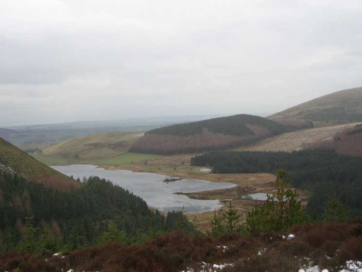
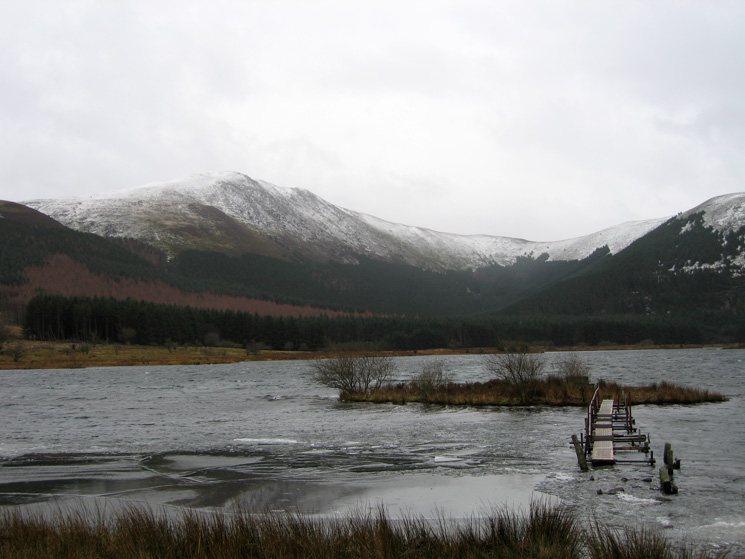
Cogra Moss
Low Pen with Knock Murton behind from High Pen
Blake Fell from High Pen
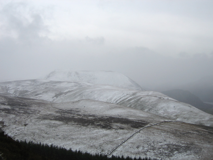
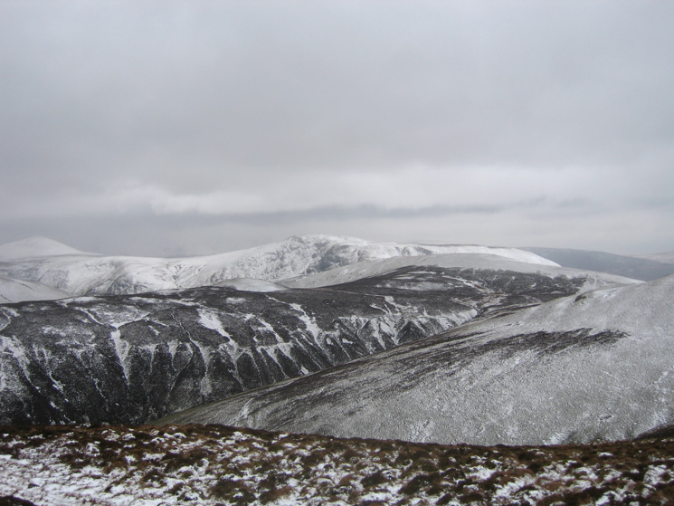
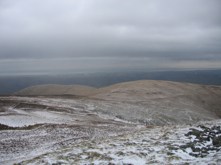
High Pen, Low Pen, Knock Murton and Cogra Moss
Ascending Blake Fell with Gavel Fell behind
Carling Knott from Blake Fell's summit
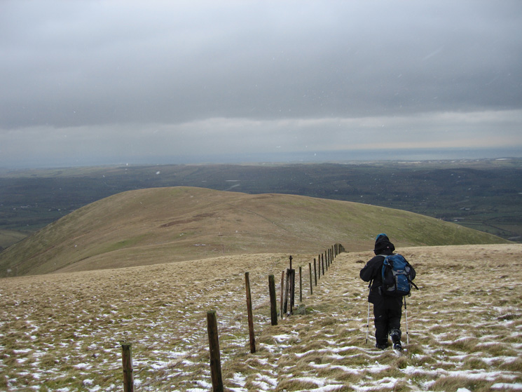
Heading for Sharp Knott from Blake Fell
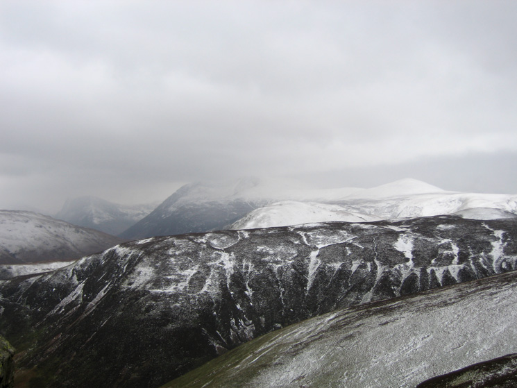
Gavel Fell's north east ridge with Fleetwith Pike on the far left, High Stile behind Hen Comb, and the conical Starling Dodd
Starling Dodd and Great Borne behind Gavel Fell from Carling Knott
Blake Fell from Carling Knott's summit
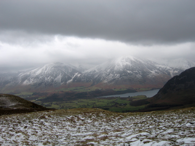
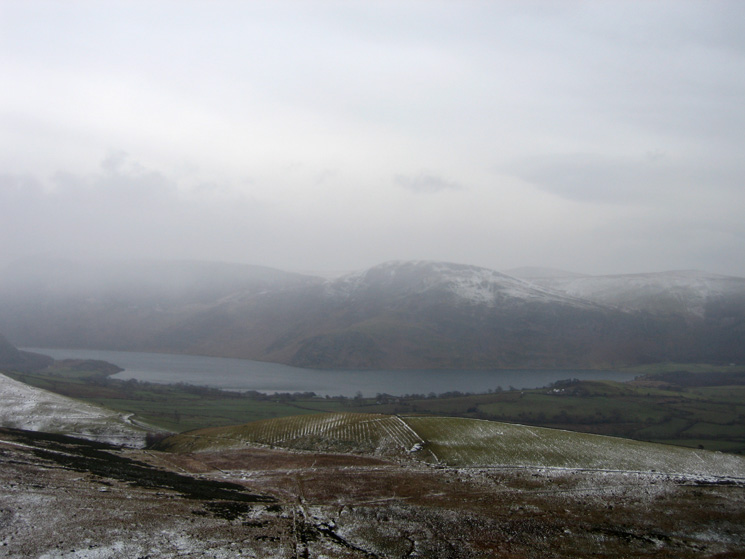
Whiteside, Grasmoor and the foot of Crummock Water
Owsen Fell and Burnbank Fell from our route off Carling Knott
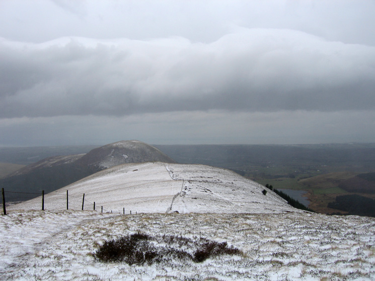
Blake Fell with Sharp Knott on the right from Burnbank Fell's summit
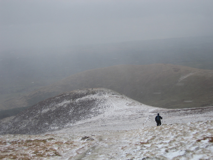
Leaving Burnbank Fell's summit, heading for Owsen Fell
Mockerkin Tarn, the Solway Firth and Scotland from Owsen Fell's summit
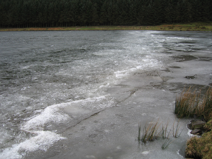
A partly frozen Cogra Moss
Blake Fell from Cogra Moss
Previous Walk: Grasmoor from Braithwaite (Sun 4 Feb 2007)
Next Walk: Alcock Tarn and Nab Scar (Sun 11 Feb 2007)