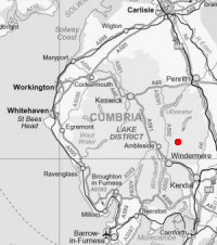
Kentmere Pike and Reservoir
Sun 8 Oct 2006
Route: Kentmere Village - Green Quarter - Shipman Knotts - Kentmere Pike - Harter Fell - Nan Bield Pass - Kentmere Reservoir - Hartrigg - Kentmere Village
Distance: 9.75 miles
Ascent: 2,550ft
Time: 5 hours 5 minutes
With: David Hall and Anne
Notes:
In the cloud on the tops, windy, rain to start but clearing up.
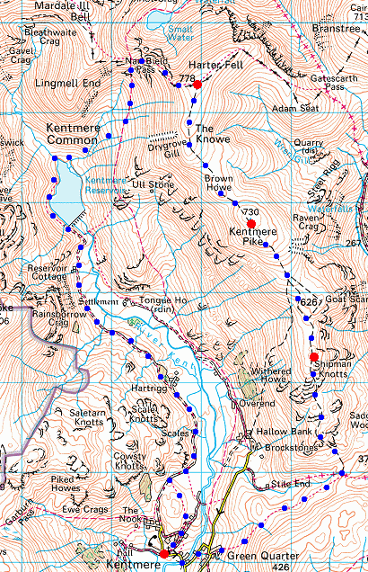
© Crown copyright. All rights reserved. Licence number AL100038401
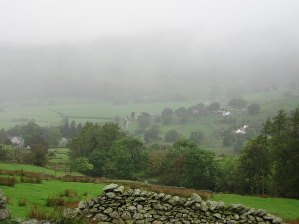
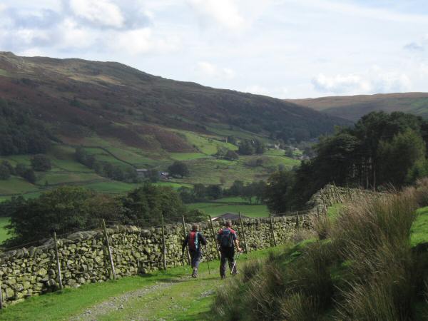
A damp start. Looking back down on Kentmere village from above Green Quarter
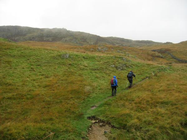
Heading up Shipman Knotts from the Kentmere - Sadgill Pass
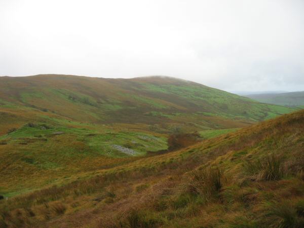
Green Quarter Fell from the ascent of Shipman Knotts
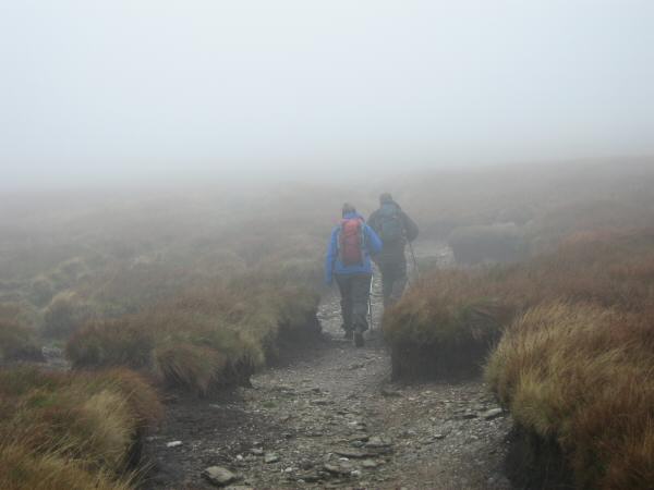
Somewhere between Shipman Knotts and Kentmere Pike
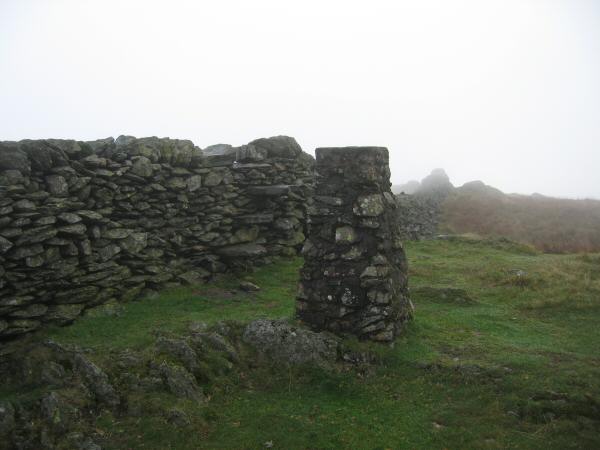
Kentmere Pike's trig point
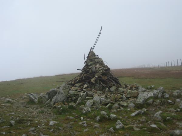
Harter Fell's summit cairn

Looking down on Kentmere Reservoir from the descent to Nan Bield Pass
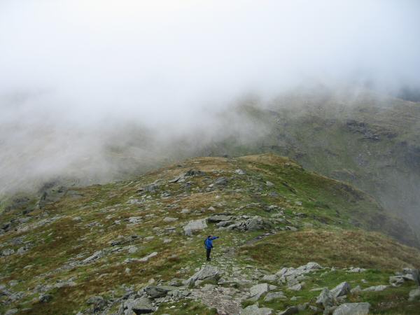
Anne pointing out that she can actually see a view at last!
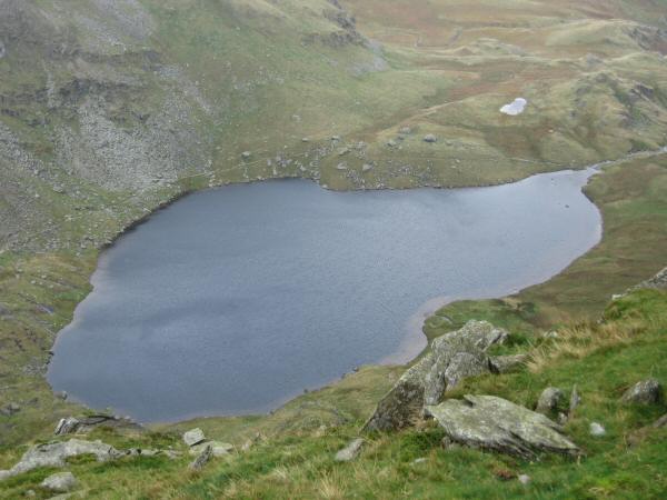
Small Water
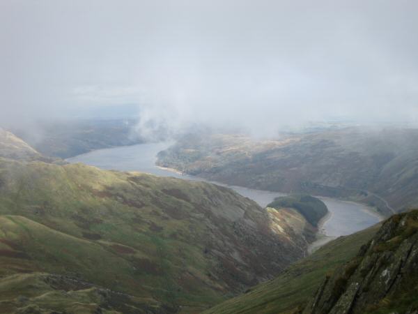
Haweswater from the descent to Nan Bield Pass from Harter Fell
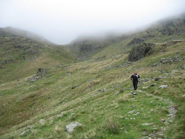
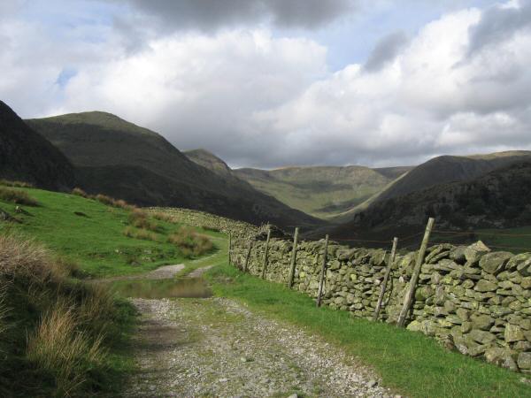
Descending the Kentmere side of the Nan Bield Pass
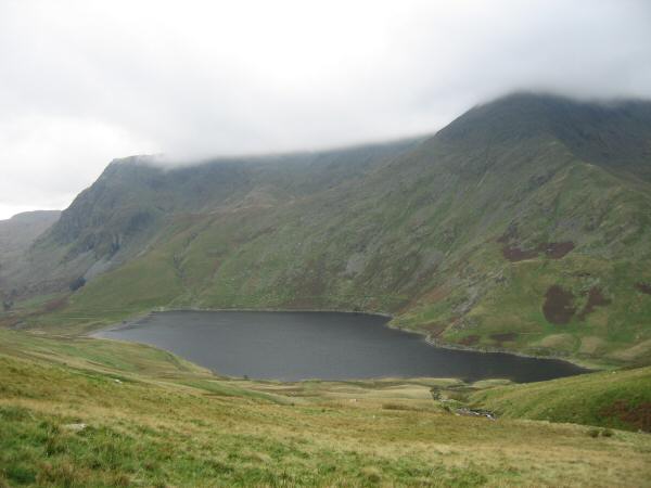
Kentmere Reservoir with the tops of Yoke and Ill Bell in cloud
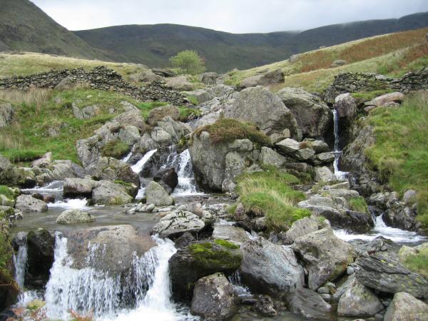
The River Kent above Kentmere Reservoir
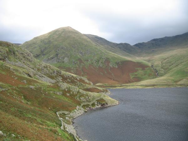
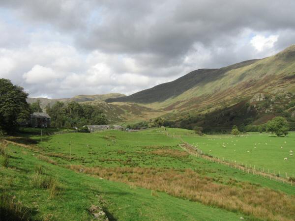
Lingmell End and Nan Bield Pass from Kentmere Reservoir
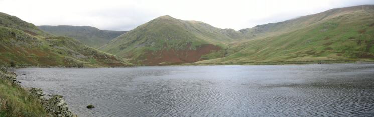
Kentmere Reservoir
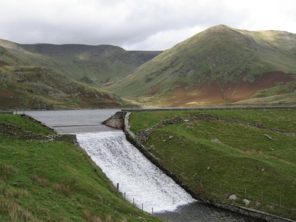
The outflow of Kentmere Reservoir
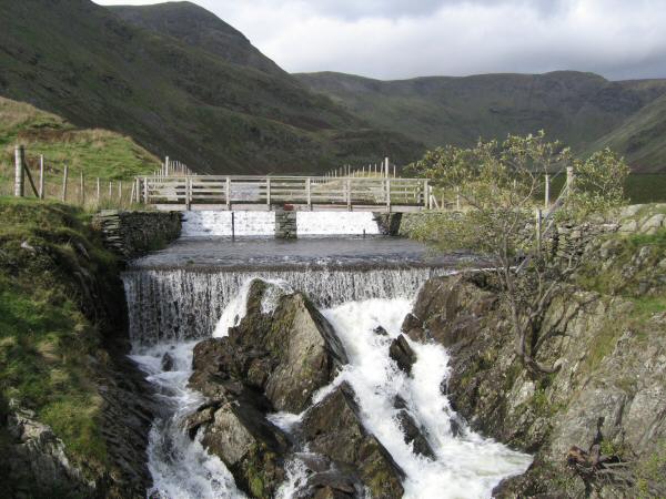
The outflow of Kentmere Reservoir
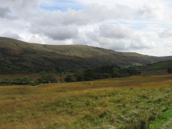
Looking across the valley floor to Shipman Knotts
Thornthwaite Crag (far left), High Street (flat skyline middle) and Lingmell End leading to Mardale Ill Bell
Heading for Kentmere village
Looking back up the valley to Ill Bell, Froswick, Thornthwaite Crag, High Street and Lingmell End
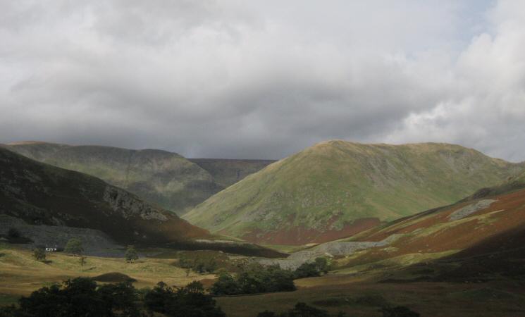
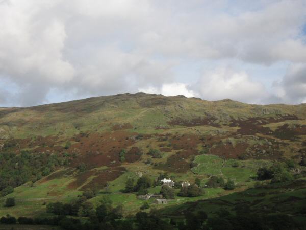
Hartrigg on the left and Kentmere Pike in shadow on the right
Hallow Bank on the slopes of Shipman Knotts
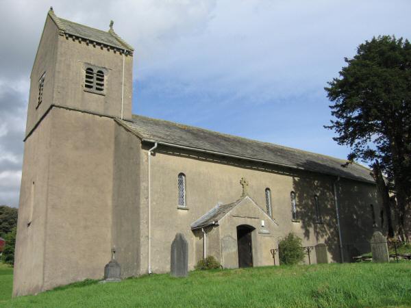
St Cuthbert's Parish Church, Kentmere
Previous Walk: A Loweswater Round (Sat 7 Oct 2006)
Next Walk: Longside Edge and Skiddaw (Sat 14 Oct 2006)