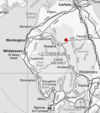
Double Blencathra
Sat 8 Jul 2006
Route: Threlkeld - Hall's Fell Ridge - Blencathra - Atkinson Pike - Foule Crag - Sharp Edge - Scales Tarn - Lower slopes of Scales Fell - Scales - Doddick Fell - Upper part of Scales Fell - Blencathra - Gategill Fell Top - Knowe Crags - Blease Fell - Threlkeld
Distance: 9.00 miles
Ascent: 4,500ft
Time: 6 hours 30 minutes
With: Andy Wallace
Notes:
Overcast, windy at times
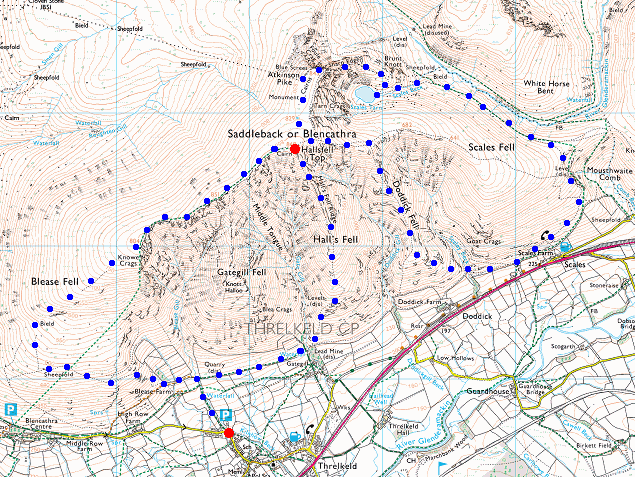
© Crown copyright. All rights reserved. Licence number AL100038401
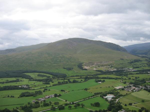
Clough Head from the lower slopes of Hall's Fell Ridge
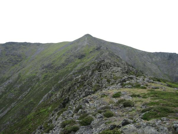
Hall's Fell Ridge leads directly to the summit of Blencathra
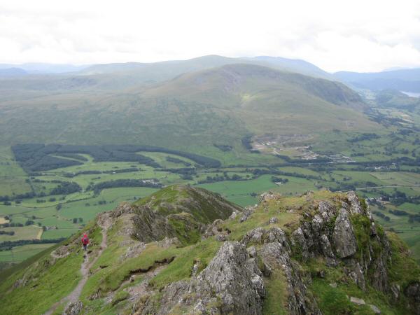
The view south to the Dodds from Hall's Fell Ridge
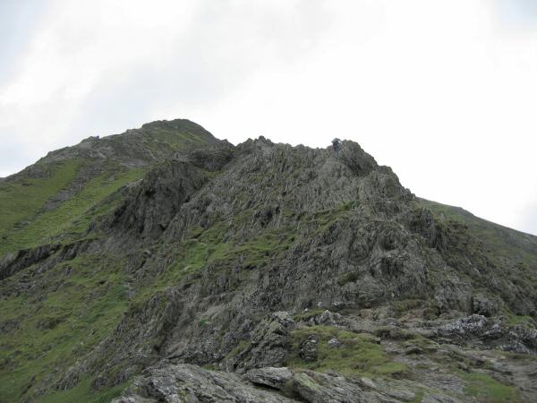
Hall's Fell Ridge
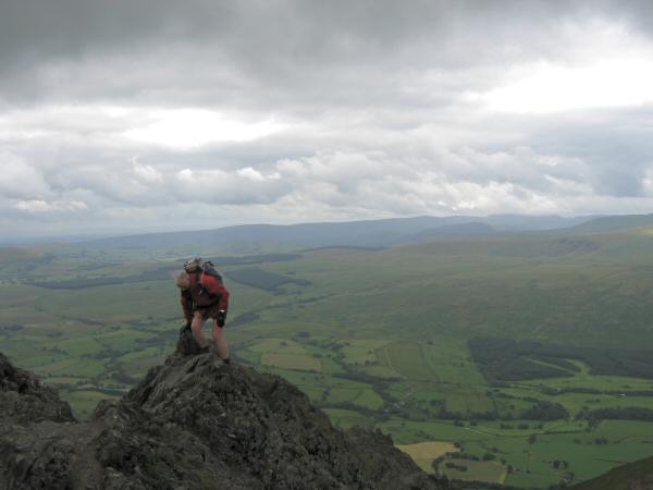
Ascending Hall's Fell Ridge
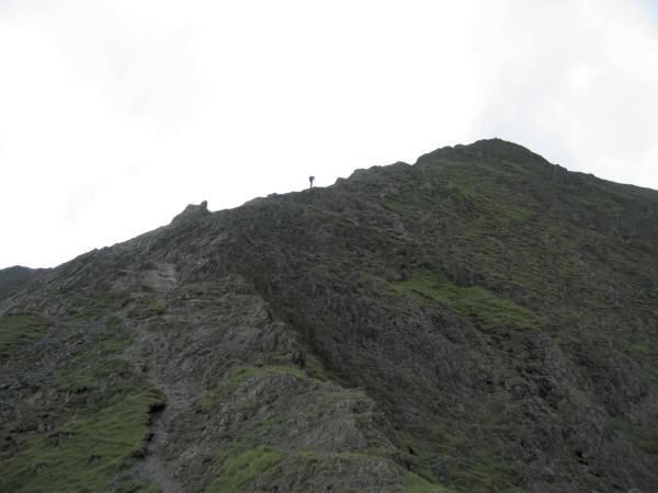
Looking up Hall's Fell Ridge to Blencathra's summit
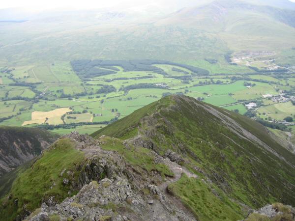
Hall's Fell Ridge
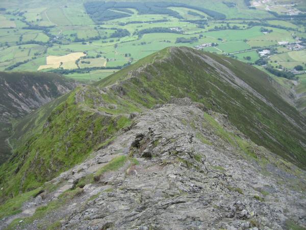
Hall's Fell Ridge
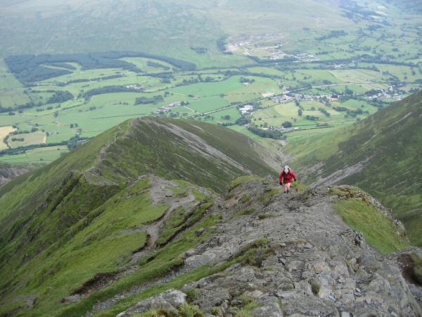
Ascending Hall's Fell Ridge
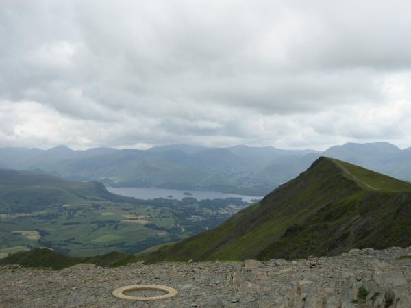
Gategill Fell Top with Derwent Water and the north western fells beyond from Hallsfell Top (Blencathra's summit)
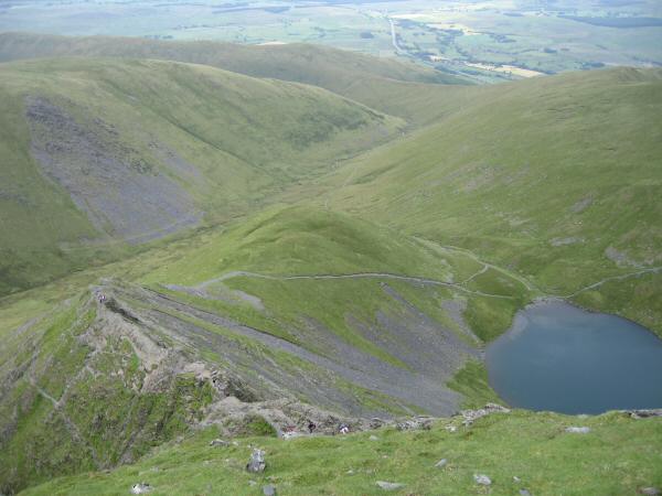
Looking down on Sharp Edge and ScalesTarn
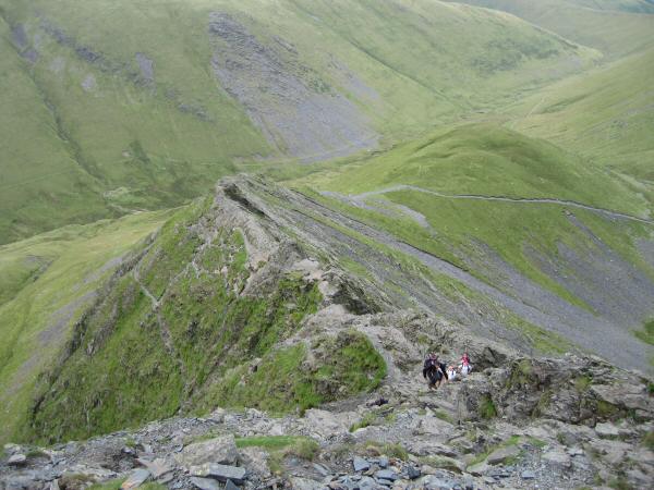
Sharp Edge
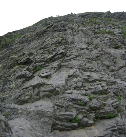
Looking back up Foule Crag
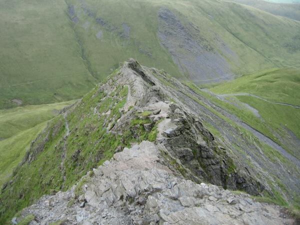
Sharp Edge
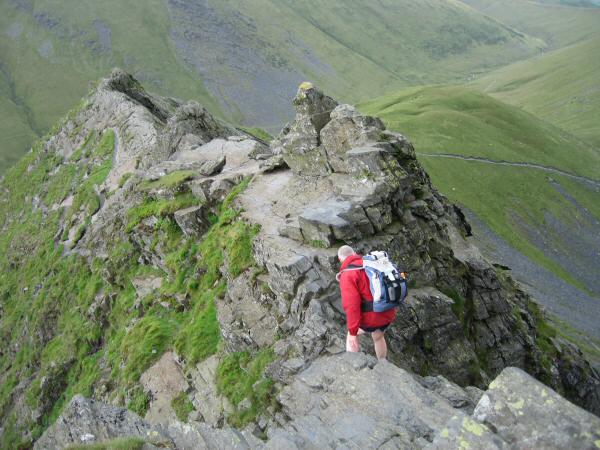
Crossing the notch to get to the 'awkward slab' and 'Pillar-box'
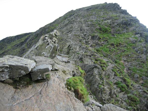
Looking back to the 'Pillar Box' and 'Awkward Slab', Sharp Edge, Blencathra
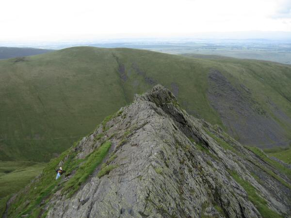
'The Pavement', Shap Edge, Blencathra
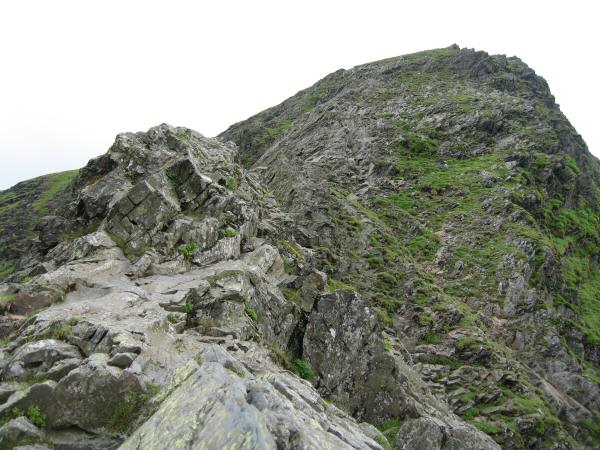
Looking back up Sharp Edge towards Foule Crag
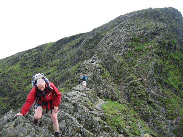
Sharp Edge, Blencathra

The end (or start if ascending) of Sharp Edge
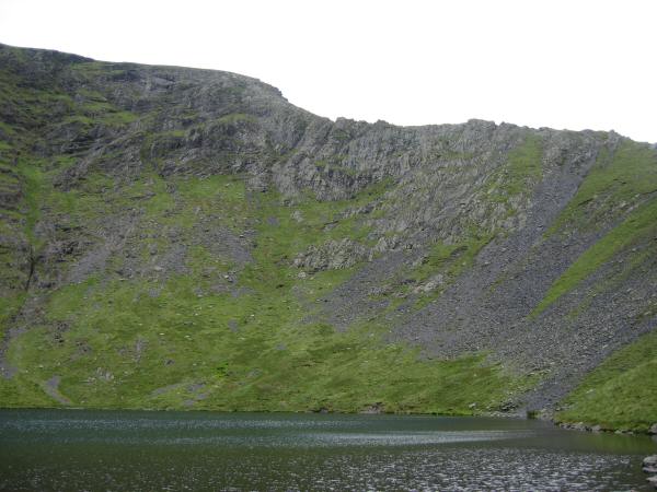
Sharp Edge from Scales Tarn
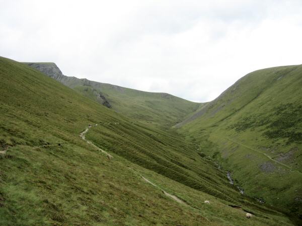
The River Glenderamackin with Sharp Edge on the left
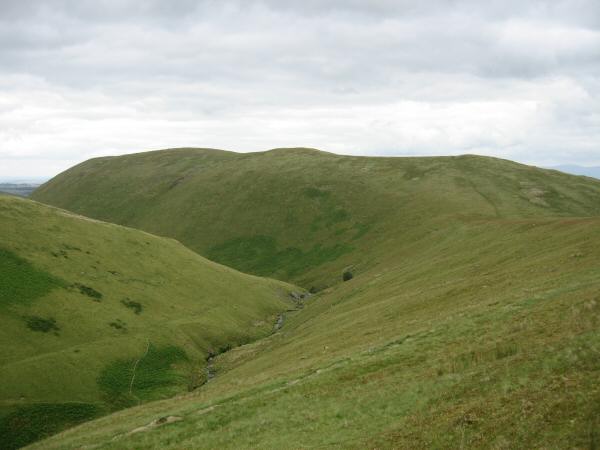
Souther Fell
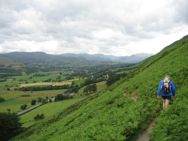
Descending to Scales
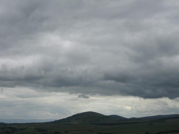
Great Mell Fell
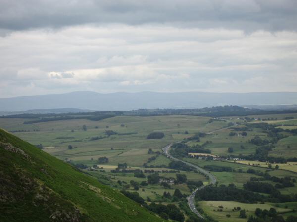
The A66 with the North Pennines in the distance from Doddick Fell
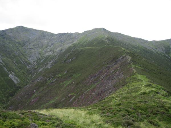
Doddick Fell with Hallsfell Top (Blencathra's summit) on the left
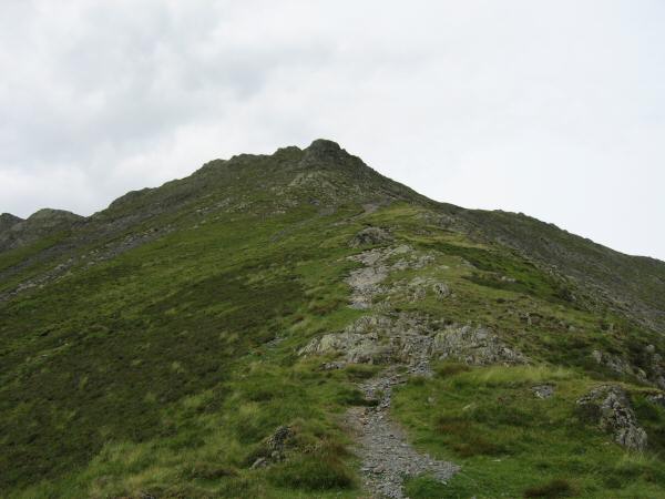
Doddick Fell
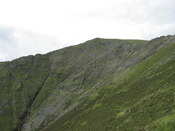
Hallsfell Top from Doddick Fell
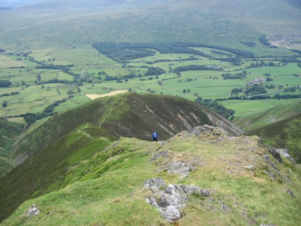
Looking down Doddick Fell
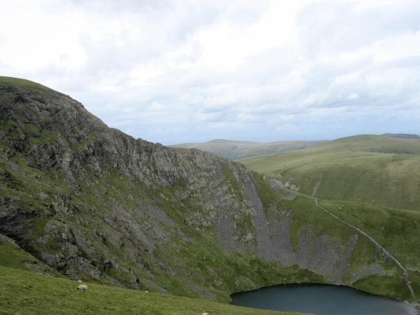
Sharp Edge and Scales Tarn from Scales Fell
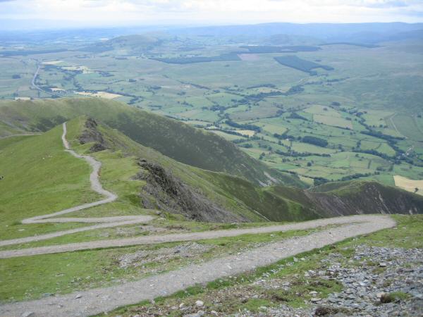
The zig-zags at the top of Scales Fell
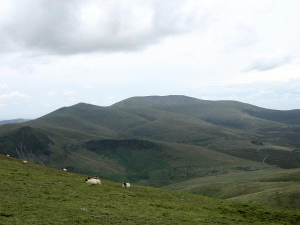
Skiddaw from Blencathra's summit
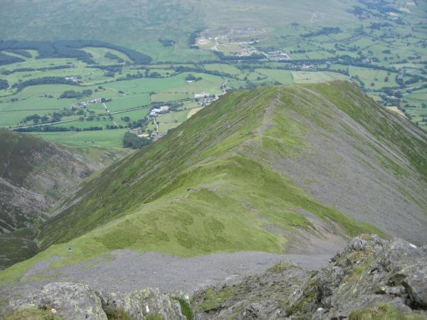
Looking down on Gategill Fell
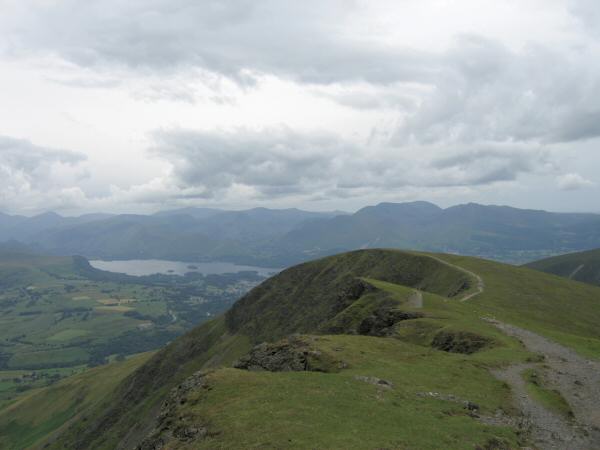
Knowe Crags from Gategill Fell Top
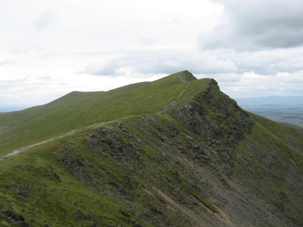
Looking back to Gategill Fell Top from Blease Fell
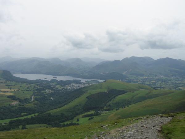
Latrigg, Derwent Water and the north western fells from the descent off Blease Fell
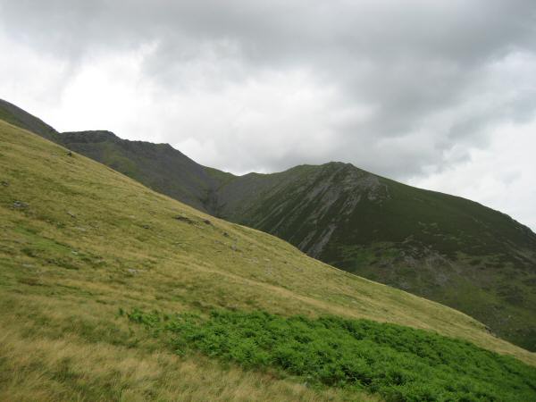
Gategill Fell from above Threlkeld
Previous Walk: Great Mell Fell (Tue 4 Jul 2006)
Next Walk: Steel Knotts (Tue 11 Jul 2006)
