Caw Fell plus
Sun 28 May 2006
Route: Coldfell Gate, Kinniside Common - Monks Bridge - Tongue How - Worm Gill - Caw Fell - Iron Crag - Whoap - Lank Rigg - Whoap - Crag Fell - Grike - Kinniside Stone Circle
Distance: 14.50 miles
Ascent: 3,200ft
Time: 6 hours 50 minutes
With: David Hall and Anne
Notes:
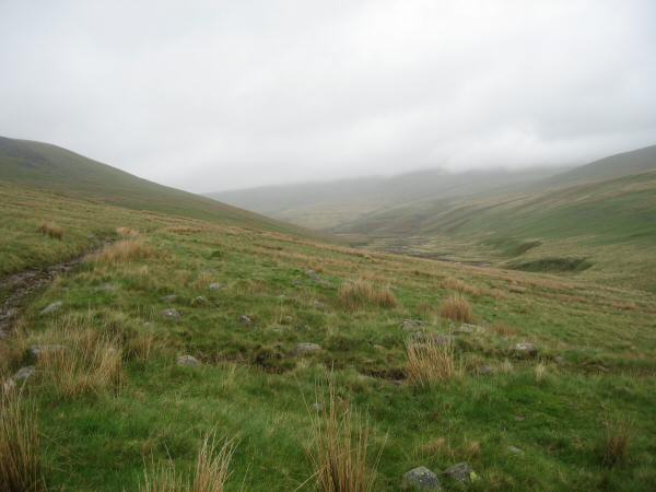
Low cloud and drizzle to start, cloud lifting and breaking to give blue sky and sunshine. Windy all day
© Crown copyright. All rights reserved. Licence number AL100038401
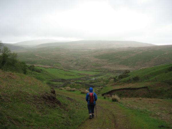
Damp and low cloud to start, heading down to cross the River Calder
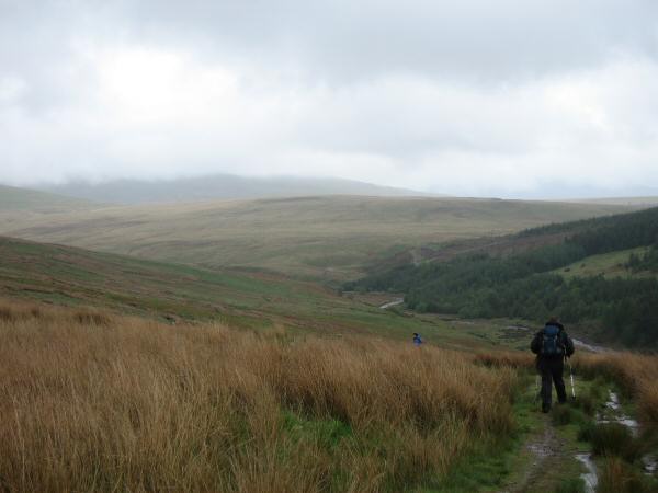
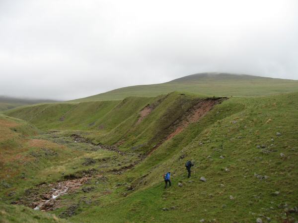
Heading along a track above Worm Gill on our way to Caw Fell
Iron Crag (to be our second top of the day) is in the cloud in the middle of the photo
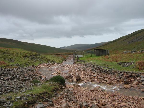
The 'Intake Works', where Long Grain joins Bleaberry Gill
Starting the ascent of Caw Fell
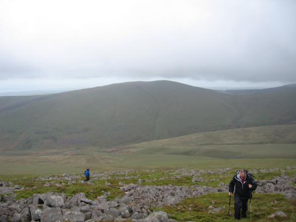
Lank Rigg from our ascent of Caw Fell
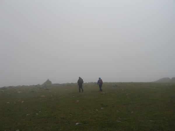
Approaching Caw Fell's summit cairn
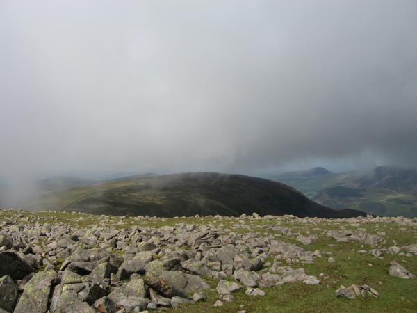
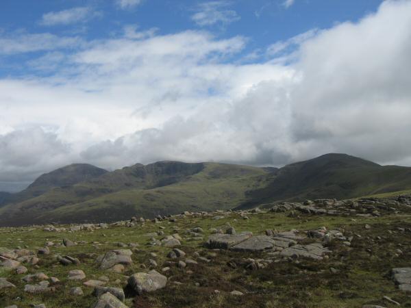
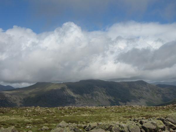
Iron Crag appears as the cloud starts to lift and break (From Caw Fell's summit)
Ascending Iron Crag
Approaching Iron Crag's summit cairn
Pillar, Steeple, Scoat Fell and Haycock from Iron Crag's summit
Red Pike, High Stile and High Crag
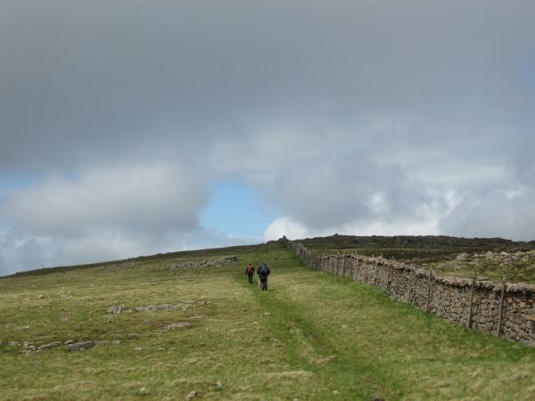
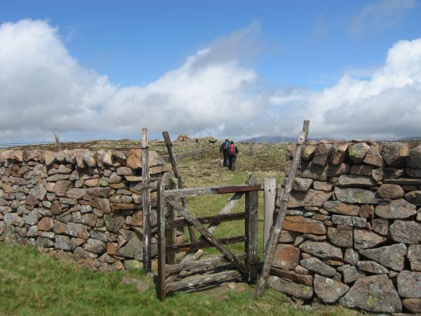
Following the 'Ennerdale Fence' off Iron Crag
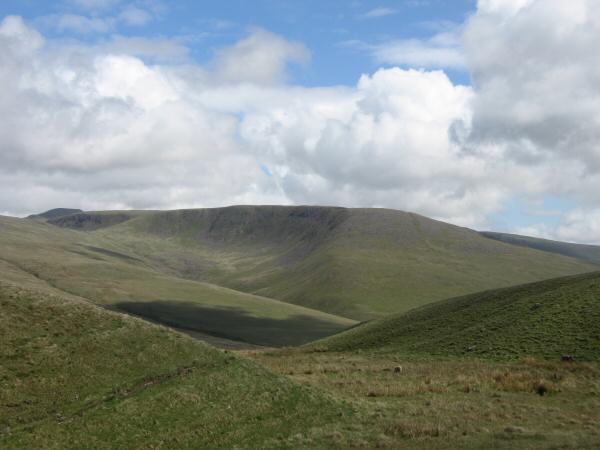
Caw Fell from the col between Whoap and Lank Rigg
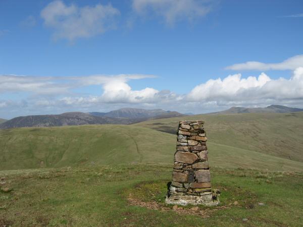
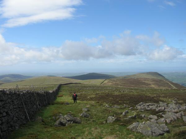
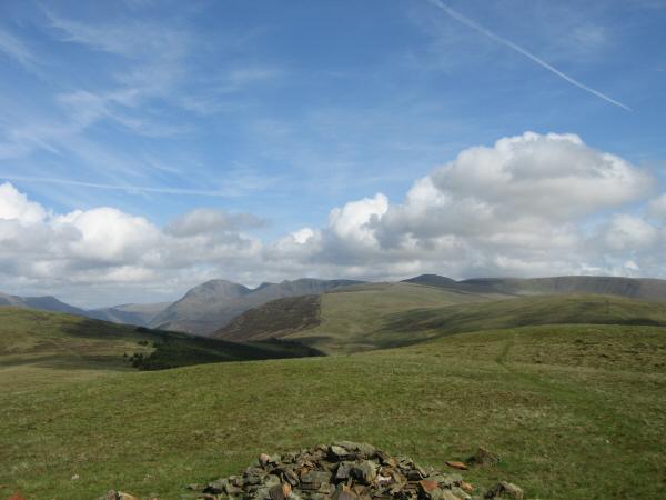
Looking north east from Lank Rigg's summit trig point.

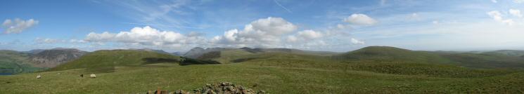
360 Panorama from Lank Rigg's summit
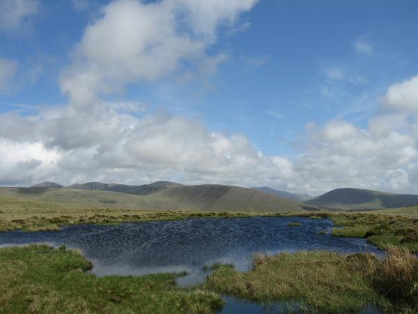
Caw Fell centre with Seatallan on the right from Lank Rigg's summit tarn
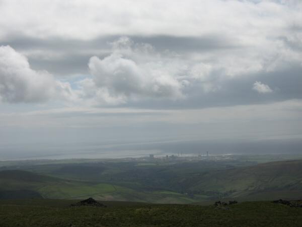
Sellafield and the Irish Sea from Lank Rigg's summit
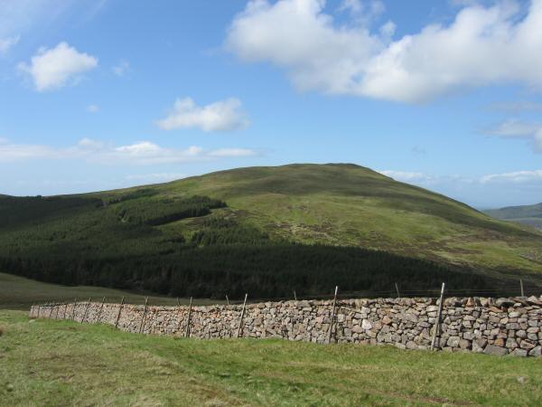
Crag Fell
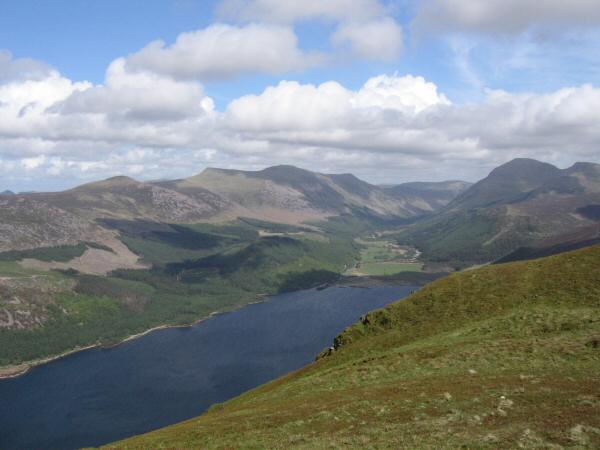
Ennerdale from Crag Fell
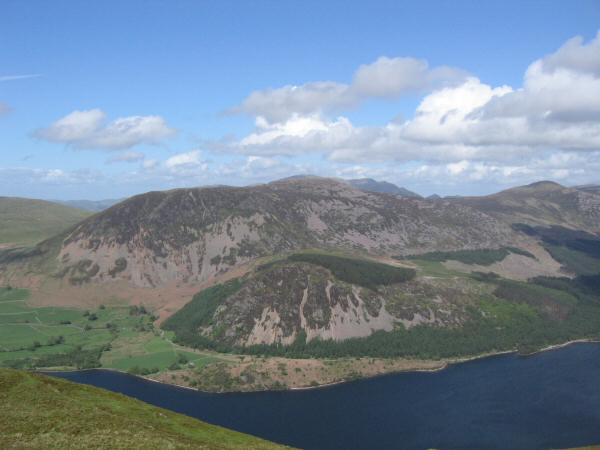
Looking across Ennerdale Water to Great Borne from Crag Fell's summit
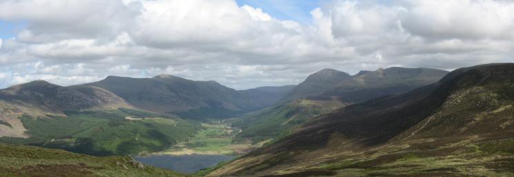
Ennerdale Water, Starling Dodd, the High Stile ridge and Pillar from Crag Fell's summit
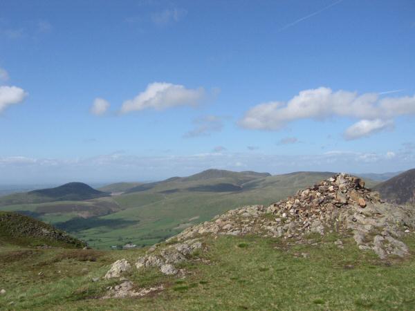
Knock Murton (on the left in shadow) and Blake Fell (centre) from Crag Fell's summit cairn
Looking towards Pillar from Grike's summit
Easterly panorama from Grike's summit
Previous Walk: Arthur's Pike and Bonscale Pike (Wed 24 May 2006)
Next Walk: Ling Fell and Sale Fell (Thu 1 Jun 2006)