Carrock Pike and High Pike
Fri 14 Apr 2006
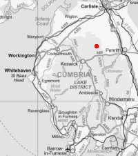
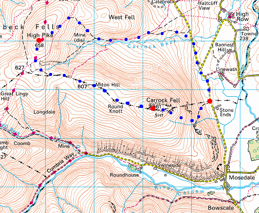
Route: Stone Ends, Mosedale - Further Gill Sike - Carrock Fell - Round Knott - Miton Hill - High Pike - Driggith Mine - Carrock Beck - Carrock Beck Ford - road - Stone Ends
Distance: 6.00 miles
Ascent: 1,750ft
Time: 2 hours 40 minutes
With: Anne
Notes:
Blue sky and sunshine to start but becoming overcast with sunny intervals.
© Crown copyright. All rights reserved. Licence number AL100038401
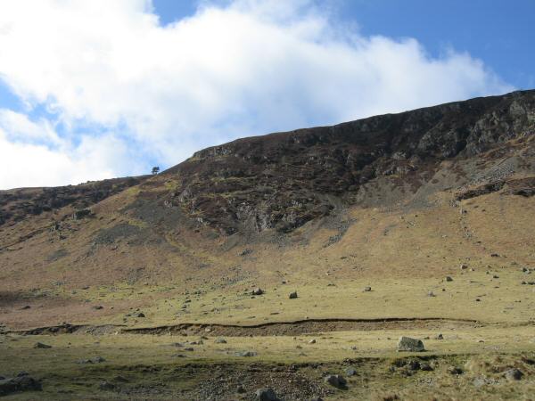
Carrock Fell from the road near Stone Ends
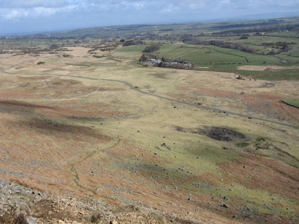
Looking back down to the road
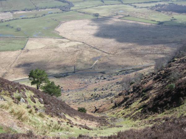
Looking back down our line of ascent (Further Gill Sike)
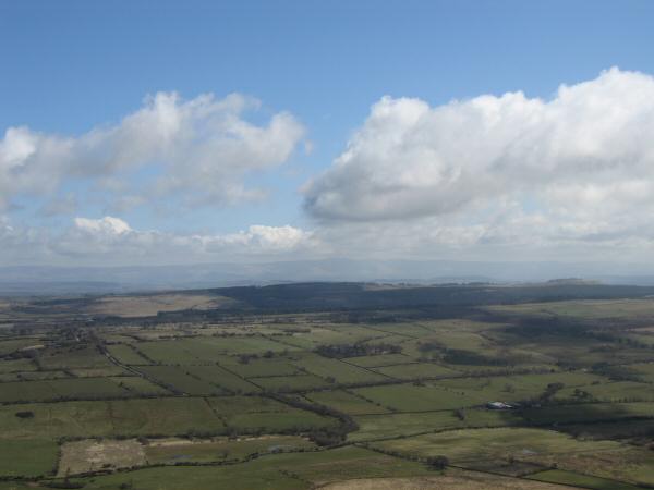
The view east to the North Pennines from Carrock Fell
Ascending Carrock Fell
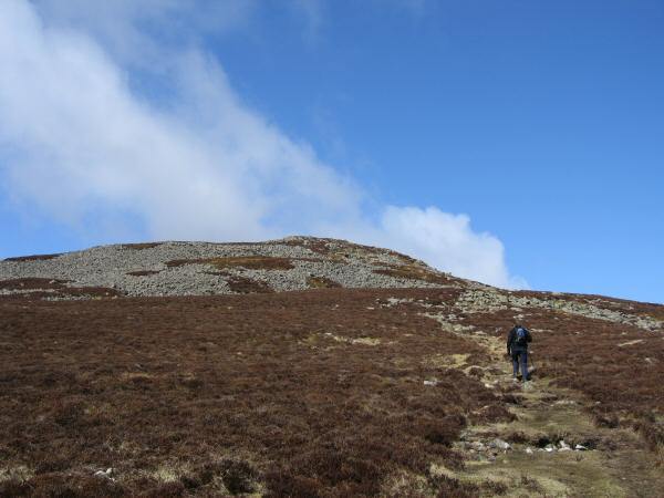
Looking towards Carrock Fell's summit
Carrock Fell's summit, with Blencathra to the left of the cairn
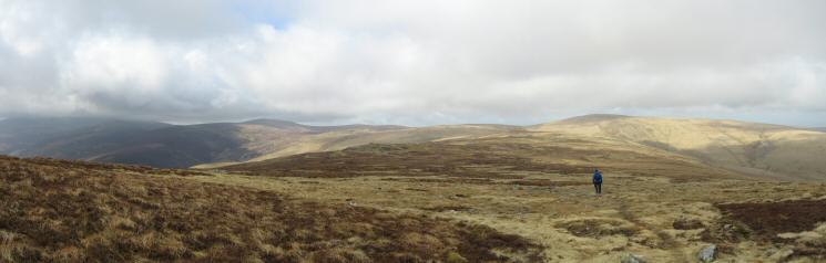
Heading along the ridge to High Pike
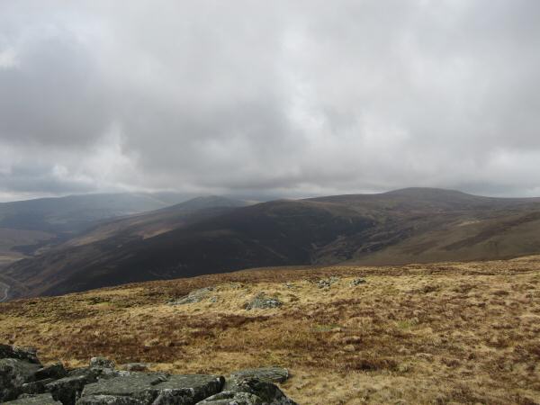
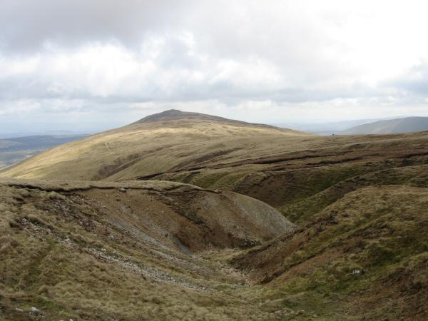
Looking back to Carrock Fell from near Round Knott
Skiddaw in cloud with Knott on the right skyline from Round Knott
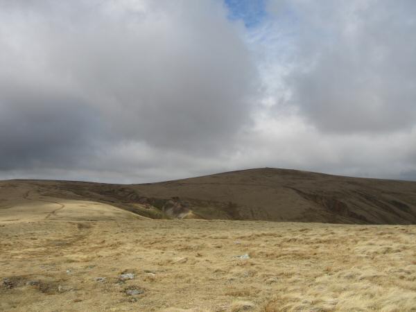
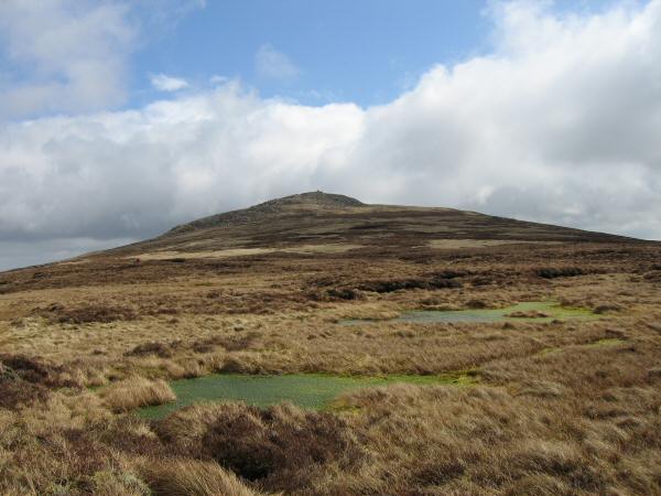
Looking across to High Pike
Looking back to Carrock Fell from the top of Drygill
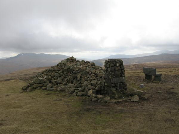
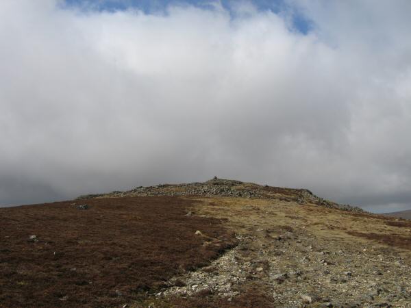
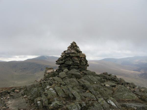
High Pike's summit
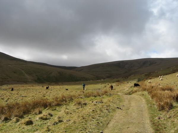
The valley of Carrock Beck
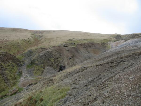
Old mine workings
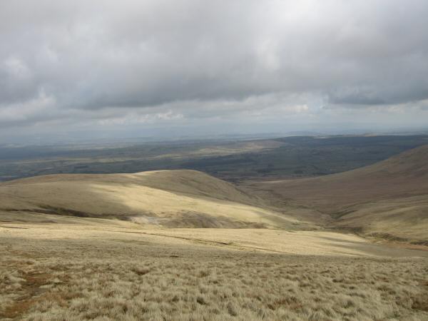
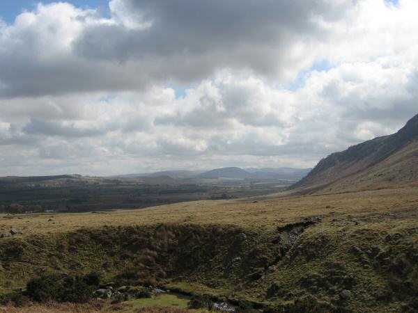
Looking back up the valley of Carrock Beck with High Pike the high point on the right skyline
Looking south towards the conical Great Mell Fell
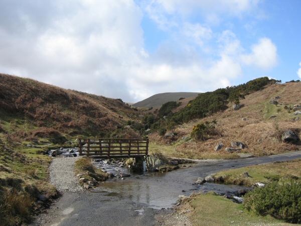
Ford across Carrock Beck on the Hesket Newmarket to Mungrisdale road
Previous Walk: Binsey (Thu 13 Apr 2006)
Next Walk: Haycock plus from Wasdale (Sat 15 Apr 2006)