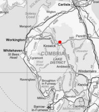
Latrigg
Sun 25 Dec 2005
Route: Briar Rigg, Keswick - Latrigg - Brundholme - Keswick Railway footpath - Fitz Park - Briar Rigg
Distance: 5.50 miles
Ascent: 950ft
Time: 3 hours
With: Anne, Mum and Dad
Notes:
Blue sky and sunshine to start but cloud building
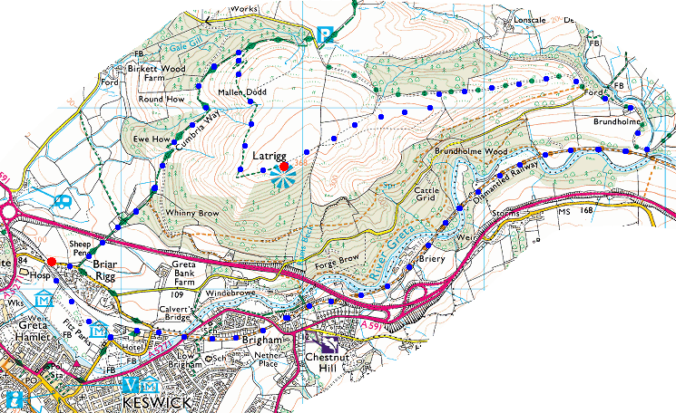
© Crown copyright. All rights reserved. Licence number AL100038401
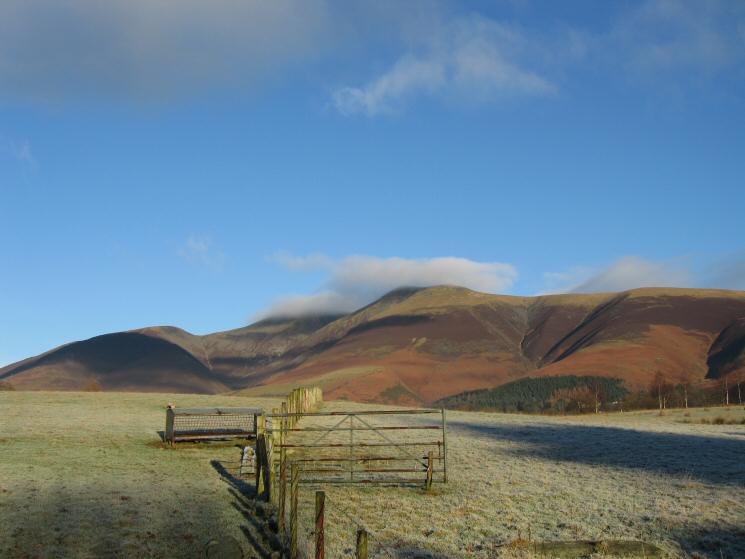
Skiddaw with a touch of cloud on its top
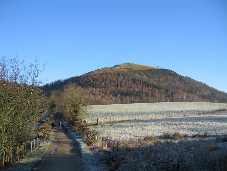
Latrigg from Spoony Green Lane
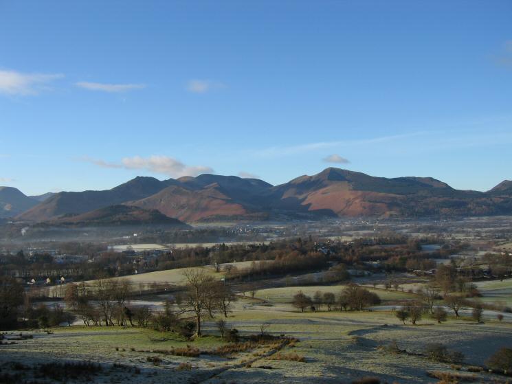
The north western fells

The north western fells
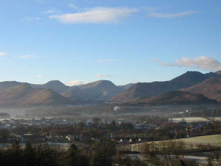
Catbells, Hindscarth, Robinson, Rowling End and Causey Pike
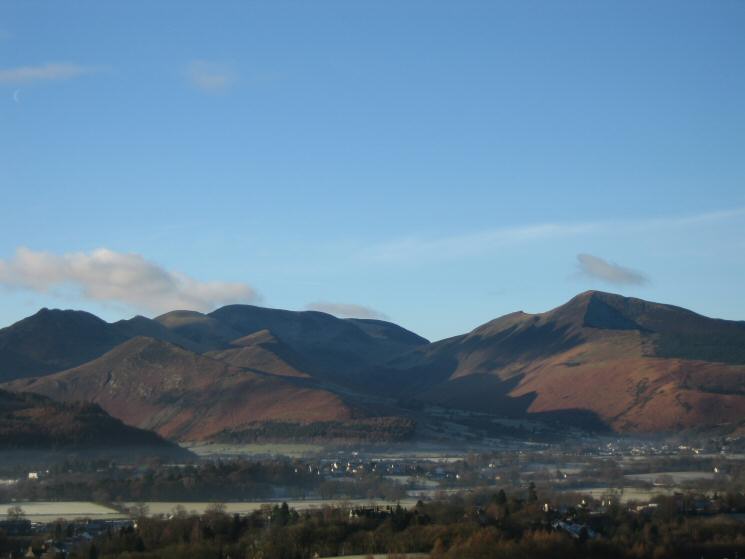
The Causey Pike to Eel Crag ridge with Barrow in front and Grisedale Pike on the right
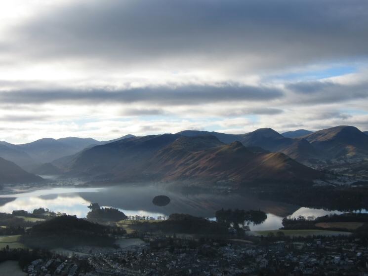
Derwent Water from Latrigg
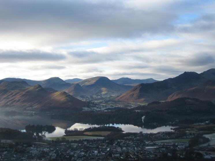
Looking over Derwent Water to the Newlands valley fells
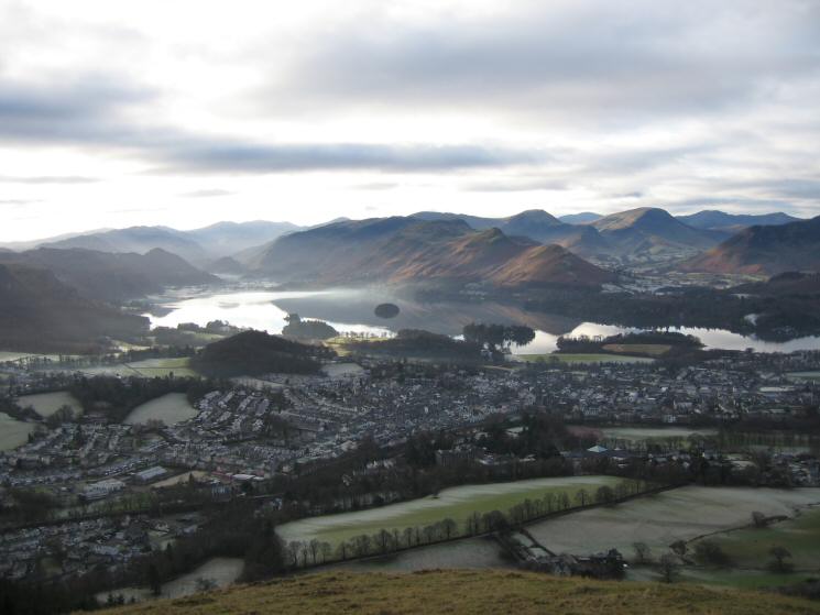
Keswick and Derwent Water from Latrigg
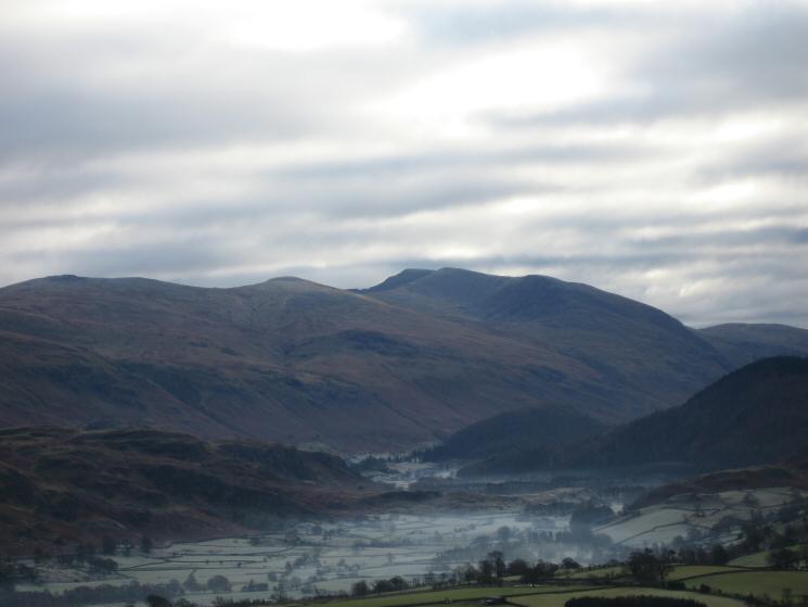
Zooming in on Helvellyn from Latrigg's summit
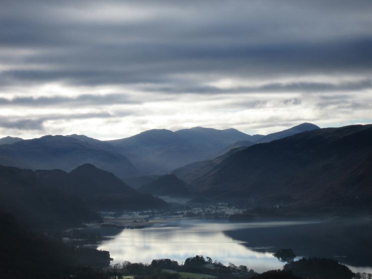
The high fells of Lakeland. Bowfell on the far left to Great Gable on the right with Scafell Pike just right of centre
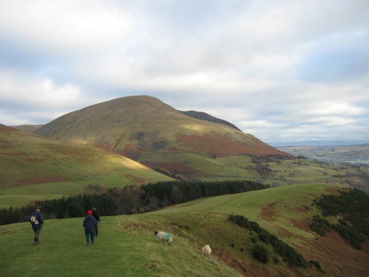
Descending Latrigg's east ridge with Blencathra ahead
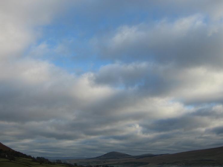
Great Mell Fell
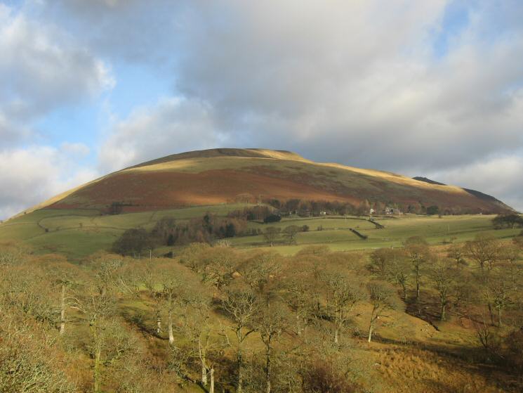
Blease Fell, the western end of Blencathra
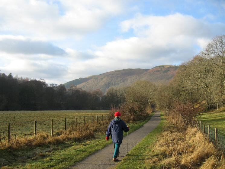
Heading back to Keswick along the old railway line
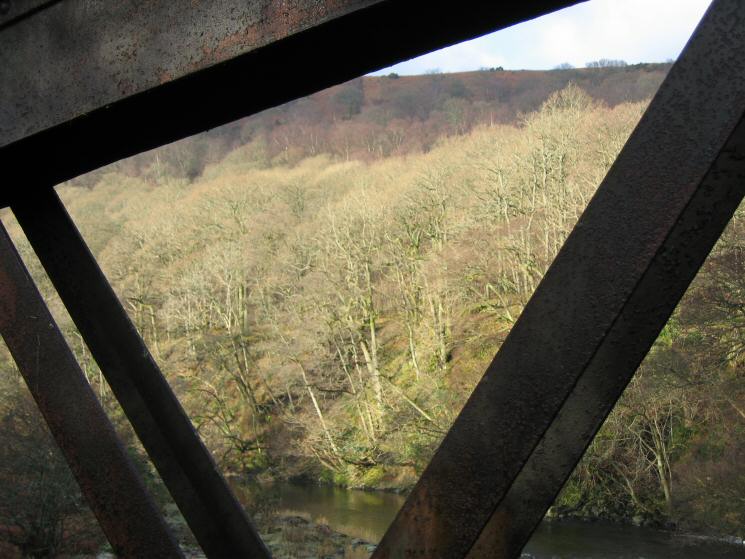
Bridge across the River Greta
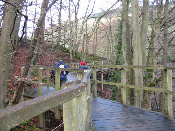
The walkway above the River Greta. The old railway tunnel is filled in.
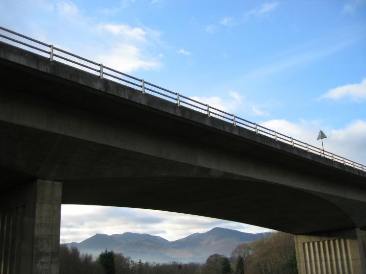
The north western fells seen through the arches of the A66 Greta road bridge
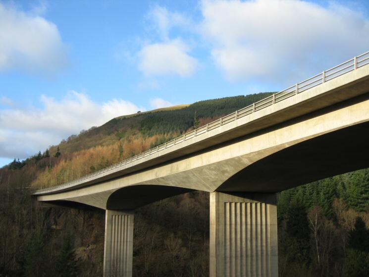
Latrigg from under the A66 road bridge
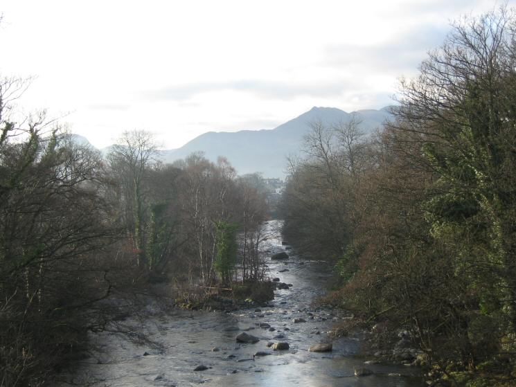
The River Greta and Causey Pike
Previous Walk: Langstrath (Sat 24 Dec 2005)
