Mellbreak
Sat 19 Nov 2005
Route: Loweswater Village - Mellbreak (northern top) - Mellbreak - Crummock Water - Loweswater Village
Distance: 5.75 miles
Ascent: 1,500ft
Time: 4 hours 15 minutes
With: Anne and Ann & Roger Hiley
Notes:
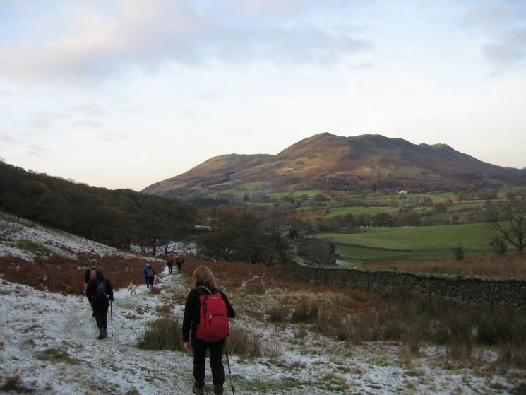
Blue sky and sunshine to start but cloud building
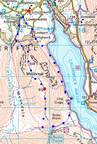
© Crown copyright. All rights reserved. Licence number AL100038401
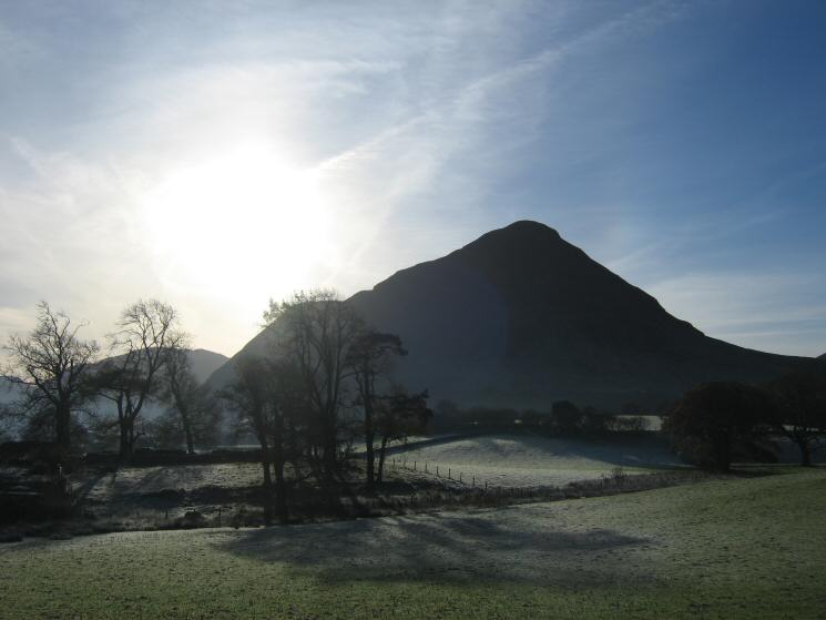
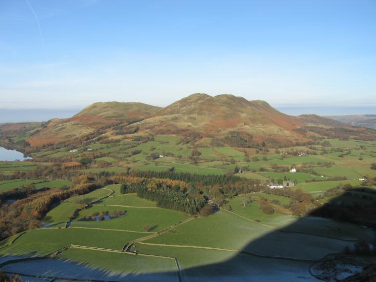
Mellbreak from Loweswater
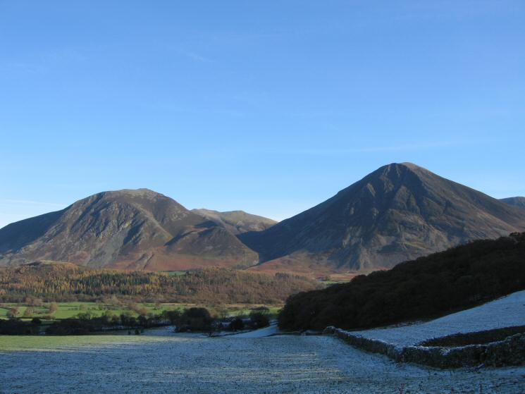
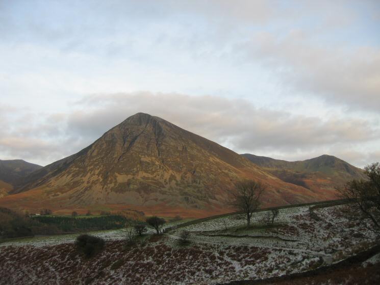
Whiteside and Grasmoor with Hopegill Head between seen across frostly fields
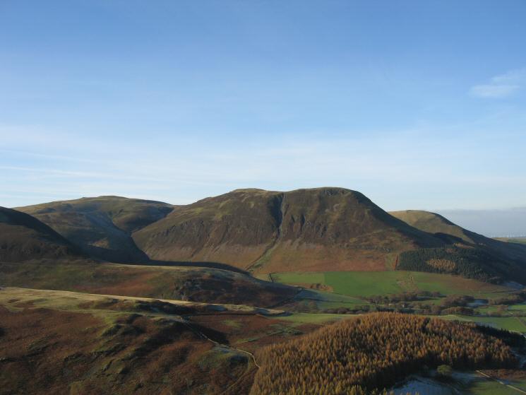
Darling Fell and Low Fell from Mellbreak's north face
Whiteside and Grasmoor from Mellbreak
Carling Knott with Blake Fell on the left
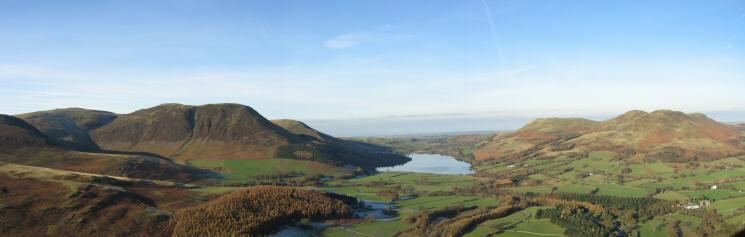
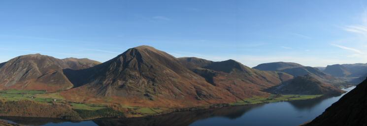
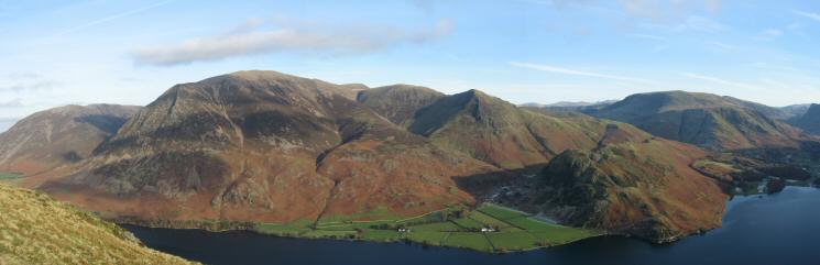
Loweswater fells panorama from Mellbreak
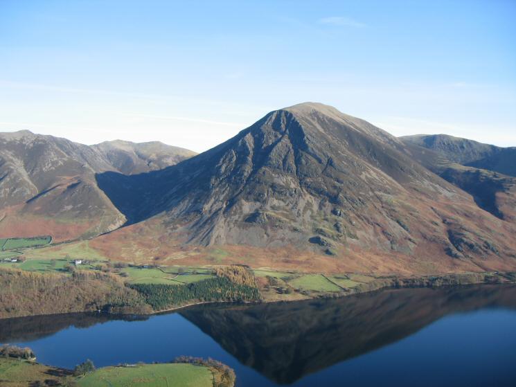
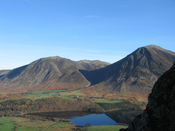
Grasmoor seen across Crummock Water
The Grasmoor fells seen across Crummock Water
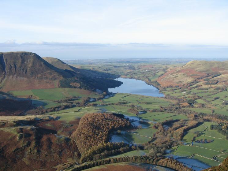
Loweswater from Mellbreak
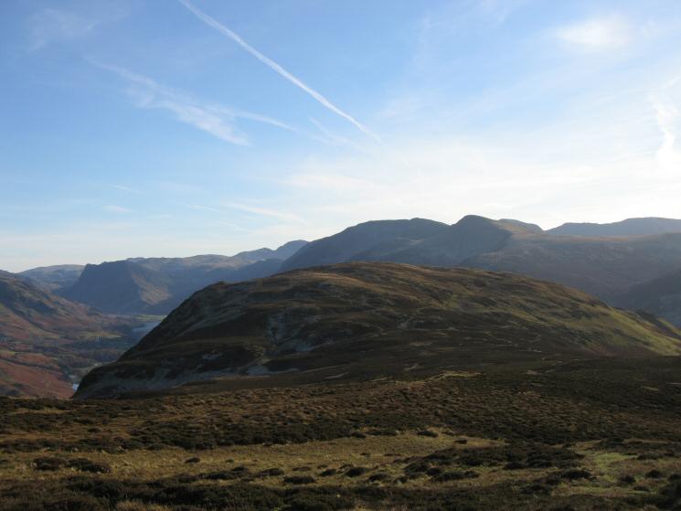
The Grasmoor fells from near Mellbreak's north top

360 Panorama from Mellbreak's northern summit
Mellbreak's southern and higher top from its northern top
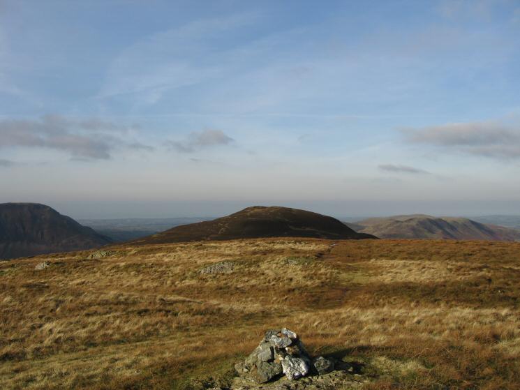
Mellbreak's northern top from the southern top

360 Panorama from Mellbreak's southern summit
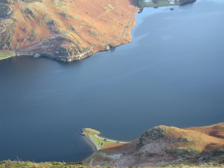
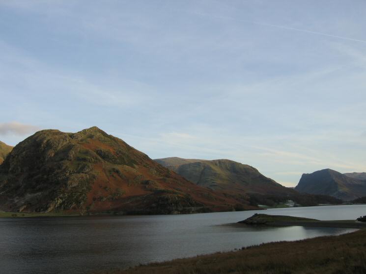
Looking down on Low Ling Crag sticking out into Crummock Water with Hause Point on the far side
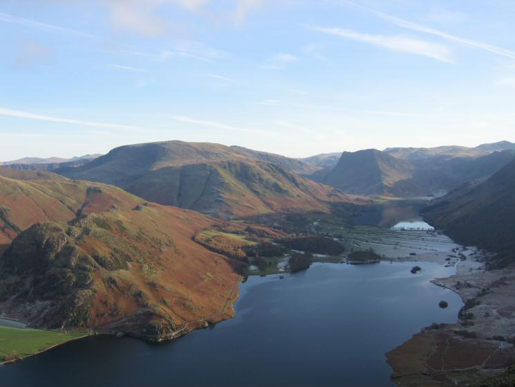
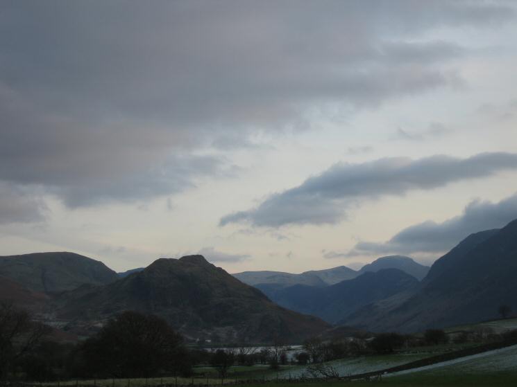
Crummock Water with Buttermere beyond from Mellbreak
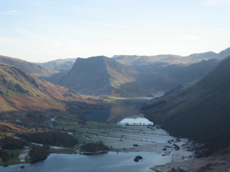
Zooming in on Buttermere and Fleetwith Pike
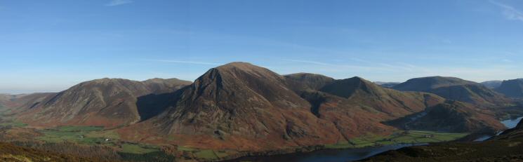
The Grasmoor fells from Mellbreak
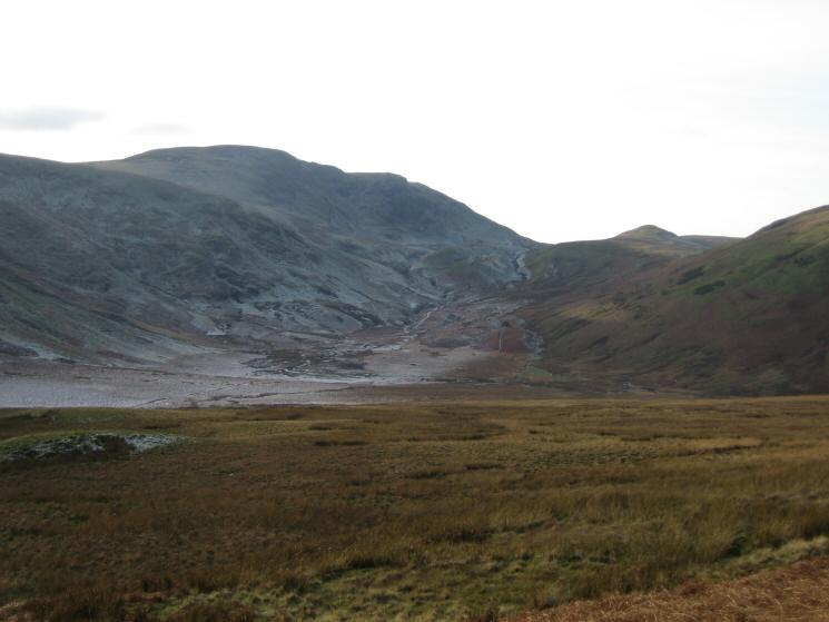
Great Borne and the route to Floutern Pass with Floutern Cop on the right
Rannerdale Knotts, Robinson and Fleetwith Pike from near Low Ling Crag
Heading back to Loweswater
Grasmoor from near Highpark
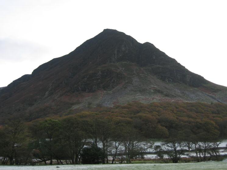
Mellbreak's 'north face'
Rannerdale Knotts, the pointed top of Green Gable and Great Gable behind Haystacks
Previous Walk: Barf and Lord's Seat (Sun 13 Nov 2005)
Next Walk: Ullscarf from Watendlath (Sun 20 Nov 2005)