Rough Crag and Blea Water
Sat 13 Aug 2005
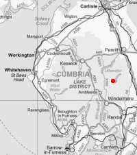
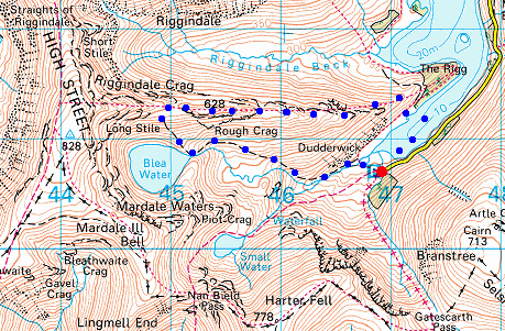
Route: Mardale Head - Haweswater - Rough Crag - Caspel Gate Tarn - Blea Water - Mardale Head
Distance: 3.50 miles
Ascent: 1,350ft
Time: 2 hours 15 minutes
With: On Own
Notes:
Sunshine and a short rain shower. Windy on the ridge
© Crown copyright. All rights reserved. Licence number AL100038401
Looking across Haweswater to Riggindale
The Rigg
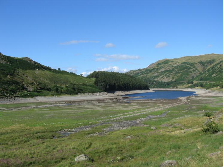
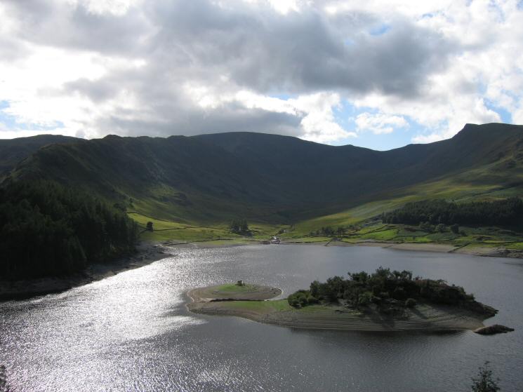
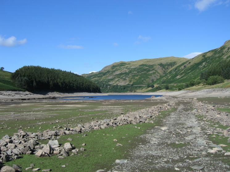
Mardale Head with a low Haweswater
Old road, Mardale Green
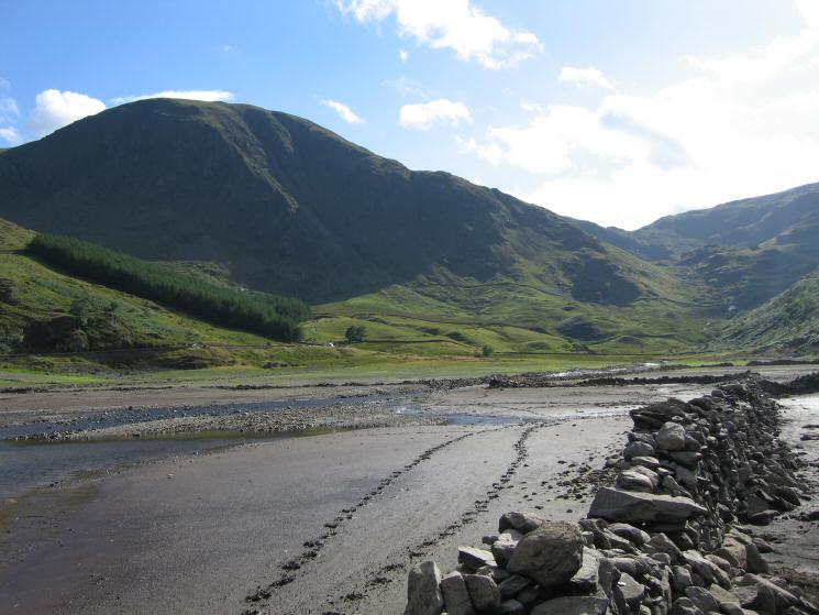
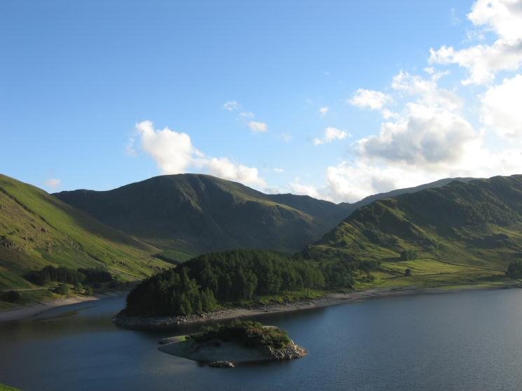
Harter Fell from Haweswater Reservoir
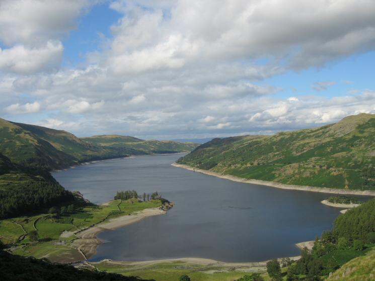
Haweswater from the ascent of Rough Crag
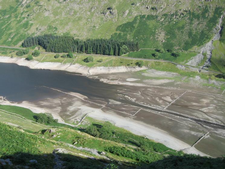
Looking down on the head of Haweswater with the old walls out of the water
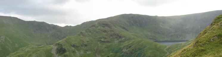
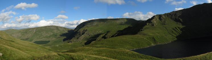
Nan Beild Pass (with Small Water just visible) and Mardale Ill Bell (with Blea Water below)
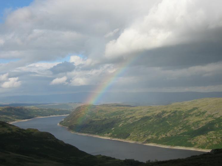
Haweswater rainbow
Looking across Riggindale to Kidsty Pike
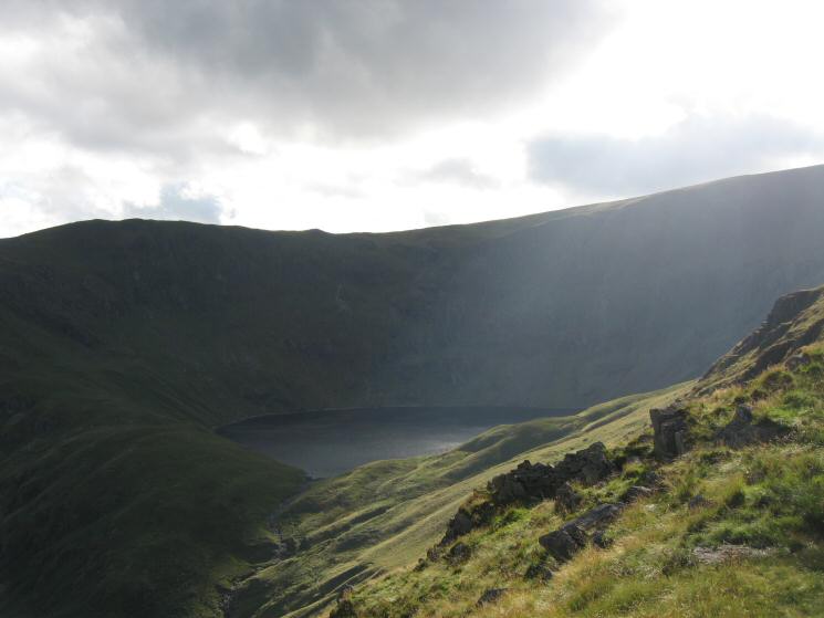
Blea Water from Rough Crag
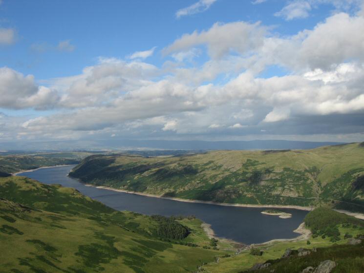
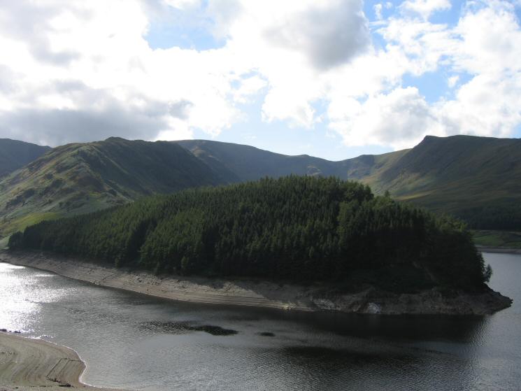
Haweswater with the North Pennines in the distance
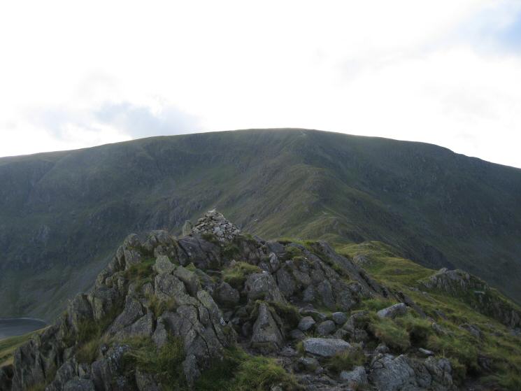
High Street from Rough Crag's summit
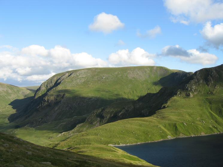
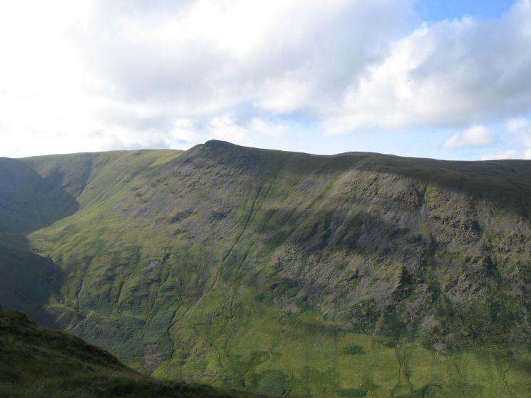
Harter Fell from the descent to Blea Water
Selside Pike, Branstree, Harter Fell and Mardale Ill Bell
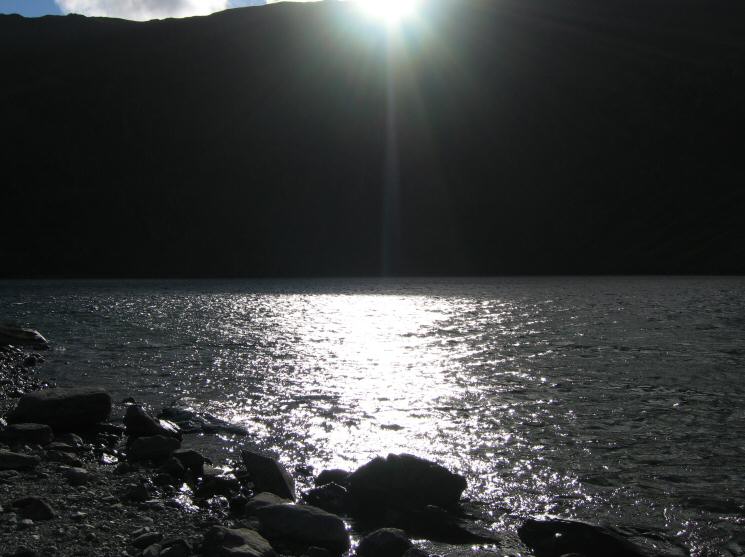
Blea Water
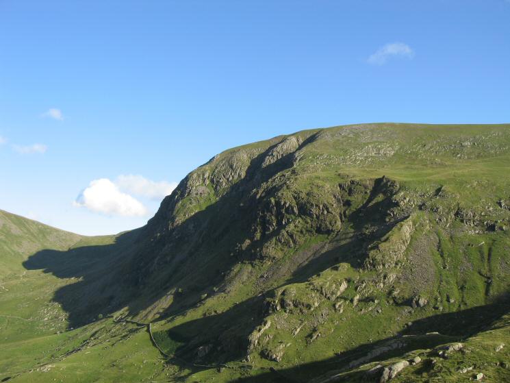
Gatescarth Pass and Harter Fell
Harter Fell, Wood Howe, The Rigg and Rough Crag
Previous Walk: Dufton Pike (Mon 8 Aug 2005)
Next Walk: Great Dun Fell (Wed 17 Aug 2005)