Helvellyn via Striding and Swirral Edges
Sat 9 Jul 2005
Route: Glenridding village - Mires Beck path - Birkhouse Moor - High Spying How - Striding Edge - Helvellyn - Swirral Edge - Catstycam - Red Tarn - Glenridding valley - Glenridding village
Distance: 9.25 miles
Ascent: 3,020ft
Time: 5 hours 30 minutes
With: Anne
Notes:
Hot, dry, sunny, no wind
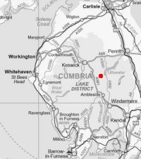
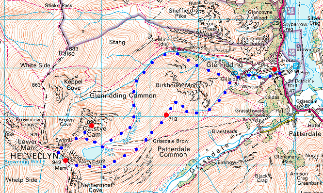
© Crown copyright. All rights reserved. Licence number AL100038401
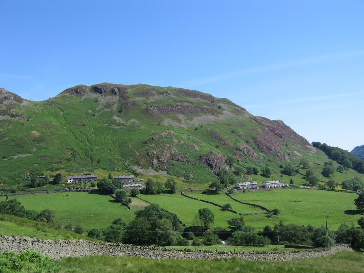
Glenridding Dodd from above Glenridding
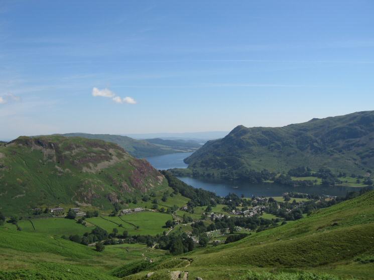
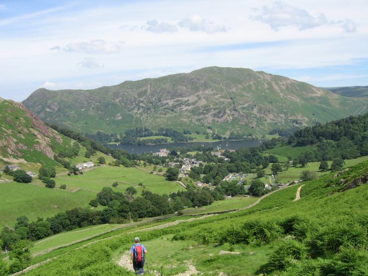
Looking back down on Glenridding village and the head of Ullswater from the Mires Beck path
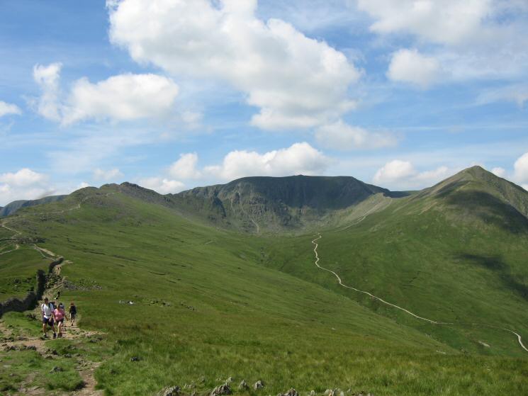
The path to Striding Edge (far left), Helvellyn, the Red Tarn track and Catstycam from Birkhouse Moor's summit
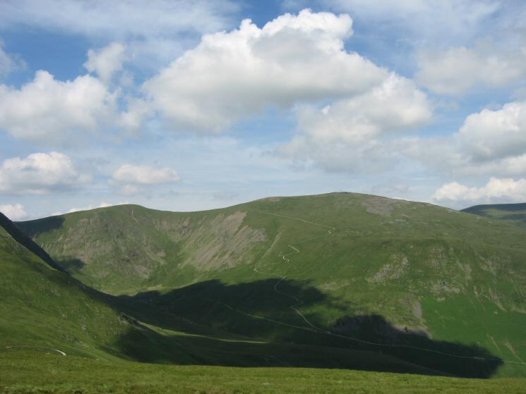
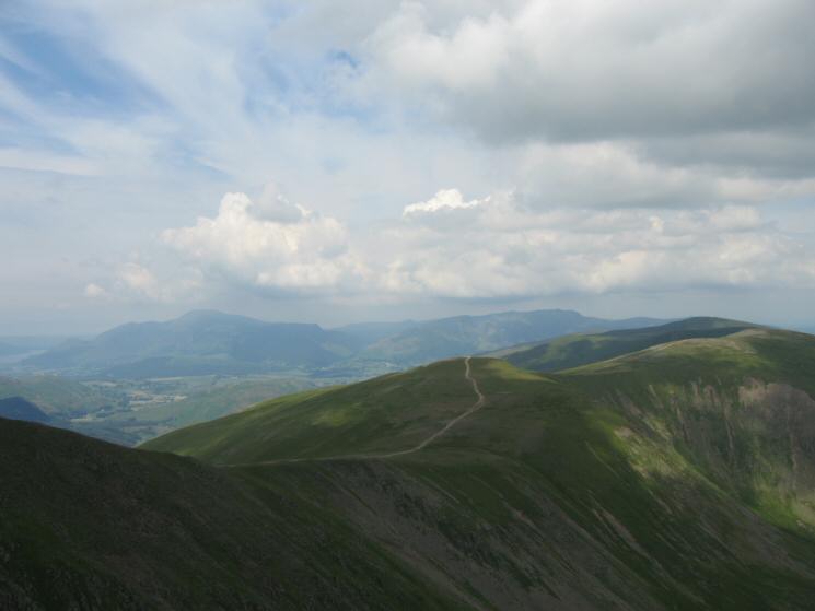
White Side and Raise (with the zig-zags of the Whiteside Bank track on its slopes)
Hole-in-the-Wall
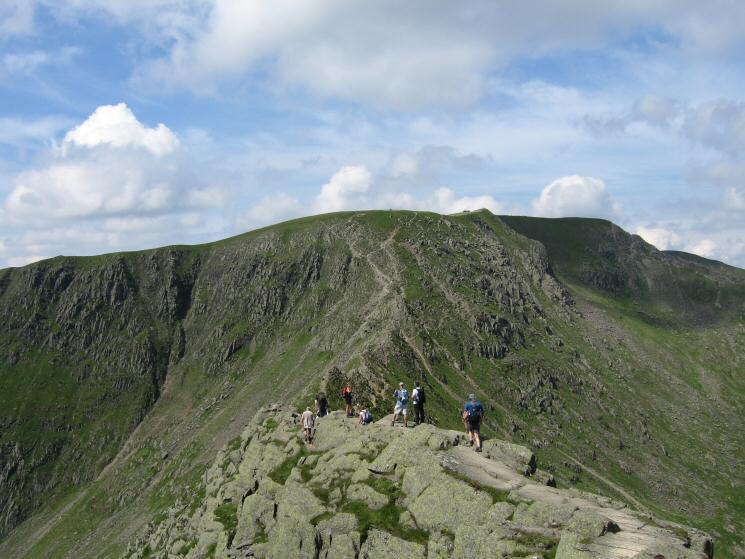
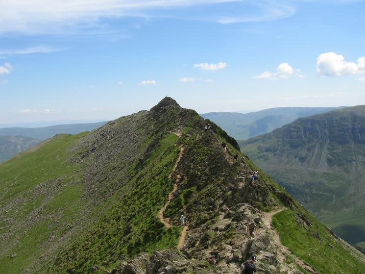
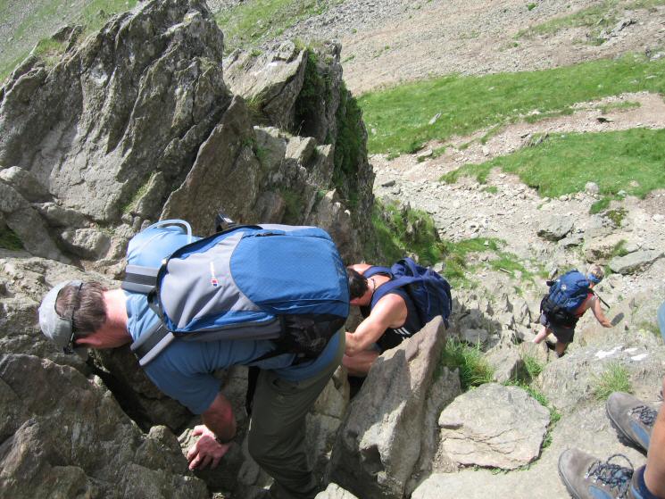
Striding Edge
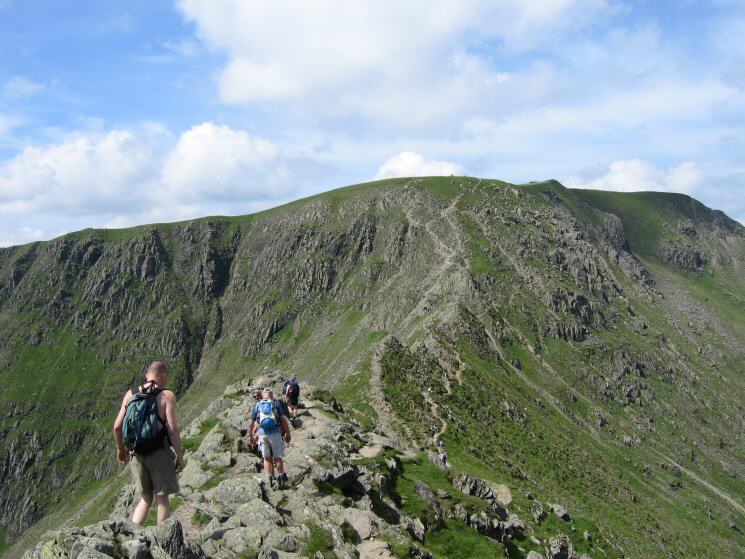
Striding Edge
Striding Edge
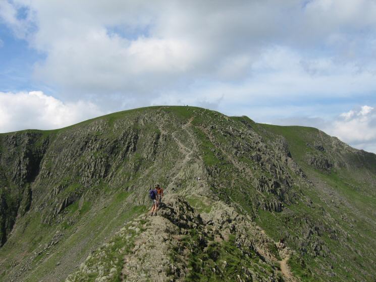
Looking back to High Spying How from Striding Edge
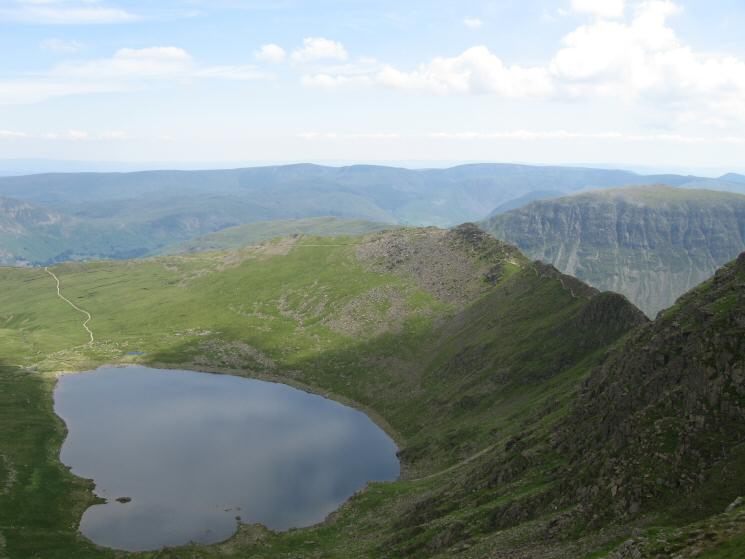
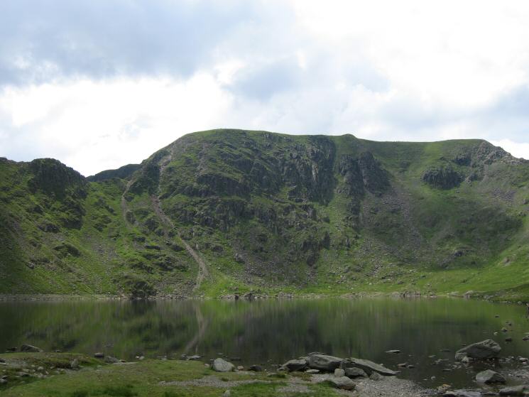
Looking over Red Tarn to Catstycam from Striding Edge
Descending the short gully at the end of Striding Edge
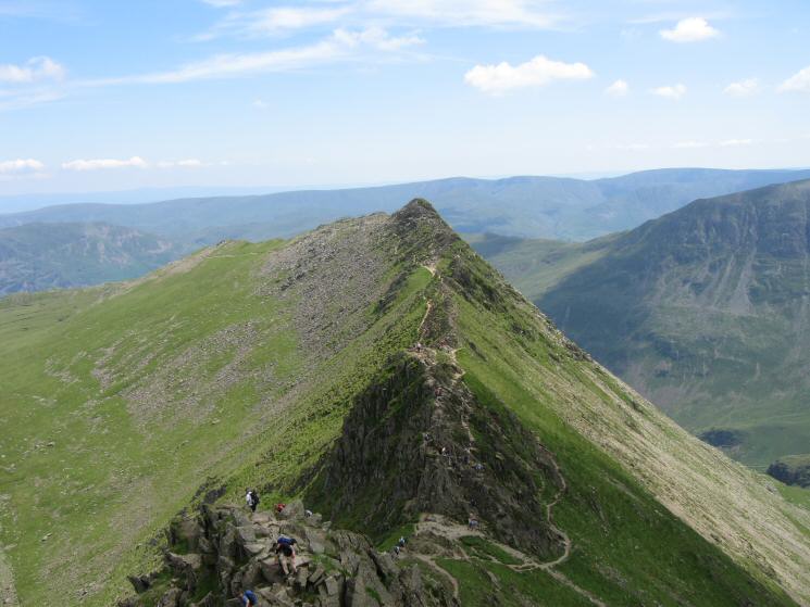
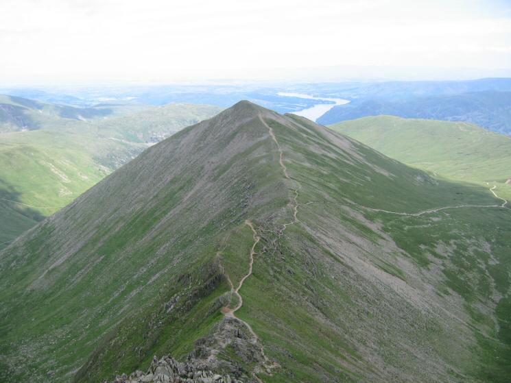
Looking back down on Striding Edge
The view west from Helvellyn - Great Gable (left), Pillar (centre) and High Stile (right)
Catstycam from Helvellyn's summit
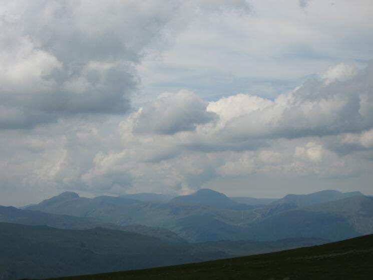
Looking north from Helvellyn - White Side and the Dodds with Skiddaw in the distance
Red Tarn and Striding Edge from Helvellyn
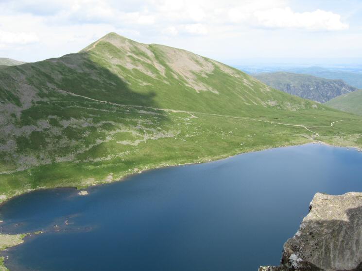
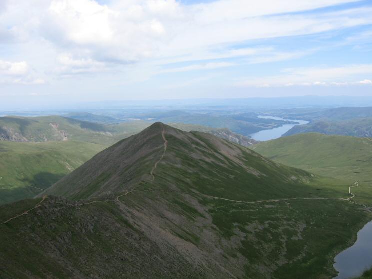
Catstycam from the top of Swirral Edge
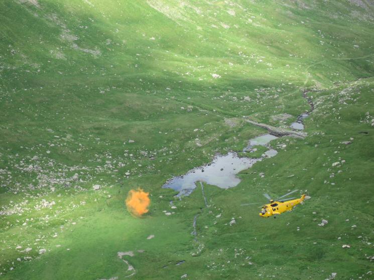
A rescue helicopter out on exercise in Brown Cove
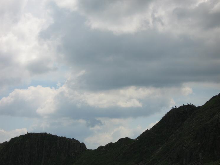
Walkers on Striding Edge
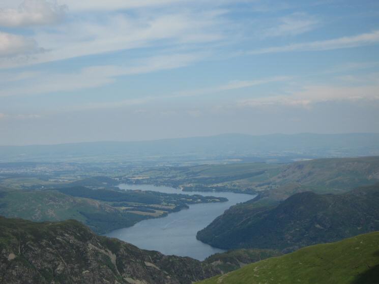
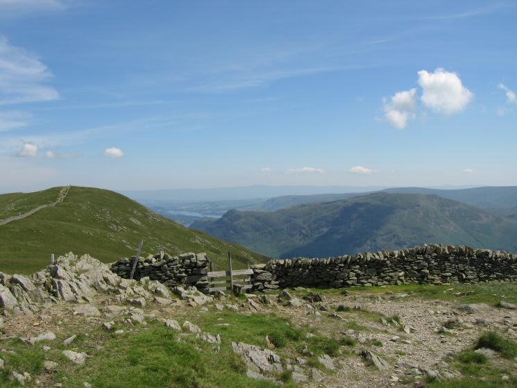
Ullswater with the North Pennines in the distance from Catstycam's summit
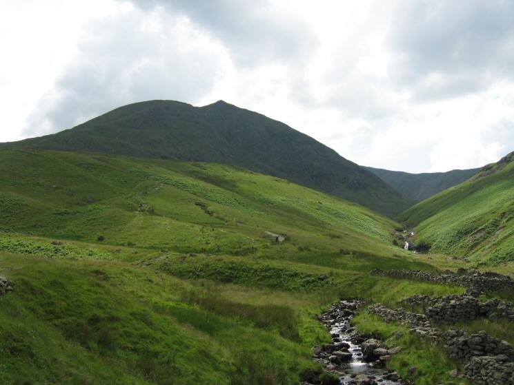
Helvellyn from Red Tarn
Looking back to Catstycam from Glenridding
Heading back down on Glenridding for an ice cream
Previous Walk: High Street Roman Road (BROCAVVM to GALAVA) (Sat 2 Jul 2005)
Next Walk: Grey Crag, Harrop Pike, Tarn Crag (Sun 10 Jul 2005)