Reston Scar and Hugill Fell
Sat 28 May 2005
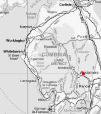
Route: Staveley - Reston Scar - Hugill Fell - Staveley
Distance: 2.50 miles
Ascent: 650ft
Time: 1 hour 45 minutes
With: Lake District National Park Authority staff, members, volunteers and others
Notes:
Windy, overcast but mostly dry.
Launch of open access in the Lake District National Park. CROW (Countryside Rights of Way Act) has arrived!
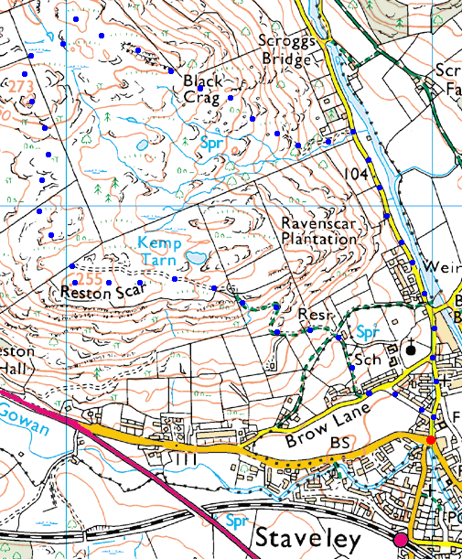
© Crown copyright. All rights reserved. Licence number AL100038401
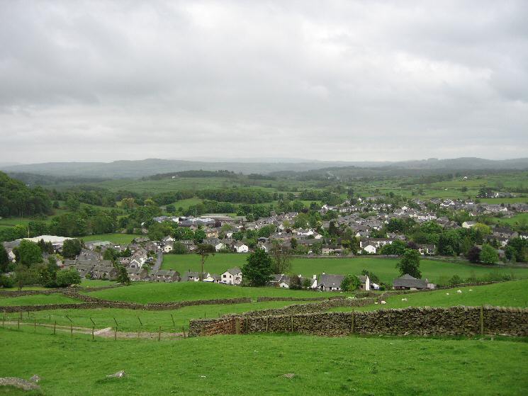
Looking back down on Staveley as we head up Reston Scar
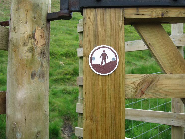
Open Access Symbol
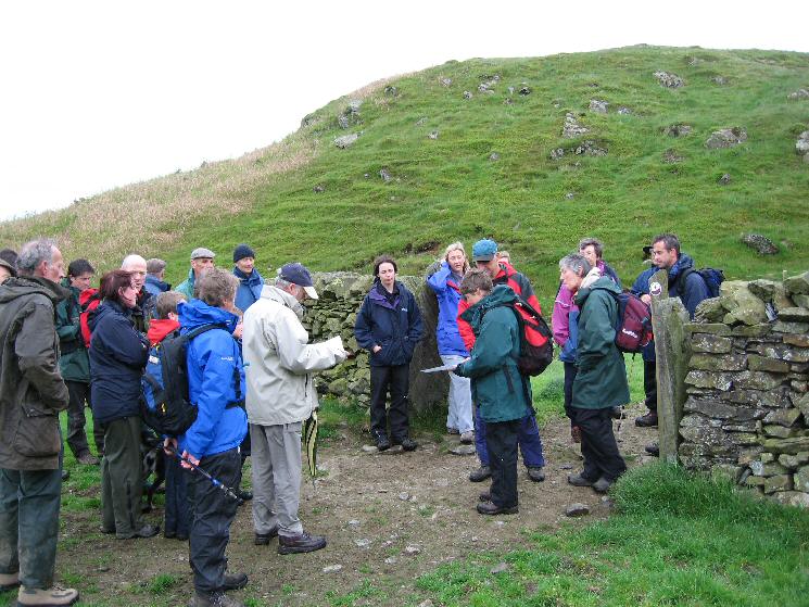
Access Point, we have reached the end of the public footpath, through the gate is open access land
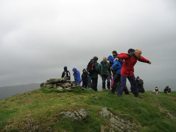
A windy Reston Scar summit
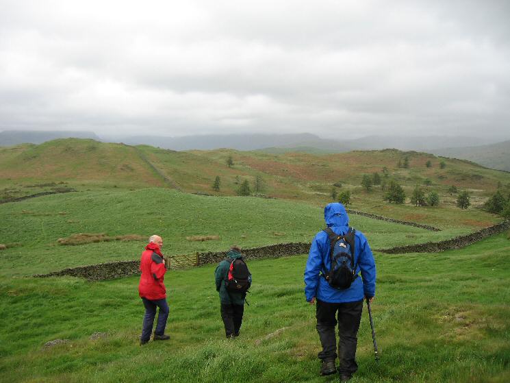
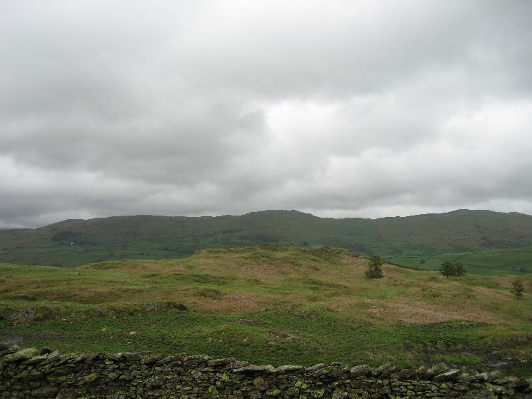
Leaving Reston Scar with Hugill Fell ahead. Wainwright's top is the lower one on the right
Looking back to Reston Scar
Hugill Fell (Wainwright Top) with Brunt Knott and Potter Fell behind
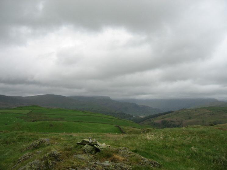
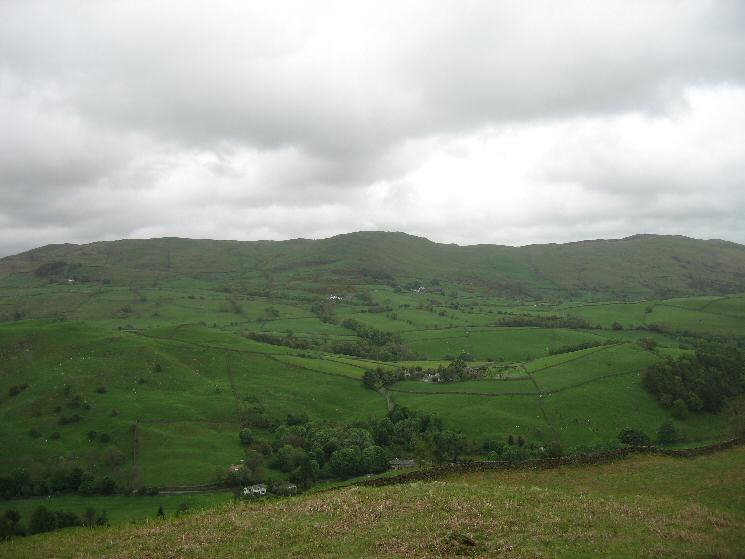
The Kentmere valley from the high point of Hugill Fell
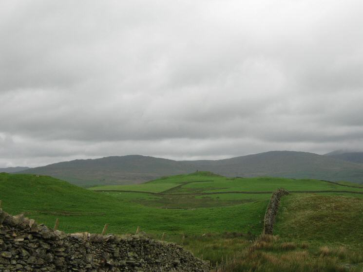
Looking north to High Knott (Williamson's Monument) with Sour Howes and Sallows behind
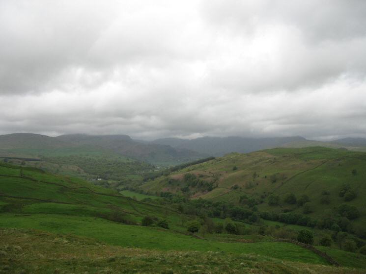
The Kentmere Valley with the tops of the high fells lost in cloud
Brunt Knott

Hugill Fell summit cairn
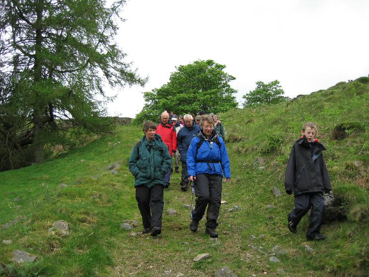
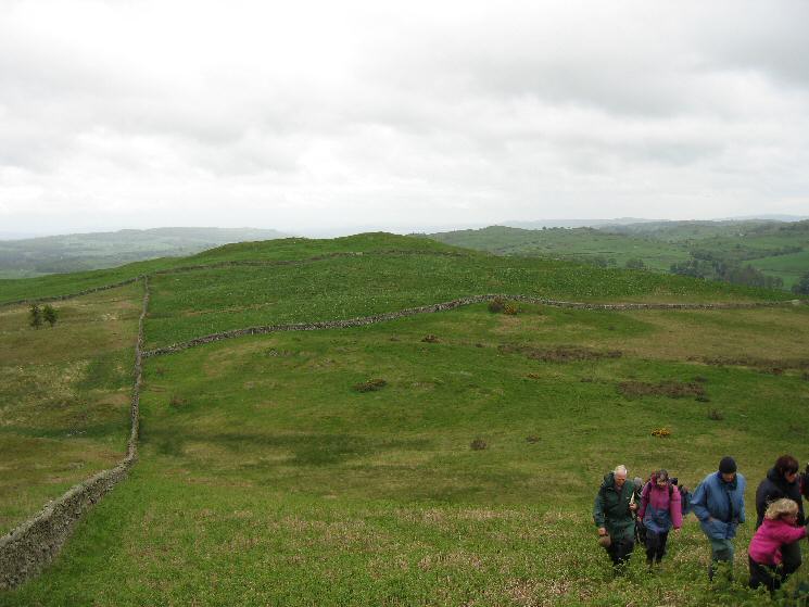
Descending back to the valley
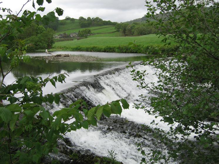
The weir across the River Kent near Barley Bridge
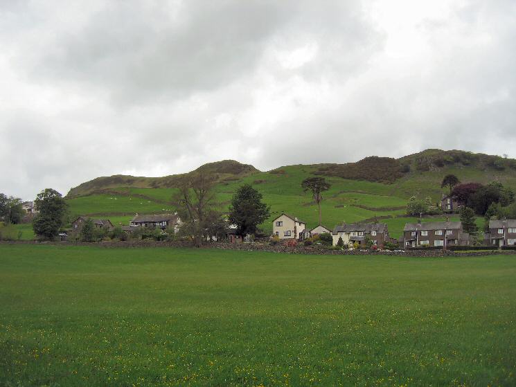
Reston Scar from Staveley
Previous Walk: Walla Crag (Thu 26 May 2005)
Next Walk: Easedale and Stickle Tarns (Sun 29 May 2005)