Haycock plus from Ennerdale
Fri 25 Mar 2005
Route: Broadmoor, Ennerdale - Crag Fell - Iron Crag - Caw Fell - Little Gowder Crag - Haycock - Tewit How - Ennerdale Water - Broadmoor
Distance: 11.75 miles
Ascent: 3,200ft
Time: 7 hours 15 minutes
With: David Hall and Anne
Notes:
A cloud base of approx 2,000ft meant most of the walk was in the cloud. We got the blue sky and sunshine right at the end of the walk.

© Crown copyright. All rights reserved. Licence number AL100038401

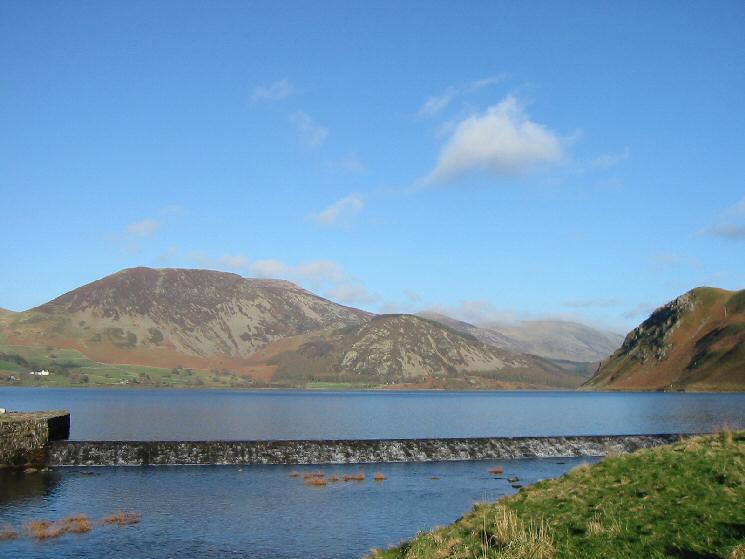
Ennerdale Water's outflow from Ben Gill

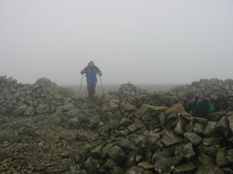
Approaching Crag Fell's summit cairn

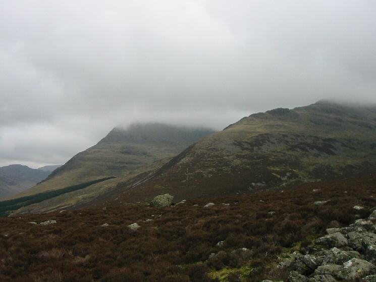
Iron Crag
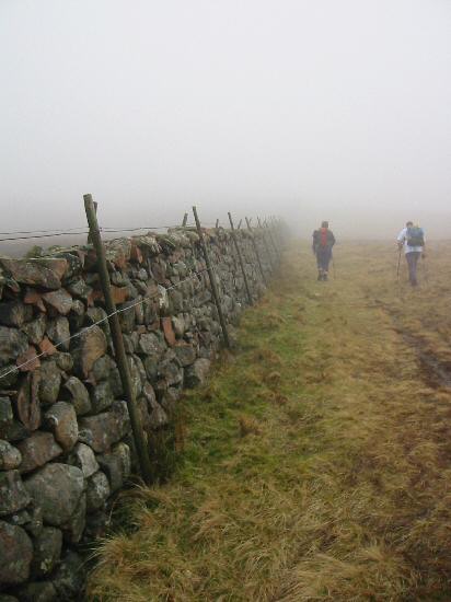
Just follow the wall, part of the Ennerdale Fence

Aircraft wreckage next to the summit cairn on Iron Crag

Lunch stop at Caw Fell's summit
Haycock's summit
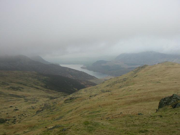
Ennerdale Water from the descent to Tewit How

Descending to Lingmell with Great Borne and Starling Dodd in cloud
Ridges onto Pillar left and Steeple right with Haystacks on the far left

Crag Fell, Ennerdale Water and Bowness Knott from Lingmell

Crag Fell, Ennerdale Water, Bowness Knott and Great Borne from Lingmell
Crag Fell and Anglers' Crag from Ennerdale Water's shore

Anglers' Crag, Ennerdale Water
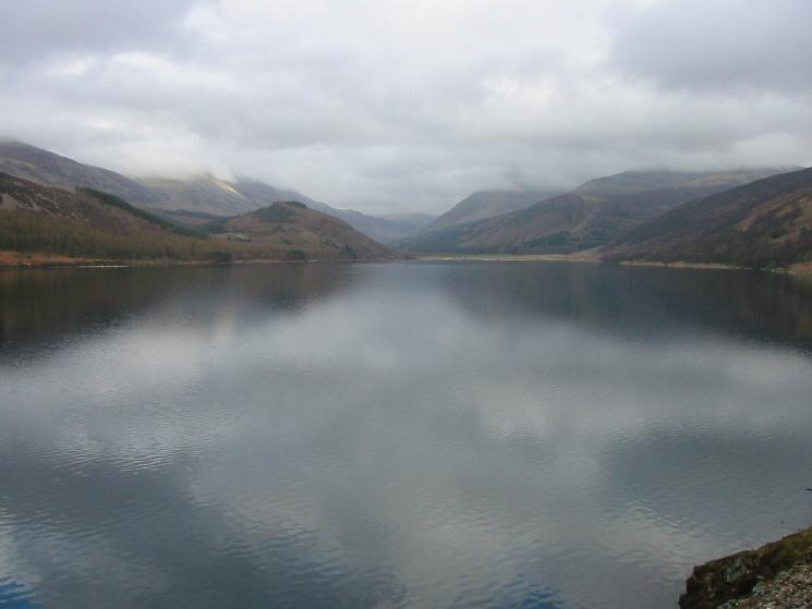
The view up Ennerdale Water

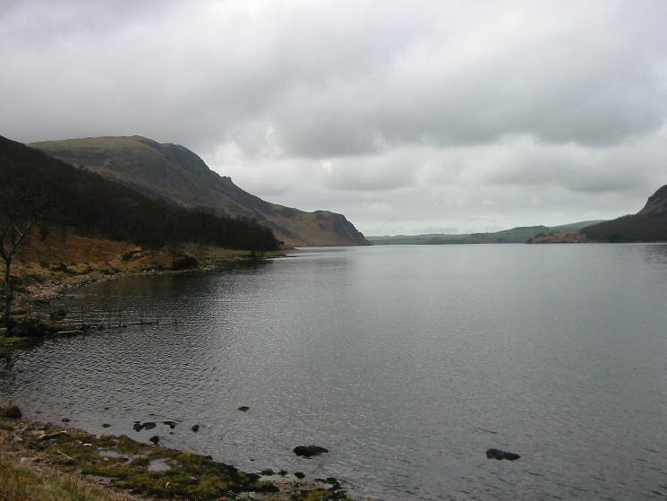
Looking across Ennerdale Water to Herdus, Great Borne and Bowness Knott

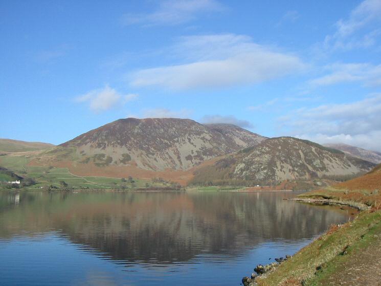
Looking across Ennerdale Water to Knock Murton
Looking across Ennerdale Water to Herdus, Great Borne and Bowness Knott
Herdus and Bowness Knott with Anglers' Crag on the far right from Ennerdale Water's weir
Previous Walk: Orrest Head (Sat 19 Mar 2005)
Next Walk: Dufton Pike (Mon 28 Mar 2005)