Wetherlam and the Carrs
Sat 30 Oct 2004
Route: Low Tilberthwaite - Birk Fell Hawse - Wetherlam Edge - Wetherlam - Black Sails - Swirl Hawse - Prison Band - Swirl How - Great Carrs - Little Carrs - Hell Gill Pike - Wet Side Edge - Greenburn - Little Langdale - Low Tilberthwaite
Distance: 8.25 miles
Ascent: 3,200ft
Time: 4 hours 50 minutes
With: Anne
Notes:
Mild, light winds, overcast to start but cloud breaking up
© Crown copyright. All rights reserved. Licence number AL100038401
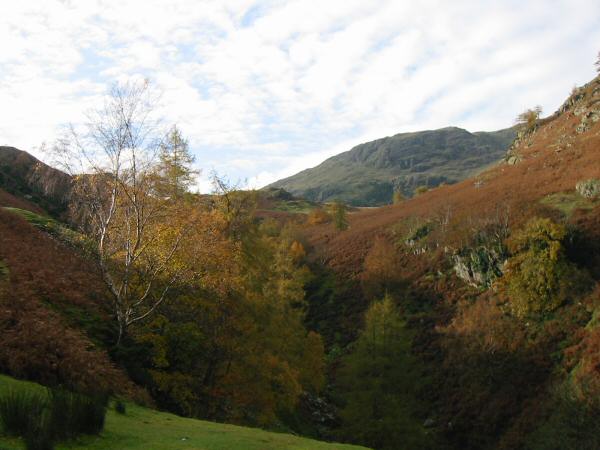
Tilberthwaite Gill
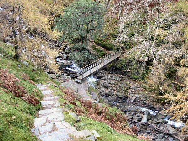
Footbridge across Tilberthwaite Gill
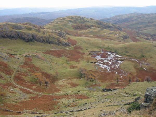
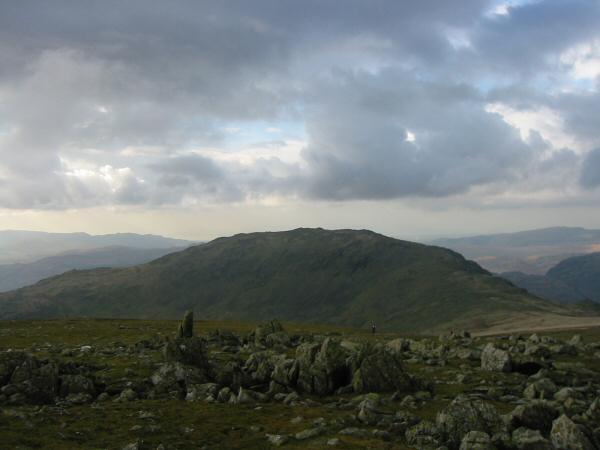
Looking back down on Dry Cove Moss
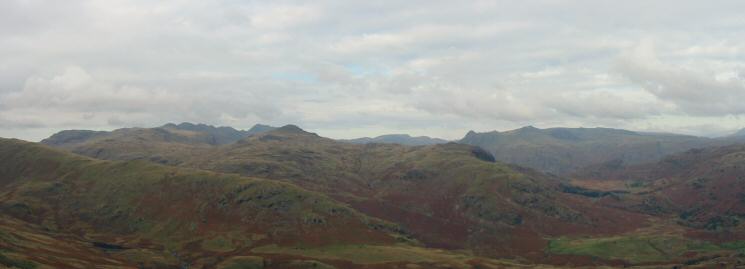
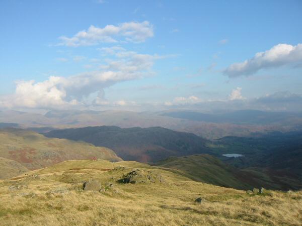
Northerly panorama from Birk Fell Hawse
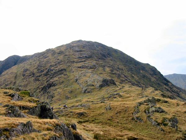
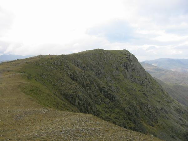
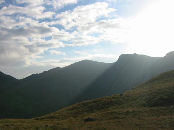
Wetherlam Edge
Crinkle Crags, Bowfell and Pike O' Blisco
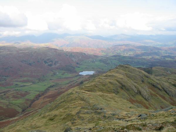
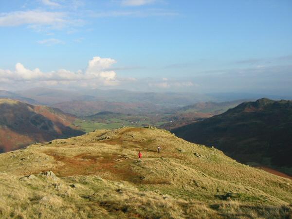
Looking back down Wetherlam Edge towards Little Langdale Tarn
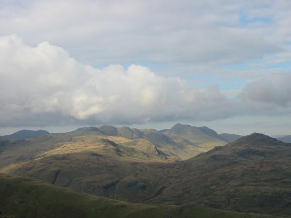
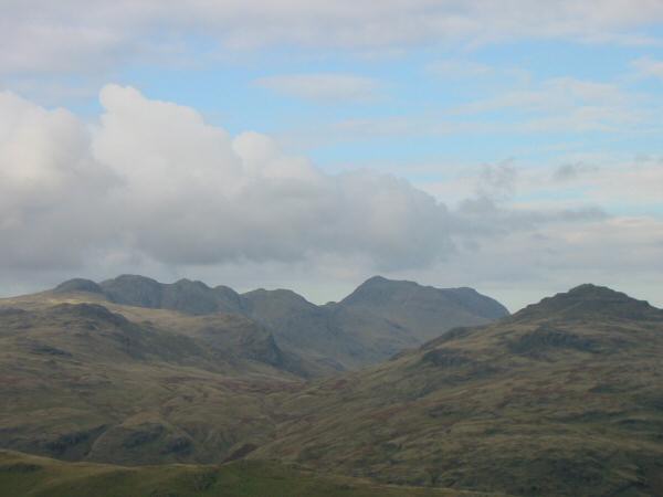
Scafell, Crinkle Crags, Bowfell and Pike O' Blisco from Wetherlam Edge
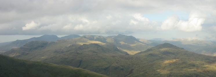
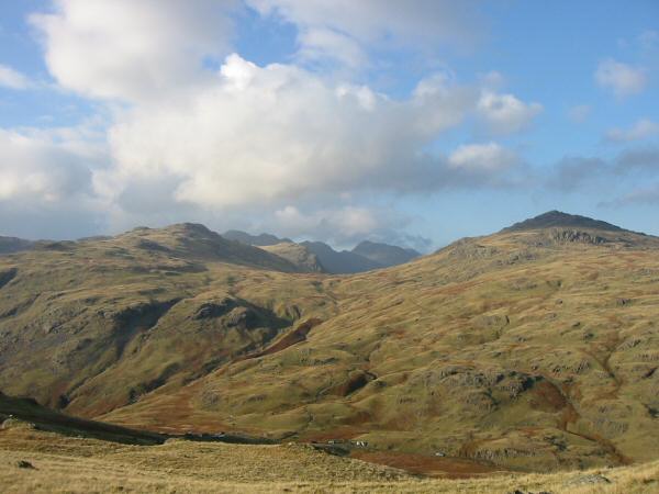
Looking over Wet Side Edge to the Scafells, Crinkle Crags, Bowfell and Pike O' Blisco from near Wetherlam's summit
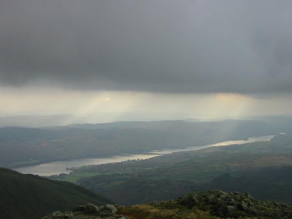
Coniston Water from Black Sails' summit
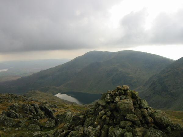
Coniston Old Man, Brim Fell and Levers Water from Black Sails' summit
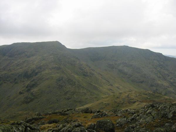
Swirl How and Great Carrs from Black Sails
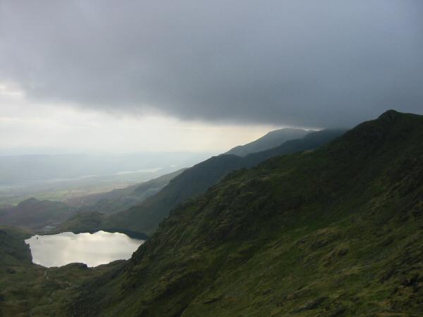
Levers Water and Coniston Old Man with its top just below the cloud from Prison Band
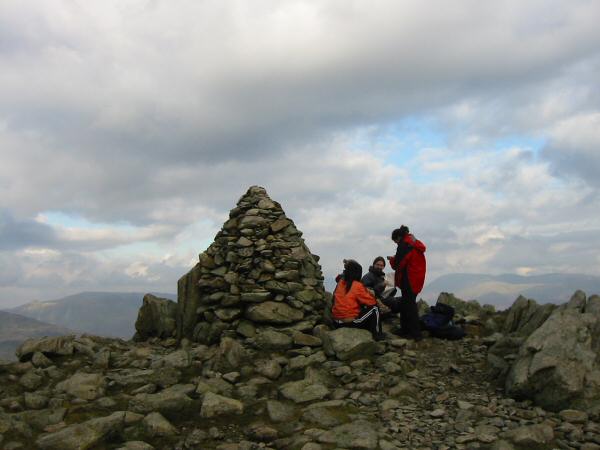
Swirl How's summit cairn
Grey Friar
Great Carrs
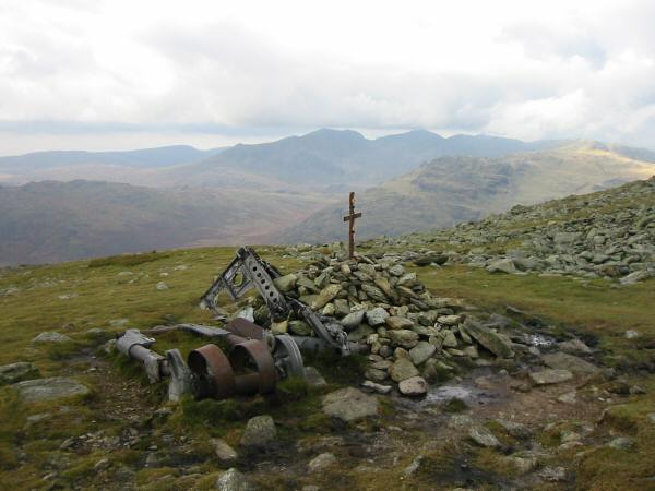
Halifax Bomber crash memorial, Great Carrs
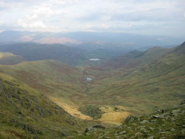
Greenburn leading into Little Langdale
Wet Side Edge
Swirl How and Great Carrs
Looking across Wrynose Pass to Cold Pike and Pike O' Blisco with Crinkle Crags and Bowfell in the distance
On Wet Side Edge
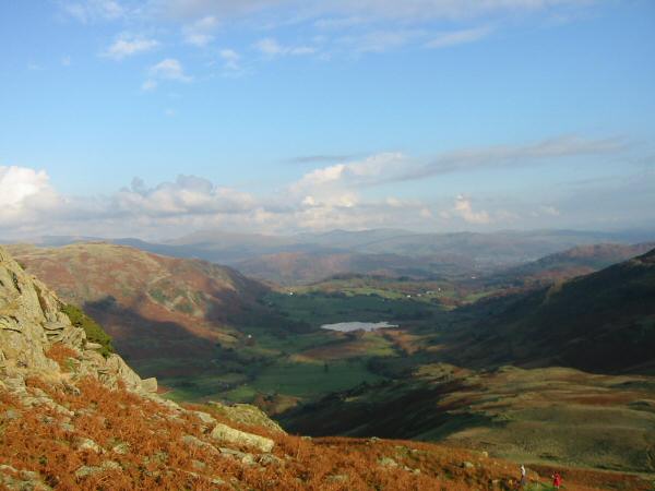
Little Langdale Tarn from low down Wet Side Edge
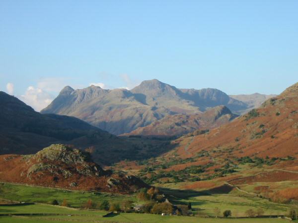
The Langdale Pikes seen through the Blea Tarn gap
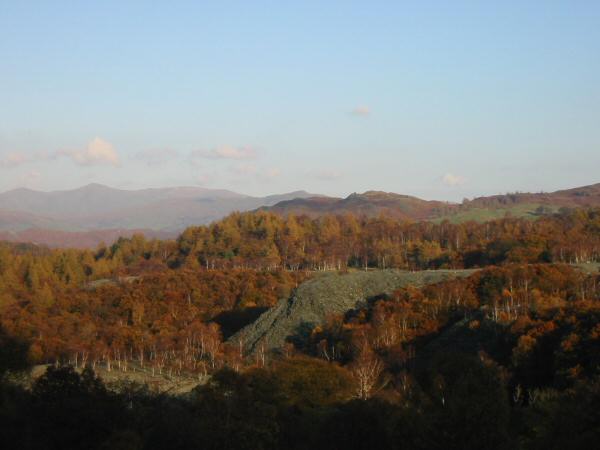
Hodge Close Quarry with the Ill Bell ridge in the distance
Previous Walk: Black Crag and Tarn Hows (Sun 24 Oct 2004)
Next Walk: Loughrigg Fell (Sun 31 Oct 2004)