High Rigg and Castlerigg Stone Circle
Sun 11 Jul 2004
Route: Legburthwaite - Wren Crag - High Rigg - St John's in the Vale Church - Low Rigg - Tewet Tarn - Naddle Bridge - Castlerigg Stone Circle
Distance: 4.50 miles
Ascent: 1,000ft
Time: 3 hours
With: Anne, Mum and Dad
Notes:
Overcast, dull
© Crown copyright. All rights reserved. Licence number AL100038401
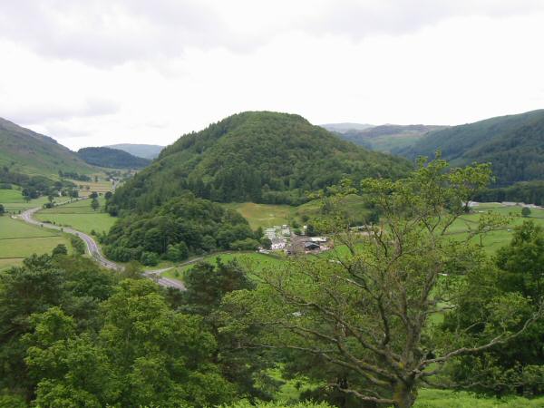
Great How
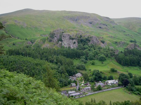
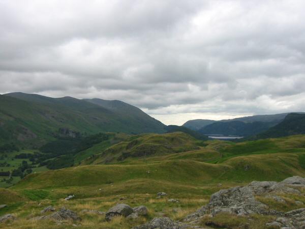
Castle Rock of Triermain above The Green
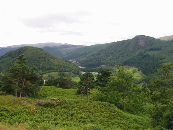
A glimpse of Thirlmere between Great How and Raven Crag
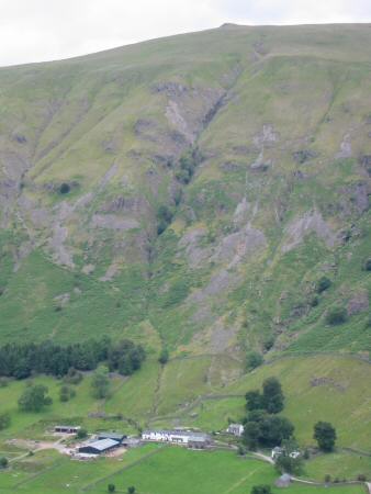
Fornside, St John's in the Vale with Calfhow Pike on the skyline directly above

The view south from the High Rigg ridge
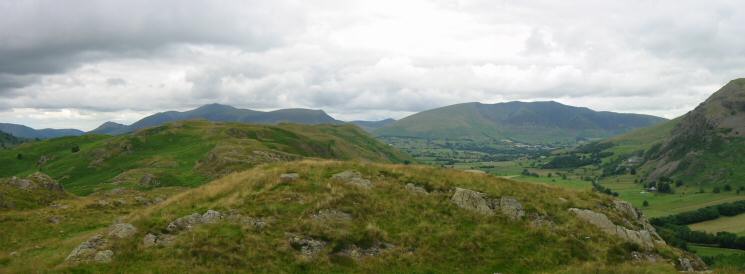
The view north towards High Rigg's summit with the Skiddaw fells and Blencathra in the distance
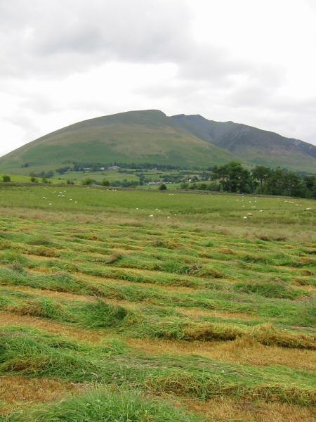
Blencathra
The Helvellyn ridge from High Rigg's summit
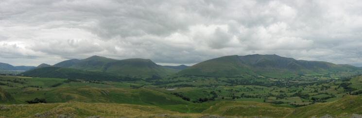
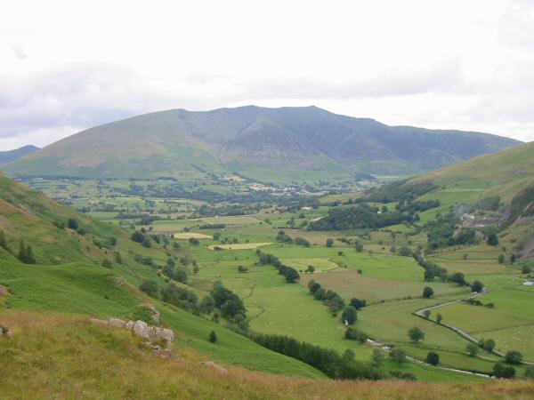
The Skiddaw fells and Blencathra with Great Calva in between from High Rigg's summit
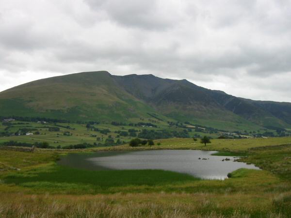
Blencathra from Tewet Tarn
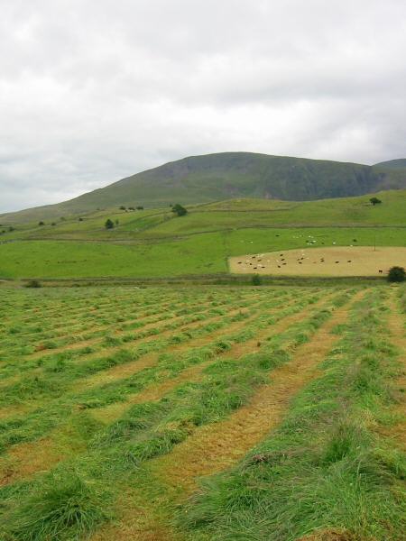
Clough Head
Blencathra

The High Rigg ridge with the Helvellyn ridge behind from near Goosewell Farm
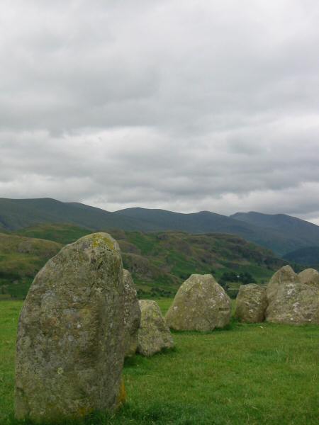
The Helvellyn ridge from Castlerigg Stone Circle
Previous Walk: Walla Crag (Fri 9 Jul 2004)
Next Walk: Crag Fell and Grike (Tue 13 Jul 2004)