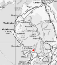
Blawith Knott
Tue 1 Jun 2004
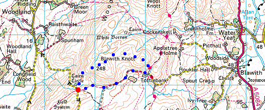
Route: Woodland Fell Road - Blawith Knott - Tottlebank Height - Tottlebank - Woodland Fell Road
Distance: 2.25 miles
Ascent: 500ft
Time: 1 hour
With: Anne
Notes:
Humid, dull, overcast.
A. Wainwright's 'Blawith Knott' walk in his book 'The Outlying Fells of Lakeland' [page 108].
© Crown copyright. All rights reserved. Licence number AL100038401
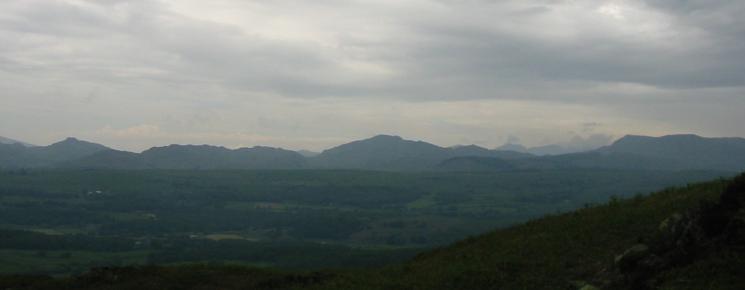
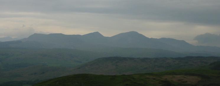
Stickle Pike, Caw and White Pike to the west from the ascent of Blawith Knott
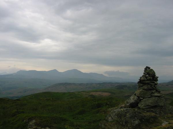
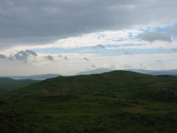
The Coniston Fells from Blawith Knott's summit
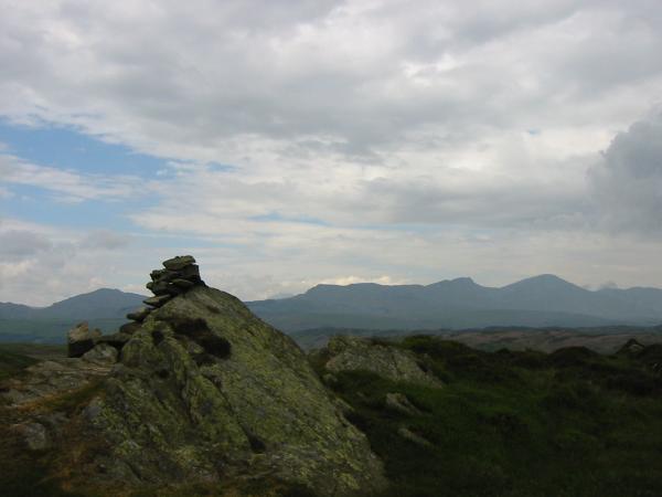
Walna Scar, Dow Crag, Coniston Old Man and Wetherlam from Blawith Knott's summit
Looking back over Blawith Knott to Black Combe from Tottlebank Height as the weather starts to brighten
Caw and the Coniston Fells from Tottlebank Height's summit cairn
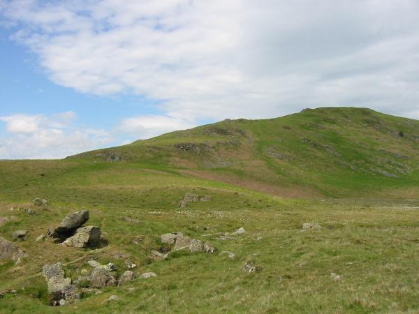
Blawith Knott's south west ridge, our line of ascent, from the start/finish of the walk
Previous Walk: Arnison Crag, Birks and Saint Sunday Crag (Mon 31 May 2004)
Next Walk: Walla Crag (Tue 15 Jun 2004)