Four Stones Hill and Haweswater
Fri 9 Apr 2004
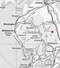
Route: Burnbanks - Little Birkhouse Hill - Four Stones Hill - standing stones - Measand Beck - Haweswater shore path - Burnbanks
Distance: 4.50 miles
Ascent: 720ft
Time: 2 hours
With: Anne
Notes:
Overcast, dry
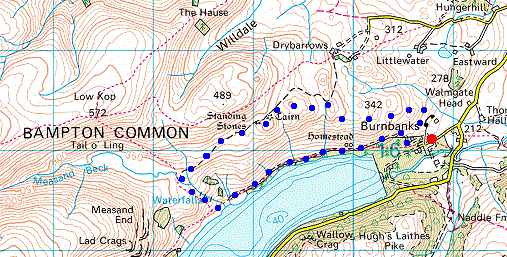
© Crown copyright. All rights reserved. Licence number AL100038401
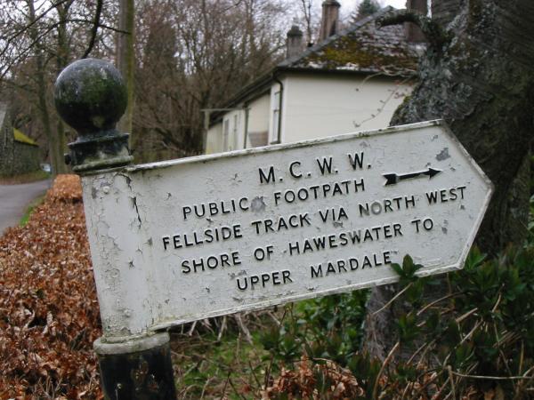
Manchester Corporation Water Works sign at the start of the walk at Burnbanks
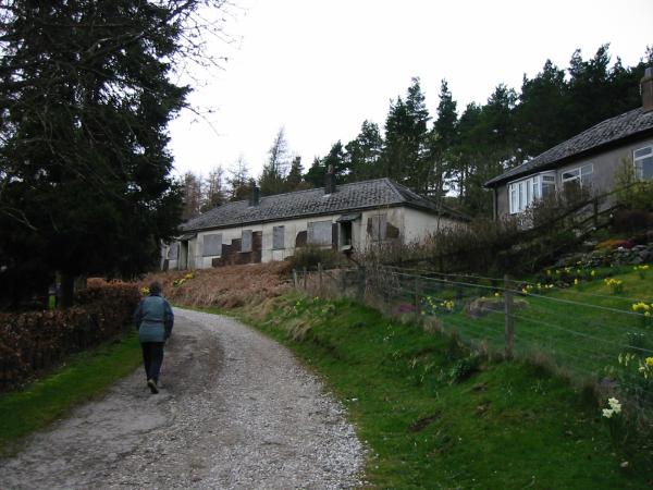
Leaving Burnbanks
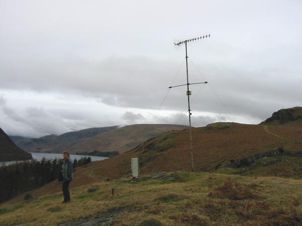
One of the TV aerials above Burnbanks village
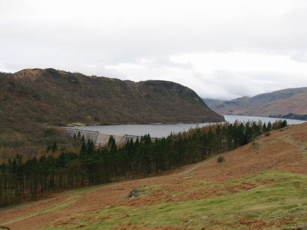
Haweswater Dam
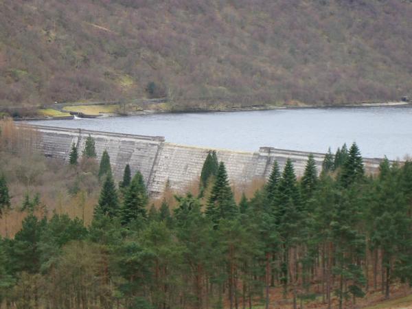
Haweswater Dam
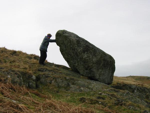
Anne trying, and failing, to push over a perched boulder
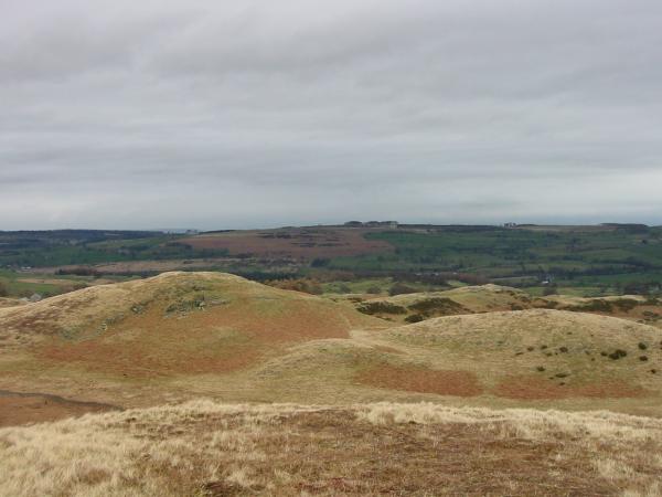
Looking east to Knipescar Common. The Pennines beyond were lost in cloud
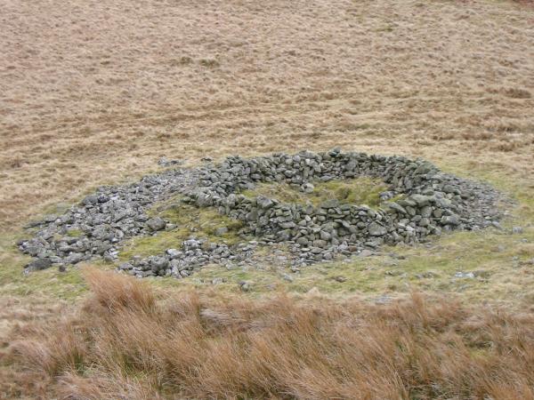
Prehistoric round cairn

The small tarn near the cairn
Haweswater from the top of Four Stones Hill
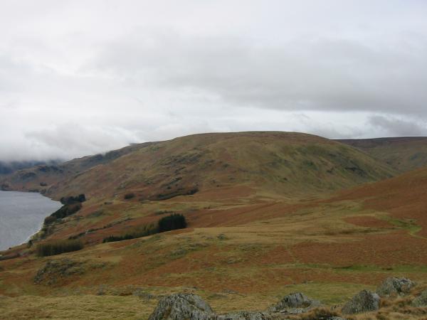
The north east ridge of High Raise from the Four Stones Hill
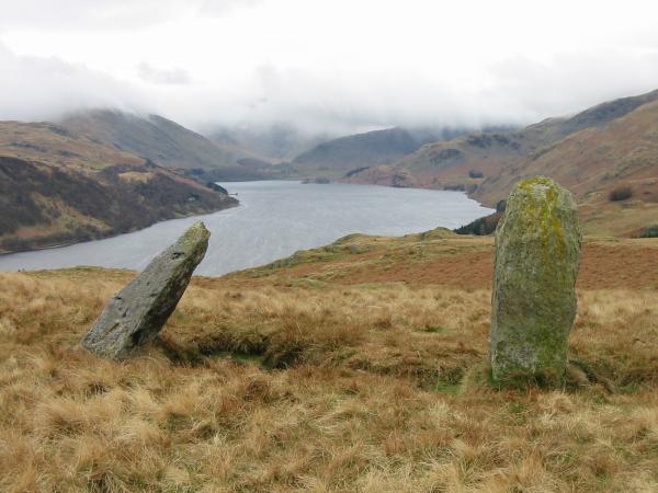
Haweswater from the two standing stones
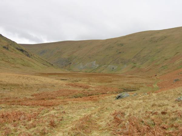
Fordingdale Bottom
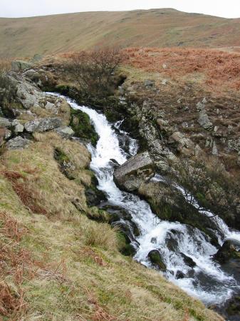
Measand Beck
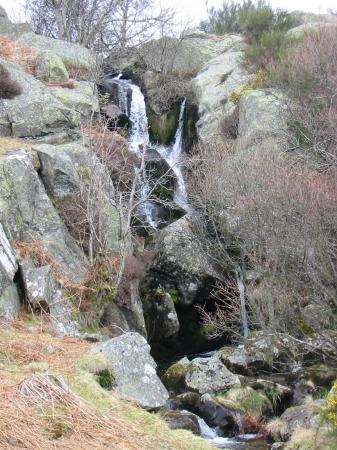
Measand Beck
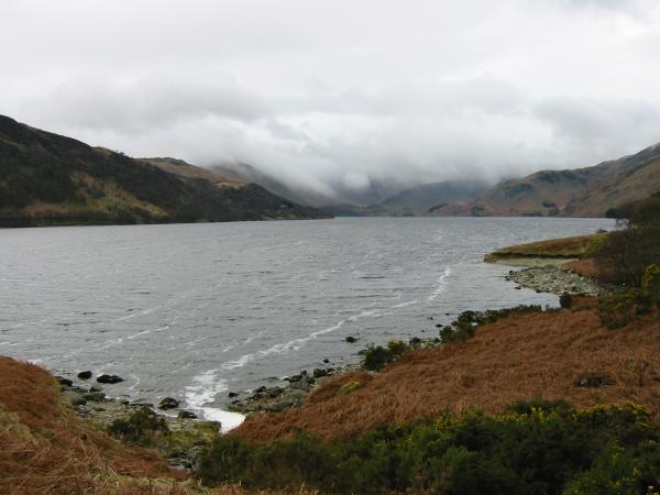
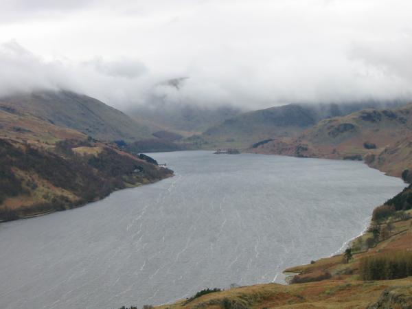
Looking towards the cloudy head of Mardale from Haweswater's shore
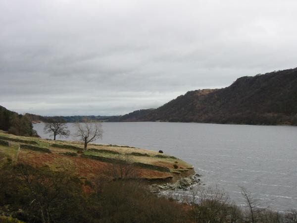
Looking east towards Haweswater's dam
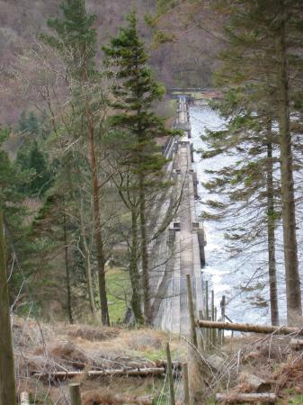
Haweswater dam
Previous Walk: Great Mell Fell (Mon 5 Apr 2004)
Next Walk: Lowther Park (Sat 10 Apr 2004)