High Knott
Tue 9 Mar 2004
Route: End of Browfoot Lane - The British Settlement at Hugill - Kentmere bridleway - Ullthwaite Bridge - Browfoot - High Knott (Williamson's Monument) - End of Browfoot Lane
Distance: 5.00 miles
Ascent: 620ft
Time: 1 hour 35 minutes
With: On Own
Notes:
Overcast, dull.
A. Wainwright's 'High Knott' walk in his book 'The Outlying Fells of Lakeland' [page 18].
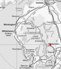
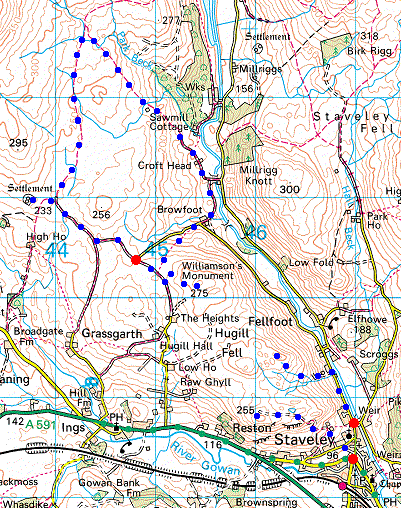
© Crown copyright. All rights reserved. Licence number AL100038401
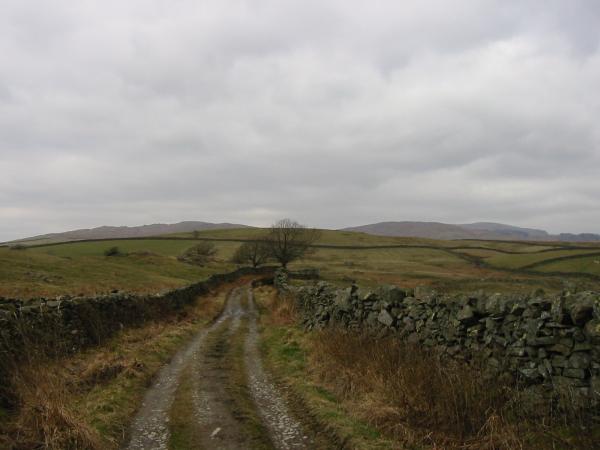
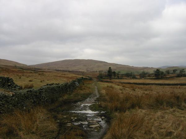
The track at the start of the walk. Sour Howes is to the left of the tree, Sallows to the right
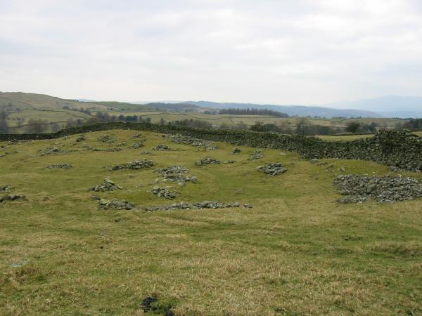
The remains of the British Settlement at Hugill
Sallows from the Kentmere bridleway
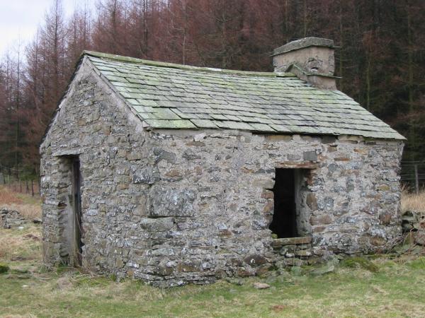
A derelict cottage near Park Beck
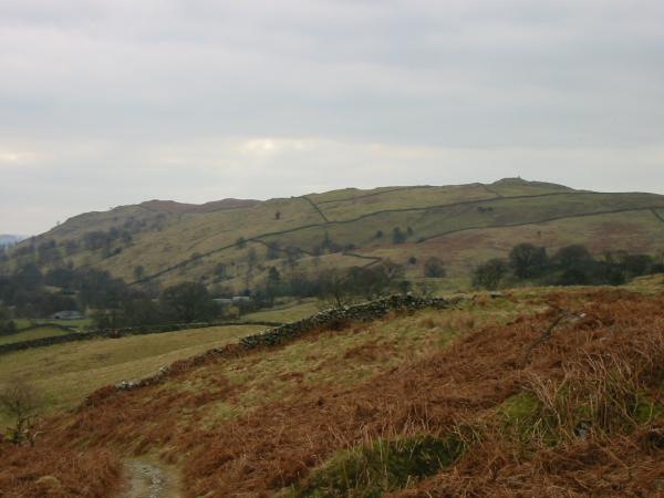
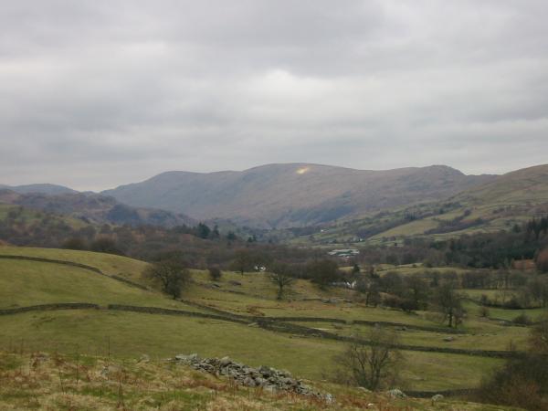
Hugill Fell on the left and High Knott with Williamson's Monument on its summit on the right
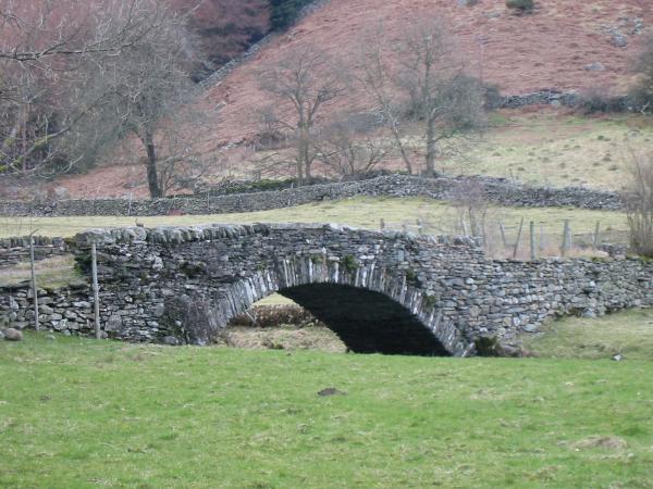
The 17th century Ullthwaite Bridge across the River Kent. (AW spelt it Ulthwaite)
Harter Fell, Kentmere Pike and Shipman Knotts from the footpath above Browfoot
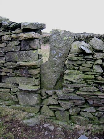
An unusual wall stile
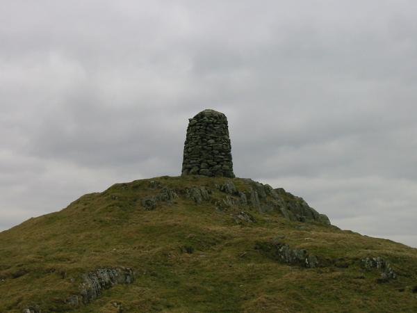
Williamson's Monument on the summit of High Knott
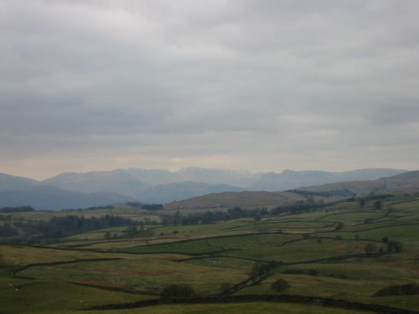
The Langdales from the summit of High Knott
Previous Walk: Hugill Fell (Tue 9 Mar 2004)