Irton Pike and Miterdale Forest
Sat 13 Dec 2003
Route: Irton Road Station - Miterdale Forest - Irton Pike - Plumgarth - Irton Road Station
Distance: 5.25 miles
Ascent: 850ft
Time: 2 hours 15 minutes
With: Anne
Notes:
Overcast, gloomy but dry.
We followed A. Wainwright's 'Irton Pike' walk in his book 'The Outlying Fells of Lakeland' [page 182] but took the footpath to Plumgarth to avoid part of the road walk at the end.
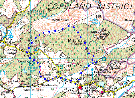
© Crown copyright. All rights reserved. Licence number AL100038401
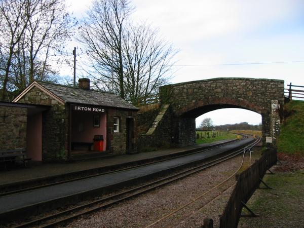
Irton Road Station on the Ravenglass and Eskdale Railway

Great Bank seen from a felled section of Miterdale Forest
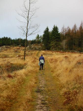
Ascending through the felled section, Miterdale Forest
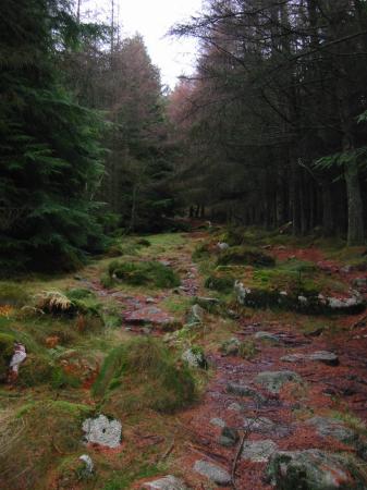
The path through the upper woodland, Miterdale Forest
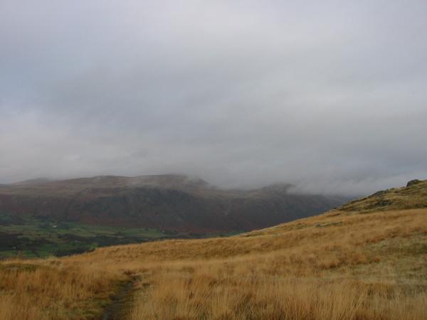
View from the ridge, Buckbarrow with Seatallan behind in the cloud
Irton Pike
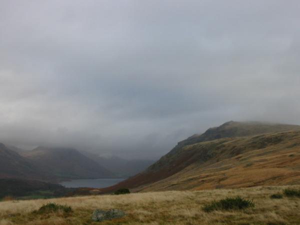
Wastwater and the ridge to Whin Rigg (The Screes) with Yewbarrow (top in cloud) on the left
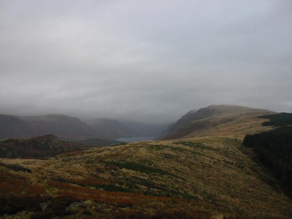
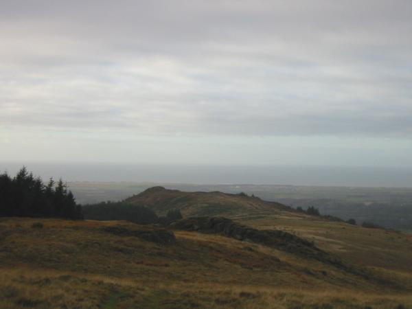
Wasdale from near the top of Irton Pike
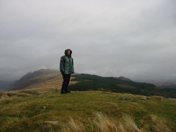
Irton Pike summit
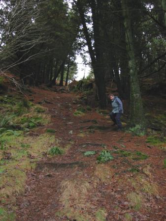
Descending back down through the forest, off Irton Pike
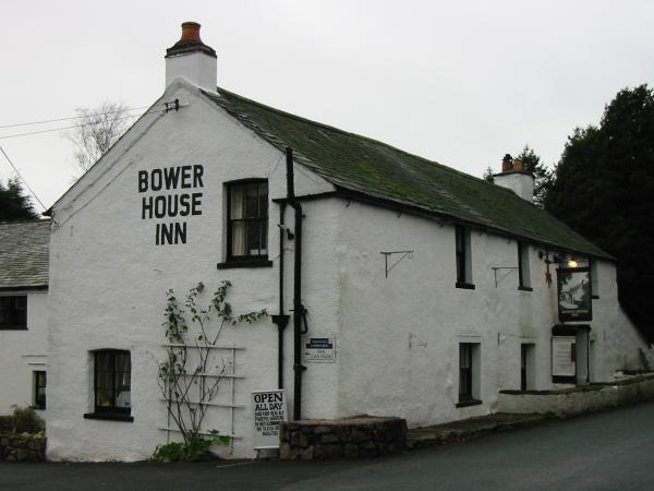
Bower House Inn
Previous Walk: Black Crag and Tarn Hows (Thu 11 Dec 2003)
Next Walk: Pillar (Sun 14 Dec 2003)