High Street from Mardale Head
Wed 3 Sep 2003
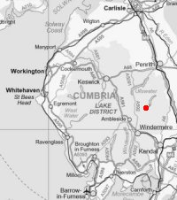
Route: Mardale Head - Rough Crag - Caspel Gate Tarn - Long Stile - High Street - Mardale Ill Bell - Nan Bield Pass - Harter Fell - Gatescarth Pass - Mardale Head
Distance: 6.75 miles
Ascent: 2,700ft
Time: 5 hours 10 minutes
With: John Paterson
Notes:
Sunny periods
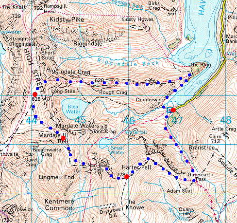
© Crown copyright. All rights reserved. Licence number AL100038401
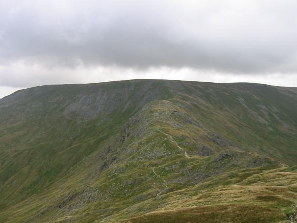
Rough Crag, my route to the summit of High Street today
Riggindale with Rough Crag on the left and Kidsty Pike on the right. The island is called Wood Howe
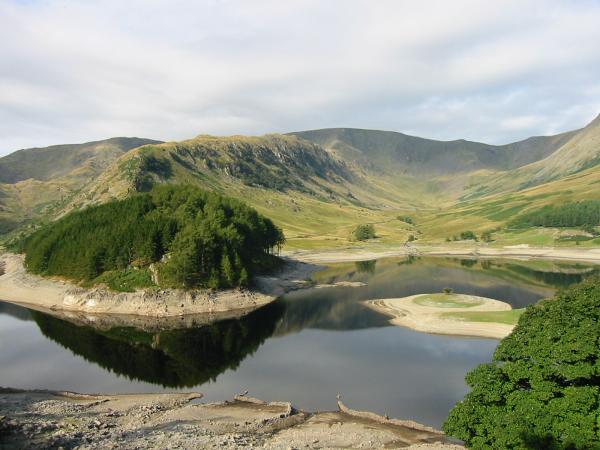
The Rigg, Rough Crag and Riggindale
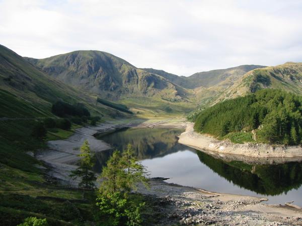
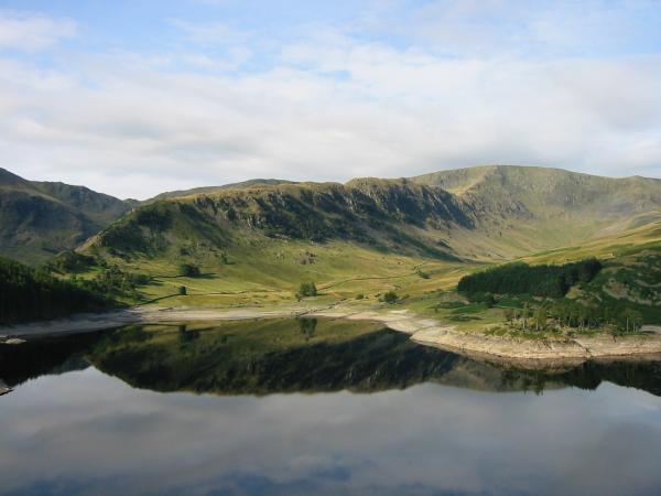
Harter Fell and Mardale Head
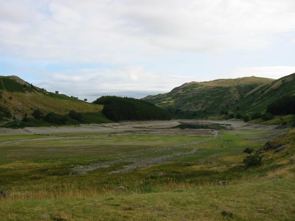
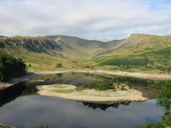
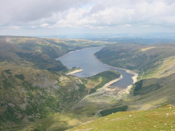
Mardale Head, the tides out! The reservoir is very low at the moment
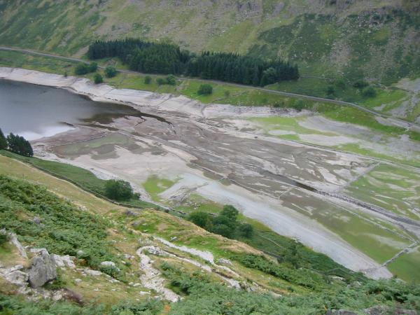
Looking down on the head of the reservoir from Rough Crag
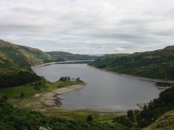
Haweswater from the ascent of Rough Crag
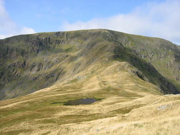
Caspel Gate Tarn and the Long Stile ridge onto High Street's summit
Looking back down on Rough Crag
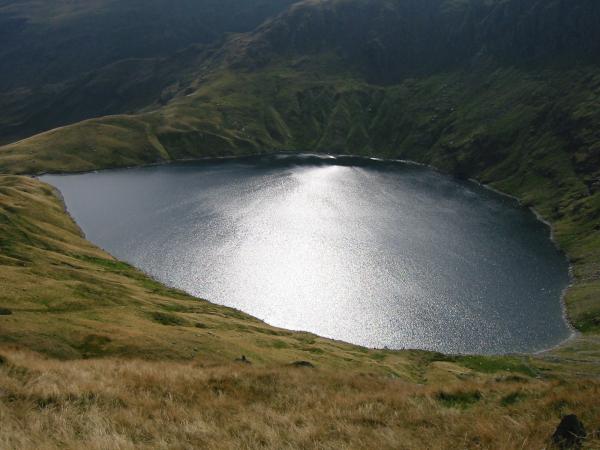
Sparkle of sunlight on Blea Water
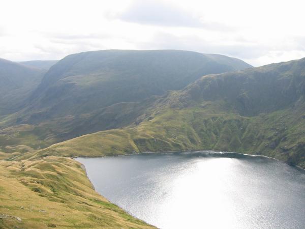
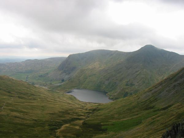
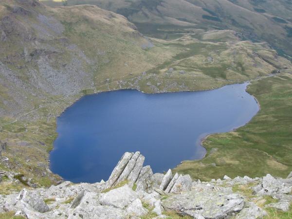
Harter Fell and Blea Water
Looking down into Riggindale
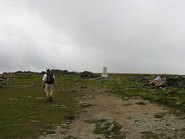
Approaching High Street's summit trig point
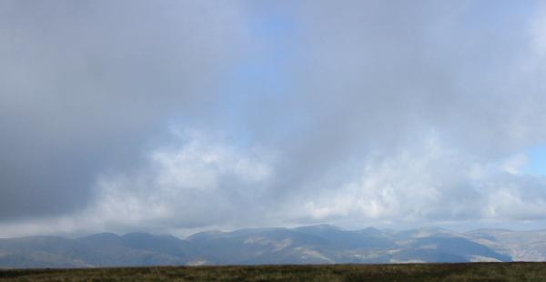
The view west from the summit as the cloud starts to build
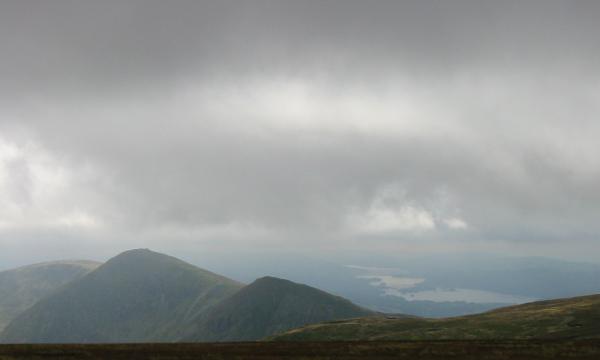
Looking south to Ill Bell, Froswick and Windermere
Nan Bield Pass and the ridge onto Harter Fell
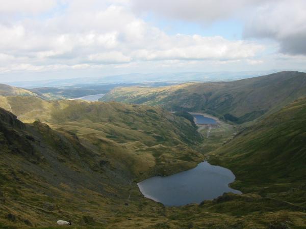
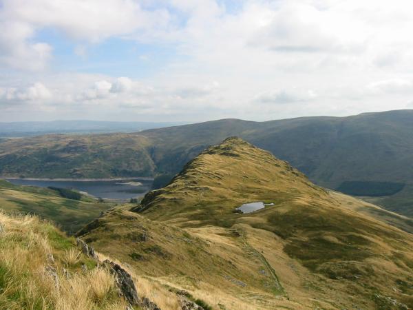
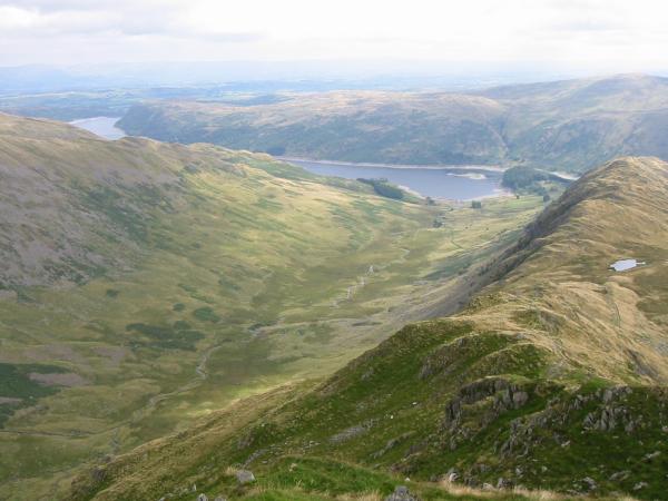
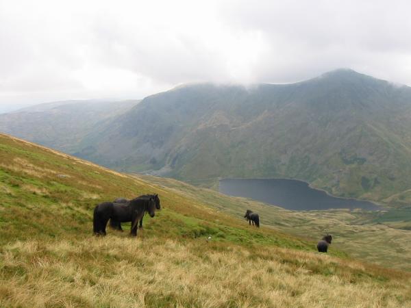
Small Water and Haweswater from above Nan Bield Pass
Kentmere Reservoir, Yoke and Ill Bell
Looking down on Small Water
Fell ponies above Kentmere
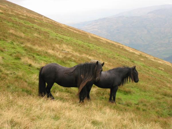
Fell ponies above Kentmere
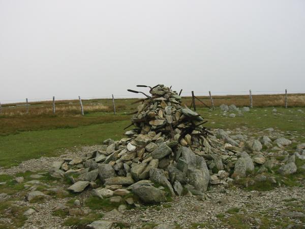
Harter Fell's summit cairn
Haweswater from the north east end of Harter Fell
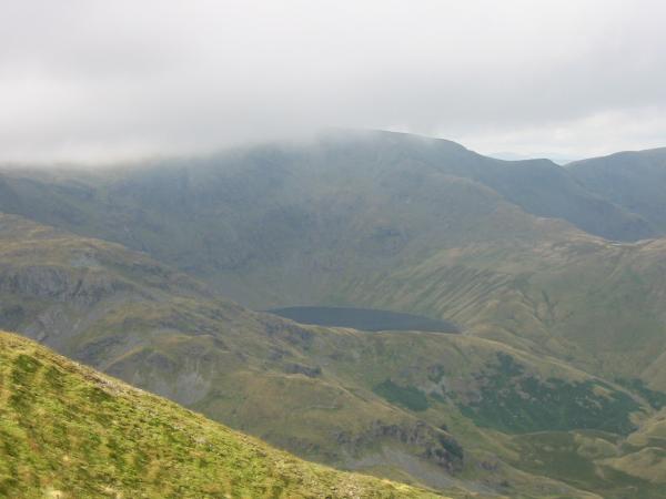
Blea Water with the top of High Street now in cloud
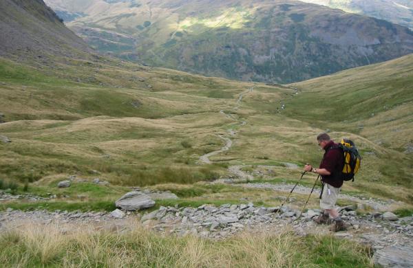
Descending from Gatescarth Pass down to Mardale Head
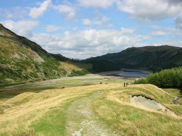
Almost back at the car park, Mardale Head
Previous Walk: Cross Fell from Kirkland (Sun 31 Aug 2003)
Next Walk: Knipescar Common (Sun 7 Sep 2003)