Iron Crag, Caw Fell, Haycock
Sat 30 Aug 2003
Route: Bowness car park, Ennerdale - Ennerdale Water - Iron Crag - Caw Fell - Little Gowder Crag - Haycock - Tewit How - Ennerdale Water - Bowness car park
Distance: 10.50 miles
Ascent: 2,800ft
Time: 5 hours 15 minutes
With: On Own
Notes:
Sunshine, becoming overcast
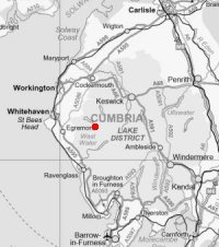
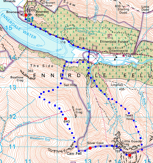
© Crown copyright. All rights reserved. Licence number AL100038401
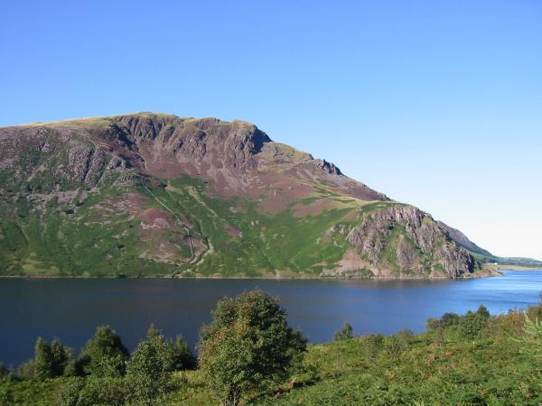
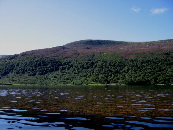
Looking across Ennerdale Water to Crag Fell
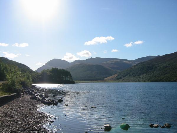
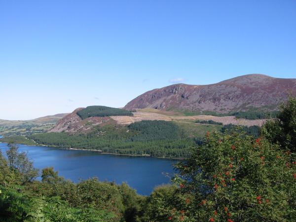
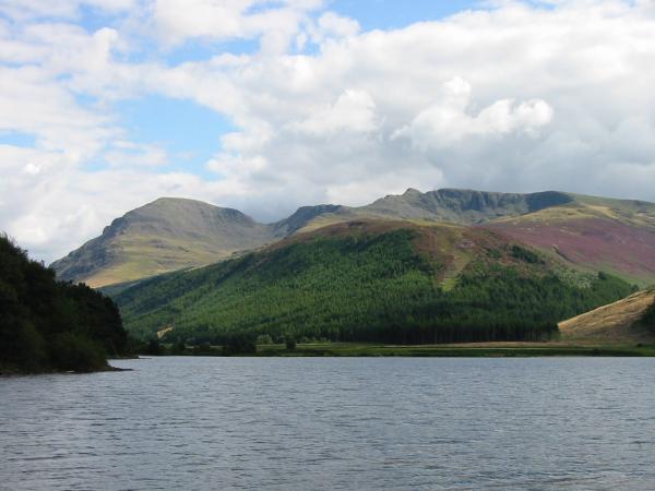
Pillar, Steeple and Scoat Fell from Ennerdale Water
Iron Crag
Bowness Knott, Herdus and Great Borne from the ascent of Iron Crag
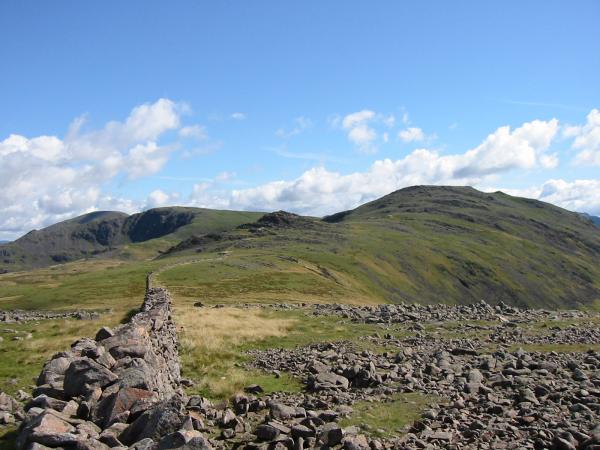
Looking back down the wall that my route followed (no path) up Iron Crag
Ennerdale from the ascent of Iron Crag
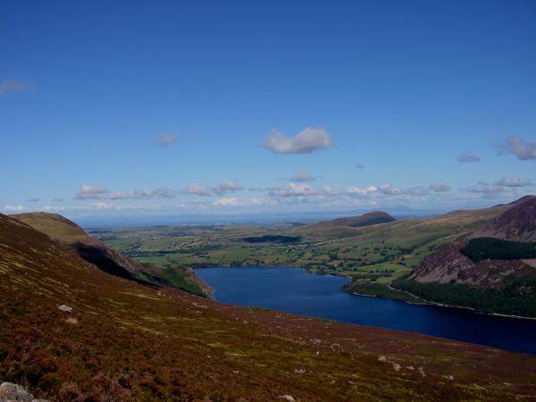
Looking down on Ennerdale Water from Iron Crag
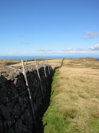
Wall on the top of Iron Crag
The Grasmoor fells, Red Pike and High Stile from Iron Crag summit cairn
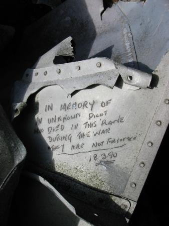
Aircraft wreckage in the summit cairn of Iron Crag

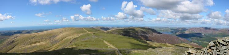
360 Panorama from Iron Crag's summit
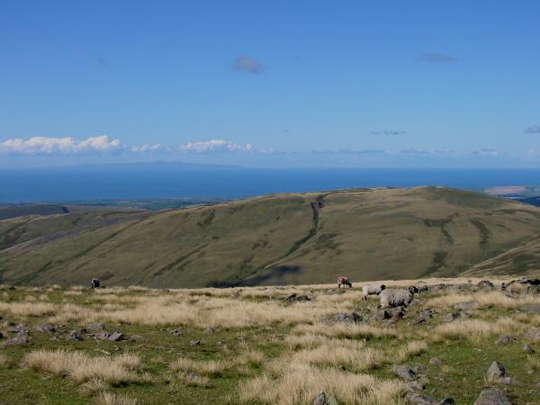
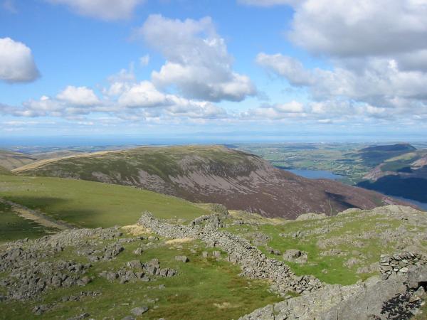
Lank Rigg with the Isle of Man on the horizon
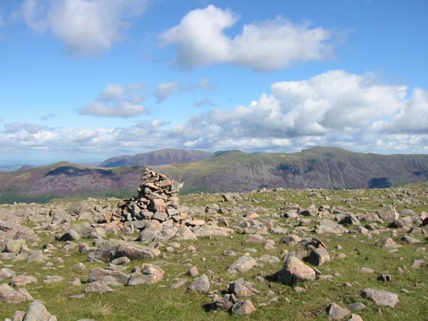
Pillar, Steeple and Scoat Fell
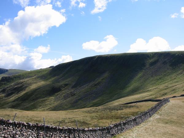
Caw Fell
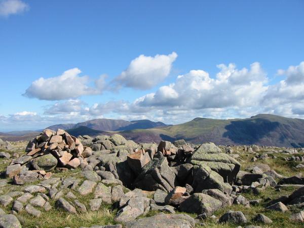
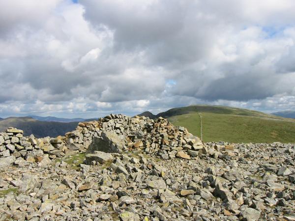
Caw Fell summit cairn

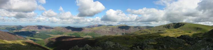
360 Panorama from Caw Fell's summit
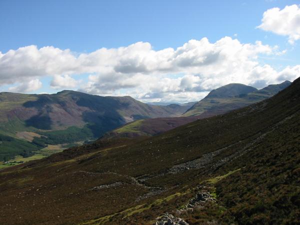
The wall to Haycock (right skyline) from Caw Fell
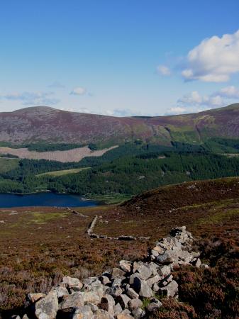
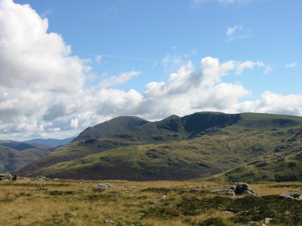
Looking back to Iron Crag from Little Gowder Crag
Westerly panorama from Little Gowder Crag
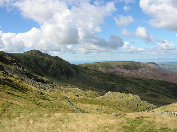
Northerly panorama from Little Gowder Crag
Haycock summit cairn

360 Panorama from Haycock's summit
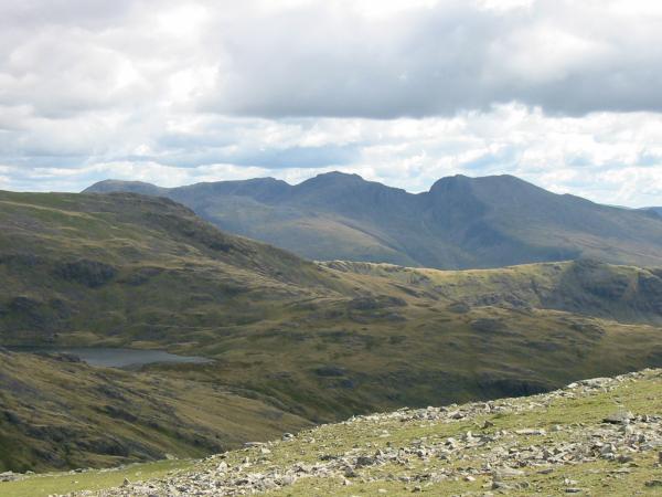
The Scafells from Haycock
Little Gowder Crag and Iron Crag from the descent
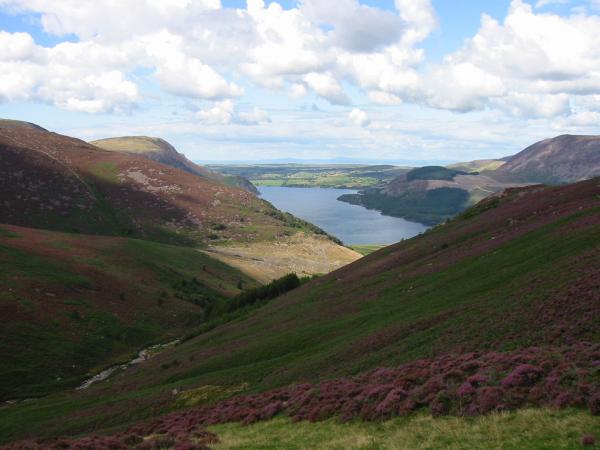
Ennerdale Water from the descent
Pillar, Steeple and Scoat Fell from Ennerdale Water
Previous Walk: Scafell Pike from Wasdale (Mon 25 Aug 2003)
Next Walk: Cross Fell from Kirkland (Sun 31 Aug 2003)