Grasmoor and Causey Pike
Thu 7 Aug 2003
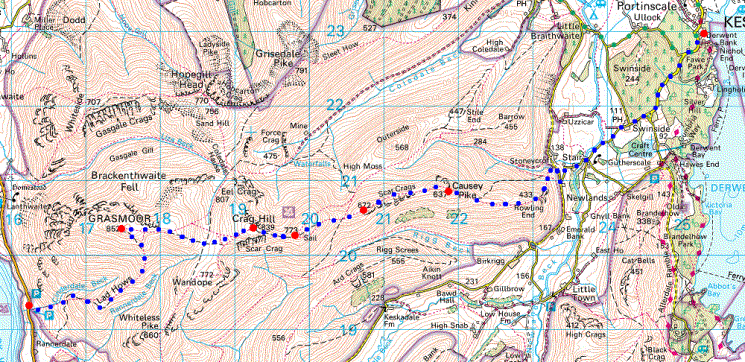
Route: Cinderdale Common - Lad Hows ridge - Grasmoor - Eel Crag (Crag Hill) - Sail - Sail Pass - Scar Crags - Causey Pike - Rowling End - Stonycroft near Stair - Stair - Swinside - Derwent Bank
Distance: 7.75 miles
Ascent: 3,250ft
Time: 6 hours 30 minutes
With: 7 HF Holdays guests
Notes:
Sunshine, very hazy
© Crown copyright. All rights reserved. Licence number AL100038401
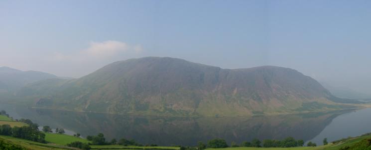
Looking across Crummock Water to Mellbreak
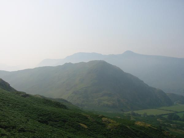
Rannerdale Knotts with the High Stile ridge behind
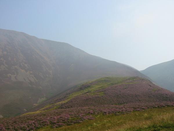
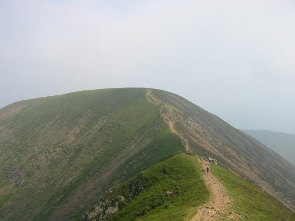
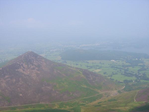
Lad Hows. Our route followed the skyline
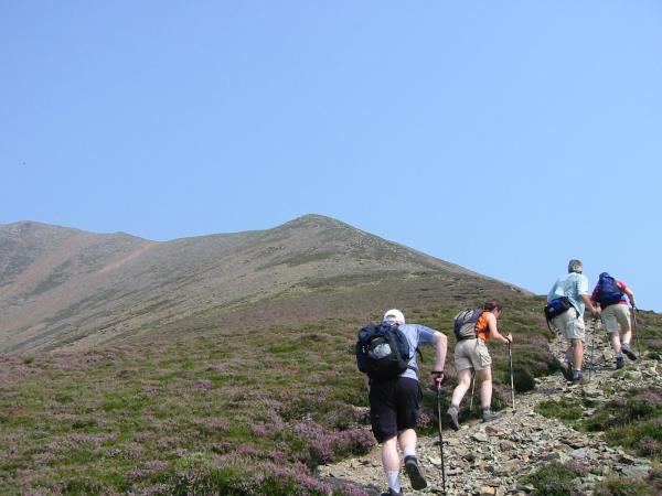
Ascending Lad Hows
Looking back down Lad Hows
Grasmoor summit
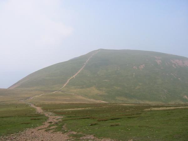
Heading for Eel Crag
Looking back to Grasmoor from the ascent of Eel Crag
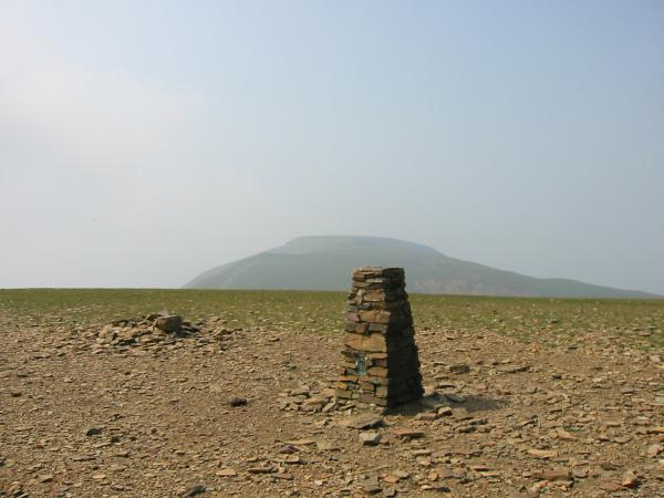
Eel Crag summit
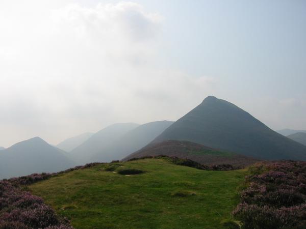
Sail with Outerside and the Causey Pike ridge just visible through the haze
Sail from the descent off Eel Crag
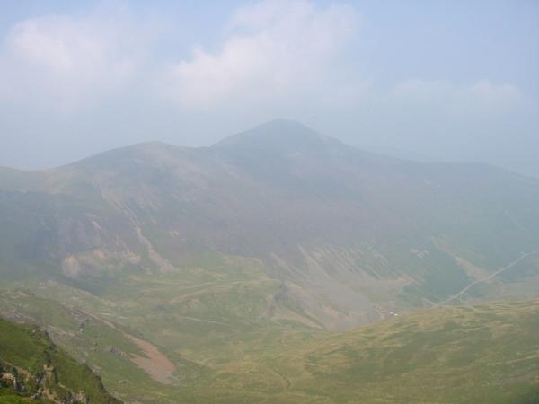
Grisedale Pike and Coledale
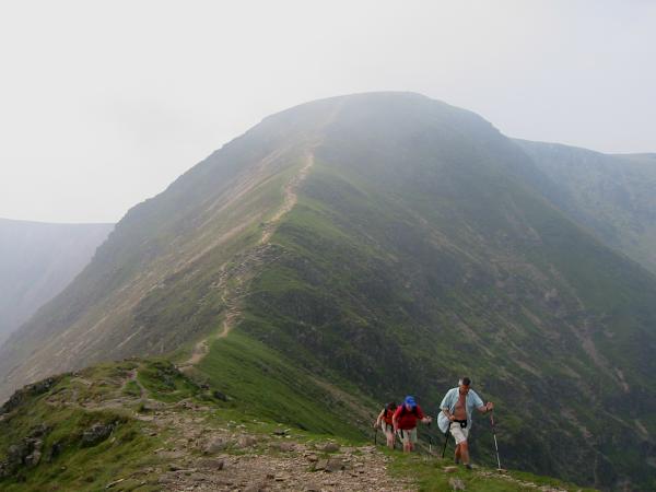
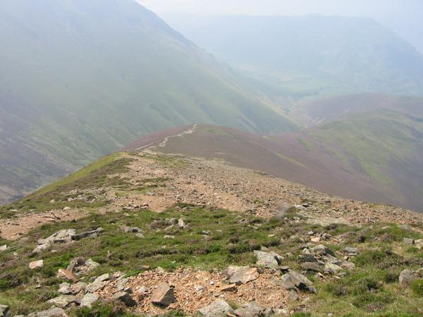
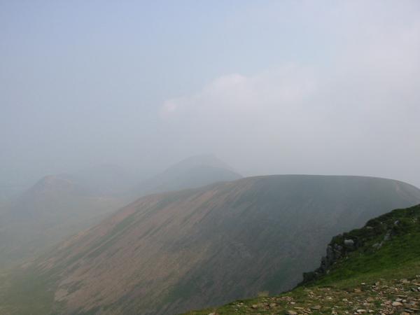
Looking back to Eel Crag from the ascent of Sail
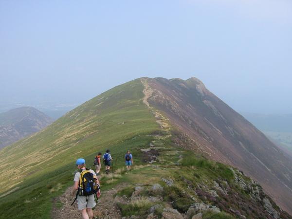
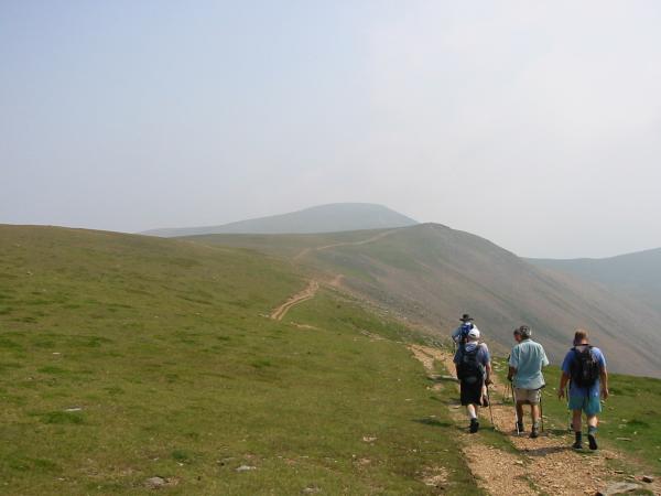
Heading for Causey Pike
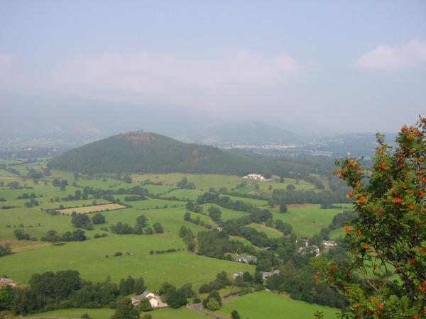
Barrow from Causey Pike
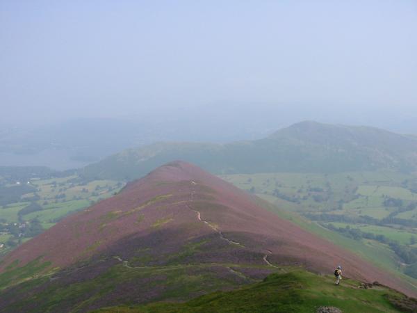
A heather covered Rowling End and Catbells
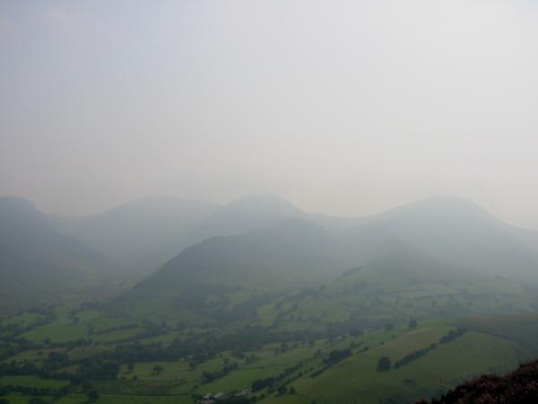
Dale Head, Hindscarth and Robinson
Looking back to Causey Pike from Rowling End
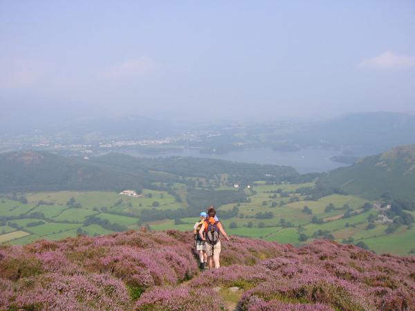
Derwent Water from Rowling End
Swinside from the descent to Stoneycroft
Previous Walk: Walla Crag (Wed 6 Aug 2003)
Next Walk: Upper Borrowdale (Fri 8 Aug 2003)