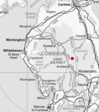
Dovedale and Dove Crag
Sat 12 Jul 2003
Route: Cow Bridge - Brothers Water - Hartsop Hall - Dovedale - Dove Crag - High Bakestones - Little Hart Crag - High Hartsop Dodd - Hartsop Hall - Brothers Water - Cow Bridge
Distance: 6.50 miles
Ascent: 2,250ft
Time: 3 hours 50 minutes
With: Anne
Notes:
Broken cloud above the tops, becoming scattered, sunny, windy on the tops
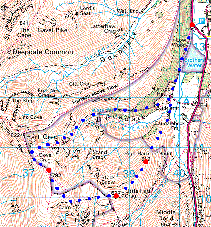
© Crown copyright. All rights reserved. Licence number AL100038401
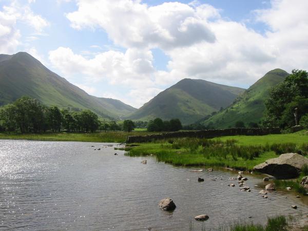
Rough Edge leading onto Caudale Moor, Kirkstone Pass, Middle Dodd and High Hartsop Dodd from Brothers Water
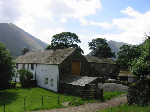
Hartsop Hall
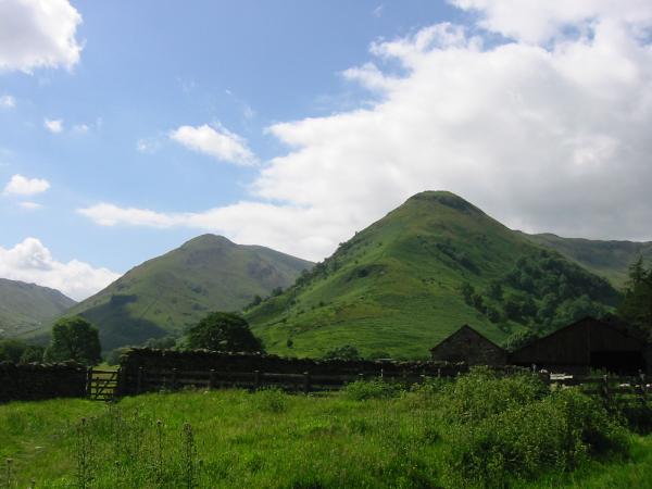
Middle Dodd and High Hartsop Dodd from near Hartsop Hall
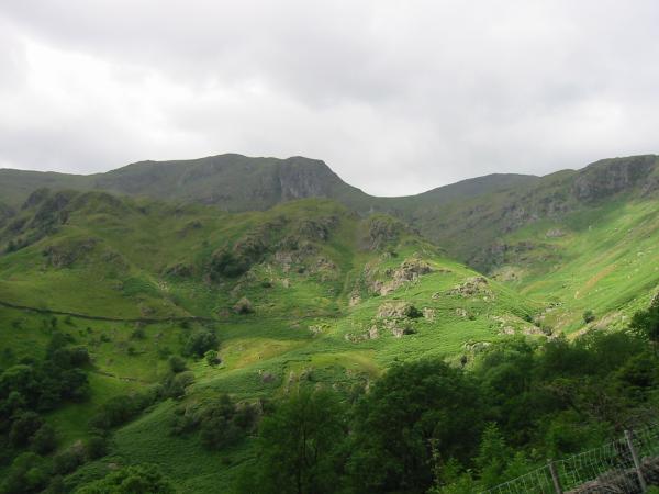
Dove Crag partly hidden by Stangs
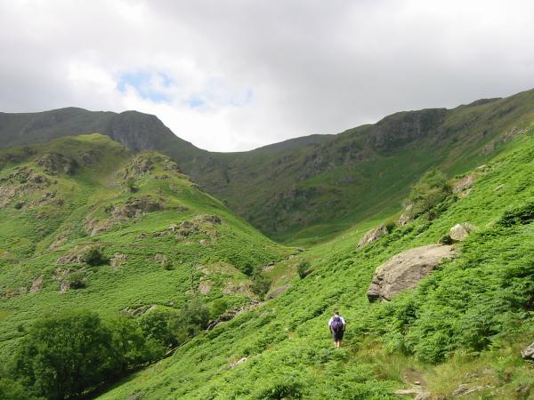
Heading up Dovedale
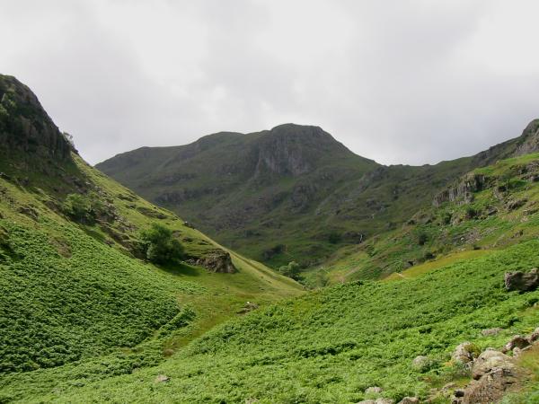
Dove Crag at the head of Dovedale
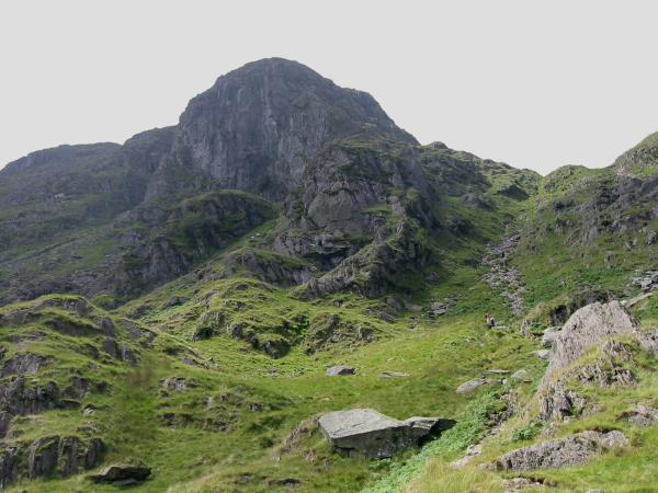
Dove Crag and the scree slope that the path ascends
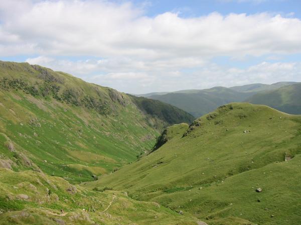
The view back down Dovedale
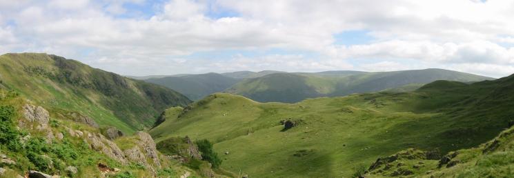
Hartsop Above How on the left and the far eastern fells seen above Stangs
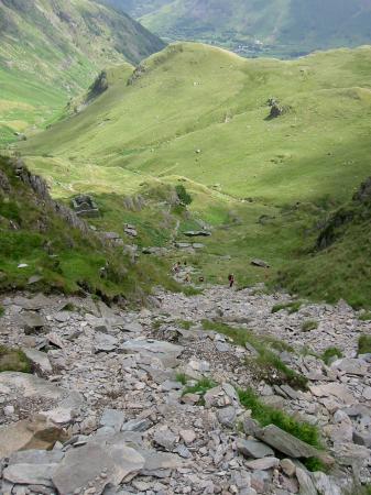
Looking back down the scree beside Dove Crag
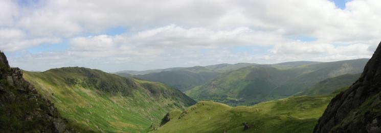
Easterly panorama from the ascent out of Dovedale
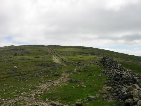
Having gained the ridge between Hart Crag and Dove Crag just follow the wall to the summit

Great Rigg, Fairfield and Hart Crag from the route up Dove Crag
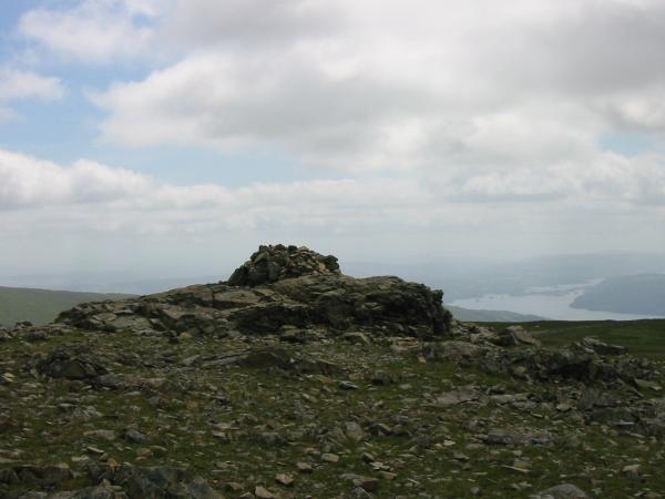
Dove Crag summit
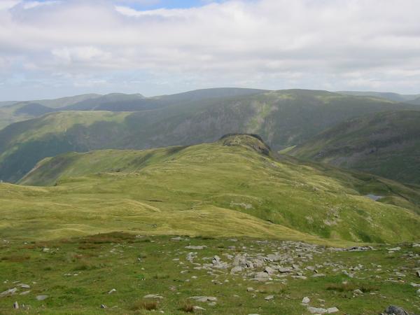
Looking down on the rocky top of Little Hart Crag
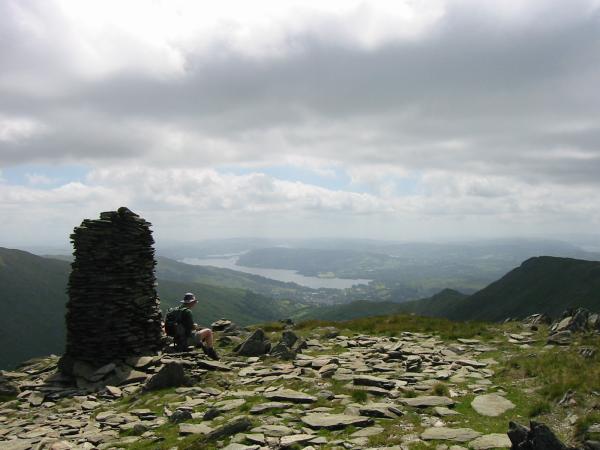
Windermere from High Bakestones with Low Pike and High Pike on the right
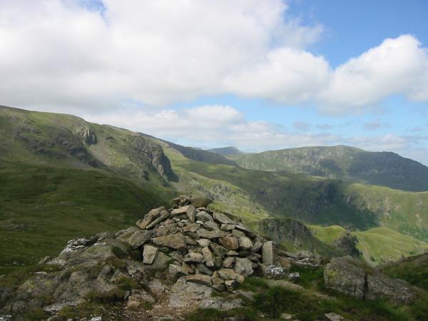
Dove Crag, Helvellyn and Saint Sunday Crag from Little Hart Crag summit

360 Panorama from Little Hart Crag's summit

Northerly panorama from Little Hart Crag
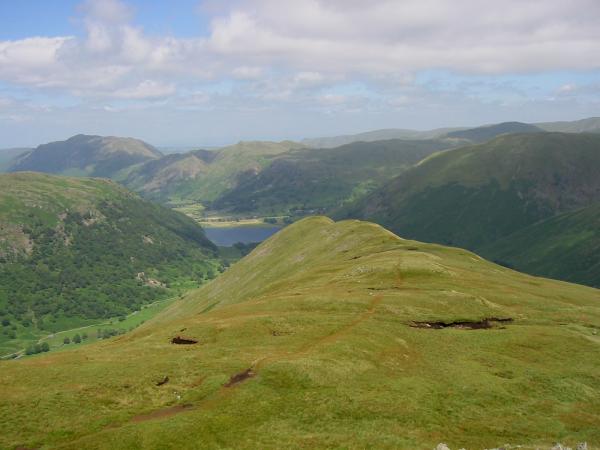
The ridge to High Hartsop Dodd
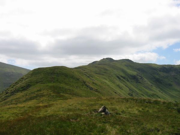
Little Hart Crag from High Hartsop Dodd summit
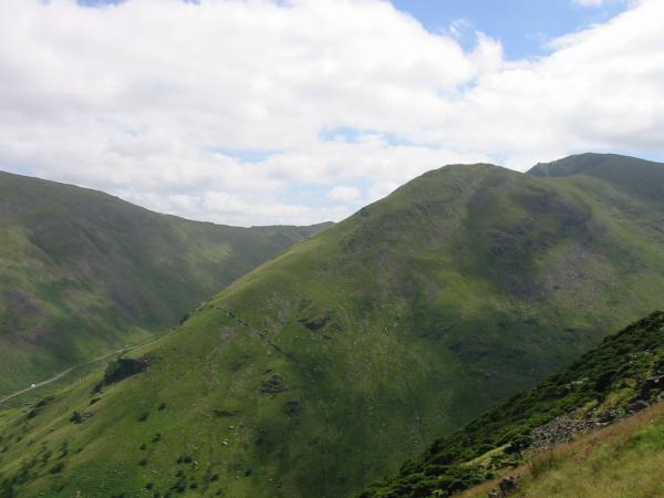
The Kirkstone Pass road, Middle Dodd and Red Screes from High Hartsop Dodd summit
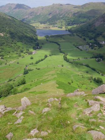
Looking down High Hartsop Dodd's north ridge
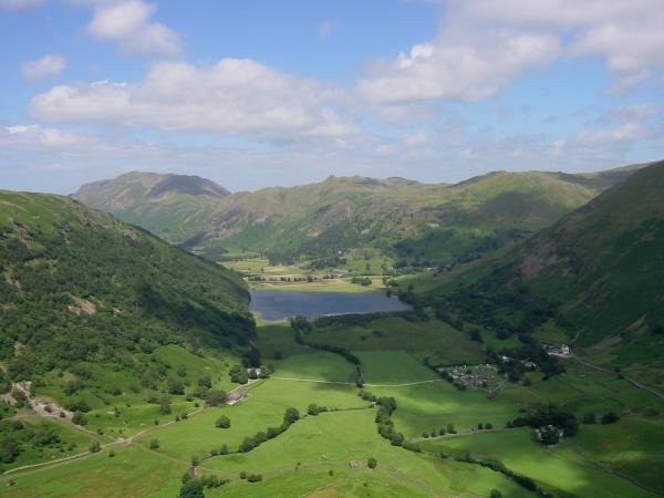
Brothers Water from the descent off High Hartsop Dodd with Place Fell, Angletarn Pikes and Brock Crags beyond
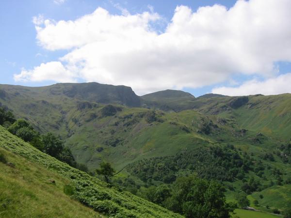
Stangs with Dove Crag and Hart Crag behind from the descent off High Hartsop Dodd
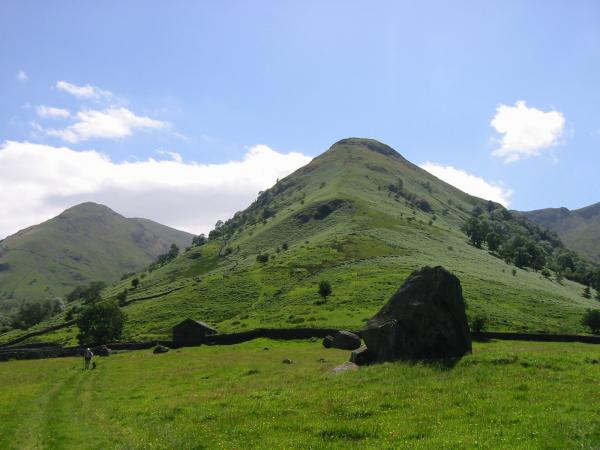
Looking back up High Hartsop Dodd from the valley
Previous Walk: High Pike, Caldbeck (Sun 6 Jul 2003)
