Castlerigg Stone Circle and High Rigg
Wed 2 Jul 2003
Route: Castlerigg Stone Circle - Naddle Bridge - Tewet Tarn - Low Rigg - St John's in the Vale Church - High Rigg - Nest - Castlerigg Stone Circle
Distance: 4.75 miles
Ascent: 1,100ft
Time: 1 hour 50 minutes
With: On Own
Notes:
Evening walk, overcast

© Crown copyright. All rights reserved. Licence number AL100038401
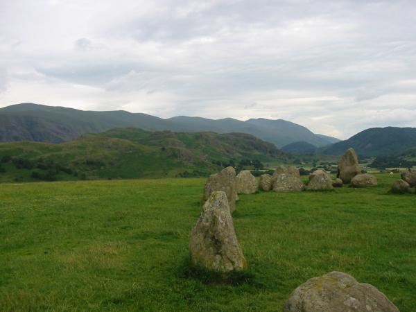
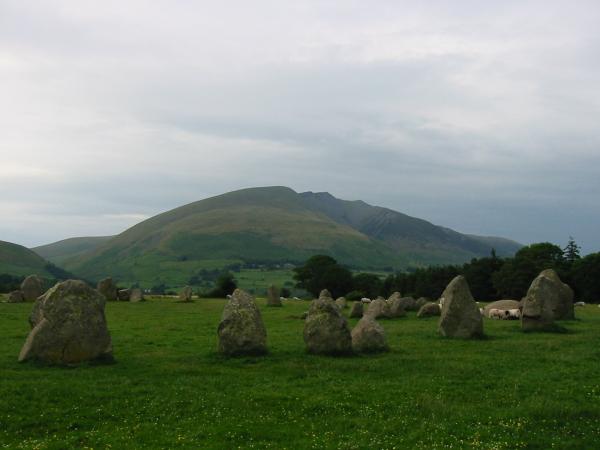
High Rigg with the Helvellyn ridge behind from Castlerigg Stone Circle

Blencathra
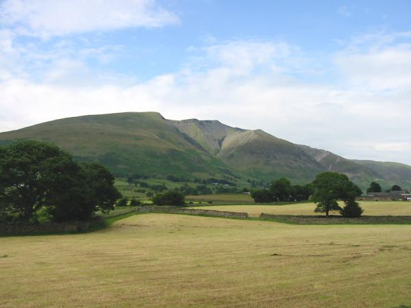
Blencathra

Eel Crag and Grisedale Pike from Tewet Tarn

Skiddaw Little Man, Lonscale Fell and Blencathra from Tewet Tarn

High Rigg from Low Rigg

Clough Head

St John's in the Vale church

Thirlmere from High Rigg summit

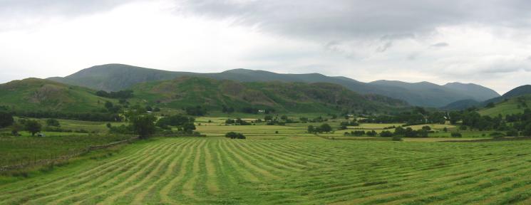
Southerly panorama from High Rigg summit

Dodd Crag with Bleaberry Fell behind
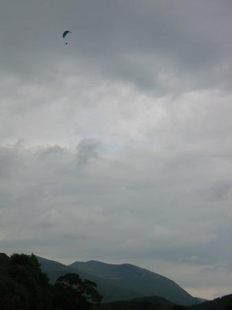
A paraglider with Helvellyn in the distance
Looking back to High Rigg

High Nest
Blencathra from Castlerigg Stone Circle
Previous Walk: Calfhow Pike and the Dodds (Sun 29 Jun 2003)
Next Walk: Sheffield Pike (Fri 4 Jul 2003)