Whiteside to Whiteless Pike
Tue 7 Feb 2012
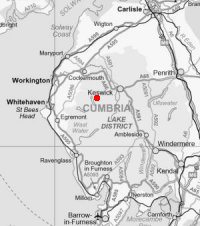
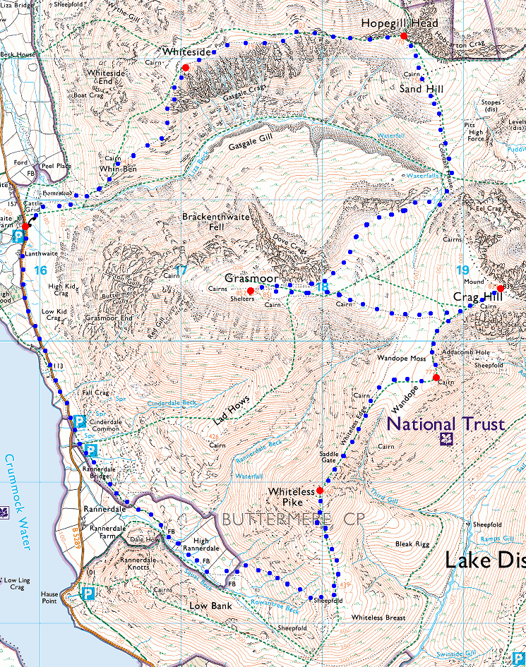
Route: Lanthwaite Green - Whin Ben - Whiteside - Hopegill Head - Sand Hill - Coledale Hause - Grasmoor - Eel Crag (Crag Hill) - Wandope - Thirdgill Head Man - Whiteless Edge - Saddle Gate - Whiteless Pike - High Rannerdale - Cinderdale Common - road - Lanthwaite Green
Distance: 10.75 miles
Ascent: 3,650ft
Time: 5 hours 20 minutes
With: On own
Notes:
Lots of blue sky and sunshine but cloud building to the south. Not much wind, just a few icy blasts
© Crown copyright. All rights reserved. Licence number AL100038401
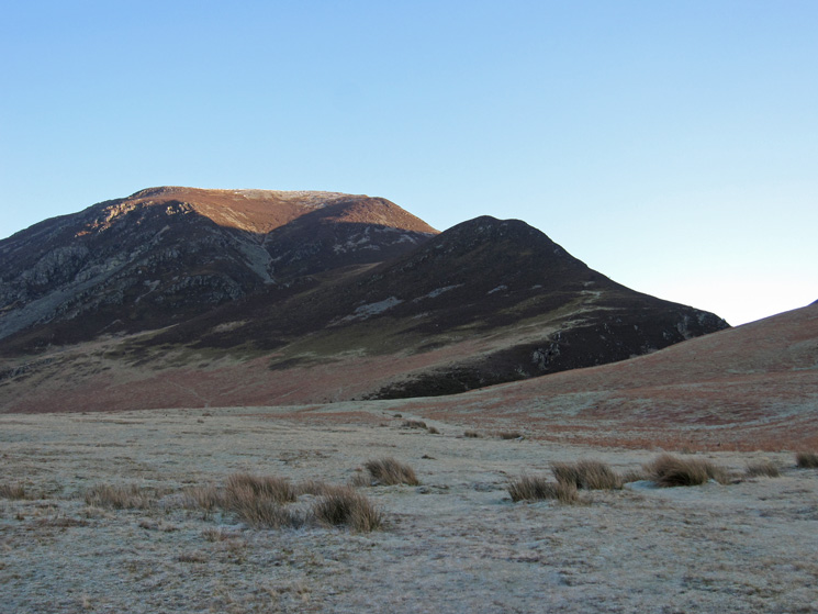
Whiteside and Whin Ben from a frosty Lanthwaite Green
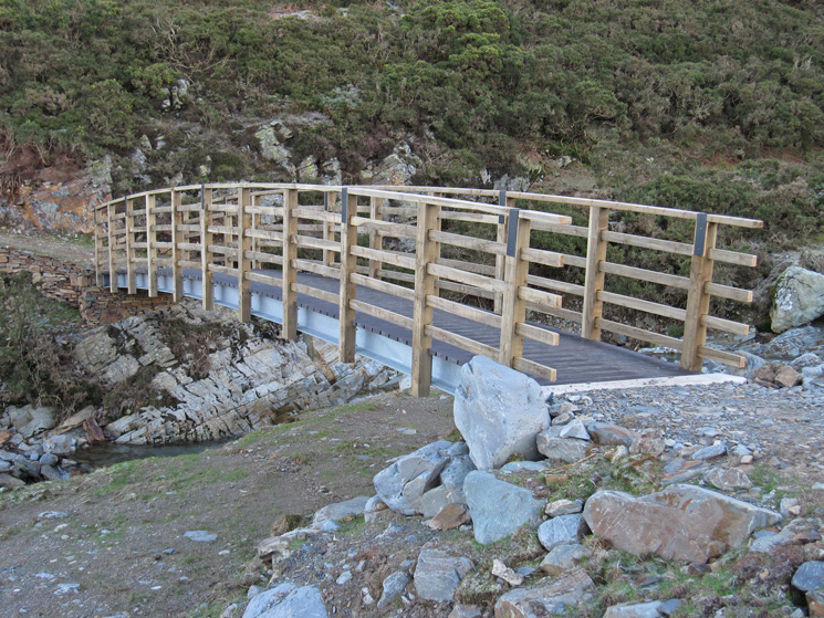
The new bridge over Liza Beck
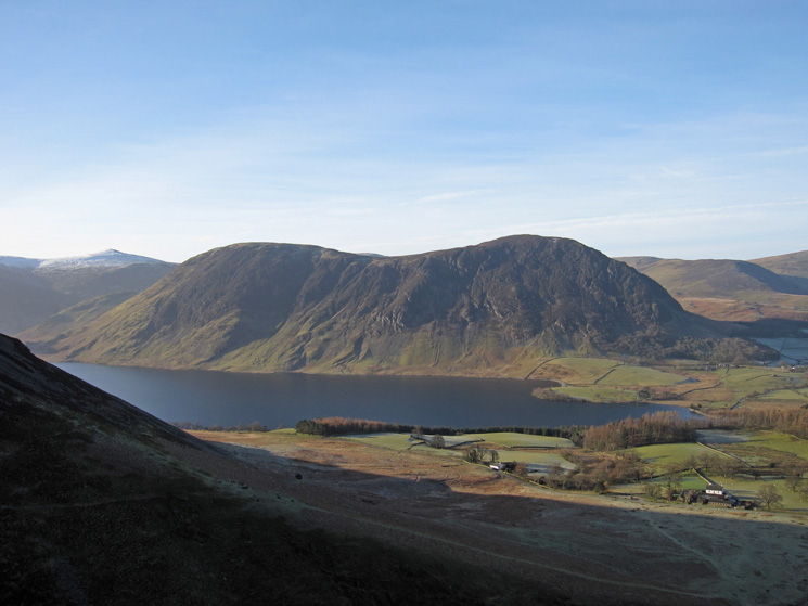
Mellbreak and Crummock Water from the climb up Whin Ben
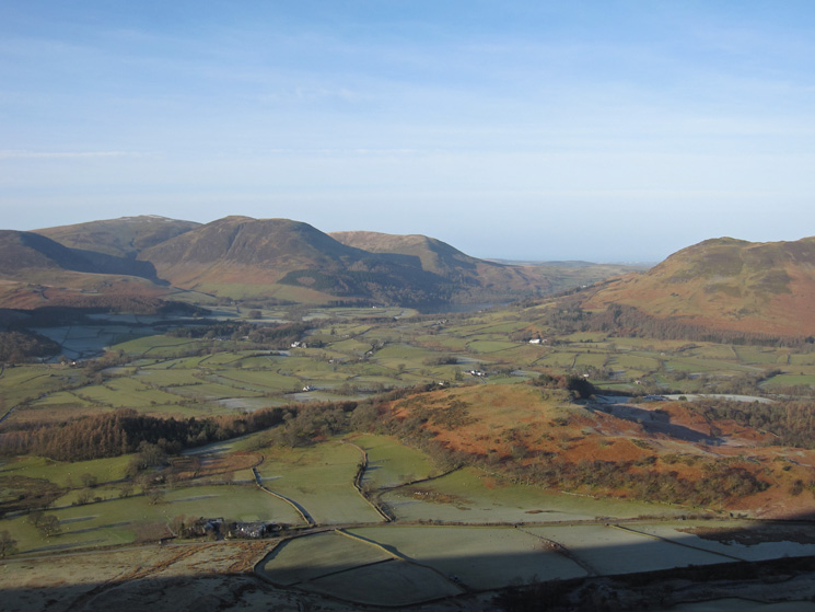
Looking west to Loweswater
Above Whin Ben and in the sun. Mellbreak on the far side of Crummock Water
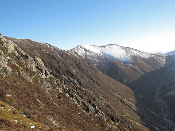
Gasgale Crags, Gasgale Gill far below and snow on Hopegill Head and Sand Hill
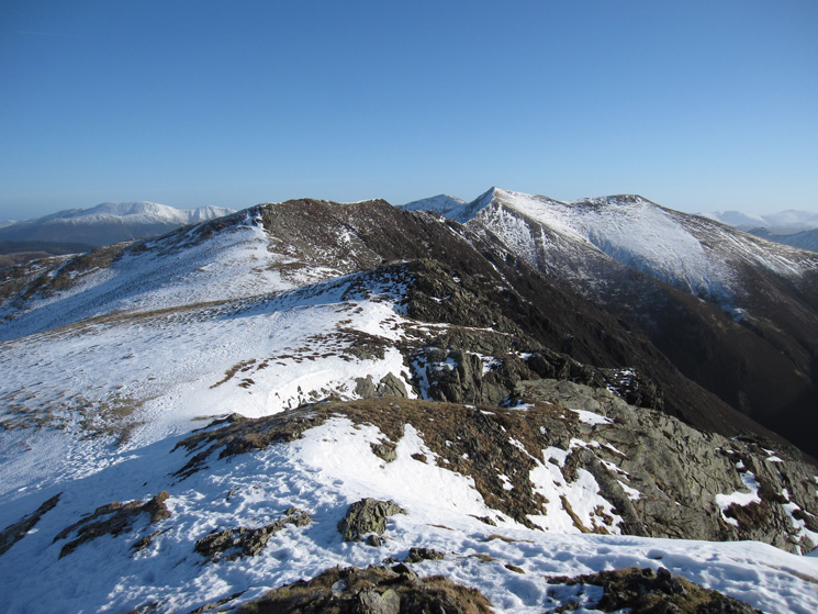
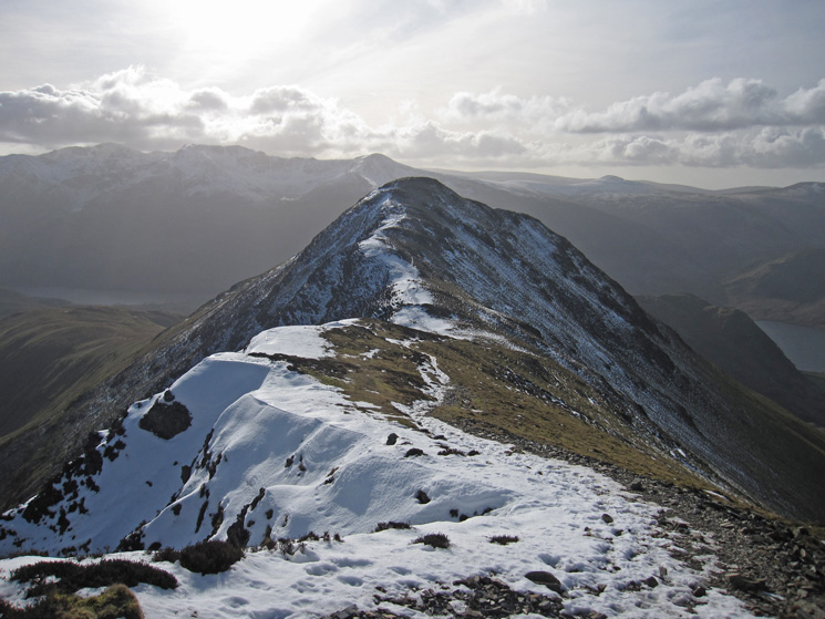
The ridge to Hopegill Head from Whiteside's summit
On the ridge, looking towards Hopegill Head
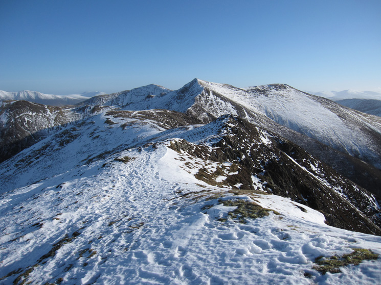
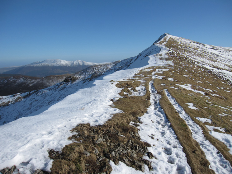
Further along the ridge which is narrower at the Hopegill Head end
On the ridge, just before the last steeper section up to Hopegill Head
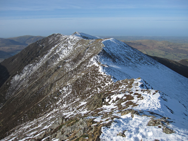
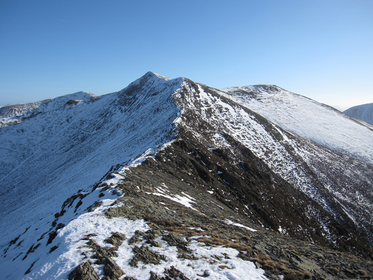
Looking back along the ridge towards Whiteside
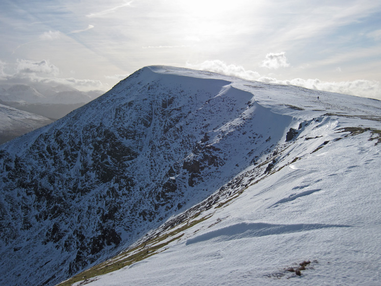
The final section up to Hopegill Head's summit
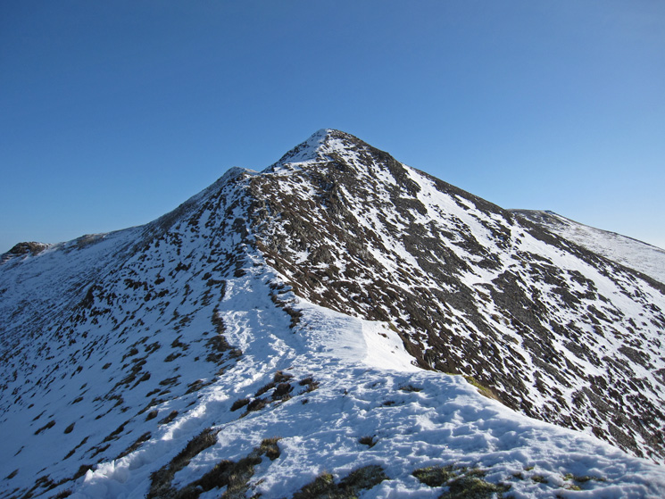
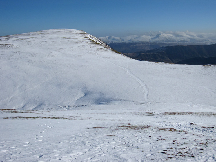
Towards Whiteside from Hopegill Head's summit, a great ridge walk
Coledale Hause with Eel Crag (Crag Hill) beyond from Sand Hill
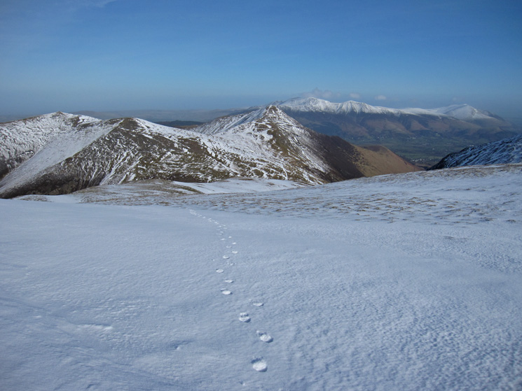
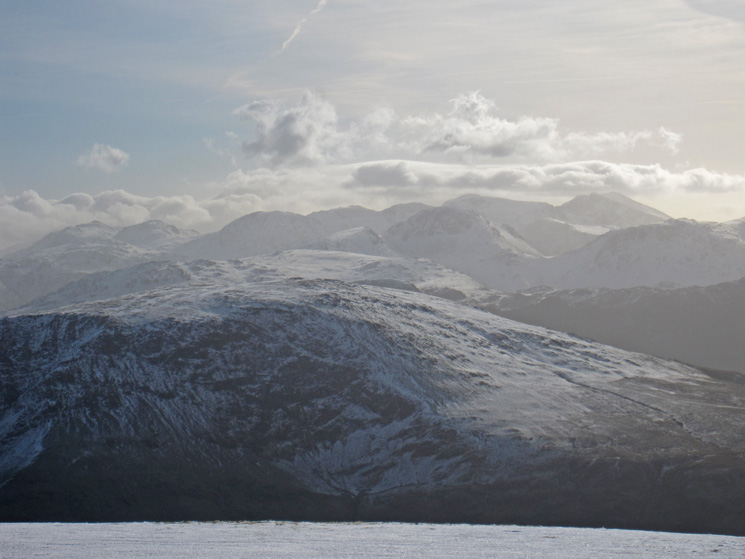
Grisedale Pike and Coledale with the Skiddaw fells and Blencathra beyond from my route up Grasmoor
The Whiteside to Hopegill Head (out of shot) ridge and Gasgale Crags
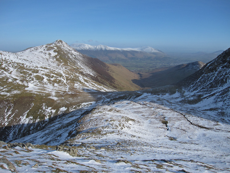
Hopegill Head, Sand Hill, Grisdale Pike, Skiddaw, Skiddaw Little Man and Blencathra
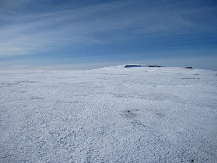
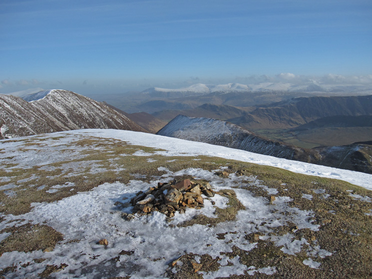
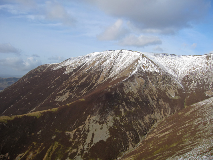
The flat top of Grasmoor
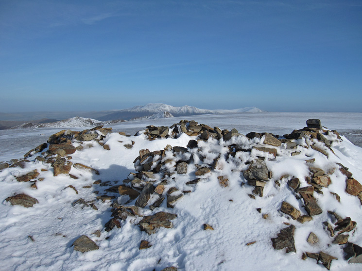
Grasmoor's summit cairn
Whiteless Pike and the view south
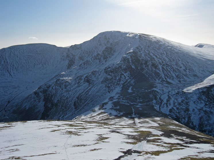
Eel Crag (Crag Hill) and the Helvellyn range in the distance
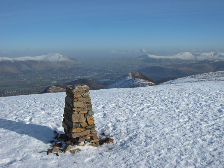
Eel Crag (Crag Hill) trig point with Keswick far below
Over Robinson to Great Gable and the Scafells
Wandope
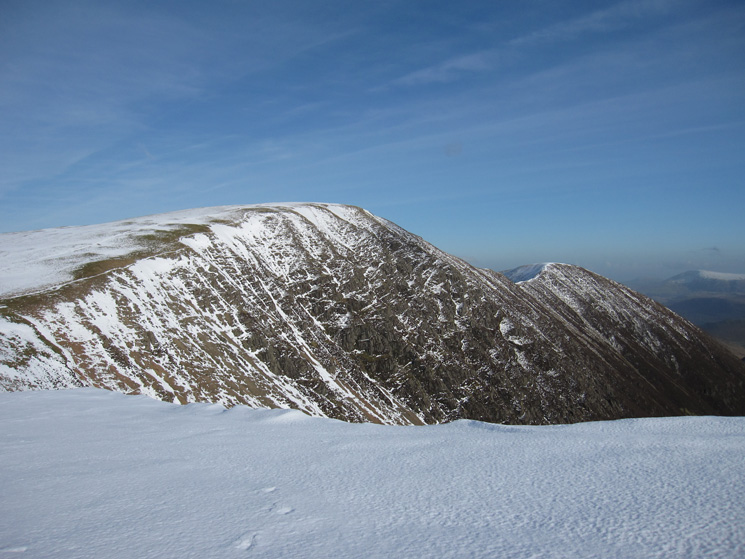
Looking back to Crag Hill with Sail on the right
East towards the Helvellyn range from Wandope's summit
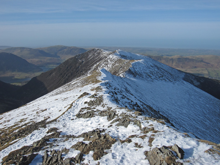
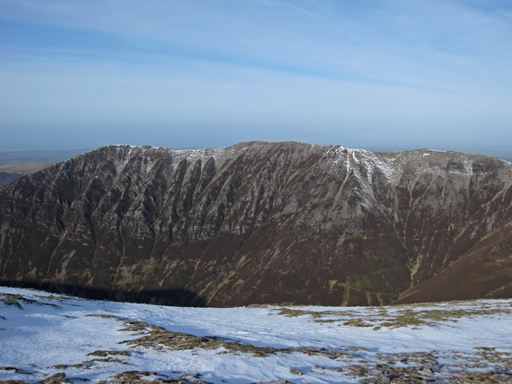
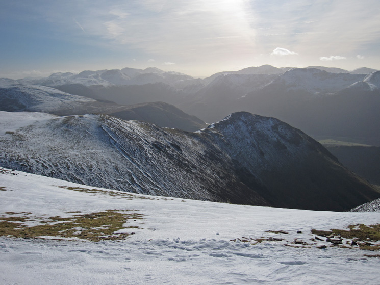
Whiteless Edge to Whiteless Pike
Lad Hows onto Grasmoor
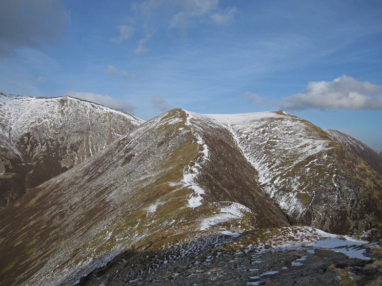
Looking back to Whiteless Edge
Rannerdale Knotts and Rannerdale
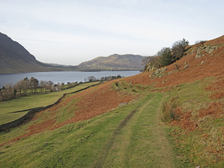
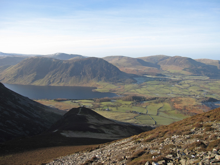
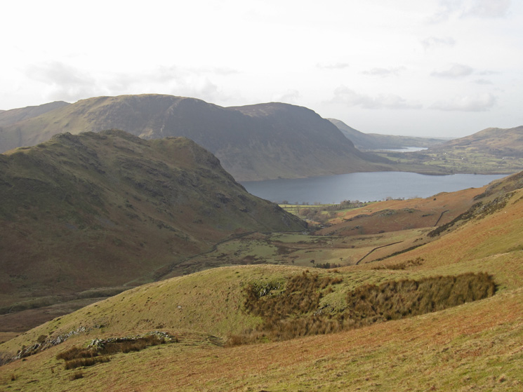
The track to Cinderdale Common. Low Fell in the distance beyond Crummock Water
Previous Walk: Angletarn Pikes, Angle Tarn and Brock Crags from Patterdale (Sun 5 Feb 2012)
Next Walk: Walla Crag (Sat 11 Feb 2012)