High Tove and Armboth Fell
Sun 16 Feb 2003
Route: Armboth - High Tove - Middle Crag - Armboth Fell - Fisher Crag - Launchy Gill - Thirlmere - Armboth
Distance: 5.00 miles
Ascent: 1,200ft
Time: 2 hours 45 minutes
With: Anne
Notes:
Hazy sunshine, broken cloud
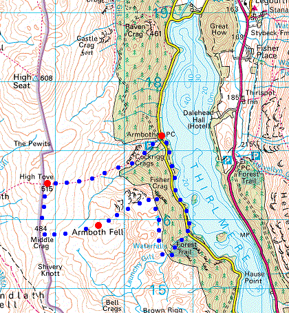
© Crown copyright. All rights reserved. Licence number AL100038401
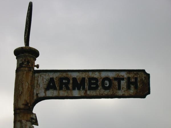
Signpost for Armboth from the A591
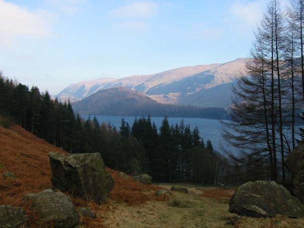
A wooded Great How and the Dodds from above Armboth
The Helvellyn ridge from above Armboth
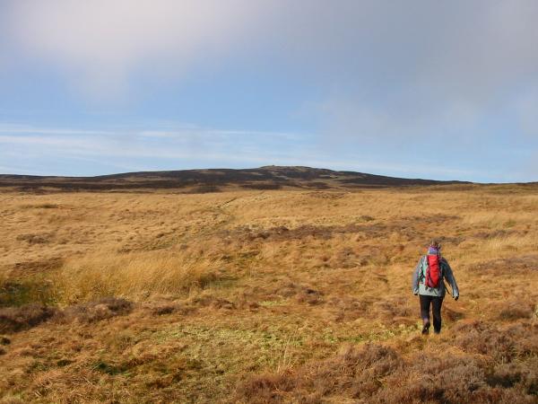
Heading across the semi frozen bog to High Tove summit
High Seat from High Tove summit
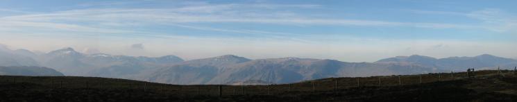
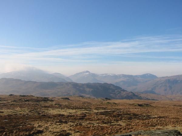
Westerly panorama from High Tove
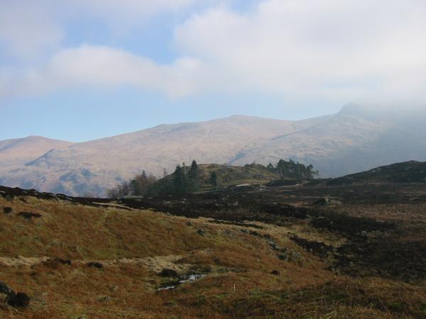
Great Gable and Pillar from Middle Crag
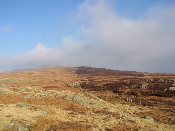
Looking back to High Tove with High Seat in the distance from Middle Crag
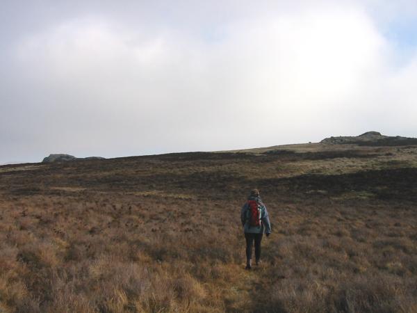
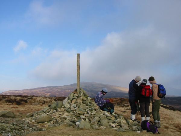
Heading for Armboth Fell. The rocks on the left are the summit
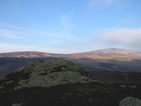
High Tove and High Seat from Armboth Fell
Fisher Crag
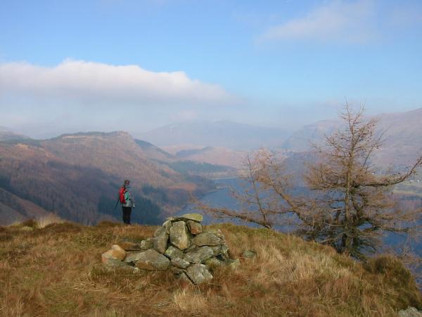
Raven Crag and Thirlmere with Blencathra in the distance from Fisher Crag
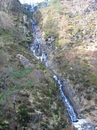
Semi frozen waterfalls in Launchy Gill
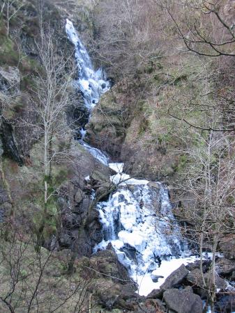
Semi frozen waterfalls in Launchy Gill
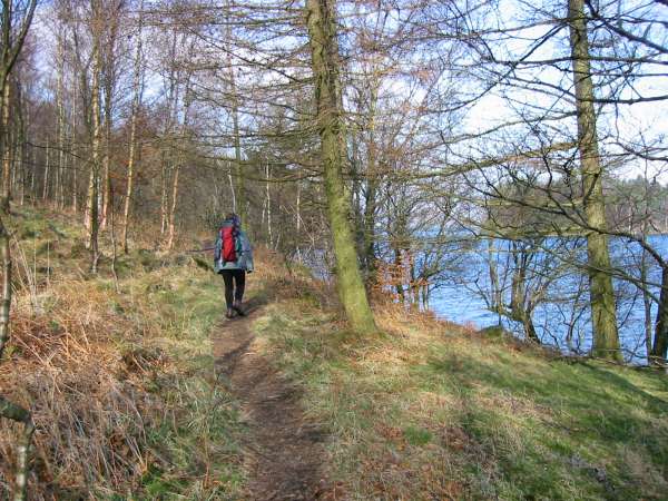
Thirlmere shoreline path
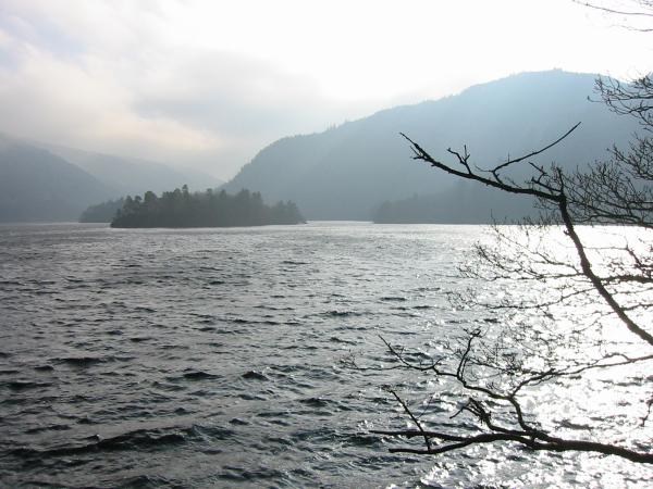
Looking south up Thirlmere
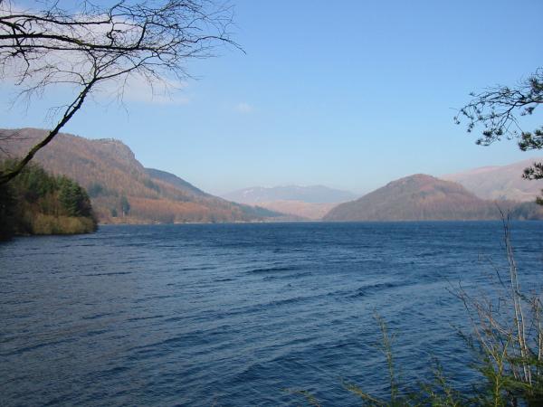
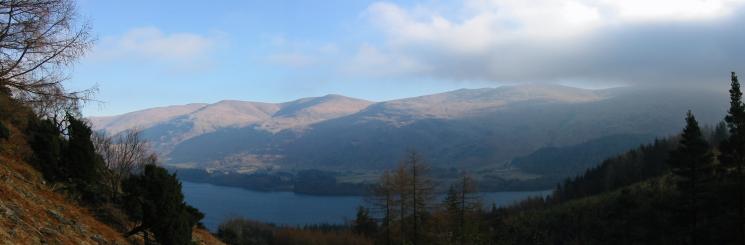
Looking north down Thirlmere towards Raven Crag, Blencathra and Great How
Previous Walk: Great Gable plus (Sat 15 Feb 2003)