Seatallan
Fri 6 Dec 2002
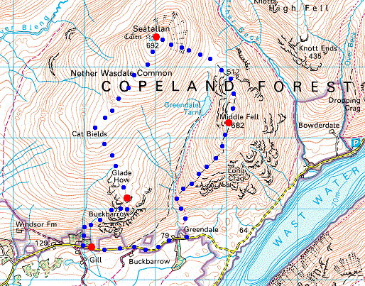
Route: Harrow Head Farm, Wasdale - Buckbarrow - Glade How - Seatallan - Middle Fell - Greendale - road - Harrow Head Farm
Distance: 7.00 miles
Ascent: 2,450ft
Time: 3 hours 20 minutes
With: Anne
Notes:
Cloud above the tops, sunshine
© Crown copyright. All rights reserved. Licence number AL100038401
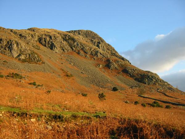
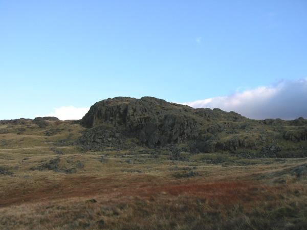
Buckbarrow from near Harrow Head
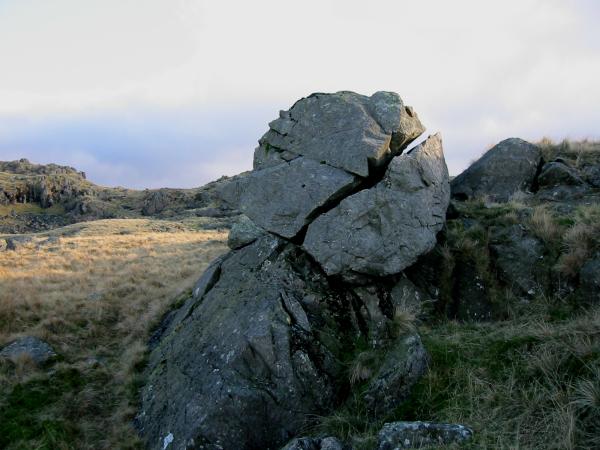
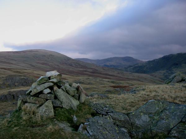
AW's 'perched and split boulder', Buckbarrow
Looking across to Buckbarrow's summit
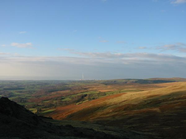
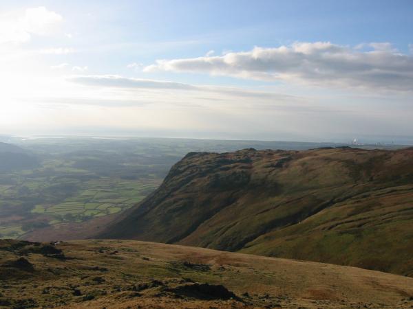
Sellafield on the coast can be seen to the west
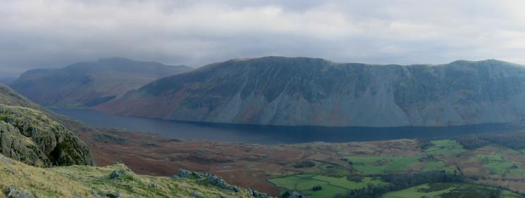
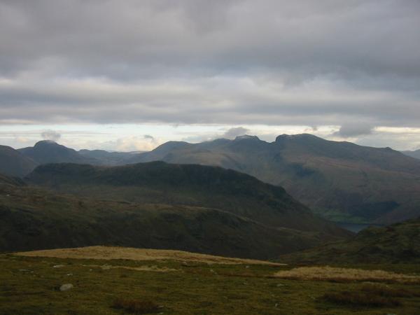
The Scafells, Wastwater and The Screes from Buckbarrow
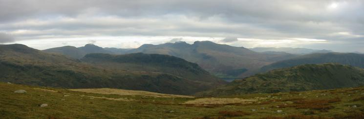
Panorama: Seatallan, in sunshine to The Scafells from Buckbarrow
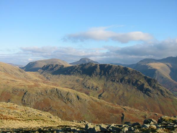
Buckbarrow summit, looking towards Seatallan, Scoat Fell and Red Pike (Wasdale)
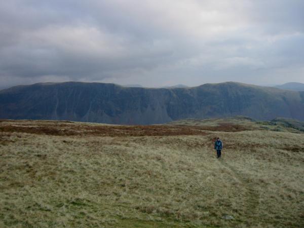
Ascending Seatallan with The Screes behind
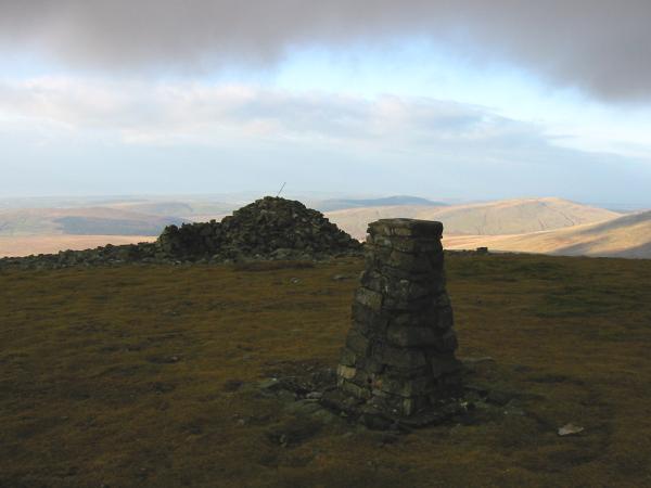
Seatallan's summit
Great Gable and The Scafells from Seatallan's summit

360 Panorama from Seatallan's summit
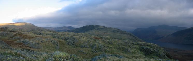
Looking over Yewbarrow to Great Gable and The Scafells
Looking over Yewbarrow to Great Gable and The Scafells
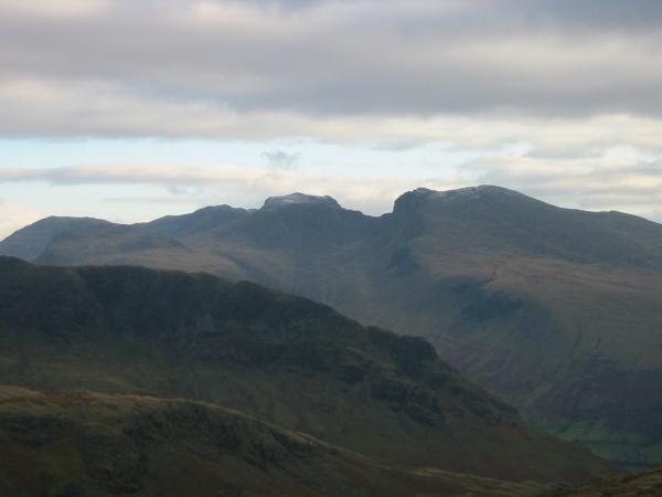
The Scafells, a touch of snow
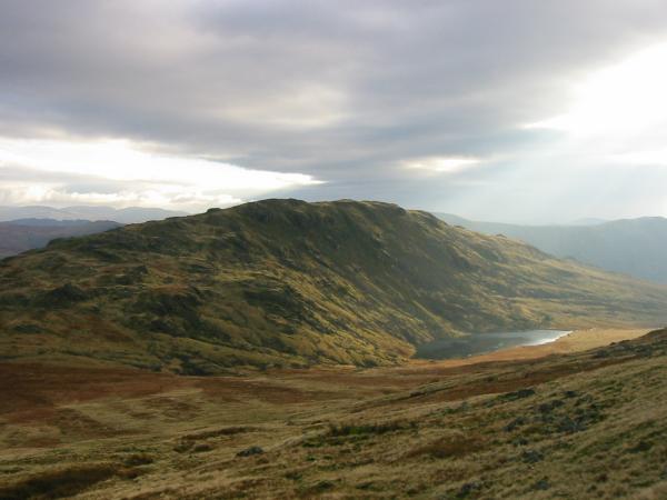
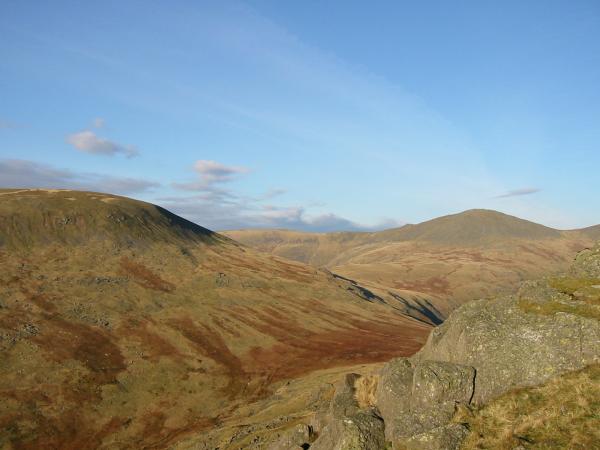
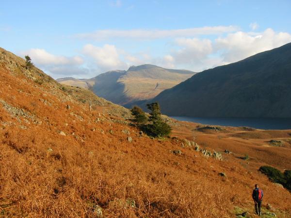
Middle Fell and Greendale Tarn from the descent off Seatallan
Yewbarrow with Kirk Fell and Great Gable behind
Seatallan and Haycock from Middle Fell
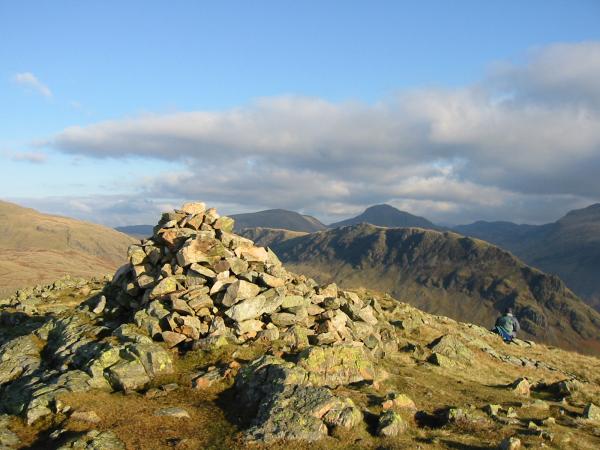
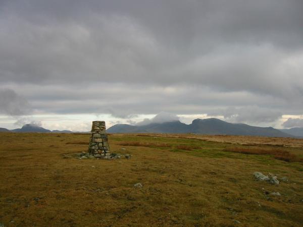
Middle Fell summit

360 Panorama from Middle Fell's summit
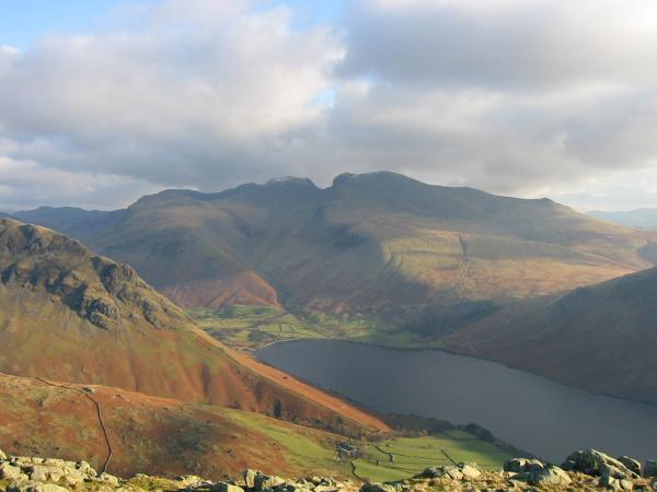
The Scafells and Wastwater from Middle Fell's summit
Looking across Greendale Gill to Buckbarrow
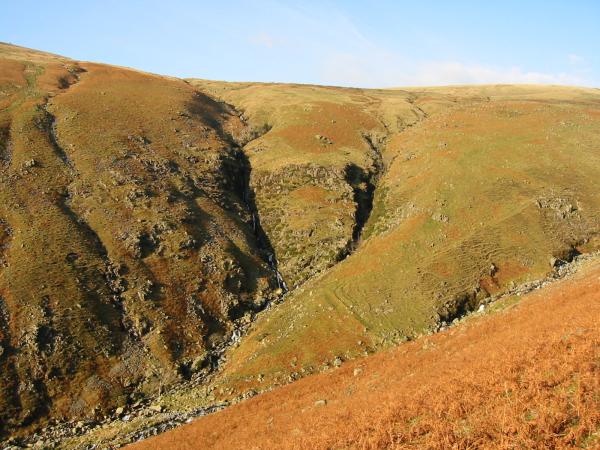
Tongues Gills into Greendale Gill
The Scafells from the descent off Middle Fell
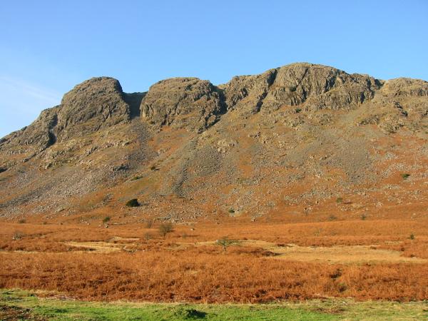
Looking up at Buckbarrow from the road
Previous Walk: Dale Head (Sun 1 Dec 2002)
Next Walk: Kirk Fell direct and Great Gable (Sat 7 Dec 2002)