Scafell and Slight Side from Eskdale
Sat 28 Sep 2002
Route: Brotherilkeld, Eskdale - River Esk - Lingcove Bridge - River Esk - Great Moss - Sampson's Stones - Cam Spout - Foxes Tarn - Symonds Knott - Scafell - Long Green - Slight Side - Catcove Beck - Taw House - Brotherilkeld
Distance: 9.00 miles
Ascent: 3,150ft
Time: 5 hours 15 minutes
With: On Own
Notes:
Overcast, cloud above tops, light breeze
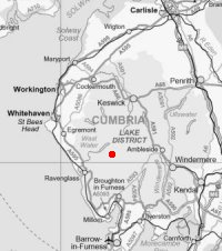
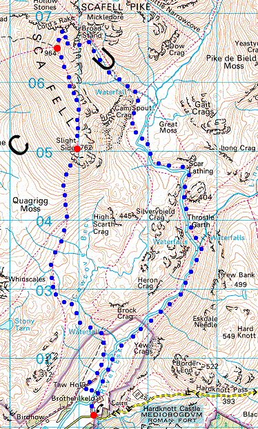
© Crown copyright. All rights reserved. Licence number AL100038401
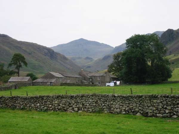
Looking up Eskdale to Bowfell from Brotherilkeld
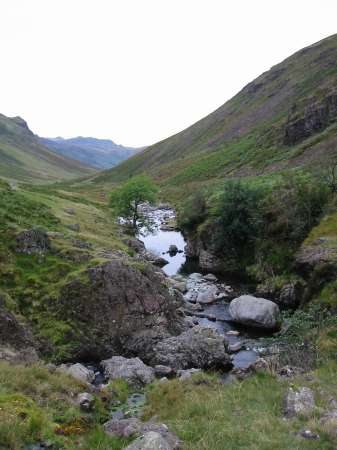
The River Esk
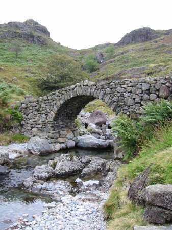
Lingcove Bridge
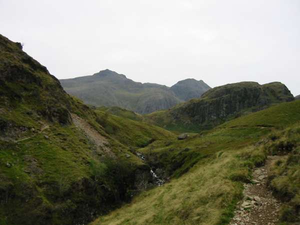
Scafell Pike and Ill Crag from below Green Crag
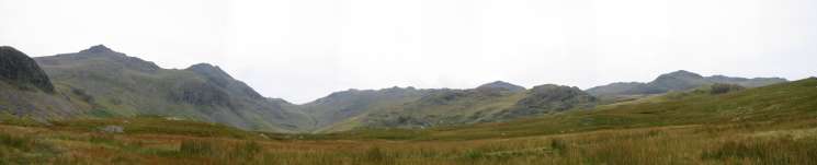
Great Moss panorama
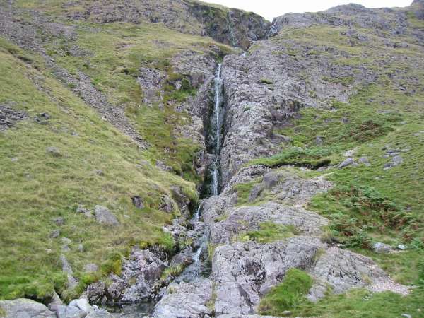
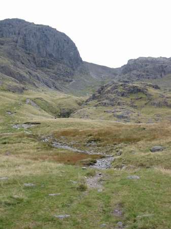
Cam Spout. The path climbs the slabs to the right of the waterfall
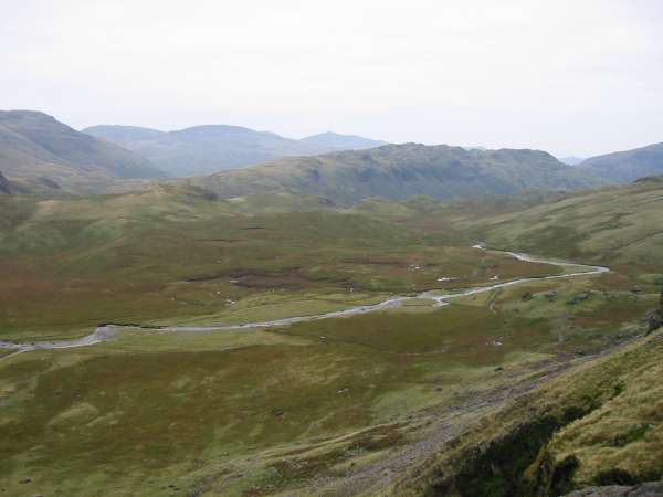
Looking down on Great Moss. The ridge across the centre of the photograph is Hard Knott
The path upto Mickledore
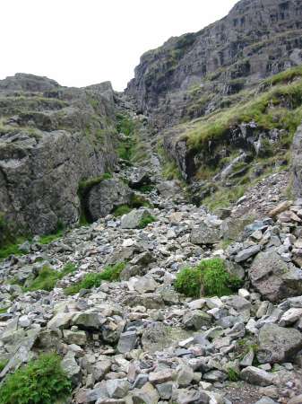
The gully leading to Foxes Tarn
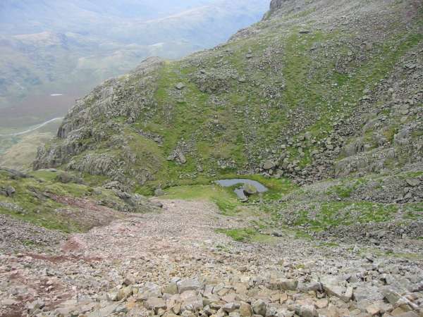
Looking back down the scree slope to Foxes Tarn
Panorama from above Broad Stand
Scafell Pike from Symonds Knott summit
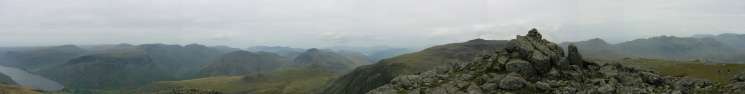
Panorama from Symonds Knott's summit

Burnmoor Tarn, Illgill Head and Wastwater
Symonds Knott, Scafell Pike and Ill Crag from Scafell summit
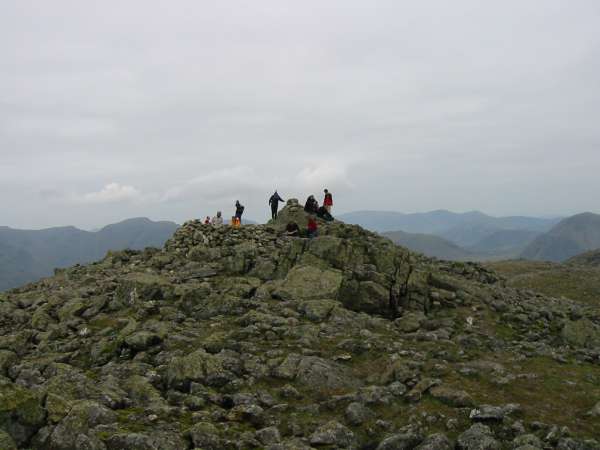
Scafell summit
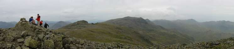
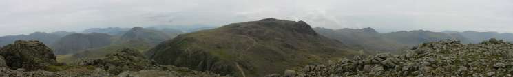
Panorama from Scafell's summit
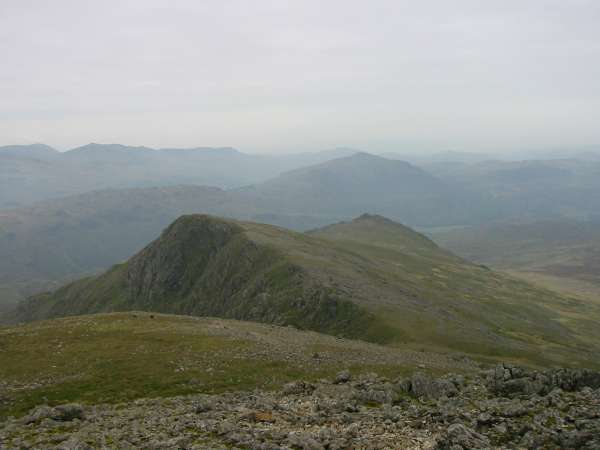
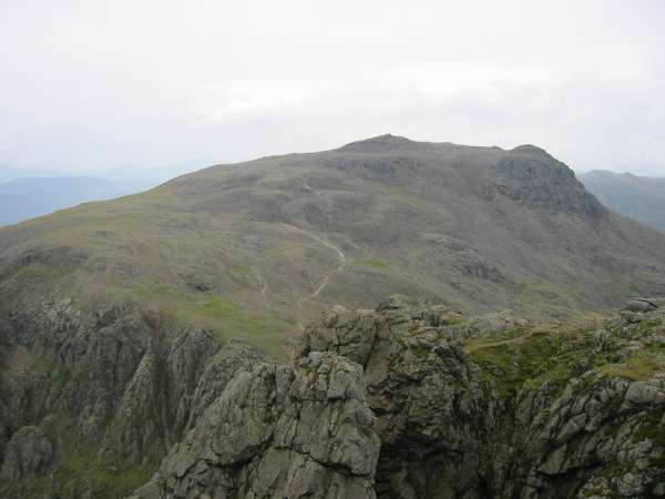
Looking down on Long Green and Slight Side

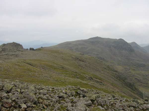
360 Panorama from Slight Side's summit
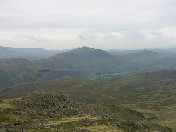
Harter Fell from Slight Side
The bottom of Hardknott Pass. The start/finish of the walk
Previous Walk: Whitbarrow (Sun 22 Sep 2002)
Next Walk: Harter Fell, Eskdale (Sun 29 Sep 2002)