Humphrey Head
Tue 4 Jun 2002
Route: Kents Bank - Humphrey Head Outdoor Centre - Humphrey Head - Humphrey Head Point - Humphrey Head Outdoor Centre - Kents Bank
Distance: 4.25 miles
Ascent: 175ft
Time: 1 hour 45 minutes
With: Anne
Notes:
Dry, sunshine, breezy on the Head.
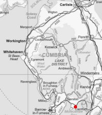
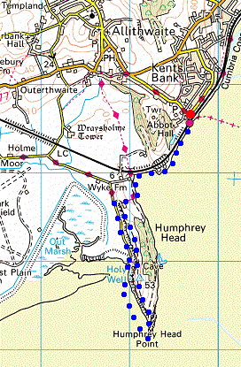
The plan was to follow A. Wainwright's 'Humphrey Head' walk in his book 'The Outlying Fells of Lakeland' [page 66]. We started from Kents Bank Railway Station and followed the railway embankment to Kirkhead End, and then the shoreline past Wyke Farm. The route became too wet at this point so we diverted to follow the footpath (Cumbria Costal Way) to the outdoor centre and then entered the Joy Ketchen Nature Reserve. Walking due south we soon reached the trig point (53m / 172ft) and then continued down to Humphrey Head Point and onto the sands. We then walked back on the sands down the west side of the Head to the road end / car park [SD 390740] and followed the road back to the outdoor centre were we rejoined our outward route to return to Kents Bank.
© Crown copyright. All rights reserved. Licence number AL100038401
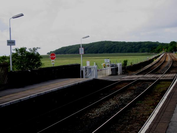
Humphrey Head Wood from Kents Bank Railway Station
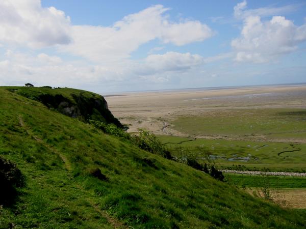
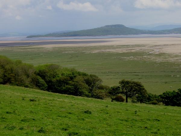
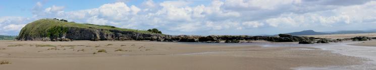
Humphrey Head and the Morecambe Bay sands
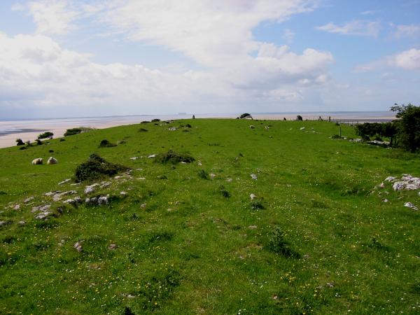
Looking south to the trig point with Heysham Power Station in the distance
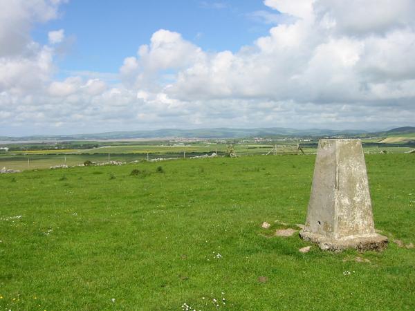
Ulverston from the trig point, Humphrey Head
Arnside Knott from Humphrey Head
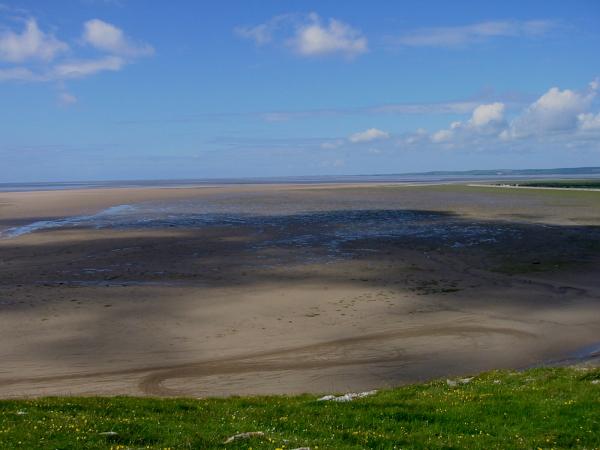
Looking out southwest across the sands from Humphrey Head
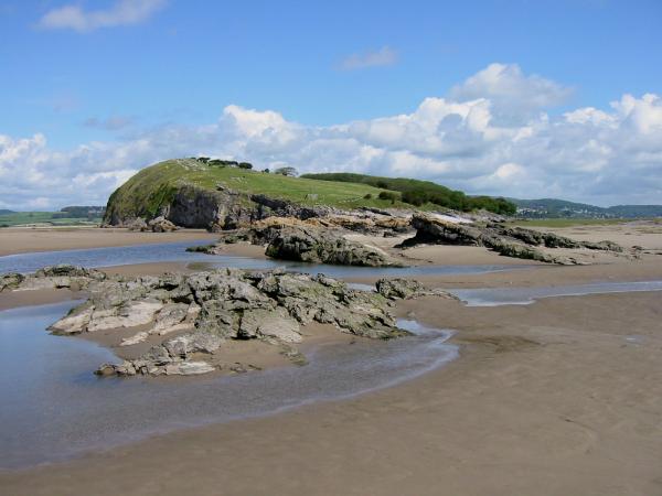
Humphrey Head Point from the sands
Humphrey Head Point from the sands
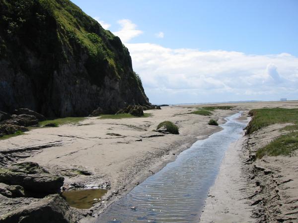
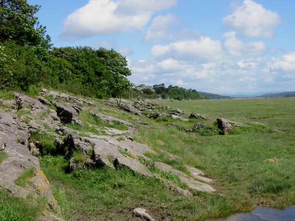
The cliffs of Humphrey Head

Shrimping trailers, Morecambe Bay
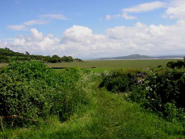
On the footpath back to the shore line with Kirkhead End ahead and Arnside Knott seen across the 'sands'
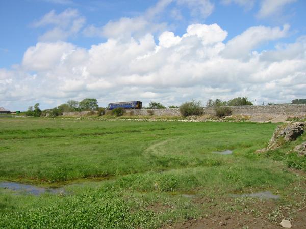
A train!
The path follows the high water mark back to Kents Bank
Previous Walk: Fleetwith Pike and Haystacks (Sun 2 Jun 2002)
Next Walk: Latterbarrow (Wed 12 Jun 2002)