Blencathra
Sat 1 Jun 2002
Route: Blencathra Centre, Threlkeld - Blease Fell - Knowe Crags - Gategill Fell Top - Blencathra - Atkinson Pike - Mungrisdale Common - Glenderterra - Blencathra Centre
Distance: 6.50 miles
Ascent: 2,000ft
Time: 3 hours
With: Anne
Notes:
Sunshine, warm, a light cool breeze on the top
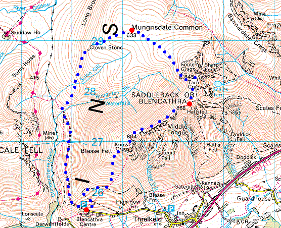
© Crown copyright. All rights reserved. Licence number AL100038401
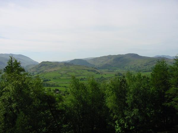
Helvellyn, High Rigg, Raven Crag and Bleaberry Fell from above the Blencathra Centre, Threlkeld

Southwesterly panorama from the climb up Blease Fell
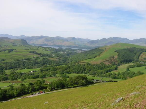
Walla Crag, the northwest fells, Derwent Water and Latrigg from the climb up Blease Fell
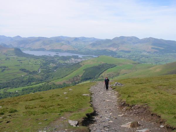
Walla Crag, the northwest fells, Derwent Water and Latrigg from the climb up Blease Fell
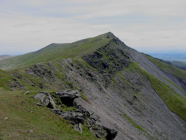
Gatesgill Fell Top from Knowe Crags
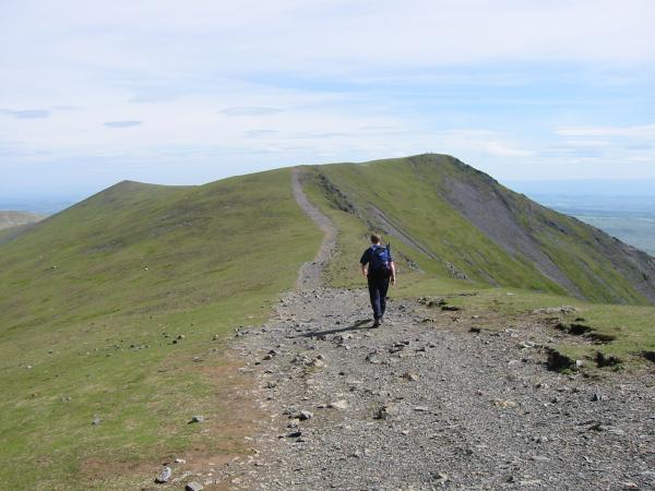
Heading to Hallsfell Top (Blencathra's summit) from Gatesgill Fell Top
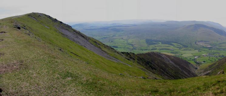
Hall's Fell Ridge, Blencathra

Gatesgill Fell Top from Hallsfell Top

360 Panorama from Hallsfell Top, Blencathra's summit
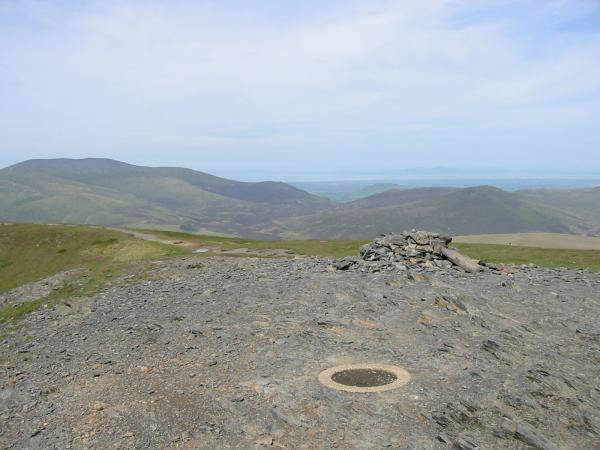
Skiddaw and Great Calva from Blencathra's summit
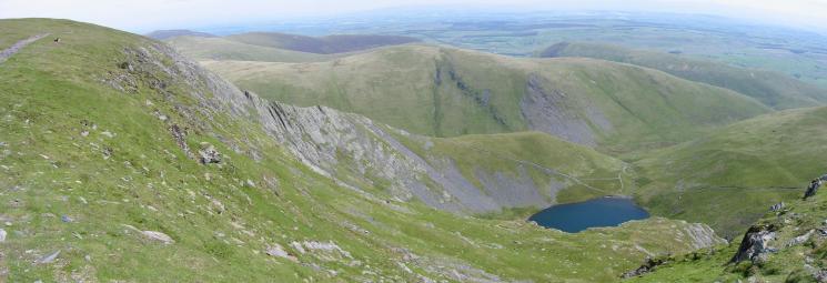
Sharp Edge and Scales Tarn
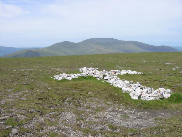
Skiddaw from the White Cross in the saddle between Hallsfell Top and Atkinson Pike
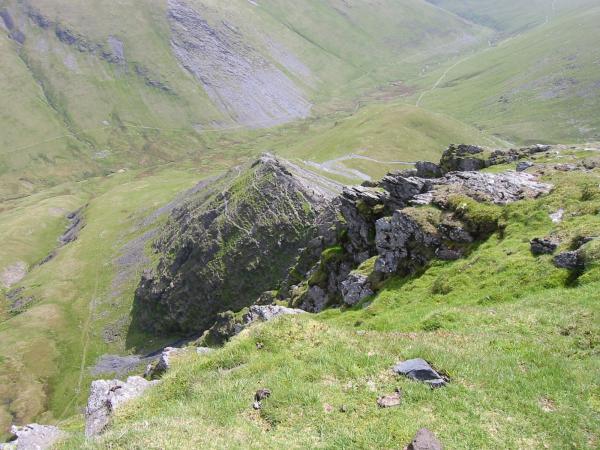
Looking down onto Sharp Edge
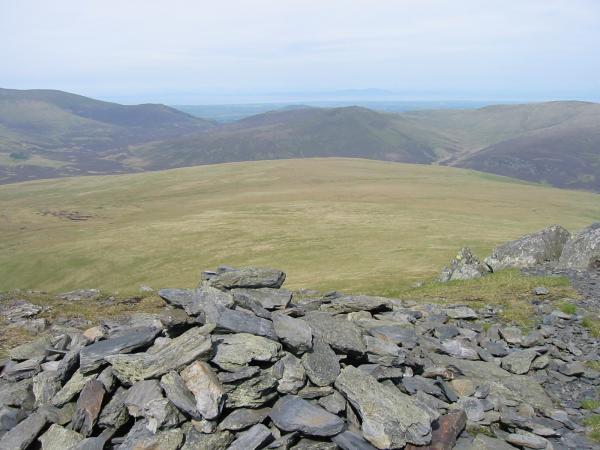
The flat top of Mungrisdale Common from Atkinson Pike
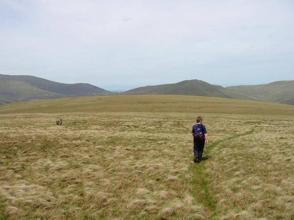
Heading across the flat top of Mungrisdale Common to its 'summit'
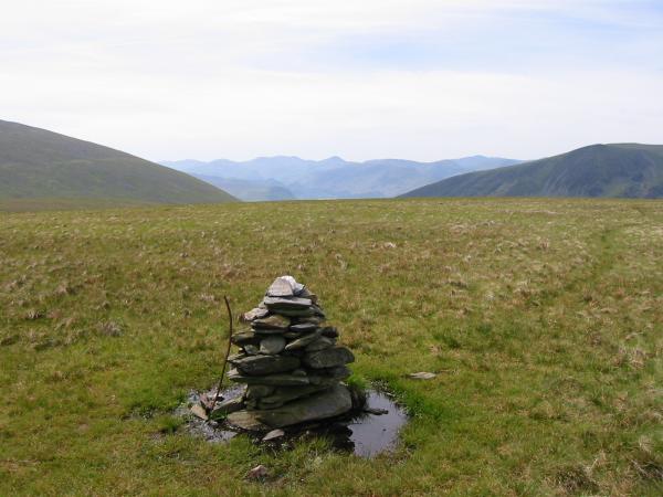
The northwest fells from Mungrisdale Common summit cairn

360 Panorama from Mungrisdale Common summit
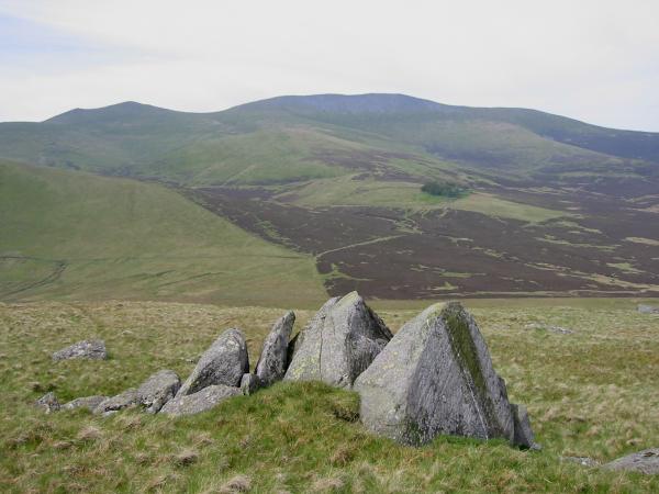
Skiddaw and Skiddaw House in the trees from the Cloven Stone
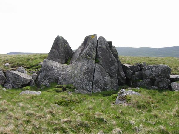
Cloven Stone, Mungrisdale Common
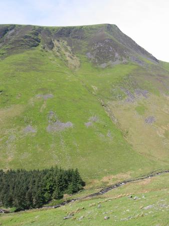
Looking across Glenderaterra Beck to Lonscale Fell
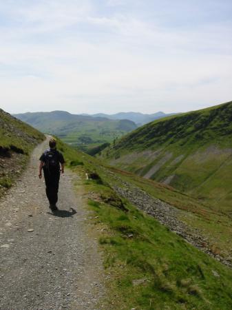
the track back round Blease Fell to the Blencathra Centre, Threlkeld
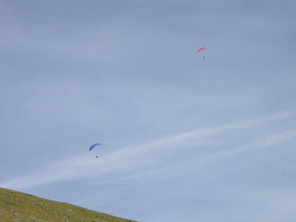
Paragliders above Blease Fell
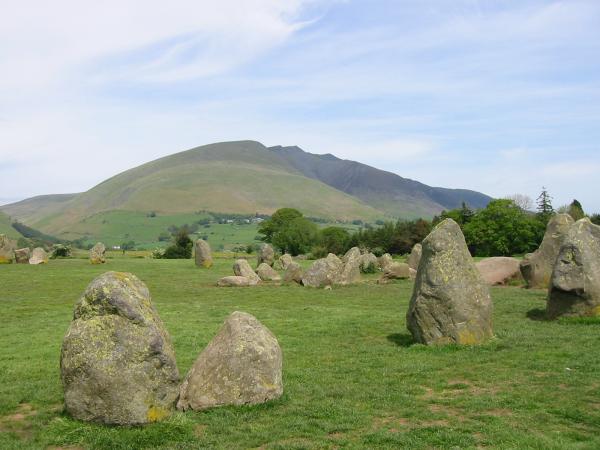
Blencathra from Castlerigg Stone Circle
Previous Walk: Walla Crag (Sun 26 May 2002)
