Top O'Selside
Sat 11 May 2002
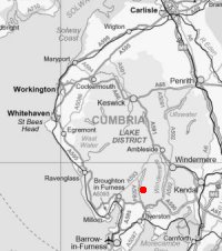
Route: High Nibthwaite - Brock Barrow - Low Light Haw - High Light Haw - Stang Hill - Arnsbarrow Hill - Arnsbarrow Tarn - Top O'Selside - High Nibthwaite
Distance: 4.25 miles
Ascent: 1,100ft
Time: 2 hours 30 minutes
With: Anne
Notes:
Shorts and tee shirt weather again, blue sky, sunshine and light winds.
A. Wainwright's 'Top O'Selside' walk in his book 'The Outlying Fells of Lakeland' [page 92], adding Stang Hill and Arnsbarrow Hill.
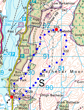
© Crown copyright. All rights reserved. Licence number AL100038401
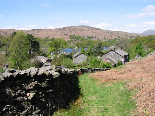
High Nibthwaite, Coniston Water and the Blawith Fells
Brock Barrow
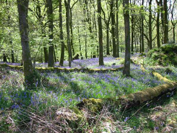
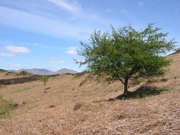
Bluebells in High Wood
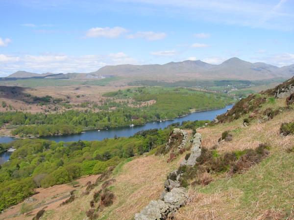
The southern end of Coniston Water and the Coniston Fells
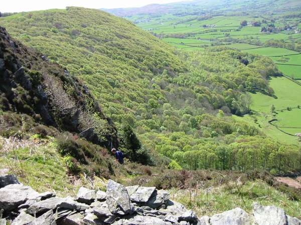
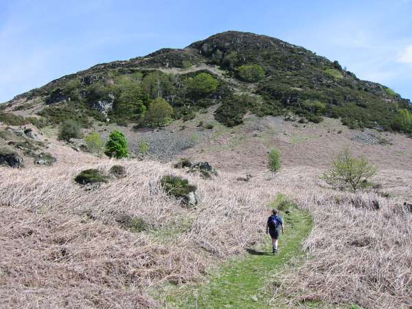
The end of the steep section up Brock Barrow with High Wood behind
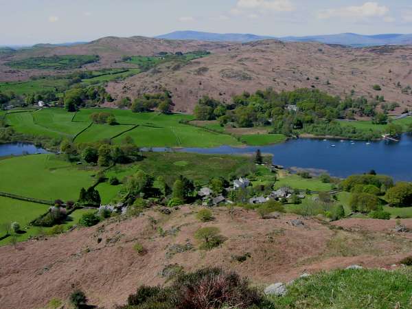
Looking down on Nibthwaite and the southern end of Coniston Water
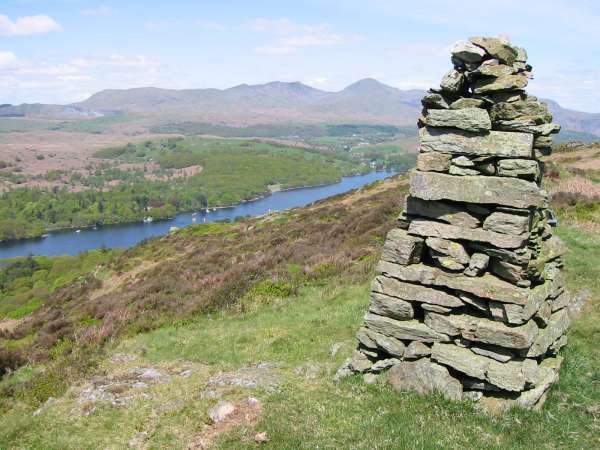
The Coniston Fells from Brock Barrow summit
Coniston Water and the Coniston Fells from Low Light Haw
Coniston Water, the Blawith Fells and Black Combe (top left) from High Light Haw
Dow Crag and Coniston Old Man from Stang Moss
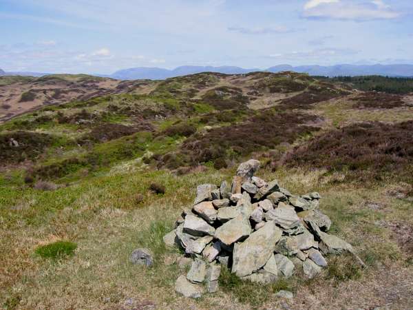
Northerly panorama from Stang Hill
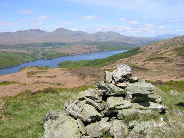
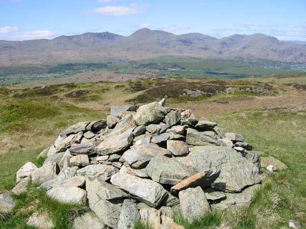
The Coniston Fells from Arnsbarrow Hill summit
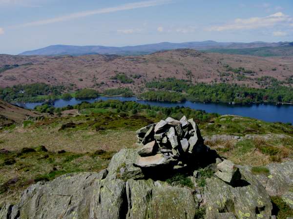
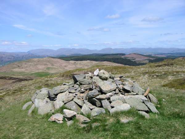
The Coniston Fells from Top O' Selside summit
Helvellyn, Fairfield and Red Screes from Top O' Selside summit

360 Panorama from Top O ' Selside summit
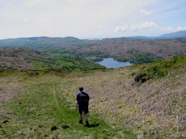
Descending towards Coniston Water from Top O' Selside
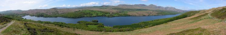
Coniston Water
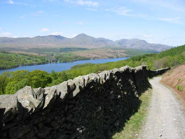
Looking back along the track and the Coniston Fells
Previous Walk: Newlands Round (Mon 6 May 2002)