Low Fell and Fellbarrow
Tue 8 Jan 2002
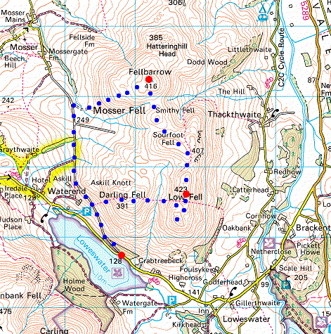
Route: Loweswater car park - old road to Mosser - Darling Fell - Low Fell (south top) - Low Fell - Fellbarrow - Mosser / Loweswater old road - Loweswater car park
Distance: 5.25 miles
Ascent: 1,600ft
Time: 2 hours 30 minutes
With: Anne
Notes:
Dead calm, overcast, misty
© Crown copyright. All rights reserved. Licence number AL100038401
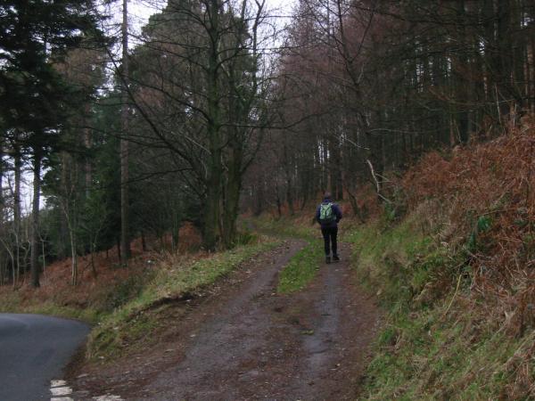
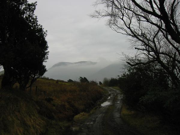
Starting up the old road to Mosser from Loweswater
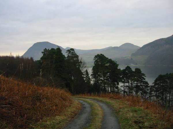
Mellbreak and Hen Comb from the old road to Mosser
The western fells and Loweswater from the ascent of Darling Fell
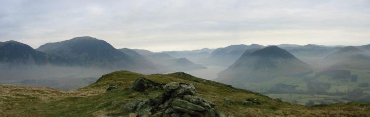
Panorama from Darling Fell summit
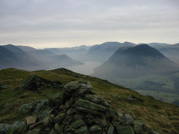
Low Fell with Whiteside and Grasmoor behind from Darling Fell
Crummock Water and the western fells from Low Fell's southern top

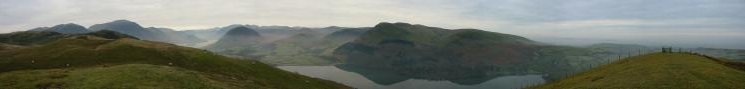
360 Panorama from Low Fell's southern summit
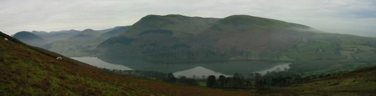
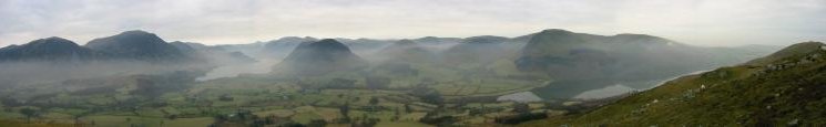
Panorama from Low Fell's southern top
Panorama from Low Fell
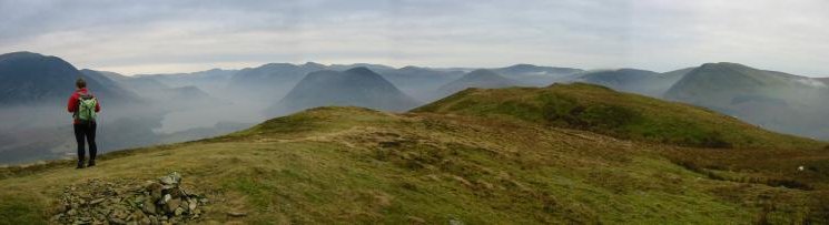
Panorama from Low Fell's northern top
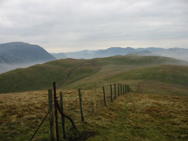
Heading north towards Watching Crag from Low Fell
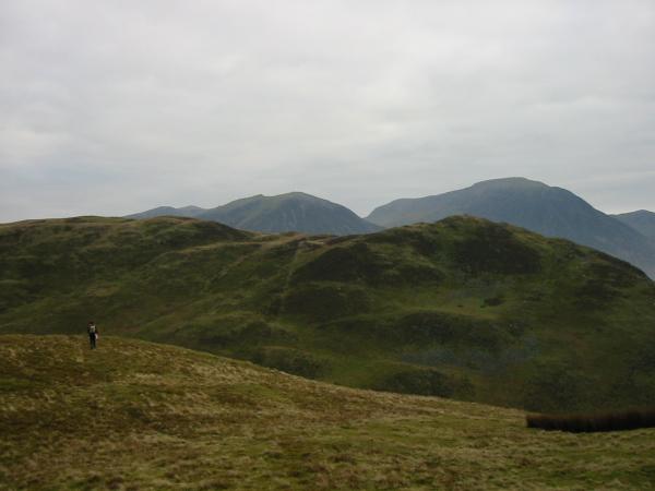
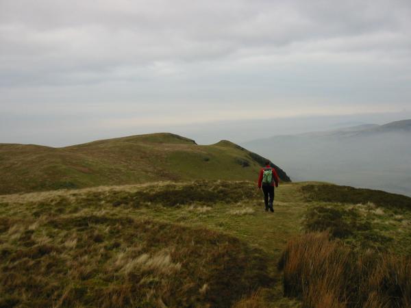
Looking back south from the climb up Fellbarrow
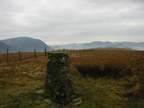
Fellbarrow summit
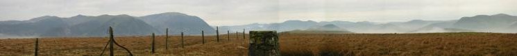
Southerly Panorama from Fellbarrow summit
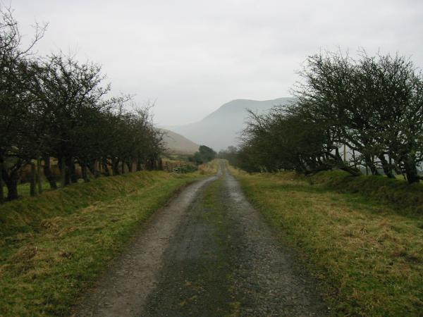
Loweswater to Mosser old road
Descending back to Loweswater using the old road from Mosser
Previous Walk: Little Mell Fell from The Hause (Mon 7 Jan 2002)
Next Walk: Clough Head and Great Dodd (Thu 10 Jan 2002)