Blencathra from Scales
Tue 7 Dec 2010
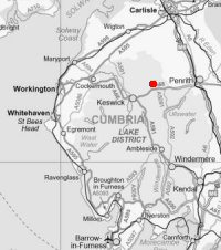
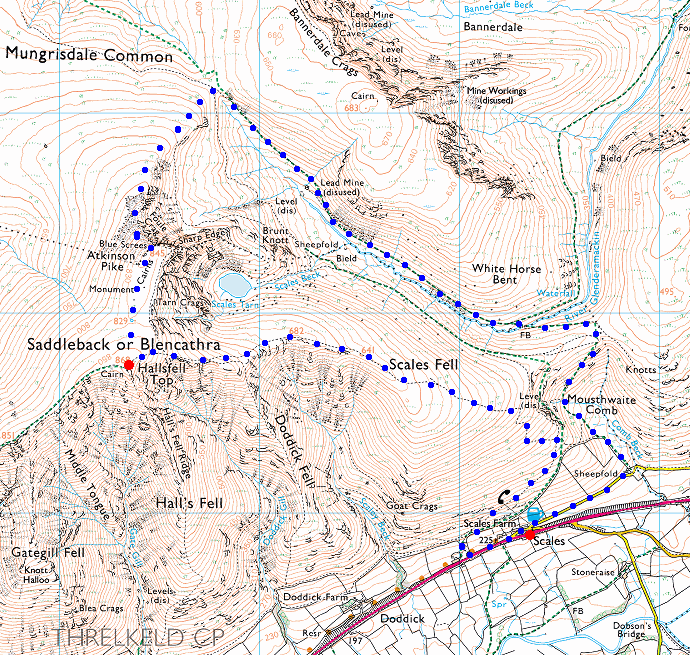
Route: Scales - Scales Fell - Blencathra - Atkinson Pike - Blue Screes - the valley of the River Glenderamackin - Mousthwaite Comb - Scales
Distance: 6.25 miles
Ascent: 2,250ft
Time: 3 hours 40 minutes
With: On own
Notes:
Overnight snow, blue skies, scattered clouds and sunshine, light winds. Overcast over the fells to the south.
© Crown copyright. All rights reserved. Licence number AL100038401
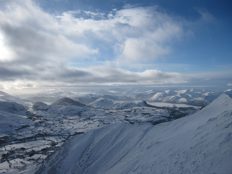
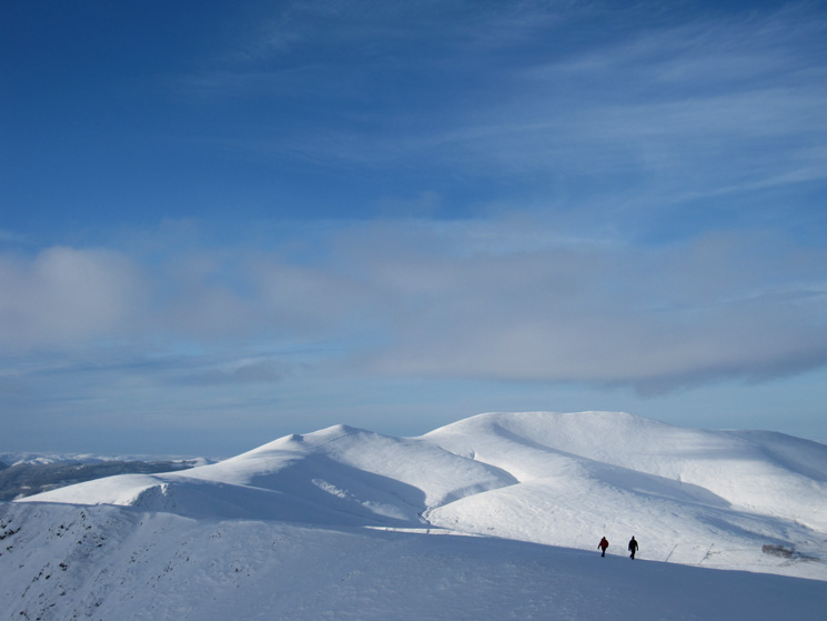
The view southwest into the Lakes from above Scales
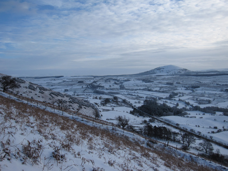
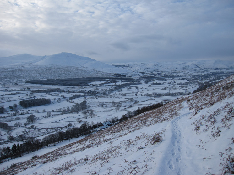
Great Mell Fell
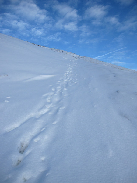
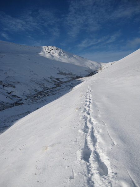
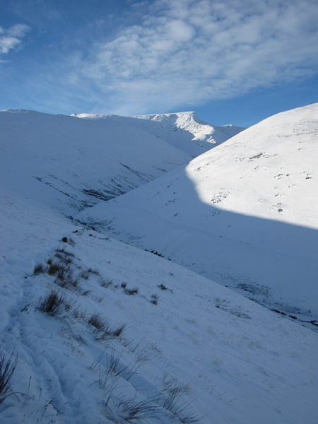
The same stretch of path as the third photo from last Wednesday. Mine will be the first footprints of the day
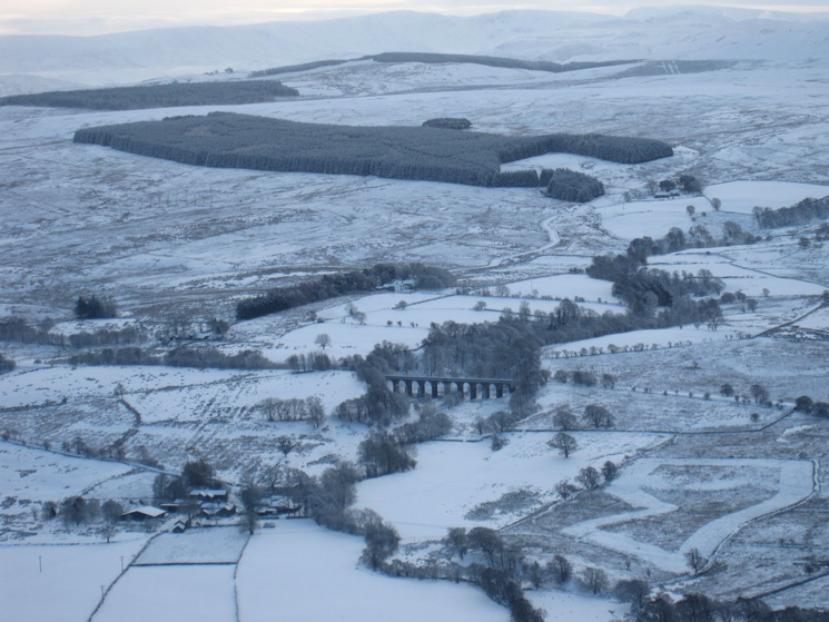
Zooming in on Mosedale Viaduct
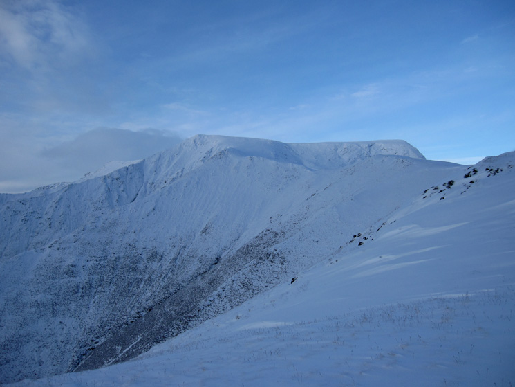
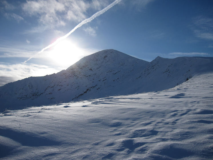
Looking up Scales Fell to Blencathra's summit
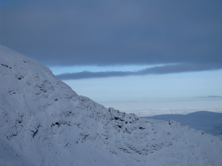
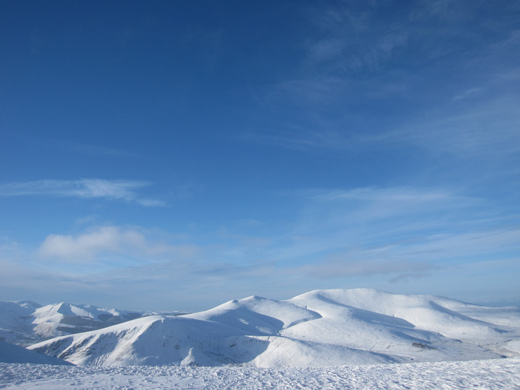
Lots of cloud to the south. Clough Head and the Dodds on the left
Sharp Edge
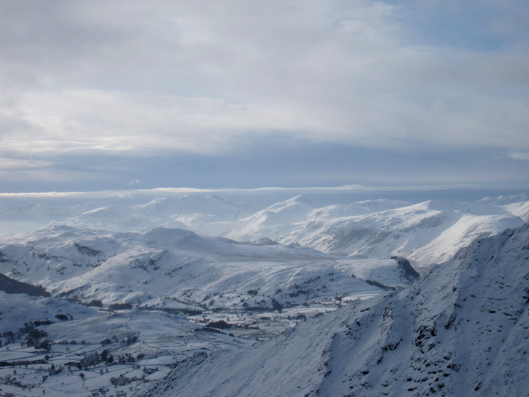
The view south west to the Scafells and Great Gable
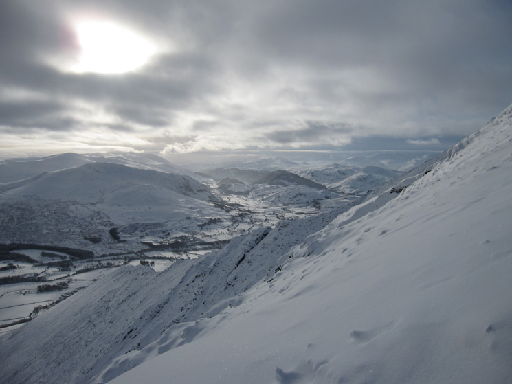
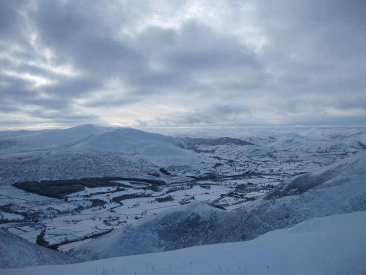
Wintery to the south
Looking back down Scales Fell
South west from Blencathra's summit
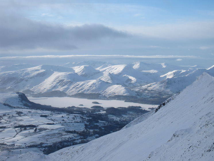
Derwent Water looks frozen
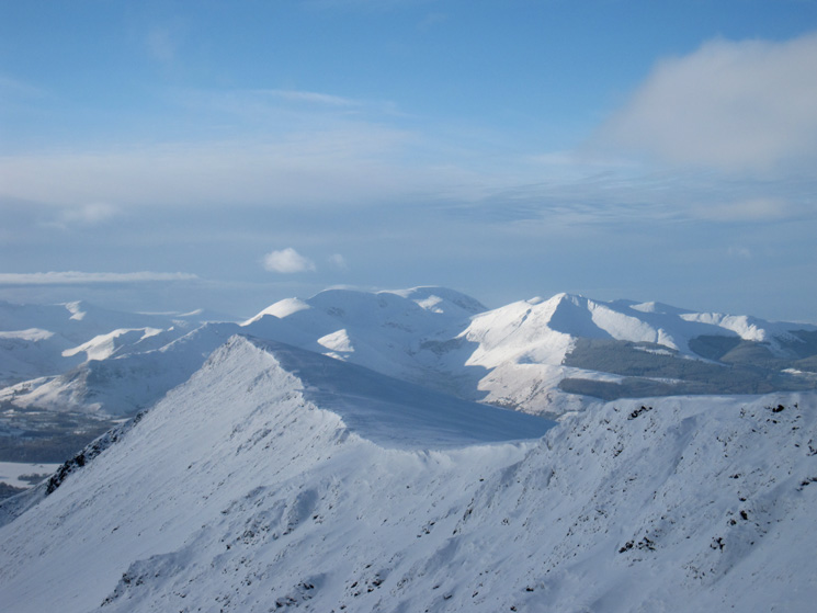
Gategill Fell Top and the north western fells
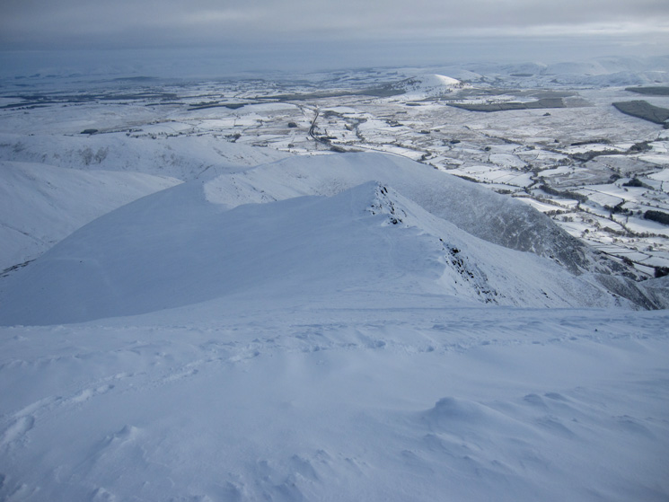
Looking down Hall's Fell Ridge with the Helvellyn ridge in the distance
Skiddaw
Grisedale Pike and the Skiddaw fells from Atkinson Pike
Sharp Edge and Foule Crag
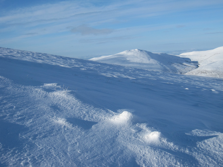
Great Calva
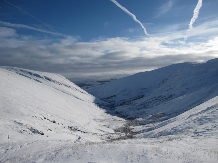
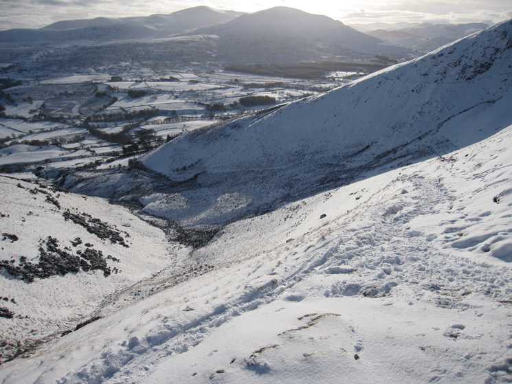
The valley of the River Glenderamackin, my descent route can be seen on the left side
Looking back up
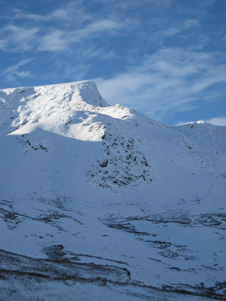
Sharp Edge and Foule Crag
Fence and young trees!
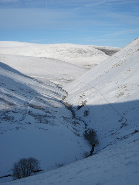
Looking back up the valley
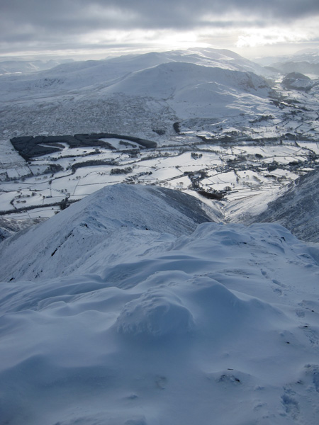
Mousthwaite Comb
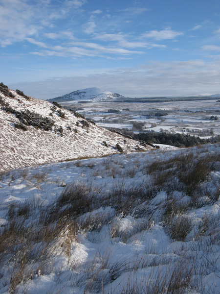
Great Mell Fell
Previous Walk: Red Screes from Ambleside (Sun 5 Dec 2010)
Next Walk: Red Tarn and Birkhouse Moor (Thu 9 Dec 2010)