High Raise from Grasmere
Tue 30 Dec 2008
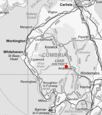
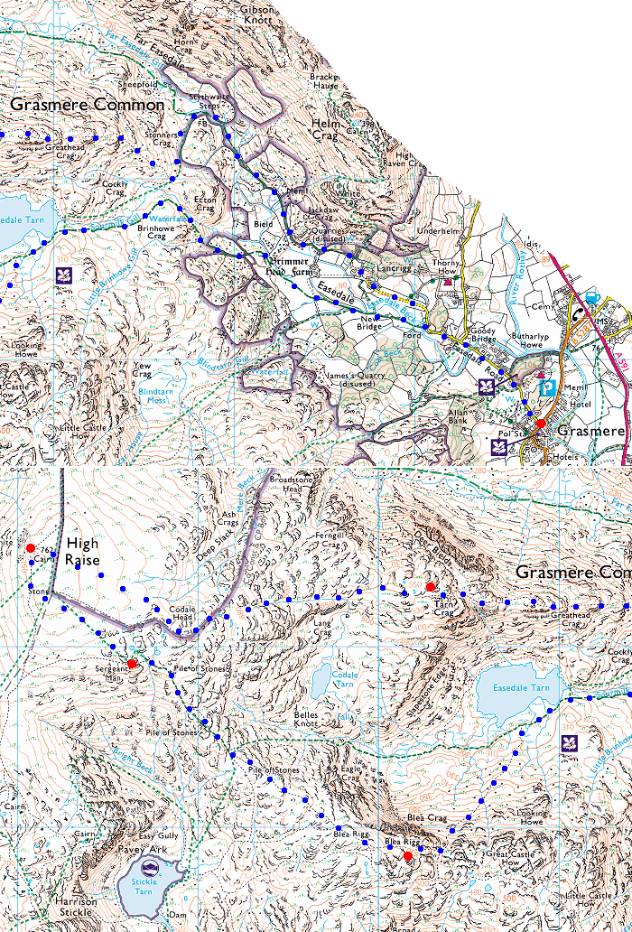
Route: Grasmere Village - Easedale - Sourmilk Gill - Easedale Tarn - Blea Rigg - Sergeant Man - High Raise - Codale Head - Tarn Crag - east ridge - Stythwaite Steps - Far Easedale - Grasmere Village
Distance: 9.50 miles
Ascent: 2,600ft
Time: 5 hours 20 minutes
With: David Hall
Notes:
Cold, frozen ground with lots of ice. In cloud on the top
© Crown copyright. All rights reserved. Licence number AL100038401
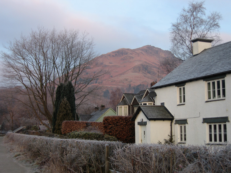
Helm Crag from the Easedale Road
Looking towards Tarn Crag, to be our last summit of the day
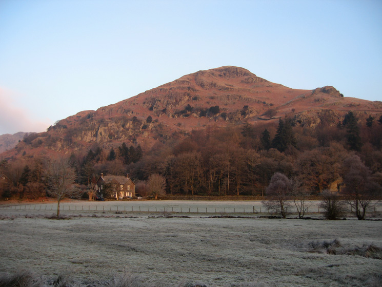
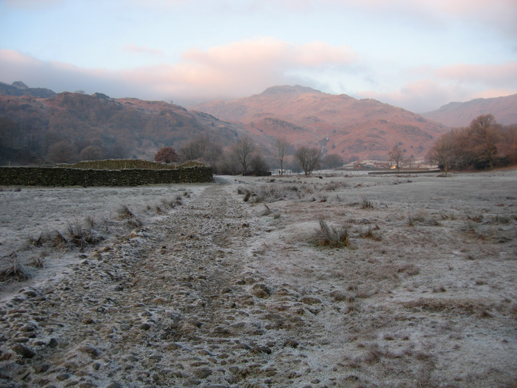
Helm Crag from Easedale
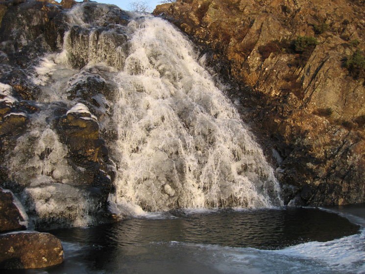
A partly frozen waterfall in Sourmilk Gill
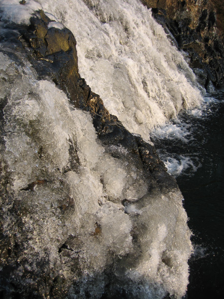
A partly frozen waterfall in Sourmilk Gill
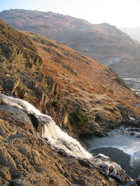
A partly frozen waterfall in Sourmilk Gill
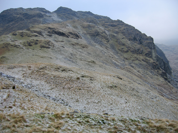
Tarn Crag's east ridge from the Easedale Tarn path
Looking back towards Helm Crag
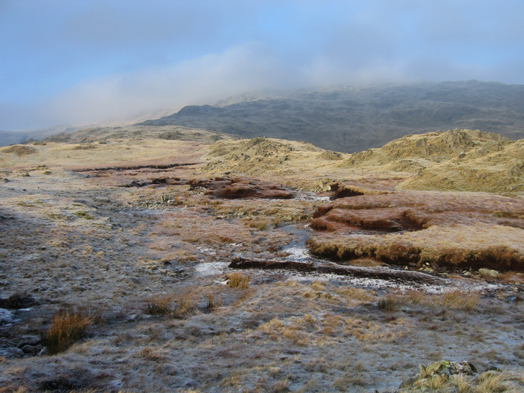
Site of the old refreshment hut at Easedale Tarn
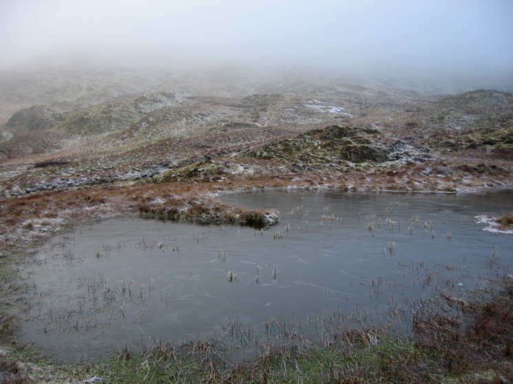
Looking across a frozen Easedale Tarn to Tarn Crag
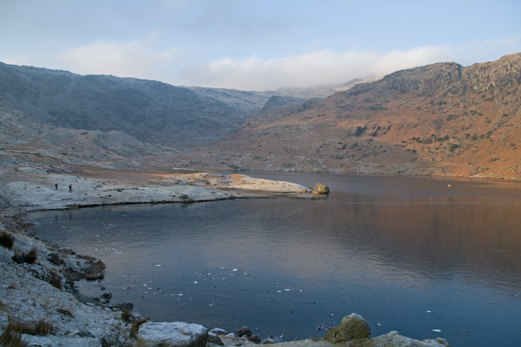
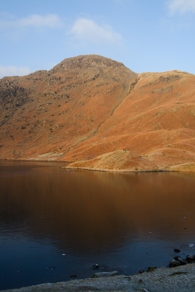
Easedale Tarn, the pointed peak is Belles Knott
Heading for Blea Rigg with Blea Crag ahead
Crinkle Crags, Harrison Stickle and Pavey Ark from Blea Rigg's summit
The ridge to Sergeant Man (lost in cloud) from Blea Rigg
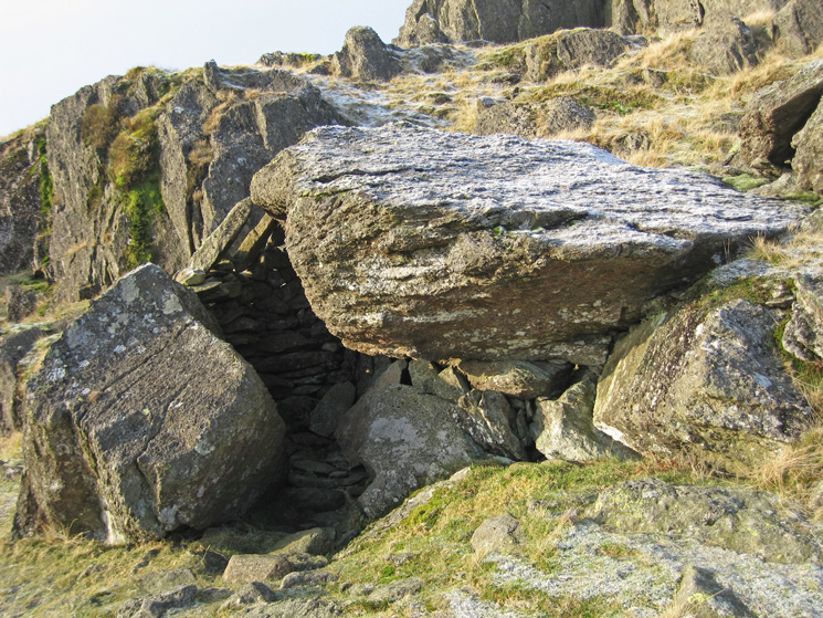
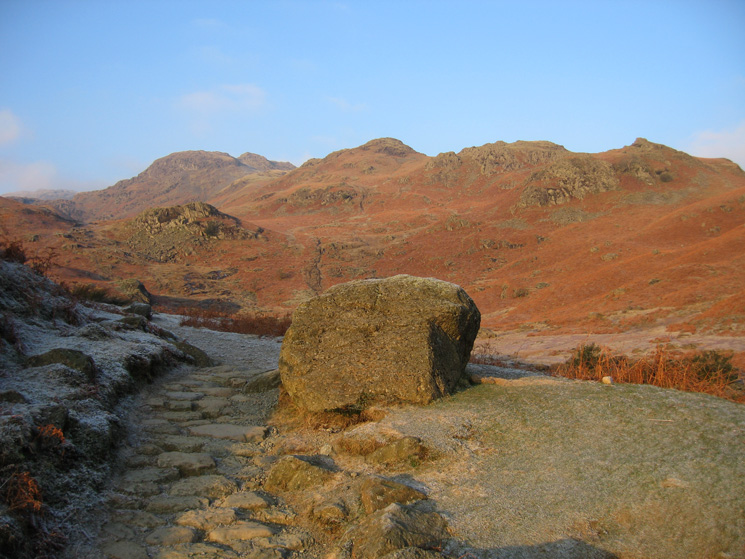
The Shelter Stone on the top of Blea Rigg
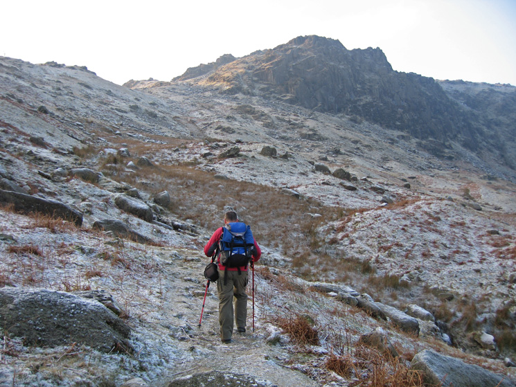
The route to Sergeant Man
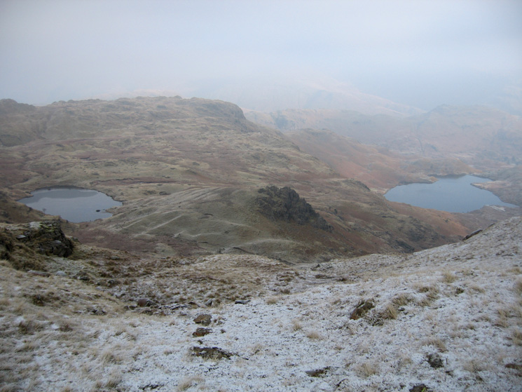
Looking down on Codale Tarn, Belles Knott and Easedale Tarn
Sergeant Man's summit
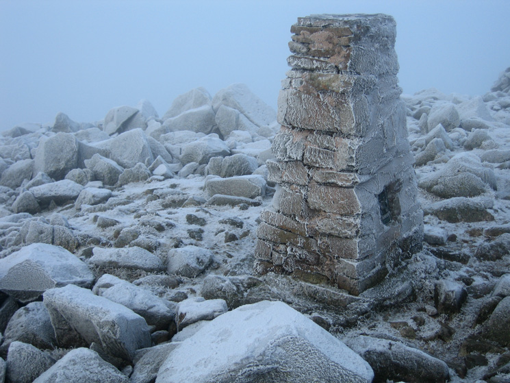
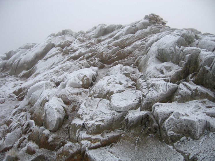
High Raise's summit trig point
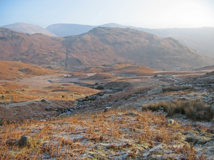
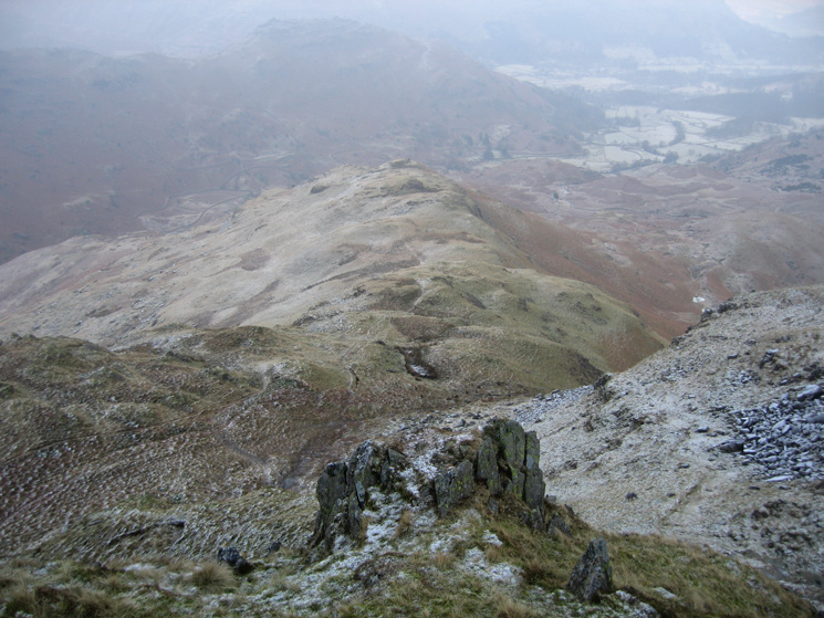
Looking back to Codale Head from our route to Tarn Crag!
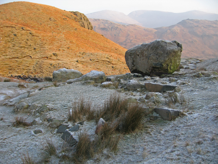
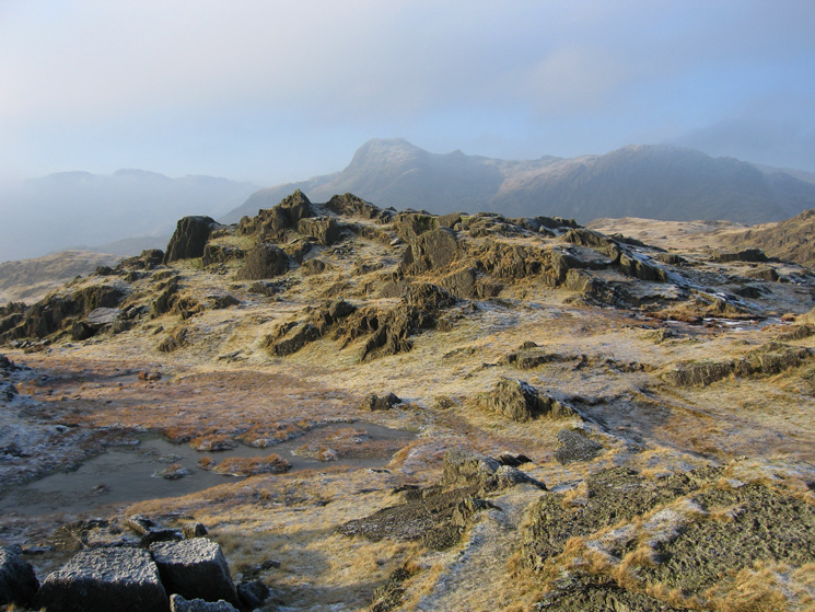
Tarn Crag's east ridge from its summit
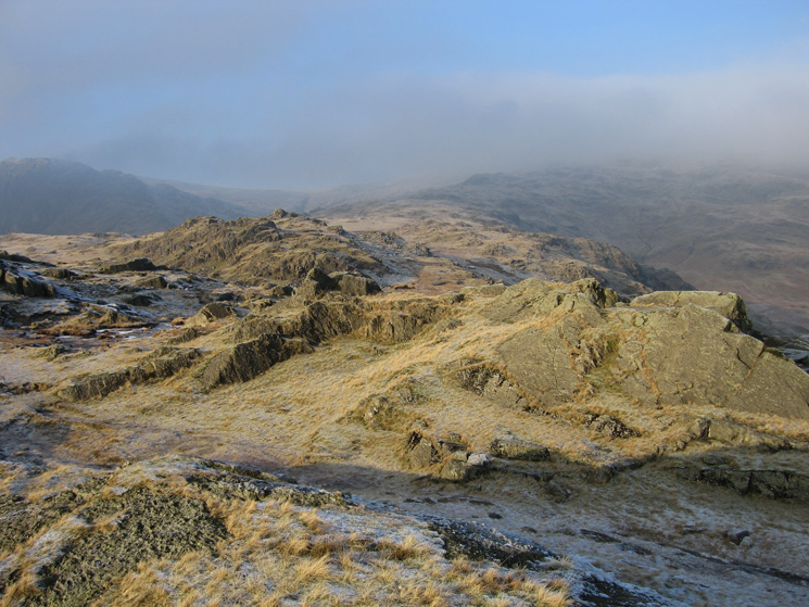
Looking back up the top part of Tarn Crag's east ridge to its summit with Deer Bield Crag on the right
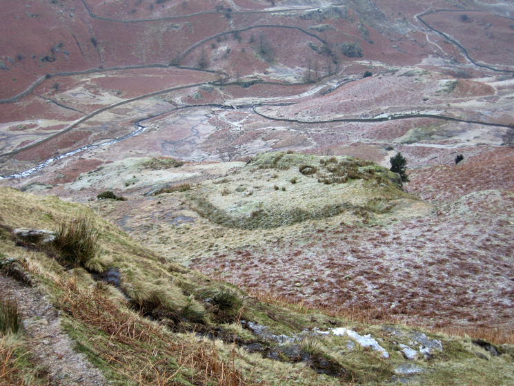
Looking down into Far Easedale, the footbridge at Stythwaite Steps can just be made out
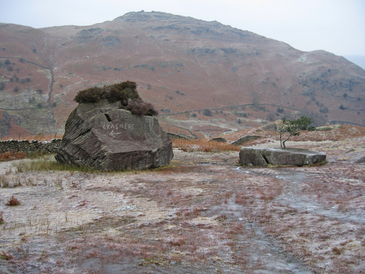
A helpful sign and a tree growing out of a rock!
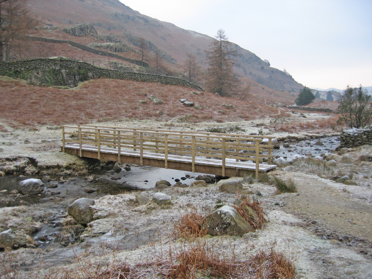
The footbridge at Stythwaite Steps
Previous Walk: Fellbarrow and Low Fell (Mon 29 Dec 2008)
Next Walk: 40th Helvellyn (Wed 31 Dec 2008)