Thirlmere and Great How
© Crown copyright. All rights reserved. Licence number AL100038401
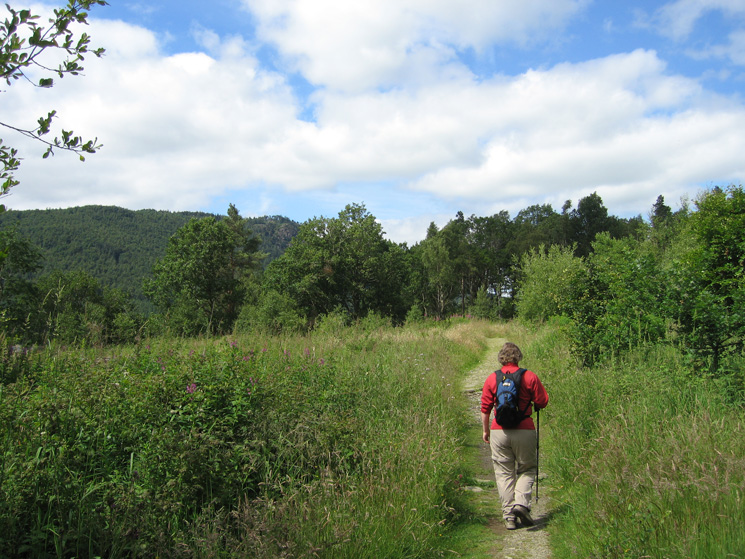
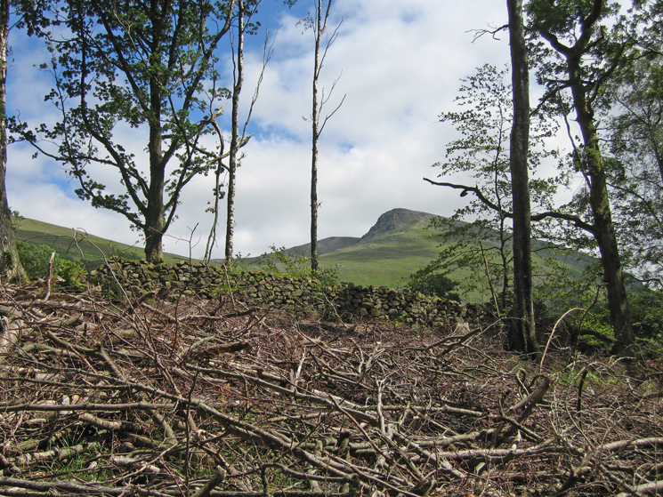
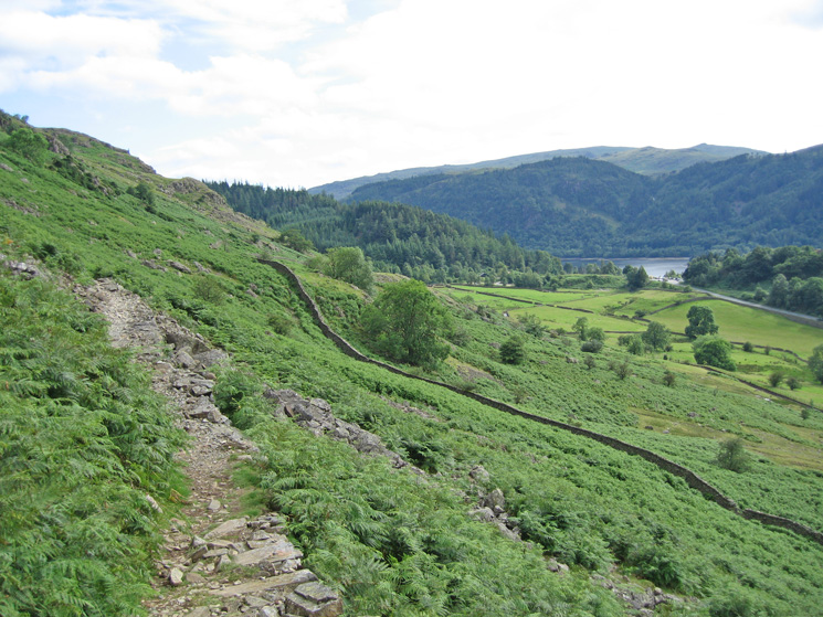
On the permissive path between Swirls and Great How
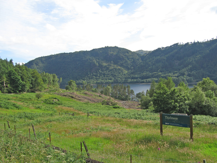
Thirlmere
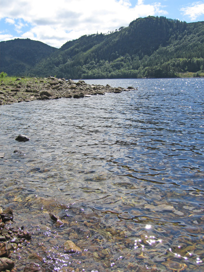
Thirlmere
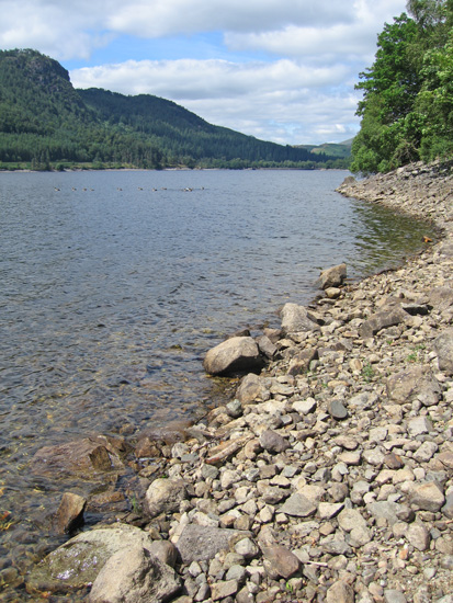
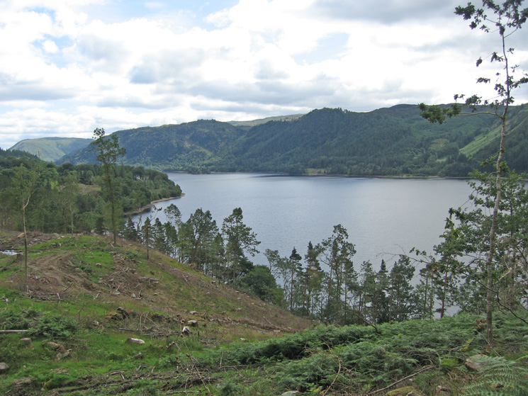
Looking down Thirlmere with Raven Crag on the far side
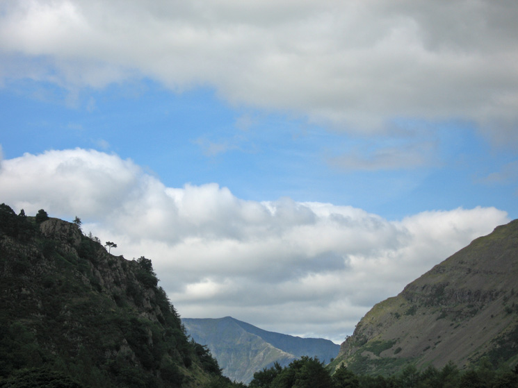
A glimpse of Browncove Crags
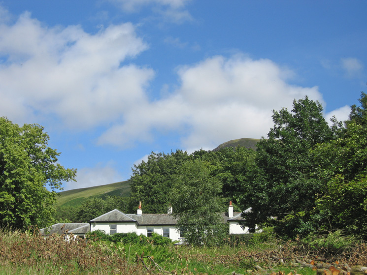
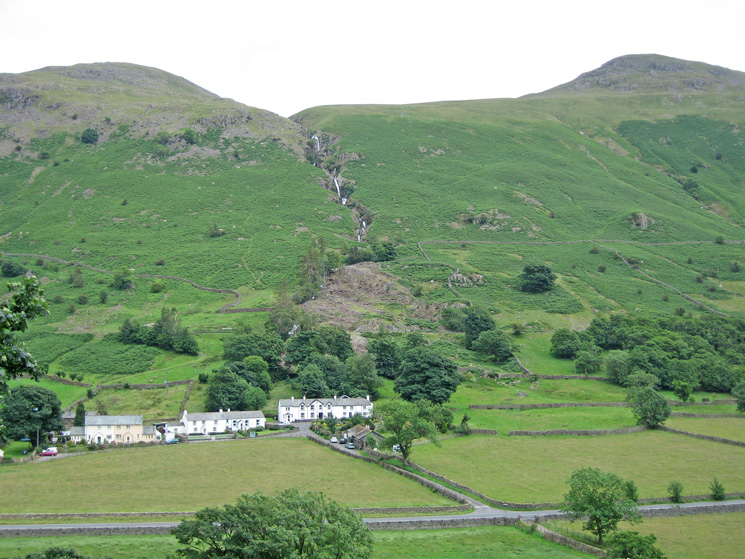
Dale Head Hall Hotel
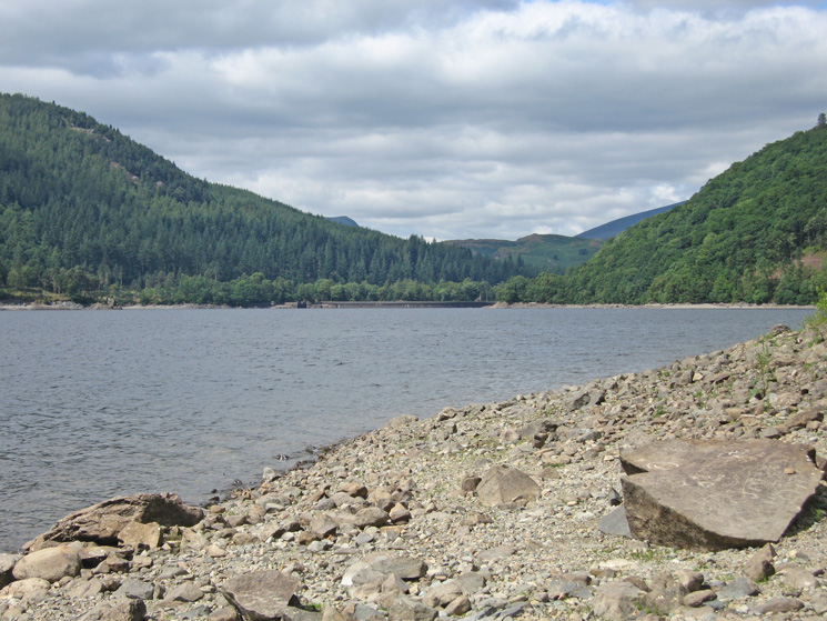
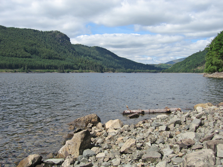
Looking down Thirlmere to the dam

Great How at the foot of Thirlmere
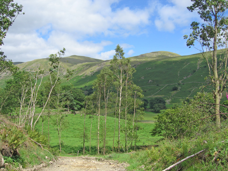
Watson's Dodd and Stybarrow Dodd
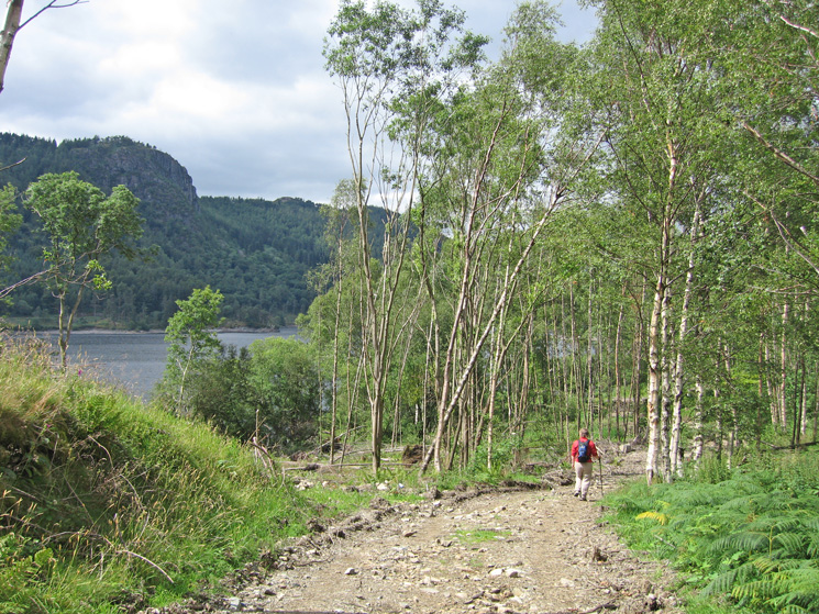
Heading through the woodland with Raven Crag on the far side of Thirlmere
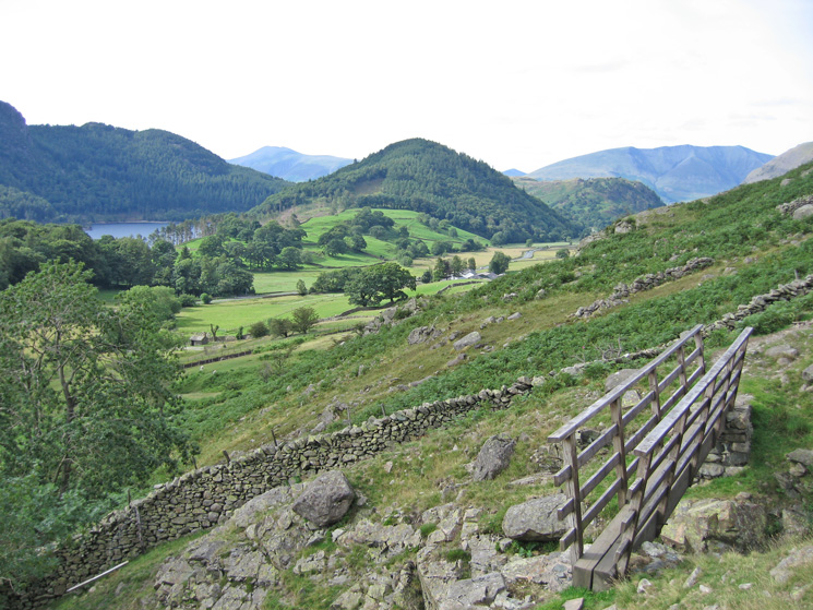
Looking towards Great How
Thirlmere as we start our ascent of Great How
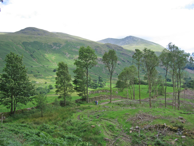
Brown Crag on the left, Helvellyn Lower Man and Browncove Crags right of centre
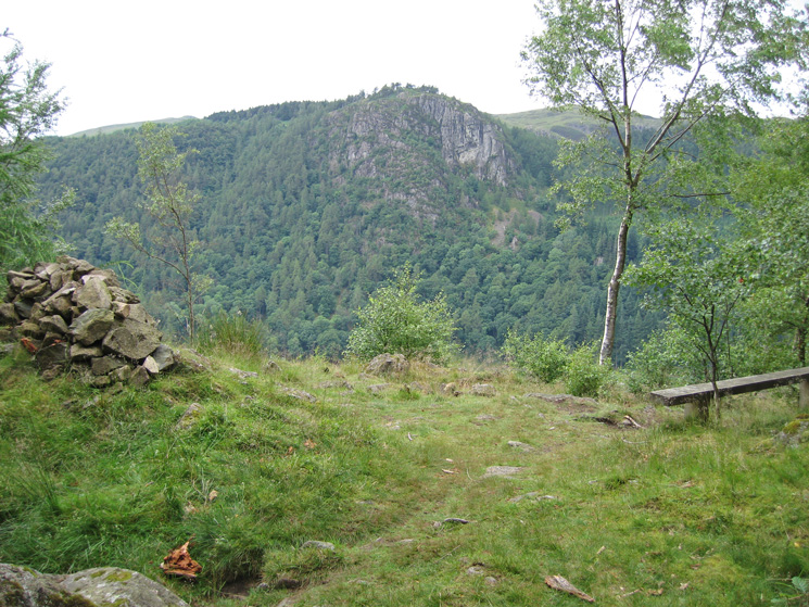
Raven Crag from Great How's summit
Fisherplace Gill above Fisher Place
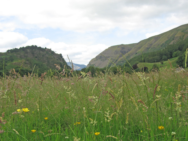
A hayfever level view towards St John's in the Vale
Hall's Fell Ridge, Blencathra
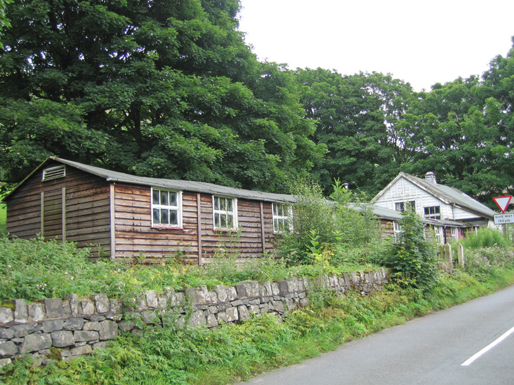
The old youth hostel at Stanah, soon to be redeveloped?
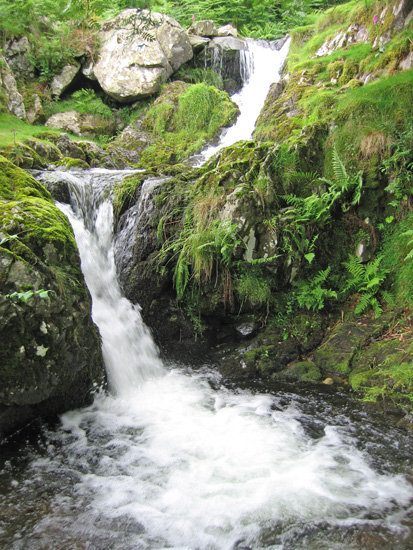
A small waterfall in Sty Beck above Stanah
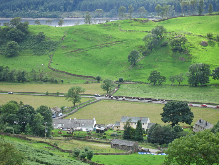
Cows on the A591!
High Rigg with the Skiddaw fells and Blencathra behind
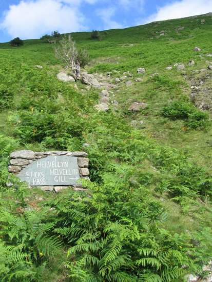
Path junction above Thirlspot
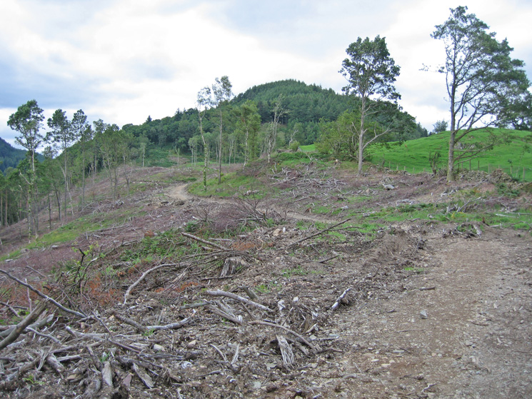
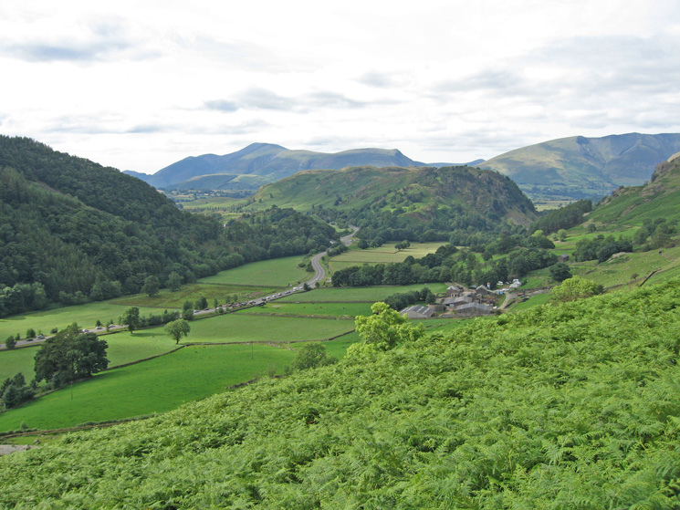
Great How from the path junction above Thirlspot
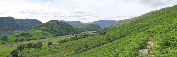
Northerly panorama with Great How in the middle
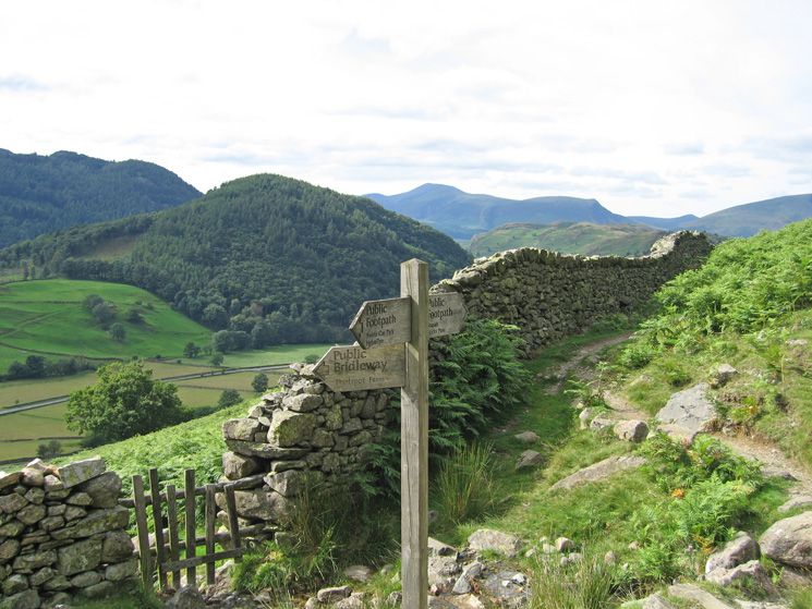
The path to Swirls
Looking back to Great How
Thirlmere from Station Coppice, the small free car park at Swirls, on the other side of the road to the large pay-and-display one
Previous Walk: Causey Pike to Outerside (Sat 12 Jul 2008)
Next Walk: Great Mell Fell (Mon 21 Jul 2008)