Nan Bield Pass and Kentmere Pike
Sun 25 Nov 2007
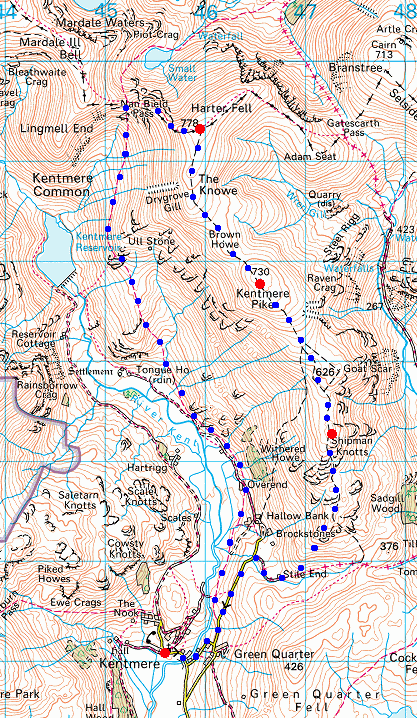
Route: Kentmere Village - Low Lane - Overend - The Tongue - Nan Bield Pass - Harter Fell - Kentmere Pike - Shipman Knotts - High Lane - Kentmere Village
Distance: 9.50 miles
Ascent: 2,500ft
Time: 5 hours 20 minutes
With: David & Jennifer Hall and Anne
Notes:
Overcast and dull but with a few sunny intervals
© Crown copyright. All rights reserved. Licence number AL100038401
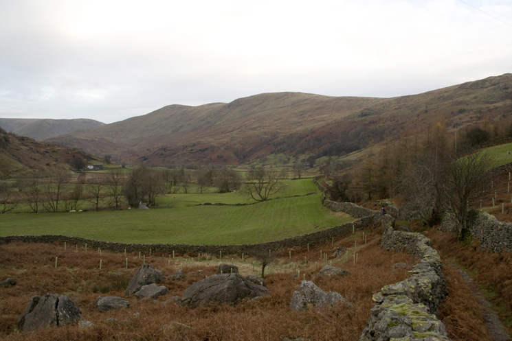
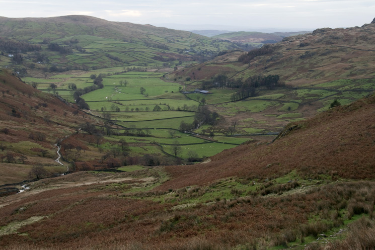
Looking up the Kentmere valley towards Mardale Ill Bell, Harter Fell and Kentmere Pike from Low Lane
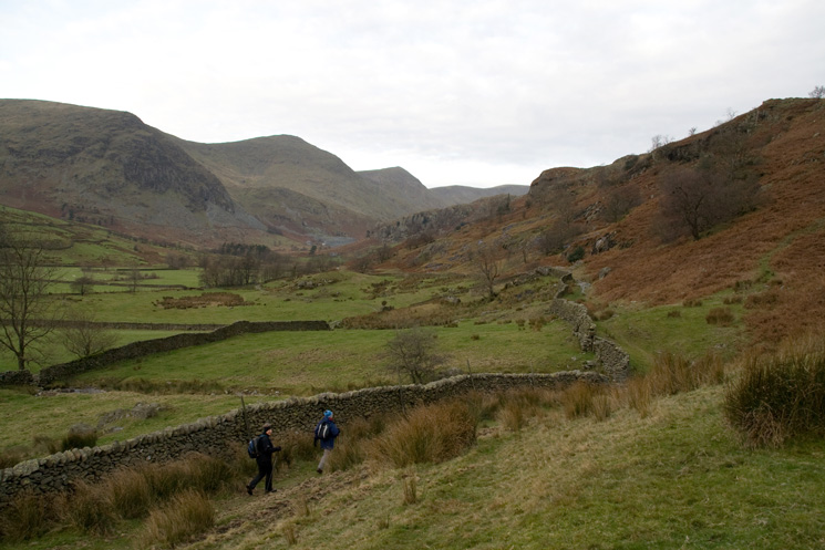
Heading through upper Kentmere having passed Overend
Looking back down Kentmere from The Tongue
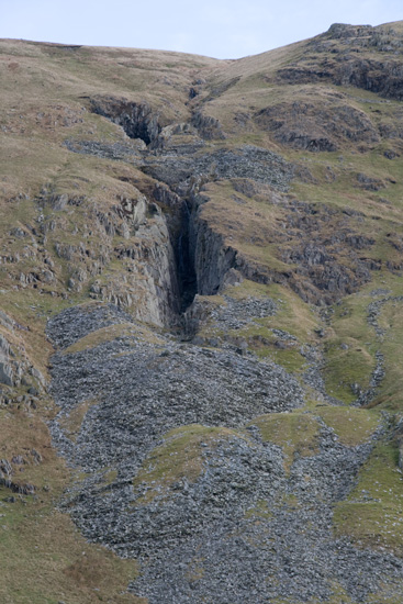
Disused quarry below Brown Howe
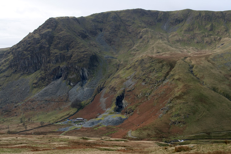
Rainsborrow Crag and Yoke
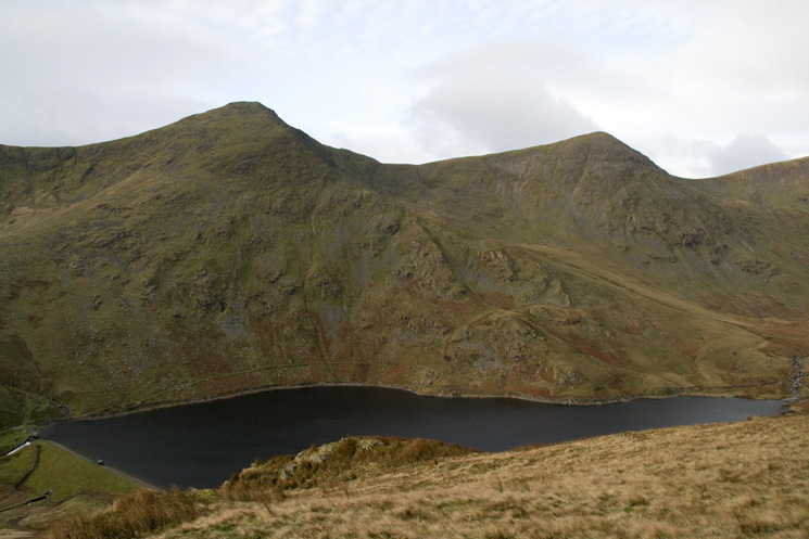
Looking over Kentmere Reservoir to Ill Bell and Froswick

Froswick, High Street and Lingmell End at the head of Kentmere
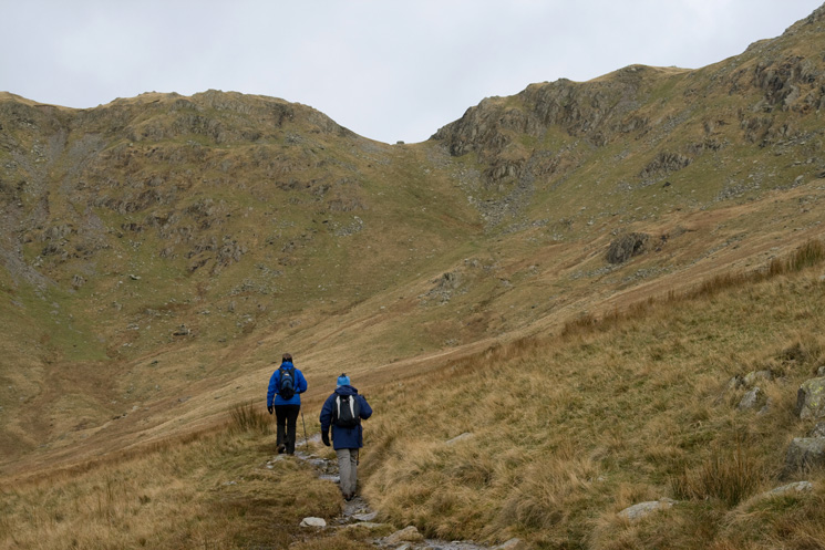
Heading for Nan Bield Pass
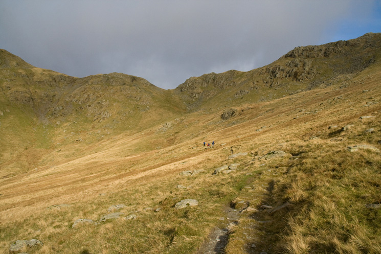
The path to Nan Bield Pass in a short sunny interval
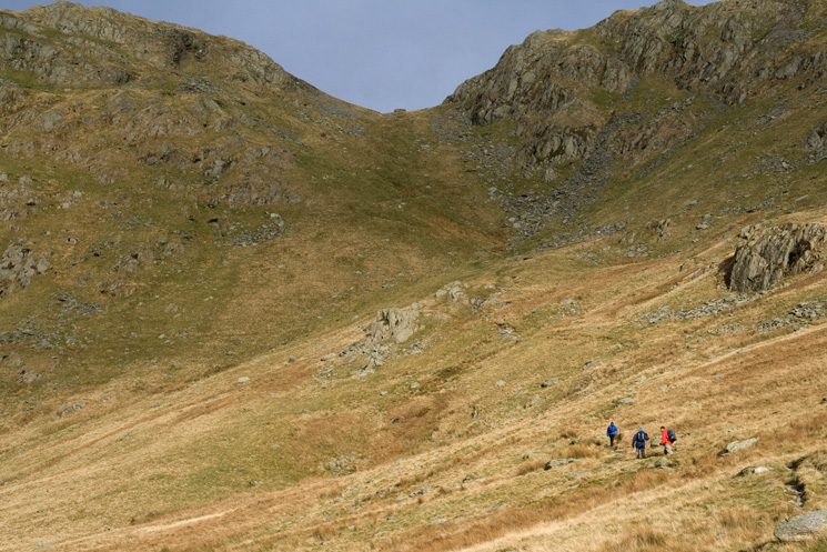
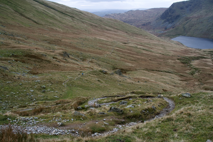
Approaching Nan Bield Pass
Yoke, Ill Bell and Froswick from below Nan Bield Pass
Looking back down our ascent path as we near the summit of Nan Bield Pass
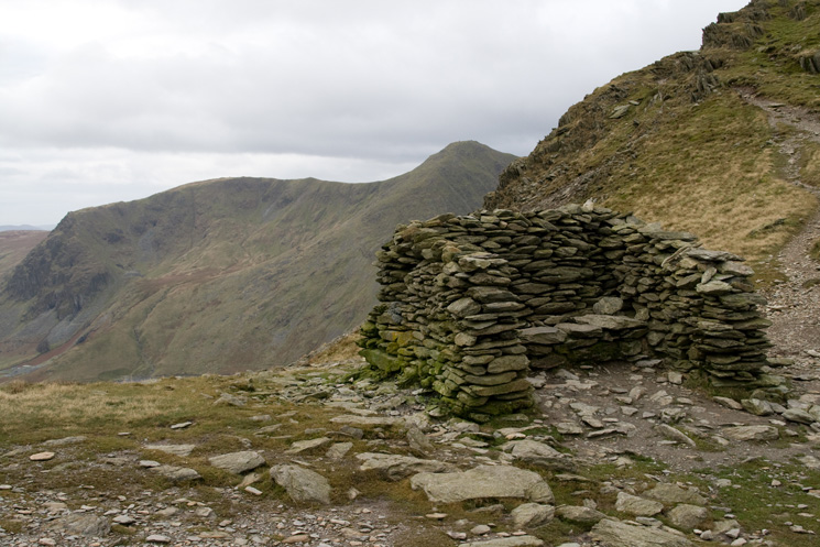
The shelter at Nan Bield Pass with Yoke and Ill Bell behind
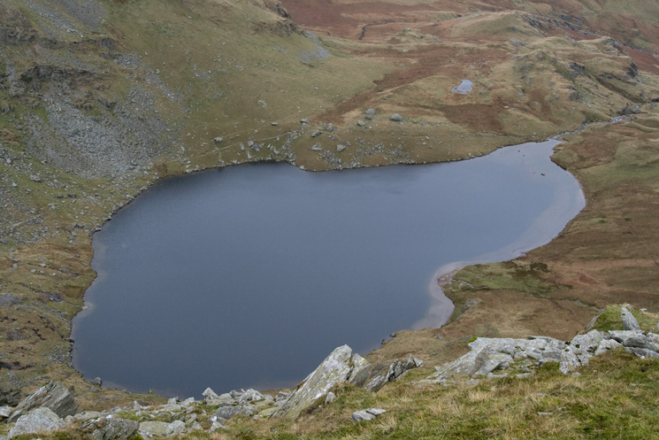
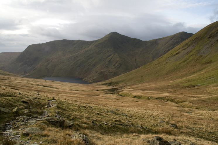
Looking down on Small Water
Mardale Ill Bell with Thornthwaite Crag and High Street behind from the ridge up to Harter Fell's summit
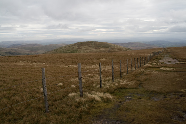
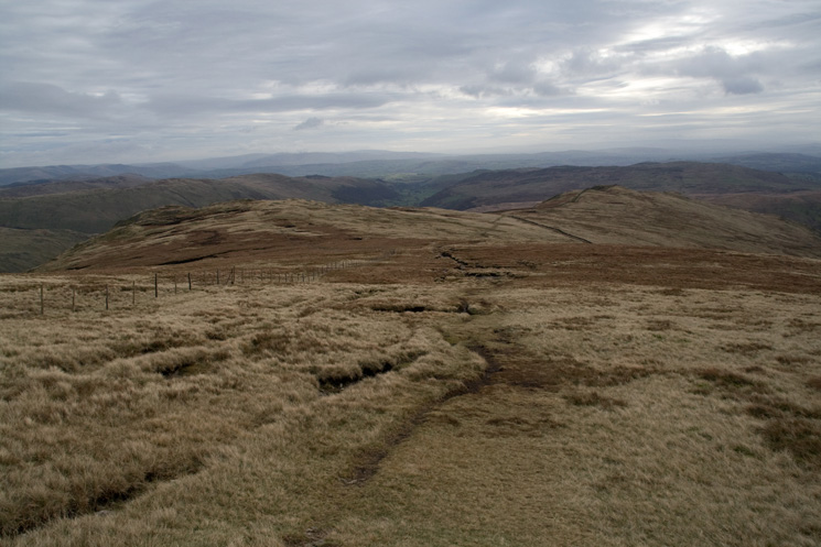
Just follow the fence to Kentmere Pike from Harter Fell
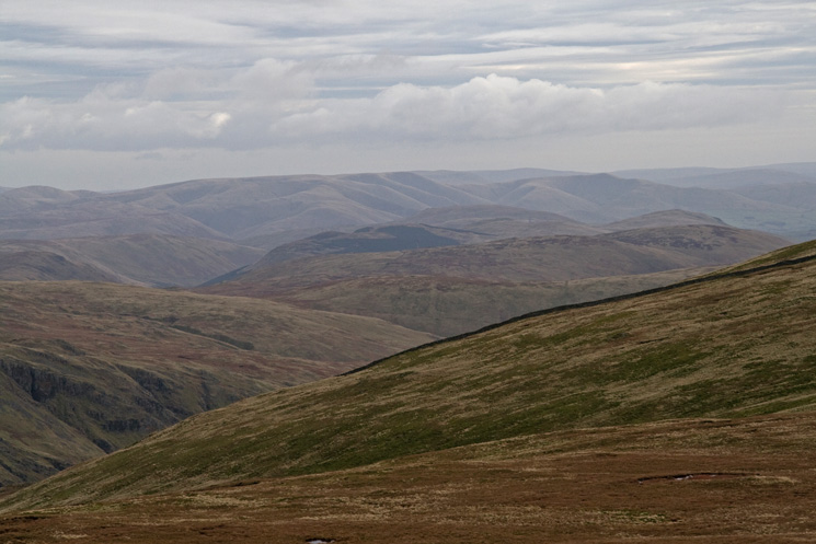
The Howgill Fells in the distance to the south east
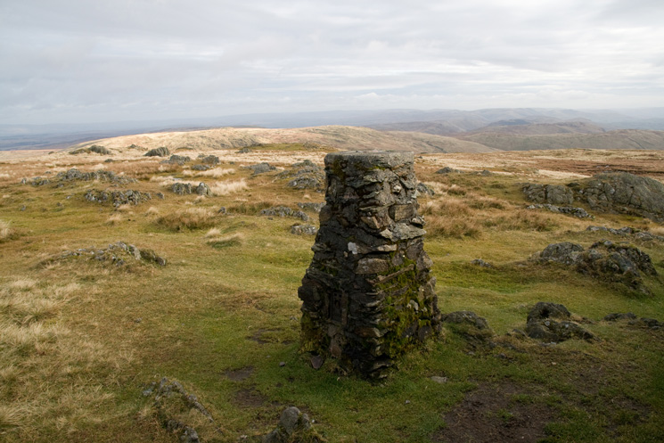
Kentmere Pike trig point
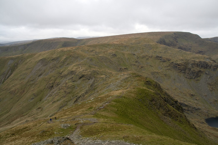
Looking back to Kentmere Pike's summit as we head for Shipman Knotts
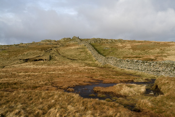
Goat Scar (left) and Shipman Knotts (right)
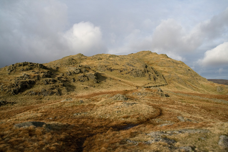
Shipman Knotts summit from the south
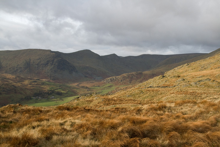
Upper Kentmere from our descent off Shipman Knotts
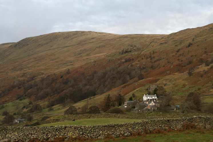
Kentmere Pike and the hamlet of Hallow Bank
Previous Walk: Catbells (Sun 18 Nov 2007)
Next Walk: Circuit of Buttermere (Sat 1 Dec 2007)