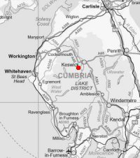
Catbells
Sun 18 Nov 2007
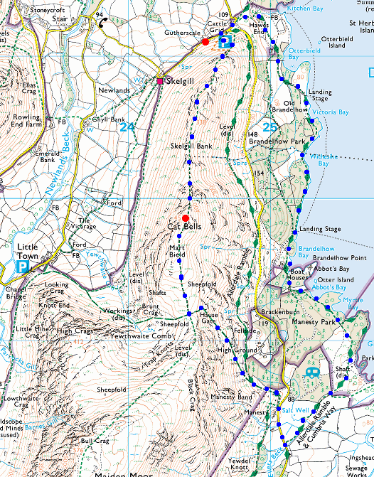
Route: Hawes End - Skelgill Bank - Catbells - Hause Gate - Manesty - Derwent Water - High Brandelhow - Low Brandelhow - Hawes End
Distance: 5.00 miles
Ascent: 1,250ft
Time: 2 hours 30 minutes
With: On Own
Notes:
Cloud base around 1,500ft but it did stay dry for me
© Crown copyright. All rights reserved. Licence number AL100038401
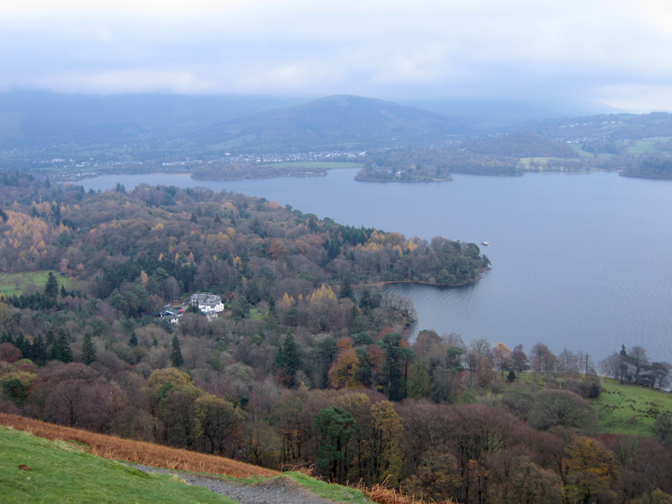
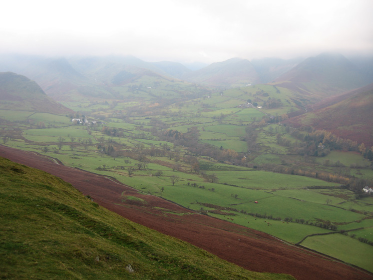
Derwent Water from above Hawes End on the ascent of Skelgill Bank
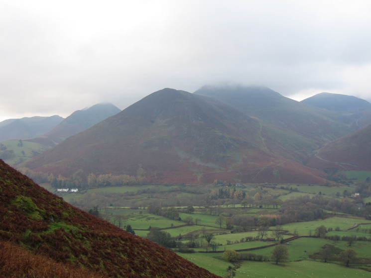
Looking across to Rowling End with Causey Pike behind with its top in the cloud

Catbells looks like it is towering above us from this angle
Newlands
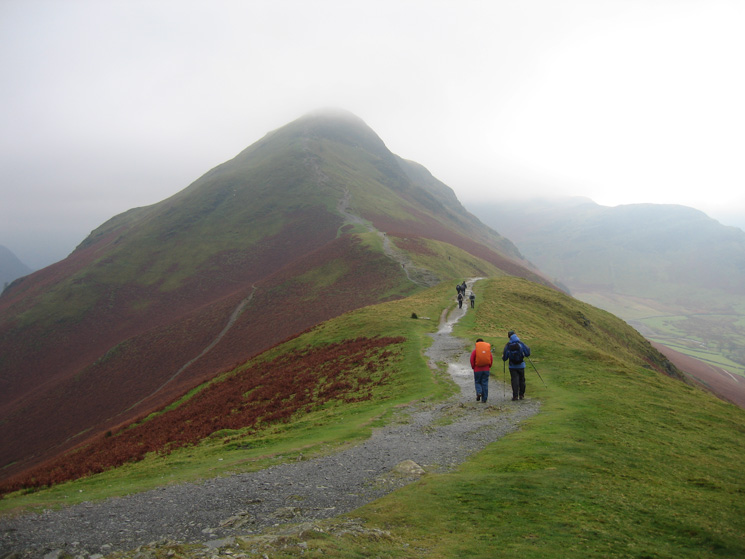
Heading along Skelgill Bank towards Catbells
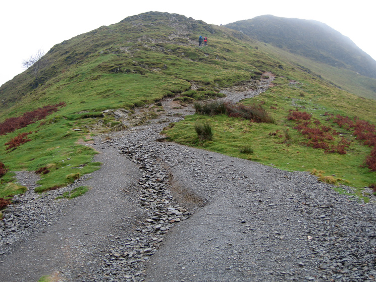
The route up to Catbells summit, suffering a bit from its popularity
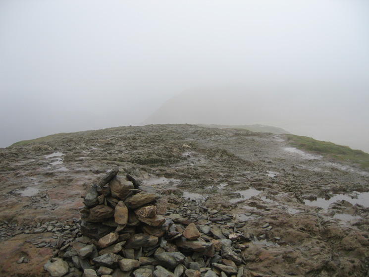
Catbells summit, it does not normally have a cairn
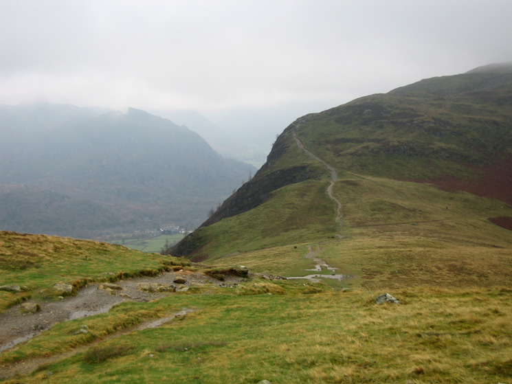
Hause Gate and the path to Maiden Moor
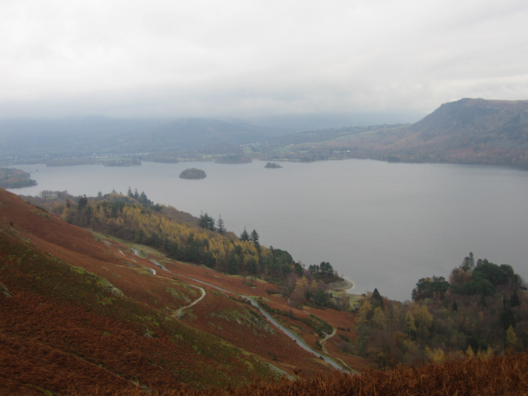
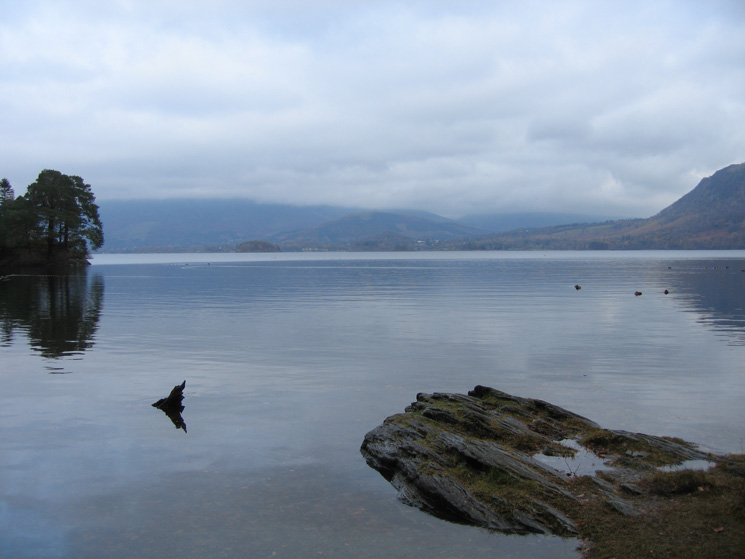
Derwent Water from my descent from Hause Gate
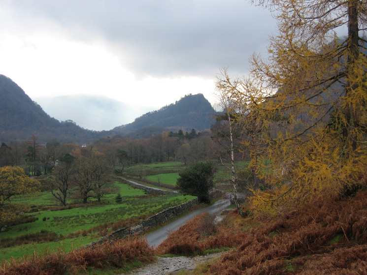
Castle Crag from near Manesty as I join the back road to Grange
Castle Crag from Manesty
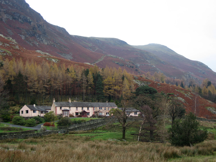
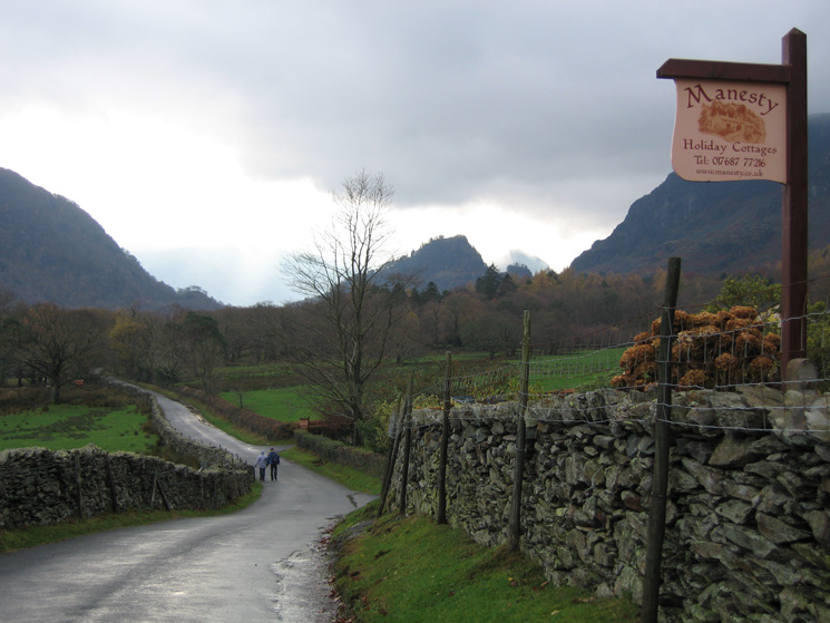
The pink cottages at Manesty with the path down from Hause Gate above
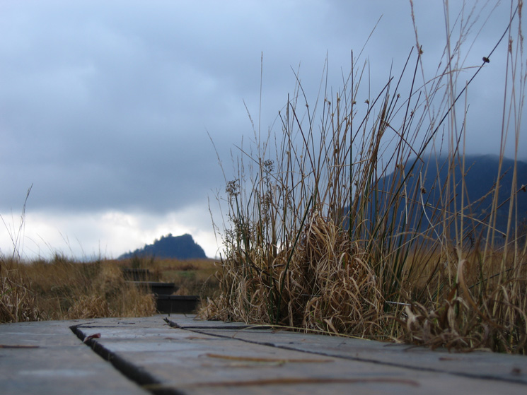
Castle Crag from boardwalk level
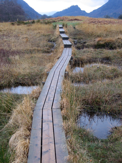
A section of boardwalk on the round Derwent Water path with Castle Crag in the distance
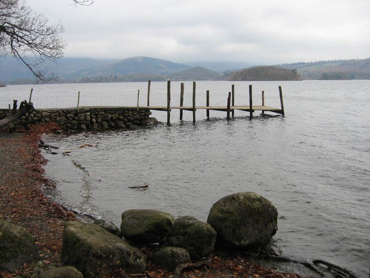
Abbot's Bay, Derwent Water
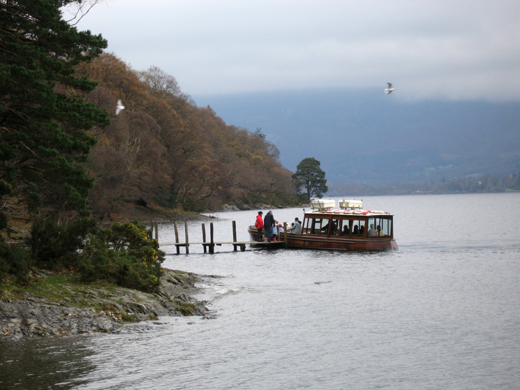
A Derwent Water launch picks up passengers at High Brandelhow
Looking across Derwent Water to Walla Crag and Falcon Crag from High Brandelhow
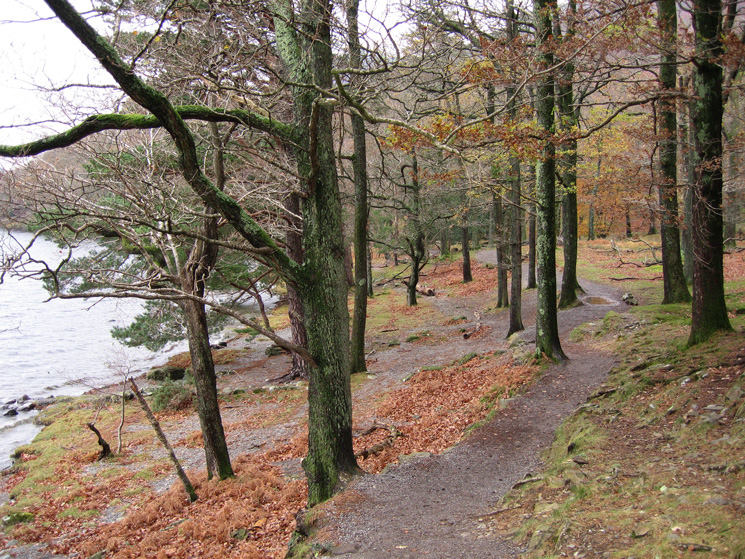
Looking back along a section of the lakeside path at Brandelhow
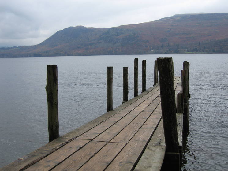
Low Brandelhow
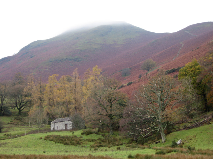
Catbells with its top still in cloud from near the Hawes End Centre
Previous Walk: Great Gable Remembrance Day Service (Sun 11 Nov 2007)
Next Walk: Nan Bield Pass and Kentmere Pike (Sun 25 Nov 2007)