Brock Crags, Angle Tarn and Angletarn Pikes
Sun 18 Jan 2004
Route: Hartsop - Brock Crags - Angle Tarn - Angletarn Pikes - Boredale Hause - Hartsop
Distance: 5.25 miles
Ascent: 1,750ft
Time: 2 hours 40 minutes
With: On Own
Notes:
Overcast, snow on the tops
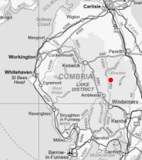
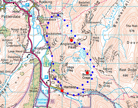
© Crown copyright. All rights reserved. Licence number AL100038401
Gray Crag and Pasture Beck
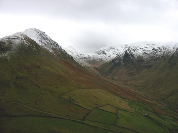
The Fairfield fells and Brothers Water from the ascent of Brock Crags
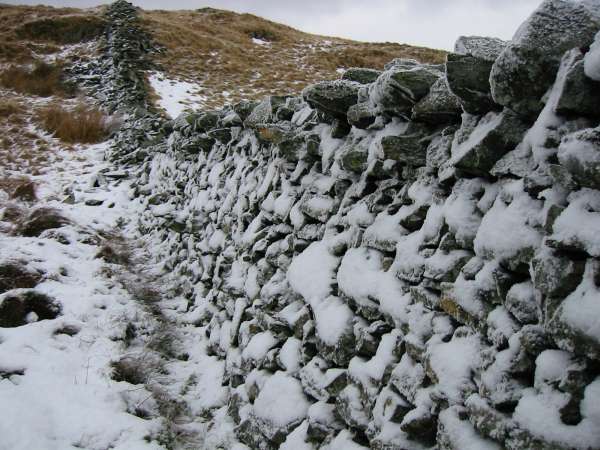
Snowy wall
Brock Crags summit
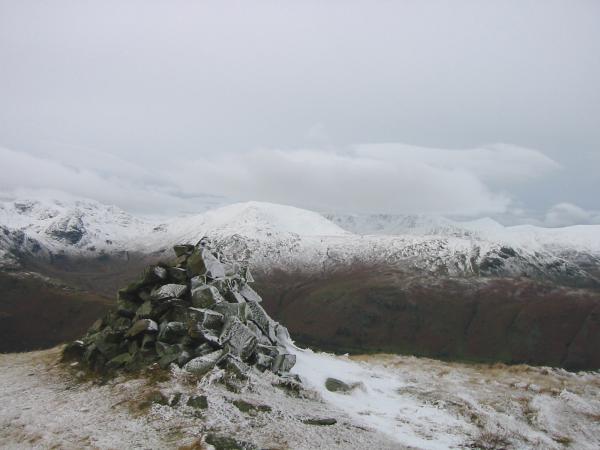
A snow covered Saint Sunday Crag from Brock Crags' summit cairn
Looking down on Brothers Water from Brock Crags summit
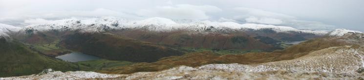
Westerly panorama from Brock Crags' summit
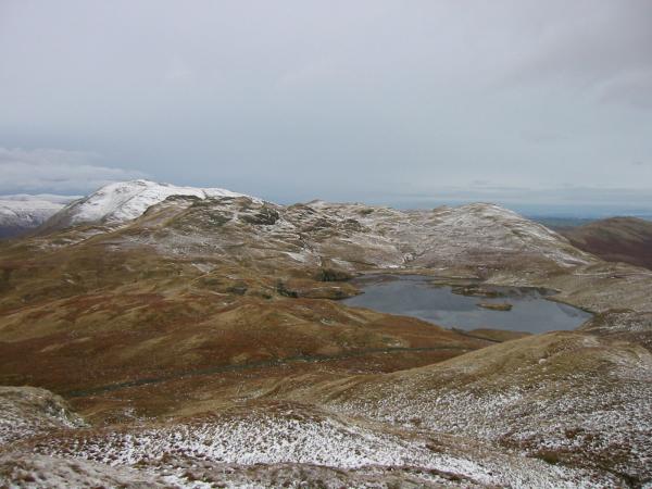
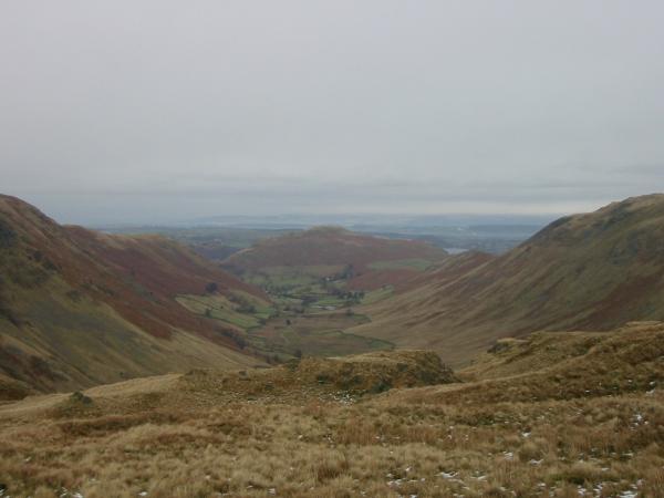
Place Fell, Angletarn Pikes and Angle Tarn from Brock Crags
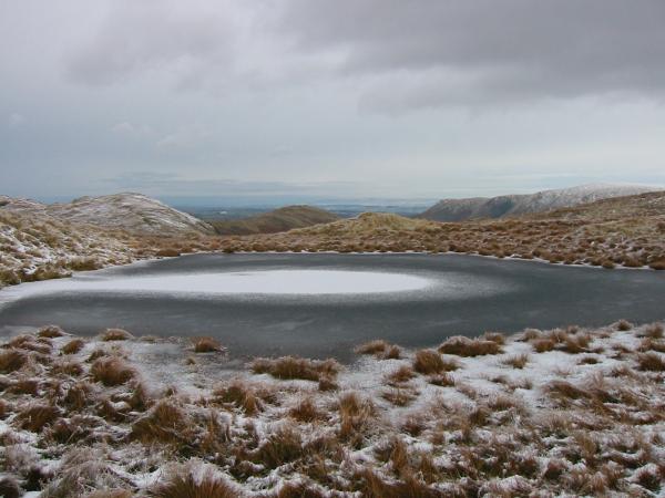
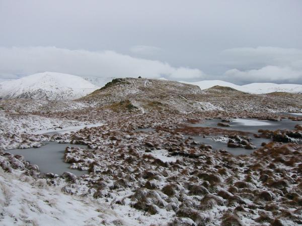
Frozen tarn on Brock Crags
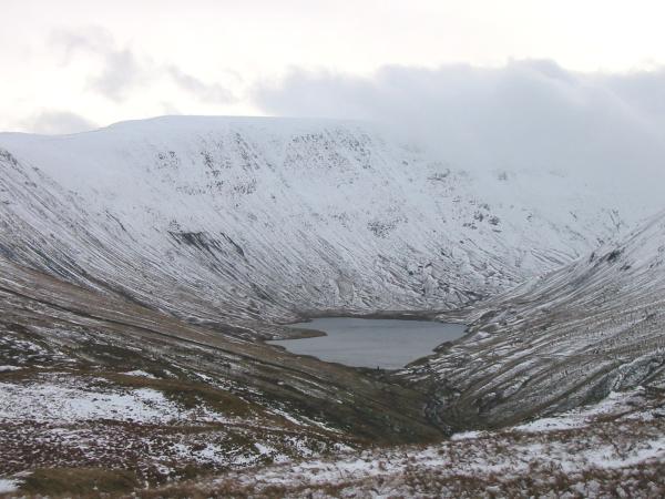
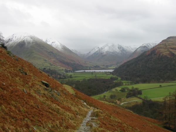
Hayeswater and a snow covered High Street
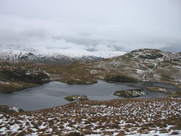
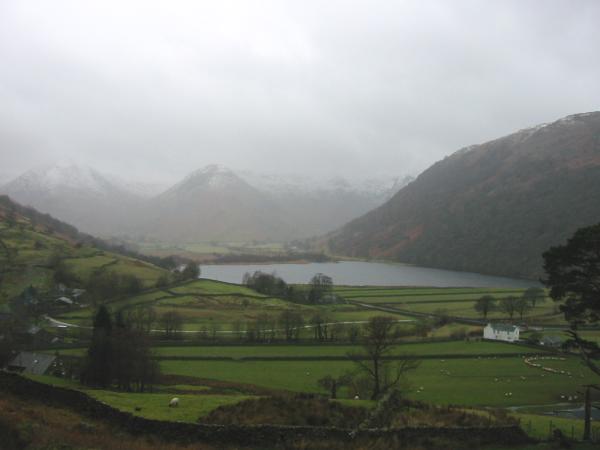
Angle Tarn
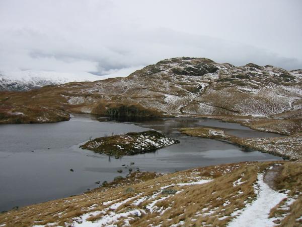
Angle Tarn and the southern top of Angletarn Pikes
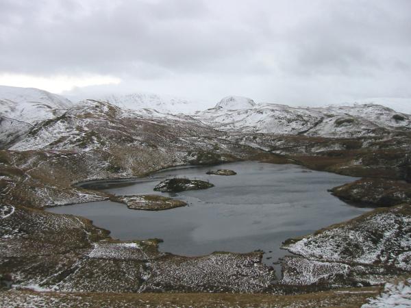
Looking back down on Angle Tarn from the ascent of Angletarn Pikes' southern top

360 Panorama from Angletarn Pikes' summit
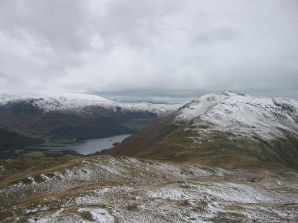
Ullswater and Place Fell from Angletarn Pikes' northern and higher top
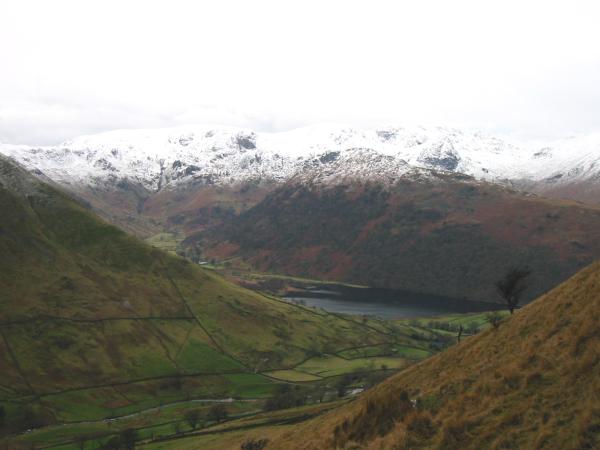
Boredale with Hallin Fell at its end from the descent to Boredale Hause
The head of Ullswater from below Boredale Hause
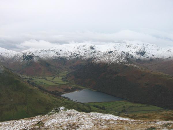
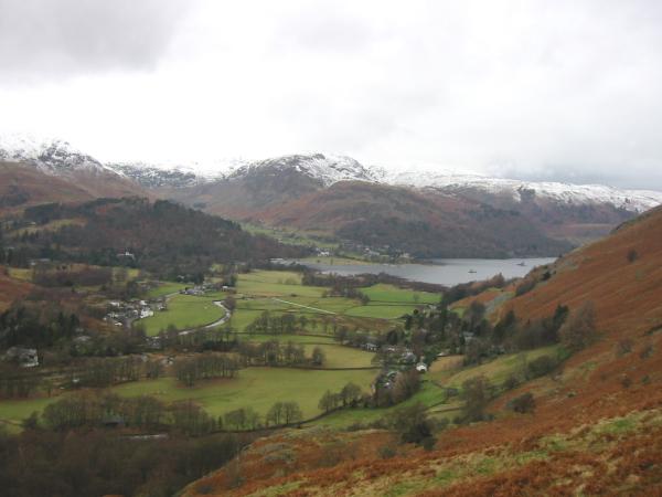
Brothers Water surrounded by fells from the path to Hartsop
Brothers Water from above Hartsop as the weather closes in
Previous Walk: Blencathra (Sat 17 Jan 2004)
Next Walk: Helvellyn via Striding and Swirral Edges (Sun 25 Jan 2004)